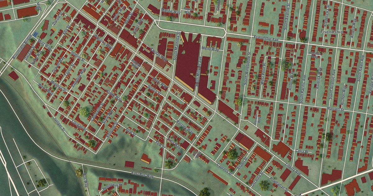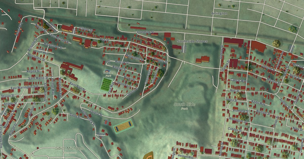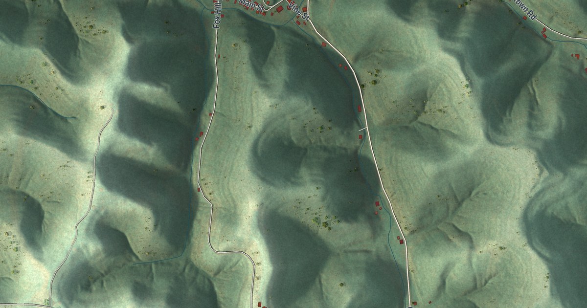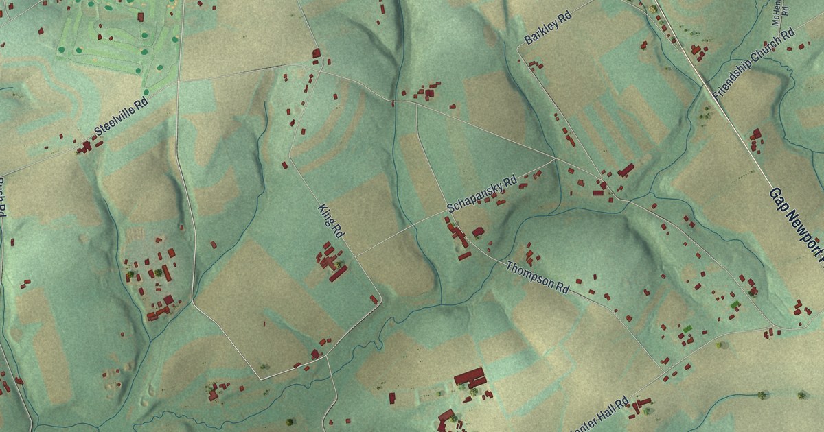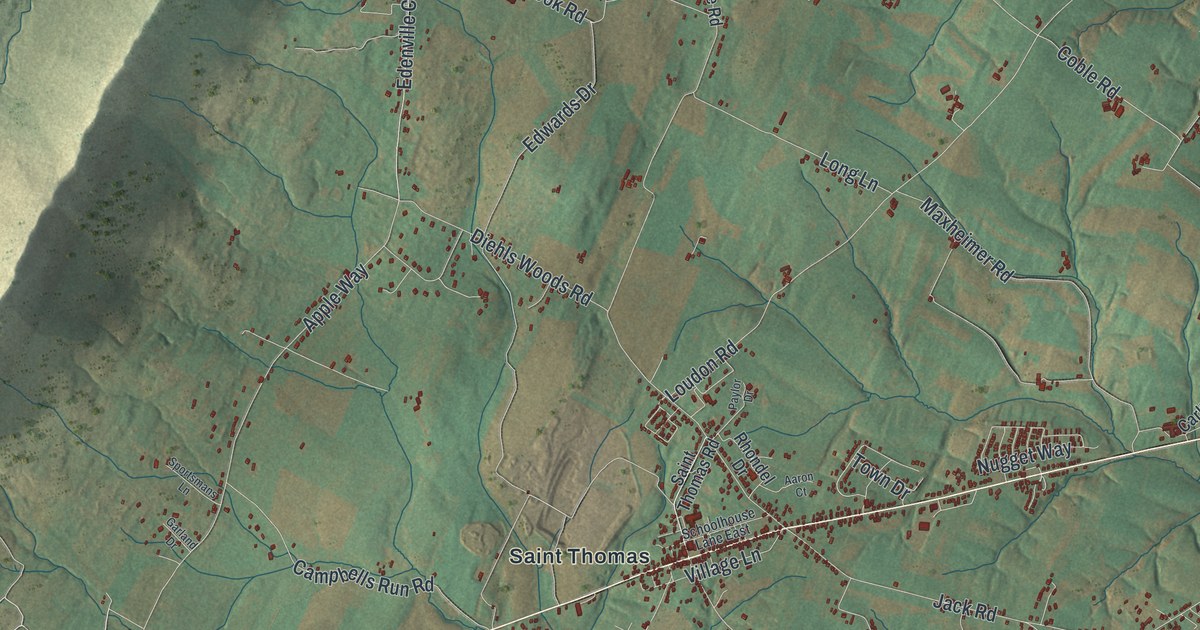
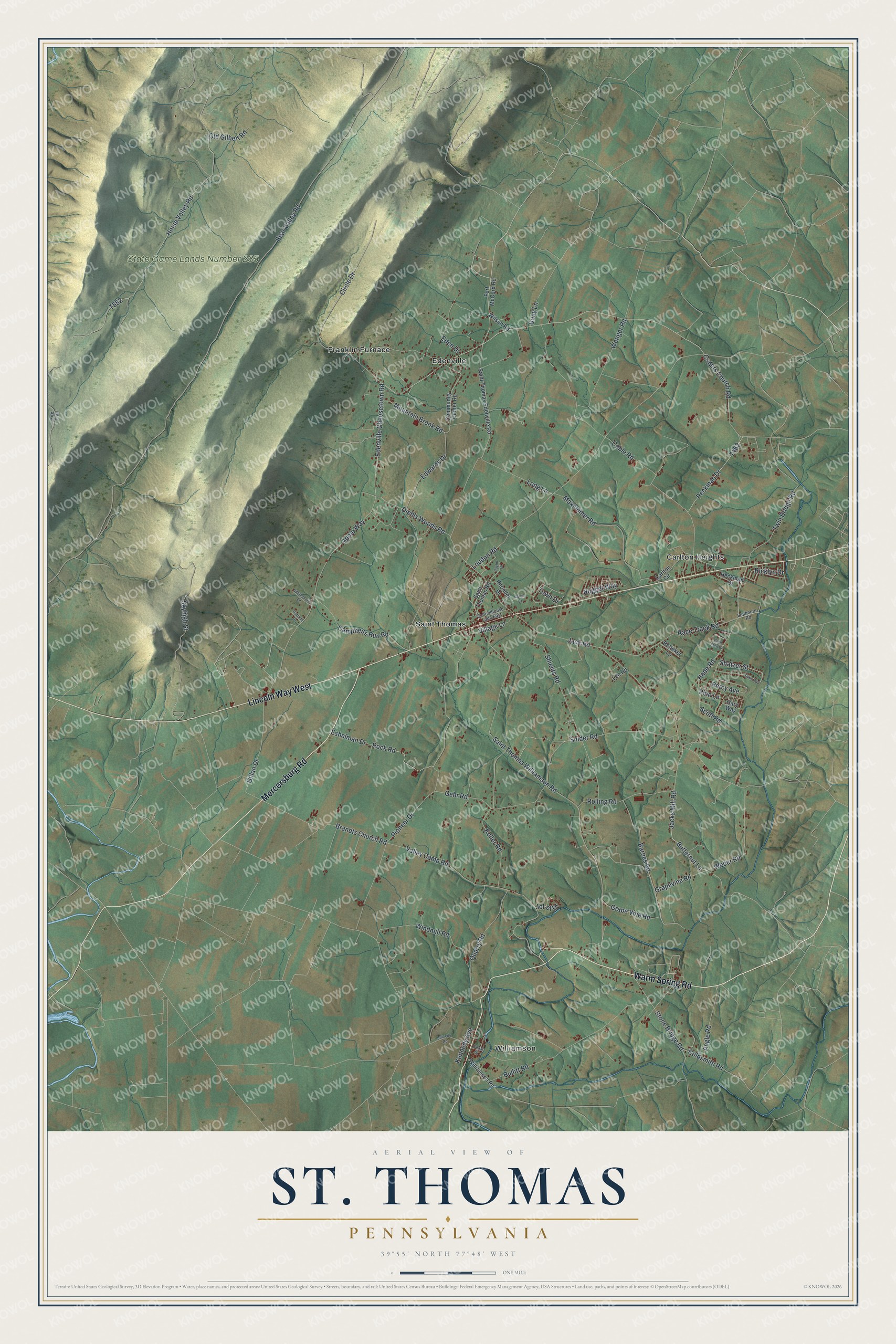
This beautifully detailed map of St. Thomas, Pennsylvania was created in 2026 using aerial imagery combined with modern topographical, census, street and landmark data. It's a modern aerial view of St. Thomas in Franklin County, Pennsylvania, that combines modern data with a vintage aesthetic. The roads feature printed names, and if you look closely you can find your exact house accurately shown in its correct location.
Explore an aerial view of St. Thomas, Pennsylvania
On this map you'll find State Game Lands Number 235, Carlton Heights, Edenville, Franklin Furnace, Saint Thomas, Williamson, Warm Spring Road, Lincoln Way West, Mercersburg Road, Hade Road, Shatzer Street, Grapevine Road, and more. Each red shape is a building, so zoom in on the preview and look for yours.
St. Thomas has a story worth telling. The PA Historical and Museum Commission puts it this way: "1997 Baseball Hall of Fame inductee. Second baseman for the Chicago White Sox (1950-1963). Known for his passion and work ethic, Fox was an AL MVP (1959), a 3-time Gold Glove Award winner, and a 12-time All-Star. His boyhood home stands nearby."
St. Thomas is a place in Franklin County. The Census Bureau counted 5,917 people here in 2020.
Take a closer look at the St. Thomas map
Names on this map
These names are printed on this map.
Places: State Game Lands Number 235, Carlton Heights, Edenville, Franklin Furnace, Saint Thomas and Williamson.
Streets and roads: Warm Spring Road, Lincoln Way West, Mercersburg Road, Hade Road, Shatzer Street, Grapevine Road, Race Track Road, Butternut Lane, Jacks Mill Road, Rock Road, Apple Way, Edenville Cheesetown Road.
More street names, A to Z
Aaron Court, Angle Road, Barnes Road, Bear Valley Road, Betteker Lane, Bony Lane, Brandts Church Road, Bullitt Road, Campbells Run Road, Carlton Circle, Cedar Street, Circle Drive, Coble Road, Coldsmith Road, Community Center Road, Criders Church Road, Diehls Woods Road, Dixie Avenue, Eden Drive, Edwards Drive, Eshelman Drive, Fire Trail, Fort McCord Road, Garland Drive, Gary Way, Gehr Road, Gillan Drive, Glen Elen Drive, Grape Vine Road, Heckman Drive, Horse Valley Road, Jack Road, Jol-el Drive, Keller Road, Kennedy Avenue, Leafmore Road, Lee Road, Long Lane, Loudon Road, Maxheimer Road, Mountain Brook Road, Nugget Way, Old Gilbert Road, Paylor Drive, Peckman Drive, Percy Avenue, Pine Lane, Pioneer Drive, Quarry Road, Rhondel Drive, Ricklyn Drive, Rolling Road, Saint Thomas Edenville Road, Saint Thomas Road, Saint Thomas Williamson Road, Schoolhouse Lane East, Scott Road, Shields Road, Skyhigh Street, Snider Road, Sportsmans Lane, Stitzells Road, Stone Bridge Road, Town Drive, Twin Bridge Road, Valley Camp Road, Village Lane, Weber Road, Wenger Road, Williamson Road, Wilson Road, Windmill Road.
See it on a wall
The St. Thomas map as a framed print. Swipe for more.


Created by KNOWOL in 2026. The buildings are small red shapes, the roads carry their printed names, and shaded relief shows the shape of the land. The title panel reads "AERIAL VIEW OF ST. THOMAS, PENNSYLVANIA" with 39°55' NORTH 77°48' WEST.
It looks right in a kitchen, an office or a den, and it's a gift for anyone who grew up in St. Thomas or moved away. Open the preview and find your street. See sizes and frames for the St. Thomas map.