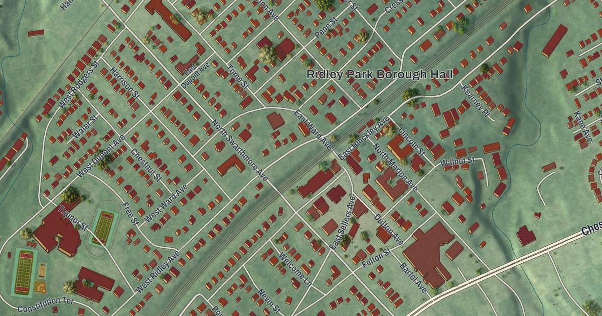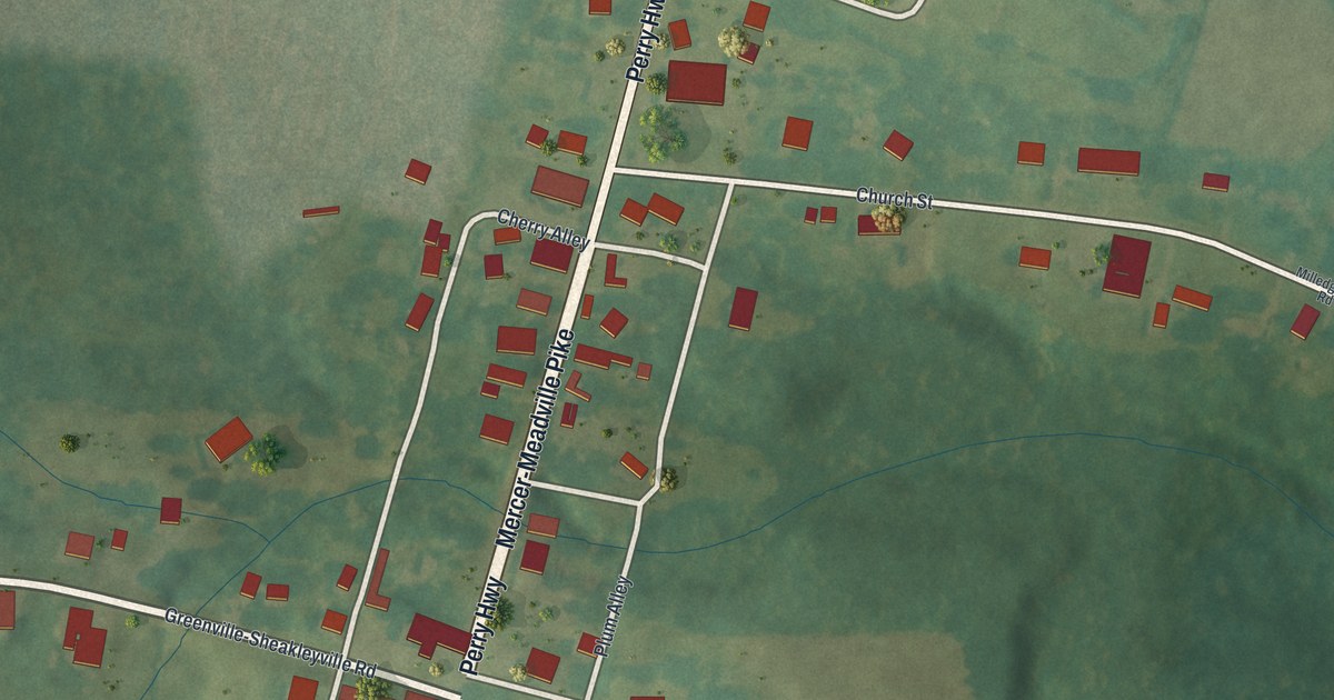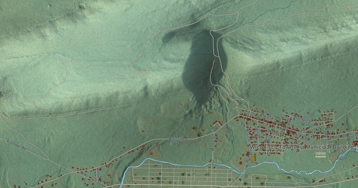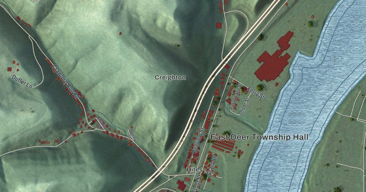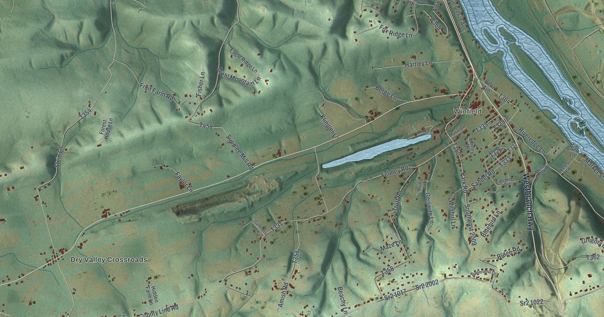
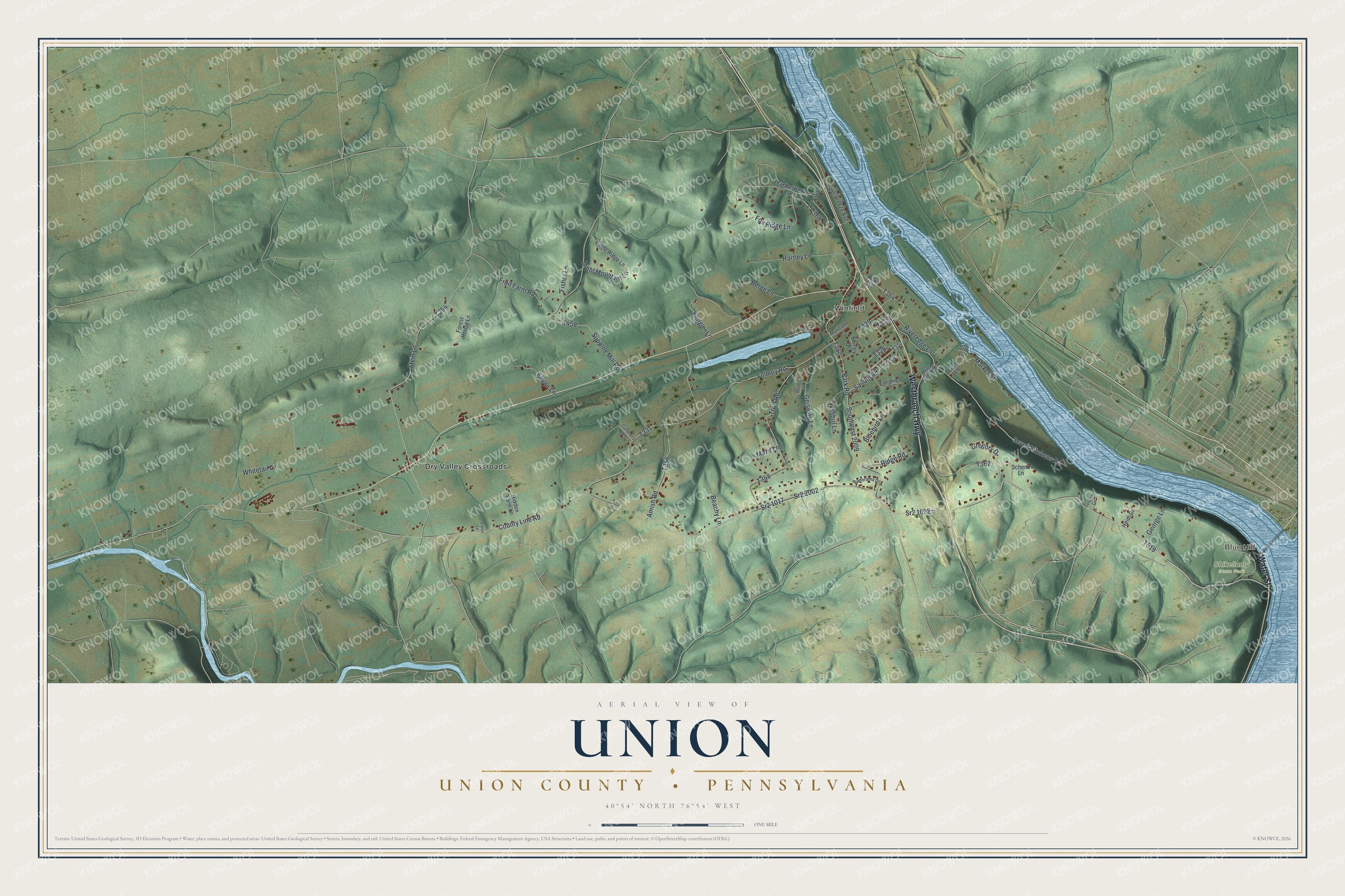
This beautifully detailed map of Union, Union County, Pennsylvania was created in 2026 using aerial imagery combined with modern topographical, census, street and landmark data. It's a modern aerial view of Union, Union County in Union County, Pennsylvania, that combines modern data with a vintage aesthetic. The roads feature printed names, and if you look closely you can find your exact house accurately shown in its correct location.
Explore an aerial view of Union, Union County, Pennsylvania
On this map you'll find Blue Hill, Winfield, Shikellamy State Park, Dry Valley Crossroads, Westbranch Highway, Water Street, County Line Road, T519, Sr2 1022, Park Road, Southeast 2009, T360, and more. Each red shape is a building, so zoom in on the preview and look for yours.
Here is a piece of Union, Union County history, in the words of the record. The Jefferson County Genealogy Project puts it this way: "The first settler in what is now Union township was John Scott, a brother of Samuel Scott, who came with the Barnetts from Lycoming county. He married a daughter of Paul Clover and made the first improvement where the town of Corsica is now located about 1802."
Union, Union County is a place in Union County. The Census Bureau counted 1,633 people here in 2020.
Take a closer look at the Union, Union County map
Names on this map
These names are printed on this map.
Places: Blue Hill, Winfield, Shikellamy State Park and Dry Valley Crossroads.
Streets and roads: Westbranch Highway, Water Street, County Line Road, Sr2 1022, Park Road, Southeast 2009, Sr2 1017, Felmey Road, Stein Lane, Seven Kitchens Road, Trutt Road, Supplee Mill Road.
More street names, A to Z
Amish Road, Beachy Lane, Berge Lane, Bluebird Lane, Diehl Mountain Lane, Eagle Ridge Lane, Eaton Lane, Evergreen Drive, Faylor Lane, Fisher Lane, Forest House Lane, Fox Ridge Lane, Fruit Farm Road, Gardners Lane, Geiswite Lane, George Lane, Goodhart Circle, Gregory Drive, Hartley Lane, Heidi Drive, Hidden Farm Lane, Klingler Lane, Lees Lane, Market Street, Maze Lane, Mulls Hollow Road, Municipal Lane, Panorama Drive, Reitz Avenue, Ridge Road, Riverbreeze Avenue, Riveredge Lane, Roush Lane, Sandel Road, Schenk Lane, Shirley Drive, Silo Lane, Sr2 2002, Timberwood Drive, Whitetail Lane, Wilshirl Lane.
See it on a wall
The Union, Union County map as a framed print. Swipe for more.


Created by KNOWOL in 2026. The buildings are small red shapes, the roads carry their printed names, and shaded relief shows the shape of the land. The title panel reads "AERIAL VIEW OF UNION, UNION COUNTY • PENNSYLVANIA" with 40°54' NORTH 76°54' WEST.
It suits a den, a classroom or a front hall, and it makes a gift for anyone with Union, Union County roots. Open the preview and find the block you know. See sizes and frames for the Union, Union County map.