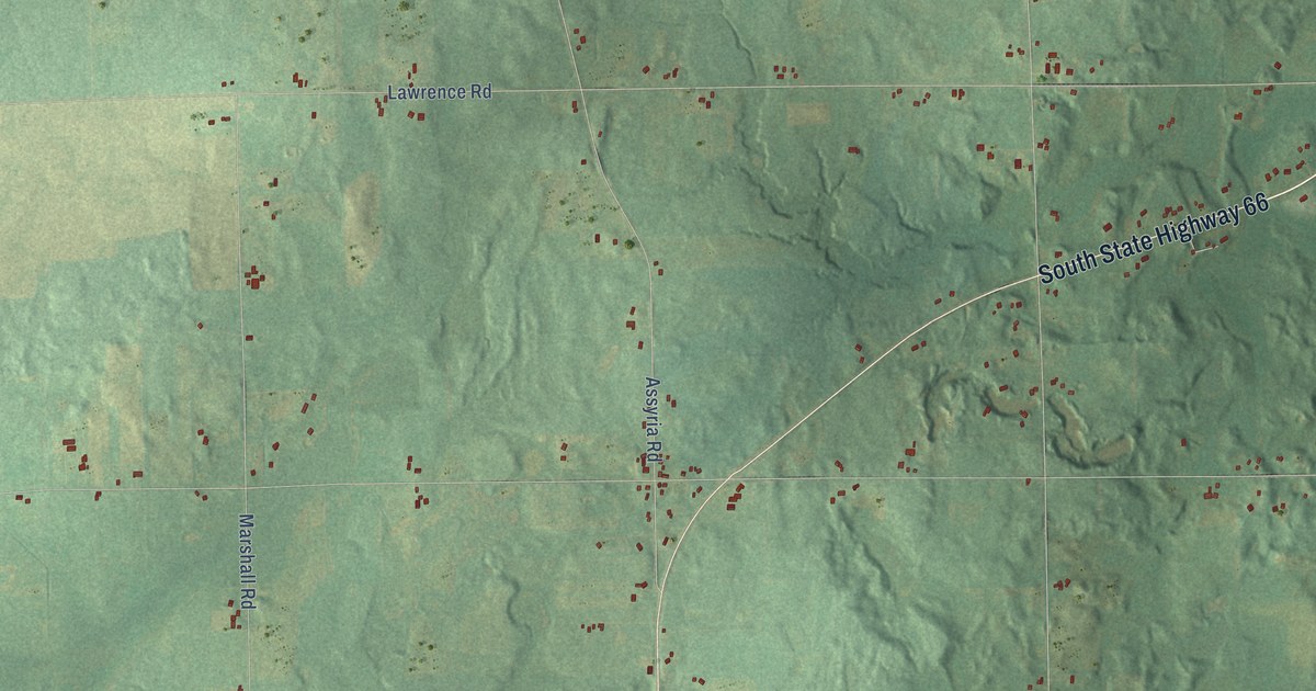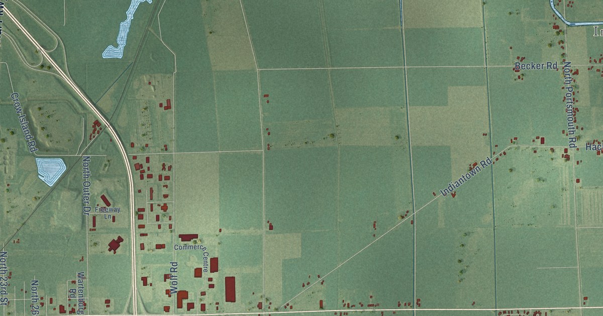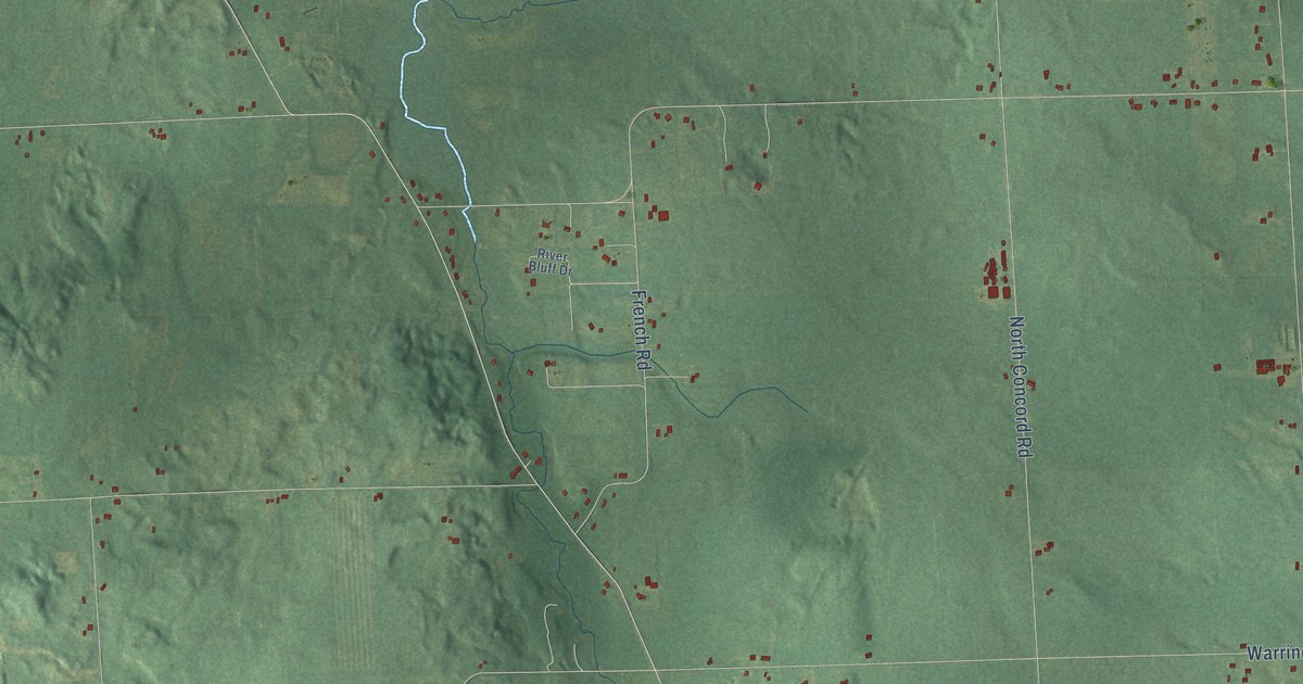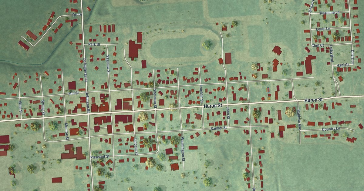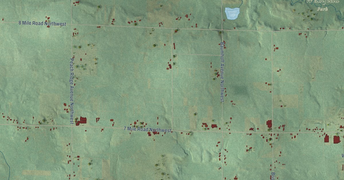
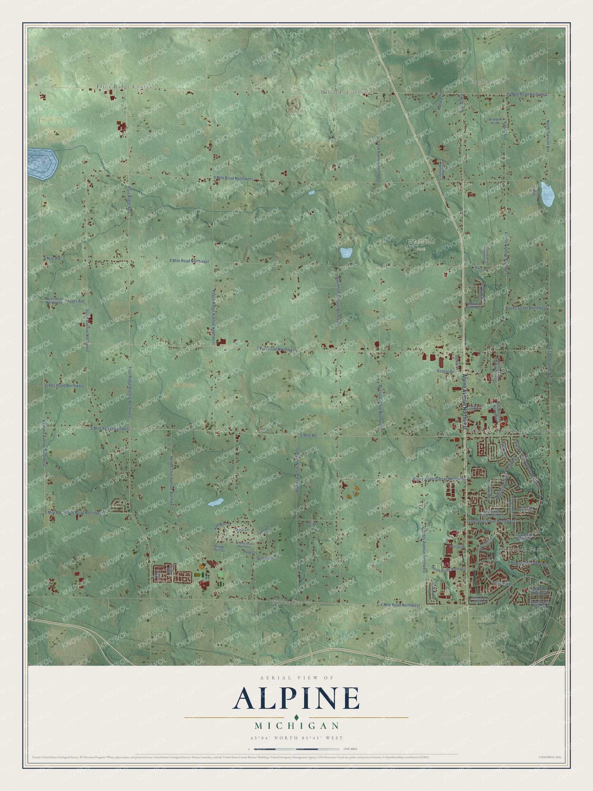
This beautifully detailed map of Alpine, Michigan was created in 2026 using aerial imagery combined with modern topographical, census, street and landmark data. It's a modern aerial view of Alpine in Kent County, Michigan, that combines modern data with a vintage aesthetic. The roads feature printed names, and if you look closely you can find your exact house accurately shown in its correct location.
Explore an aerial view of Alpine, Michigan
On this map you'll find Alpine Township Center, Englishville, Ballards Corners, Wahlfield Park, Comstock Park, Fruit Ridge Center, Wilder Center, Alpine Avenue Northwest, 10 Mile Road Northwest, Alpine Avenue, Vinton Avenue, 4 Mile Road Northwest, and more. Each red shape is a building, so zoom in on the preview and look for yours.
Every town has a first chapter, and Alpine is no exception. The History of Kent County puts it this way: "John Stonehouse erected a water-power saw-mill in 1863 on section 25, Alpine, which was burned in 1867."
The Census Bureau counted 14,079 people here in 2020.
Take a closer look at the Alpine map
Names on this map
These names are printed on this map.
Places: Alpine Township Center, Englishville, Ballards Corners, Wahlfield Park, Comstock Park, Fruit Ridge Center and Wilder Center.
Streets and roads: Alpine Avenue Northwest, 10 Mile Road Northwest, Alpine Avenue, Vinton Avenue, 4 Mile Road Northwest, Fruit Ridge Avenue Northwest, Fruit Ridge Avenue, Peach Ridge Avenue Northwest, Baumhoff Avenue Northwest, 6 Mile Road Northwest, 8 Mile Road Northwest, 9 Mile Road Northwest.
More street names, A to Z
5 Mile Road, 5 Mile Road Northwest, 6 Mile Road, 7 Mile Road Northwest, 8 Mile Road, 9 Mile, Alpenhorn Drive Northwest, Alpine Church Road Northwest, Ballard Court, Bertha Street Northwest, Biddeford Drive Northwest, Bluebird Acres, Brambleberry Drive, Brandywyne Drive Northwest, Bristol Avenue Northwest, Candi Lane, Casper Avenue, Cisco Grove, Clark Street Northwest, Comstock Park Drive Northwest, Cordes Avenue Northwest, Dana Street Northwest, Division Avenue North, Gibbs Road Northwest, Gillette Lane Northwest, Hachmuth Drive Northwest, Hayes Avenue, Hayes Road Northwest, Hayes Street Northwest, Hendershot Avenue Northwest, Henze Street Northwest, Jamesway Drive, Jeremy Street Northwest, Kenowa Avenue Northwest, Lamoreaux Drive Northwest, Mabel Street Northwest, Main Street Northwest, Marway Northwest, Menard Street, Netherfield Street Northwest, North Division Avenue, Park Drive, Raap Drive, Rhino Drive, Ridge Port Court, Ridgeport Drive, Rusche Drive Northwest, Schindler Drive, Sparta Avenue Northwest, Stage Avenue Northwest, Stony Creek Avenue Northwest, Stowe Avenue, Venture Avenue Northwest, Vinton Avenue Northwest, Vitality Drive, Wahlfield Avenue Northwest, Wahlfield Court, Walker Avenue Northwest, Westgate Avenue Northwest, Westnedge Avenue Northwest, Westshire Drive Northwest, Yorkland Drive.
Created by KNOWOL in 2026. The buildings are small red shapes, the roads carry their printed names, and shaded relief shows the shape of the land. The title panel reads "AERIAL VIEW OF ALPINE, MICHIGAN" with 43°04' NORTH 85°41' WEST.
Hang it in the hallway, the office or the cabin, or give it to someone who left Alpine and still calls it home. Open the preview and look for a street you know. See sizes and frames for the Alpine map.