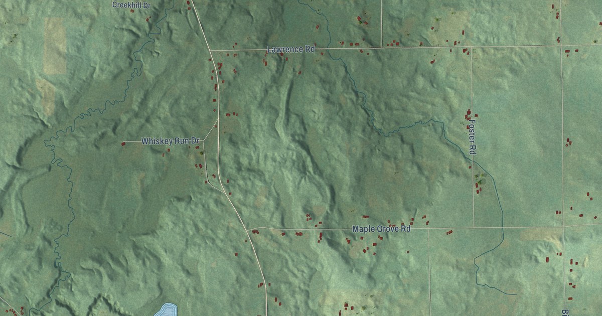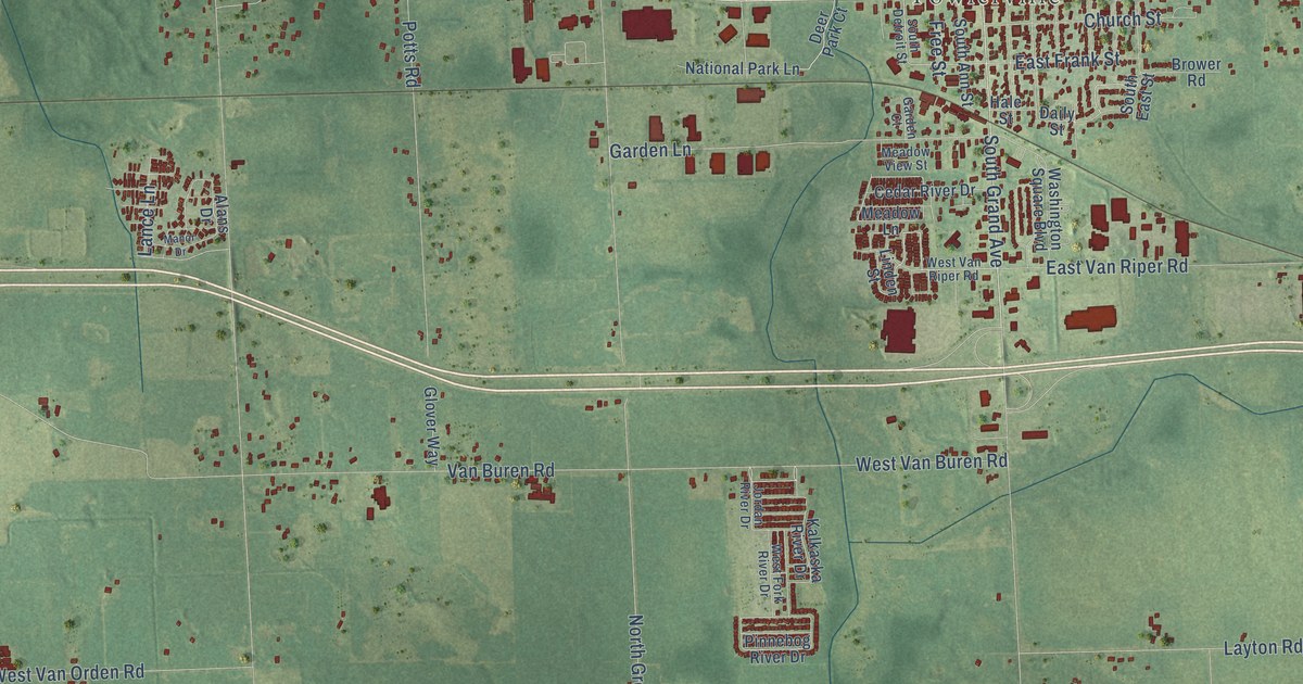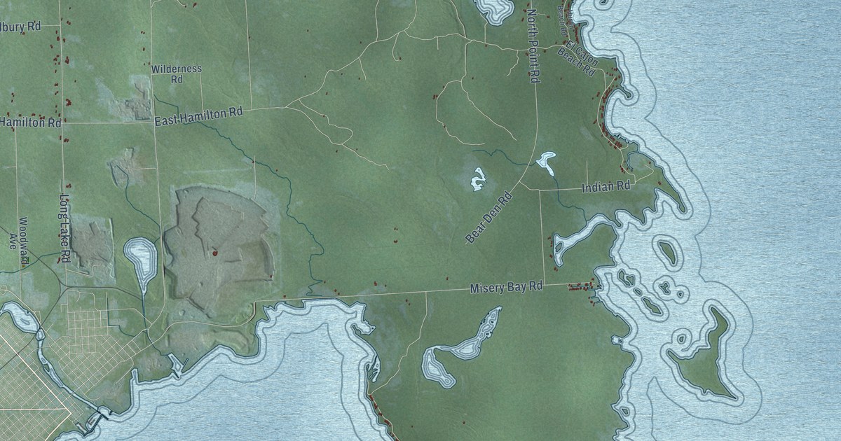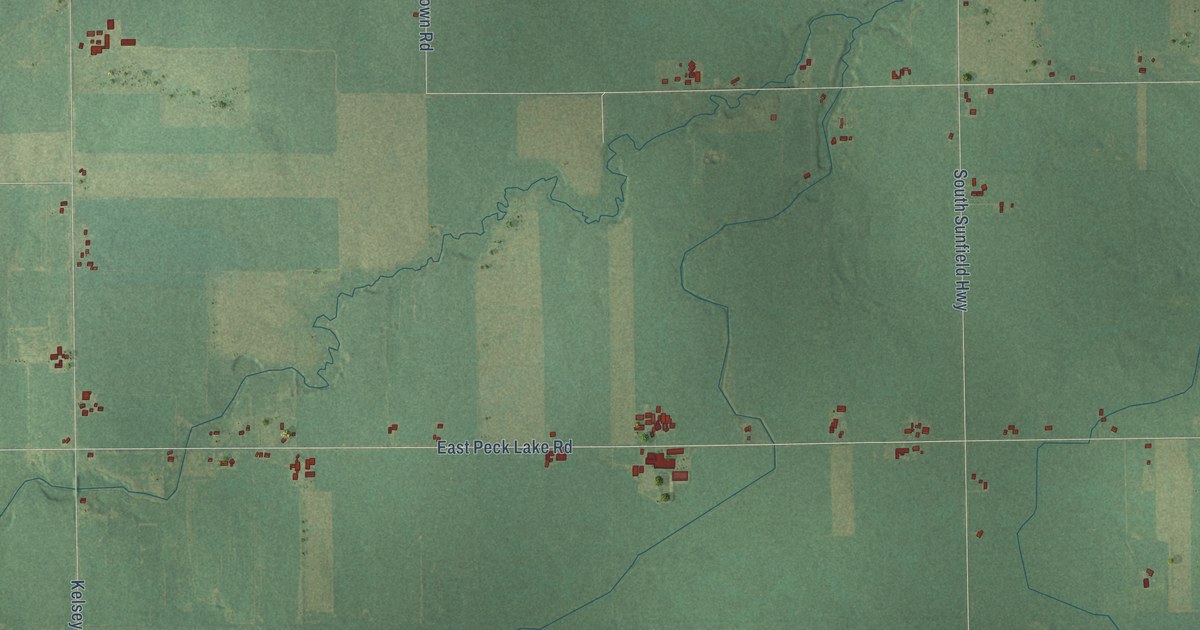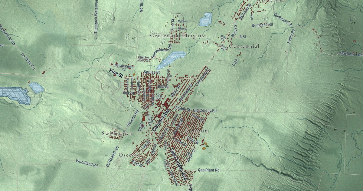
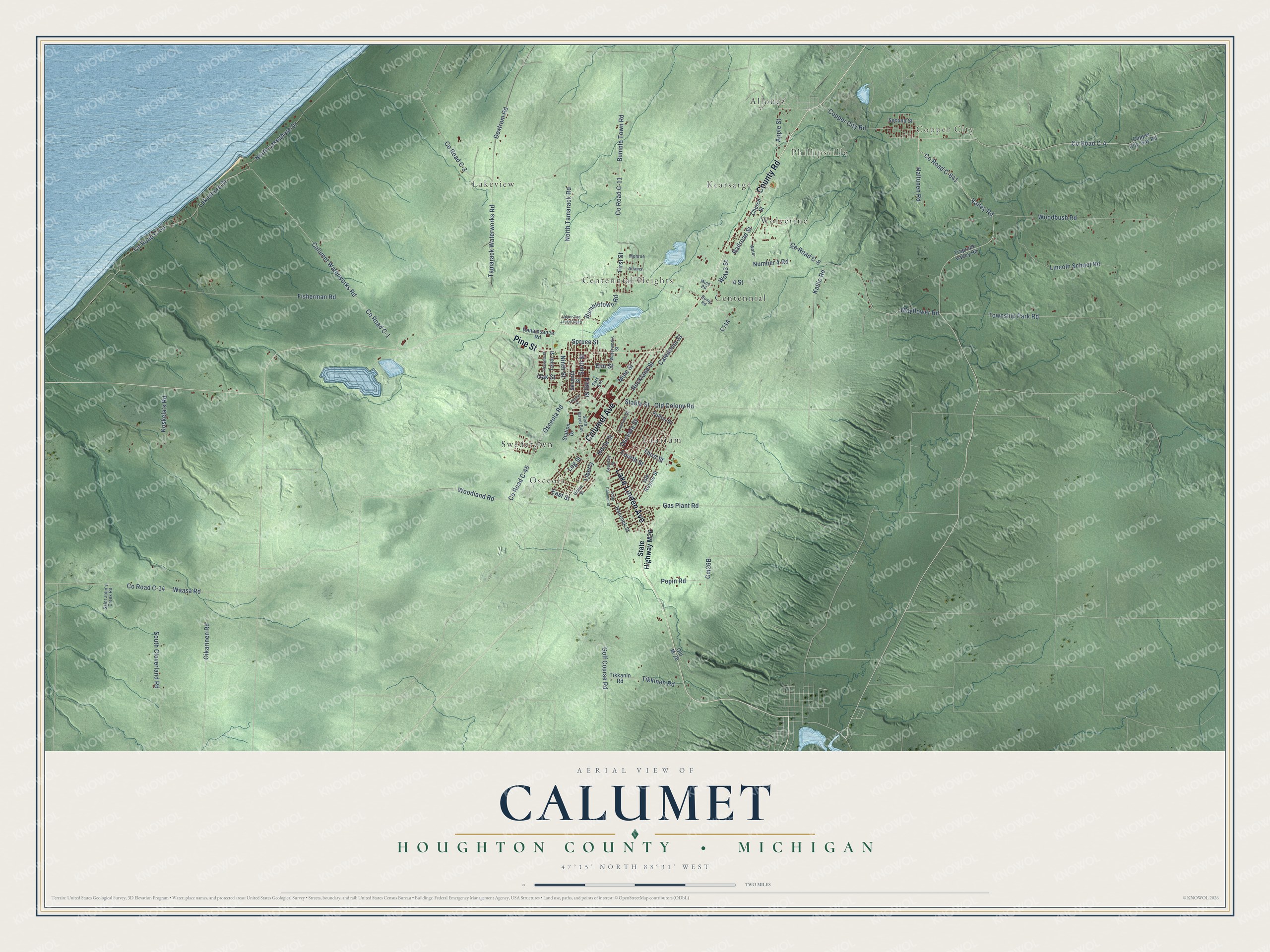
This beautifully detailed map of Calumet, Michigan was created in 2026 using aerial imagery combined with modern topographical, census, street and landmark data. It's a modern aerial view of Calumet in Houghton County, Michigan, that combines modern data with a vintage aesthetic. The roads feature printed names, and if you look closely you can find your exact house accurately shown in its correct location.
Explore an aerial view of Calumet, Michigan
On this map you'll find Copper City, Phillipsville, Allouez, Centennial, Centennial Heights, Kearsarge, Lakeview, Laurium, Osceola, Swedetown, Wolverine, Lake Linden Avenue, and more. Each red shape is a building, so zoom in on the preview and look for yours.
Calumet has a story worth telling. The Internet Archive puts it this way: "In 1875, the Calumet and Hecla Mining Company found
their first school building too small, and that year erected
the present large and commodious building."
The Census Bureau counted 6,263 people here in 2020.
Take a closer look at the Calumet map
Names on this map
These names are printed on this map.
Places: Copper City, Phillipsville, Allouez, Centennial, Centennial Heights, Kearsarge, Lakeview, Laurium, Osceola, Swedetown and Wolverine.
Streets and roads: Lake Linden Avenue, County Road, Pine Street, Calumet Avenue, County Road C-641, Valley Road, Third Street, Sixth Street, County Road C-11, County Road C-4, Bumbletown Road, Fourth Street.
More street names, A to Z
4 Street, Adams, Apple Street, Boundary Street, Bumble Town Road, Caledonia Street, Calumet Waterworks Road, Church Street, Copper City-Gay Road, Copper City Road, County Road C-1, County Road C-3, County Road C-8, County Road C-14, County Road C-45, County Road C-50, Dextrom Road, Dump Road, East Street, Eleventh Street, Elm Street, Fifth Street, First Street, Fisherman Road, Fulton Street, Gas Plant Road, Golf Course Road, Haltunen Road, Hancock Street, Hecla Street, Isle Royale Street, Kallio Road, Koskela's Road, Lakeshore Drive, Laurium Street, Liberty, Lincoln School Road, Log Street, Mayflower Road, Mine Road, Mine Street, Monroe, Ninth Street, North Lakeshore Drive, North Tamarack Road, Number 4 Road, Oak Street, Oikarinen Road, Old Colony Road, Old M-26, Osceola Road, Osceola Street, Park Avenue, Pepin Road, Railroad Street, Renaissance Road, Rockland Street, Saint John's Creek Road, Second Street, Seventh Street, Sixth Street Extension, South Calumet Street, South Cloverland Road, Spruce Street, Stable Street, State Highway M26, Station Drive, Tamarack Waterworks Road, Temple Street, Tenth Street, Tikkanln Road, Tikkinen Road, Township Park Road, Traprock Valley Road, Union Street, Upper Red Jacket Shaft, Waasa Road, Water, Waterworks Street, Wolv3 Street, Woodbush Road, Woodland Road.
Created by KNOWOL in 2026. The buildings are small red shapes, the roads carry their printed names, and shaded relief shows the shape of the land. The title panel reads "AERIAL VIEW OF CALUMET, HOUGHTON COUNTY • MICHIGAN" with 47°15' NORTH 88°31' WEST.
It looks right in a kitchen, an office or a den, and it's a gift for anyone who grew up in Calumet or moved away. Open the preview and find your street. See sizes and frames for the Calumet, Houghton County map.