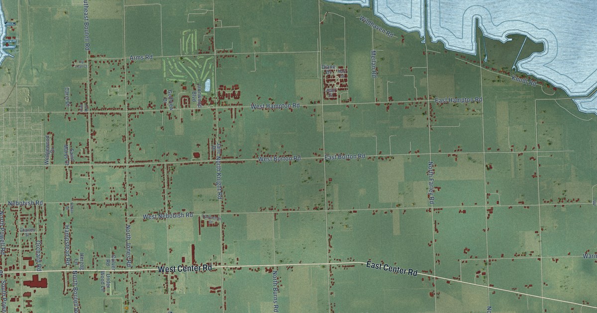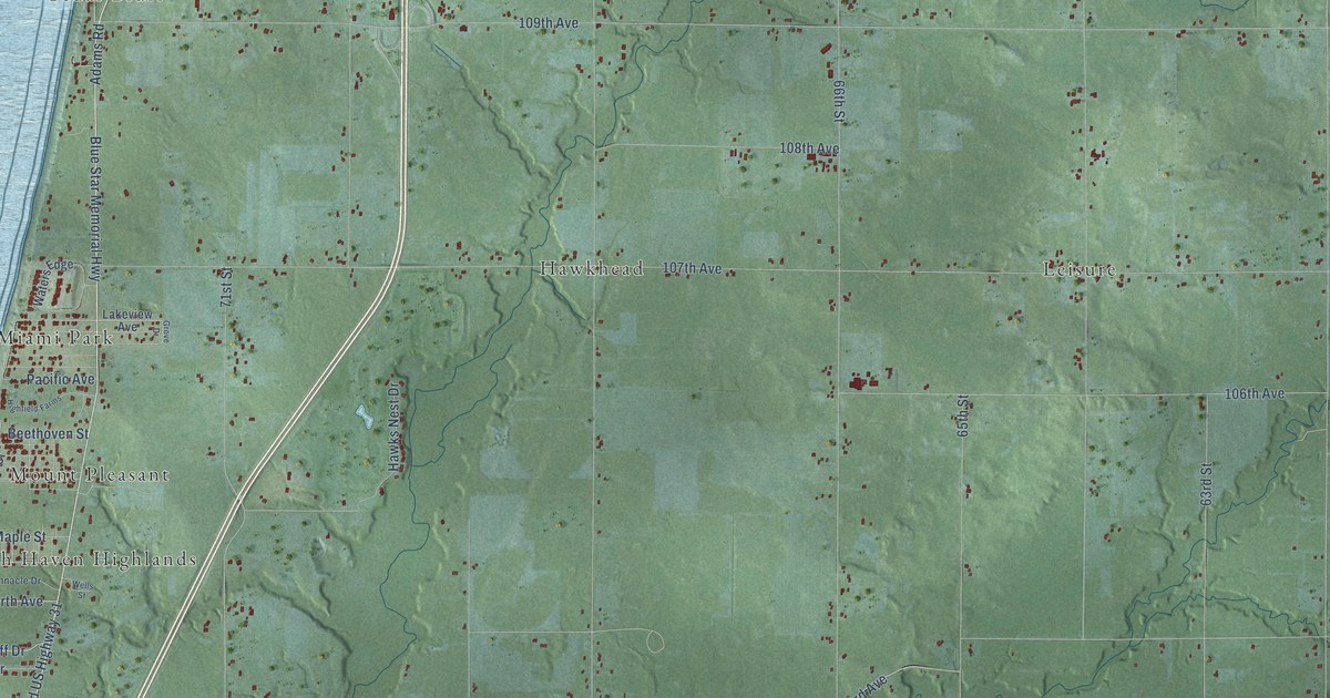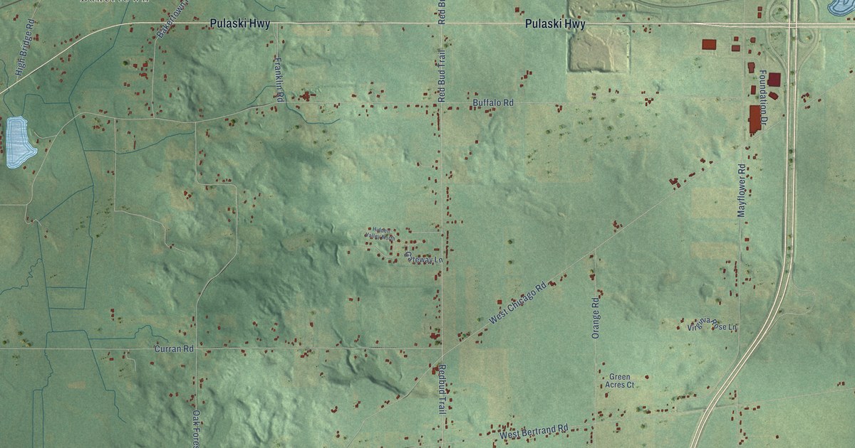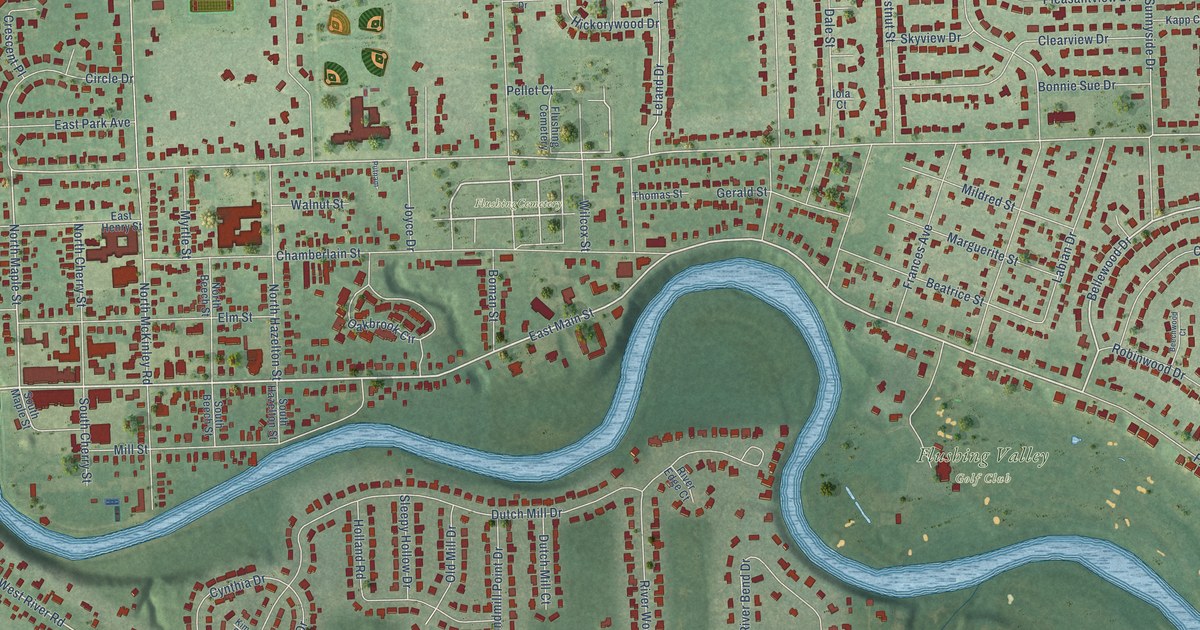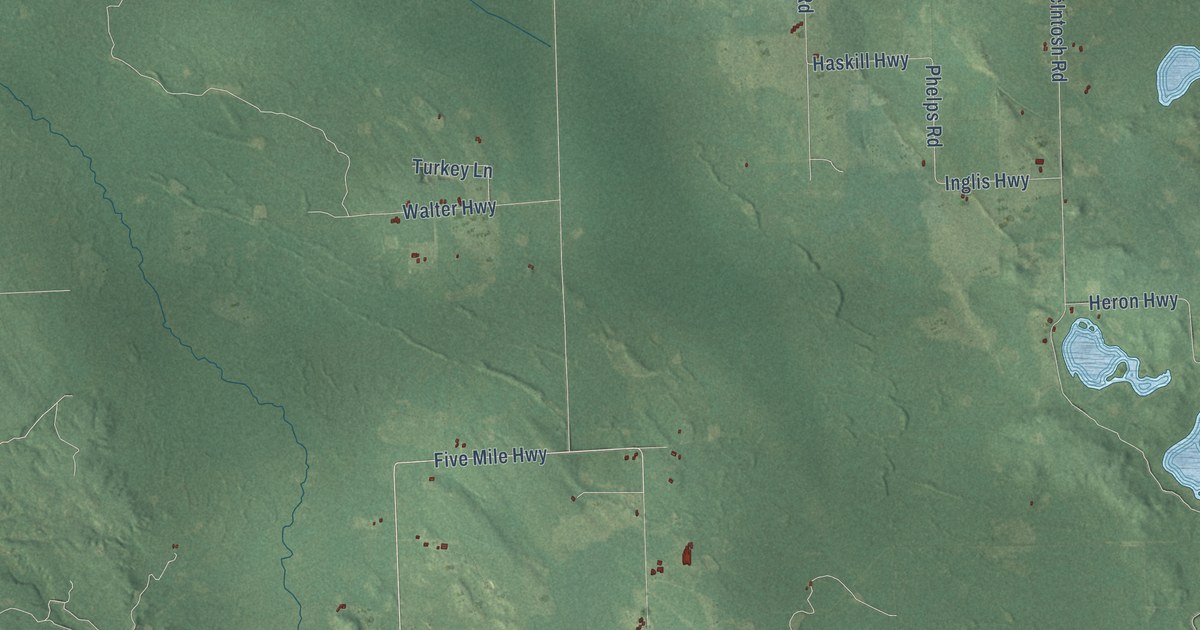
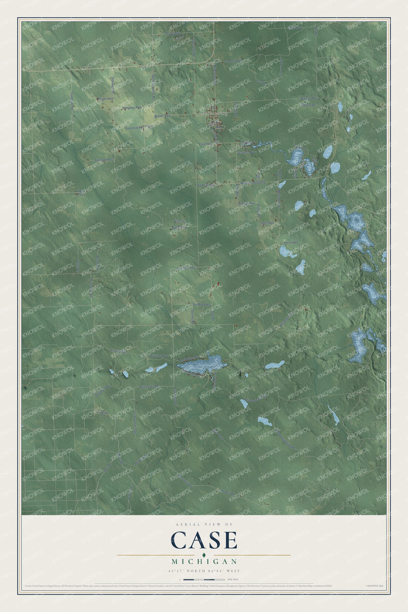
This beautifully detailed map of Case, Michigan was created in 2026 using aerial imagery combined with modern topographical, census, street and landmark data. It's a modern aerial view of Case in Presque Isle County, Michigan, that combines modern data with a vintage aesthetic. The roads feature printed names, and if you look closely you can find your exact house accurately shown in its correct location.
Explore an aerial view of Case, Michigan
On this map you'll find Millersburg, Rainy Lake Road, Five Mile Highway, Deer Road, Mertz Road, Pine Road, Bernard Road, Millersburg Road, Hubert Road, Aviation Road, Main Street, Branch Road, and more. Each red shape is a building, so zoom in on the preview and look for yours.
The Census Bureau counted 819 people here in 2020. The map prints the town name in its title panel, with the coordinates below it.
Take a closer look at the Case map
Names on this map
These names are printed on this map.
Places: Millersburg.
Streets and roads: Rainy Lake Road, Five Mile Highway, Deer Road, Mertz Road, Pine Road, Bernard Road, Millersburg Road, Hubert Road, Aviation Road, Main Street, Branch Road, South Ocqueoc Road.
More street names, A to Z
3 Mile Highway, Arkwood Highway, Aviation Highway, Barnhart Trail, Big Cut Highway, Big Cut Road, Comstock Road, Corriveau Road, Crawford Lane, Darga Road, Dempsey Highway, East Kelly Drive, East Shore Drive, Elm Street, Five Buck Road, Freel Highway, Freel Lane, Hannan Lane, Haskill Highway, Healy Hardwood Road, Heidrich Road, Heron Highway, Hill Road, Hoffmeyer Road, Inglis Highway, Kelly Drive, Kimball Road, Leaf Road, Luce Street, Maple Drive, McIntosh Road, Mc Intosh Road, North Shore Drive, Ocqueoc Road, Orcutt Highway, Phelps Road, Plains Highway, Rainbow Lake Road, Reiger Highway, River Street, Schnepp Road, Schuler Highway, Seitz Trail, Silver Creek Road, Six Mile Highway, Smith Road, Storms Road, Swan Road, Szymoniak Highway, Thompson Road, Tomahawk Road, Tonkey Highway, Trout Lane, Turkey Foot Trail, Turkey Lane, Walker Highway, Walter Highway, West County Road 638, West Shore Drive, Whitetail Way, Wild Cat Highway, Wright Road.
Created by KNOWOL in 2026. The buildings are small red shapes, the roads carry their printed names, and shaded relief shows the shape of the land. The title panel reads "AERIAL VIEW OF CASE, MICHIGAN" with 45°17' NORTH 84°04' WEST.
It suits a den, a classroom or a front hall, and it makes a gift for anyone with Case roots. Open the preview and find the block you know. See sizes and frames for the Case map.