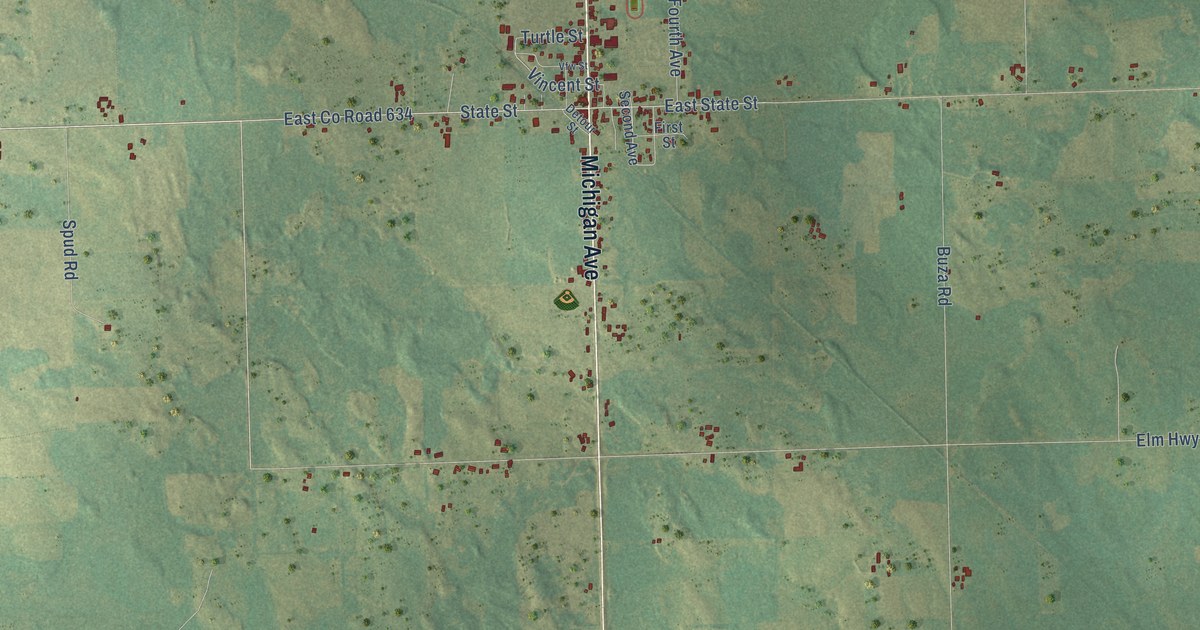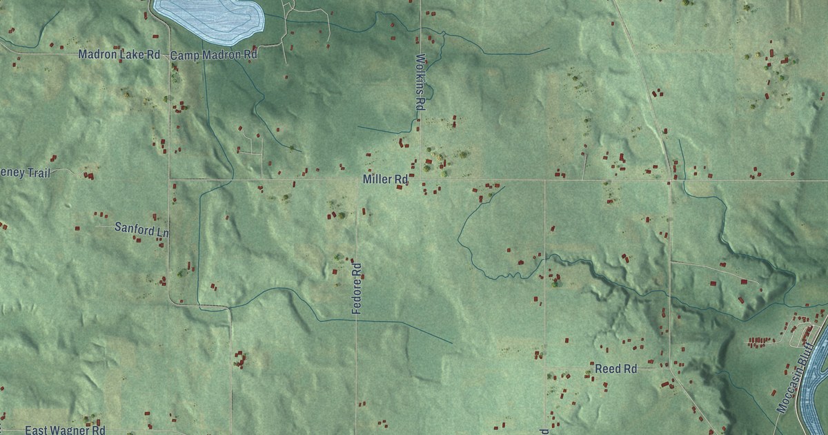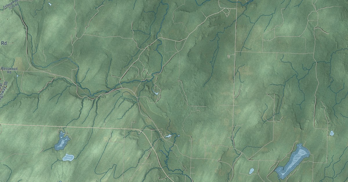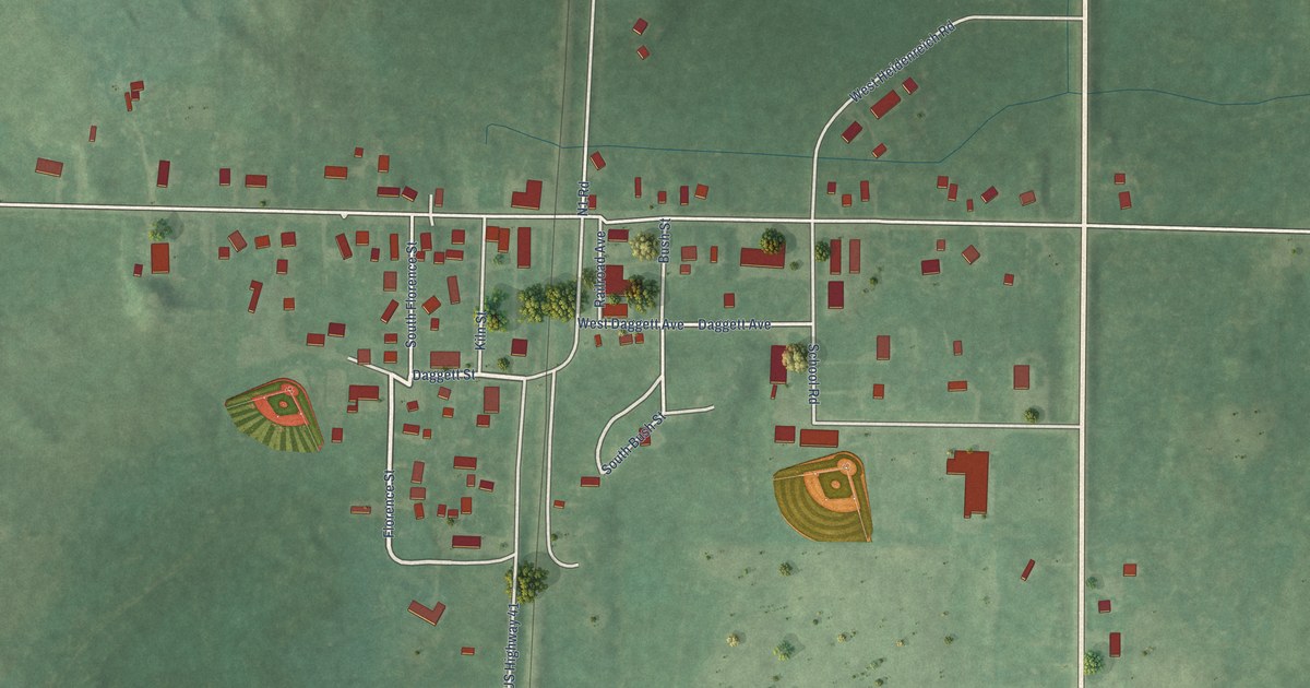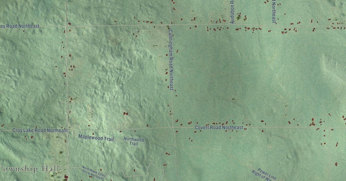
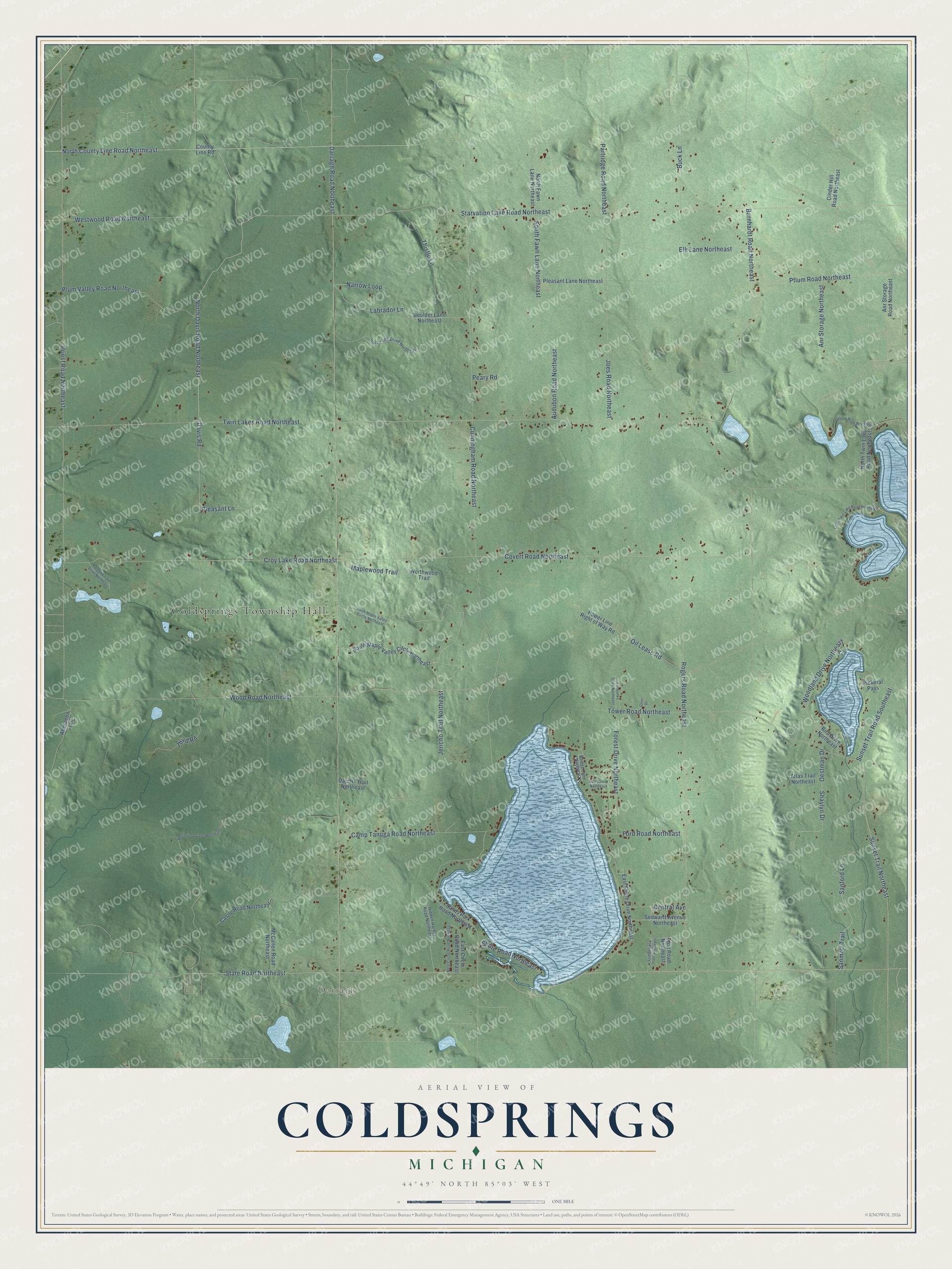
This beautifully detailed map of Coldsprings, Michigan was created in 2026 using aerial imagery combined with modern topographical, census, street and landmark data. It's a modern aerial view of Coldsprings in Kalkaska County, Michigan, that combines modern data with a vintage aesthetic. The roads feature printed names, and if you look closely you can find your exact house accurately shown in its correct location.
Explore an aerial view of Coldsprings, Michigan
On this map you'll find Coldsprings Township Hall, Darragh, North Davis Road Northeast, North County Line Road Northeast, State Road Northeast, Davis Road, Wood Road Northeast, Sanford Lane, Sanmott Trail, Partridge Road Northeast, Twin Lakes Road Northeast, Darragh Road Northeast, and more. Each red shape is a building, so zoom in on the preview and look for yours.
Every town has a first chapter, and Coldsprings is no exception. The Traverse Region puts it this way: "The first settler in the town of Cold Springs was David Horsburg, who came from Ionia County in 1871, and settled on Section 18."
The Census Bureau counted 1,551 people here in 2020.
Take a closer look at the Coldsprings map
Names on this map
These names are printed on this map.
Places: Coldsprings Township Hall and Darragh.
Streets and roads: North Davis Road Northeast, North County Line Road Northeast, State Road Northeast, Davis Road, Wood Road Northeast, Sanford Lane, Sanmott Trail, Partridge Road Northeast, Twin Lakes Road Northeast, Darragh Road Northeast, Starvation Lake Road Northeast, Cunningham Road Northeast.
More street names, A to Z
Aberdeen Trail, Anr Storage Northeast, Anr Storage Road Northeast, Atlas Trail Northeast, Audubon Road Northeast, Barnhardt Road Northeast, Boulder Lane Northeast, Bridge Lane Northeast, Buck Lane, Camp Tanuga Road Northeast, Castle Road Northeast, Central Avenue, Cinder Hill Road Northeast, County Line Road, Covert Road Northeast, Coxs Drive, Croy Lake Road Northeast, Dapoki Trail Northeast, East Circle Road Northeast, East Shore Drive Northeast, Elk Lane Northeast, Fairbanks Drive Northeast, Ford Road Northeast, Forest Drive Northeast, Hidden Harbor Road Northeast, Hurricane Drive Northeast, Jericho Trail Northeast, Joes Road Northeast, Labrador Lane, Little Twin Lake Road Northeast, Lumberjack Trail Northeast, Maplewood Trail, McCullen Road Northeast, Narrow Loop, North Fawn Lane Northeast, North Maple Valley Circle Northeast, North Twin Lake Road Northeast, Northwood Lane Northeast, Northwood Trail, Oak Street Northeast, Oestman Drive, Oil Lease Road, Oxbow Road Northeast, Peary Road, Pflum Road Northeast, Pickeral Pass, Pleasant Lane, Pleasant Lane Northeast, Plum Valley Road Northeast, Power Line Right of Way Road, Priest Road Northeast, Rainbow Lake Drive Northeast, Rita Drive Northeast, Rogers Road Northeast, Sands Park Road Northeast, Sedwarft Avenue Northeast, Shaylyn Drive, Shore Road Northeast, South Fawn Lane Northeast, South Maple Valley Circle Northeast, Sunset Trail Northeast, Sunset Trail Road Southeast, Third Road, Thistle Lane, Toat Road Northeast, Tower Road Northeast, West Circle Road Northeast, Westwood Road Northeast, Woodland Drive Northeast.
Created by KNOWOL in 2026. The buildings are small red shapes, the roads carry their printed names, and shaded relief shows the shape of the land. The title panel reads "AERIAL VIEW OF COLDSPRINGS, MICHIGAN" with 44°49' NORTH 85°03' WEST.
Hang it in the hallway, the office or the cabin, or give it to someone who left Coldsprings and still calls it home. Open the preview and look for a street you know. See sizes and frames for the Coldsprings map.