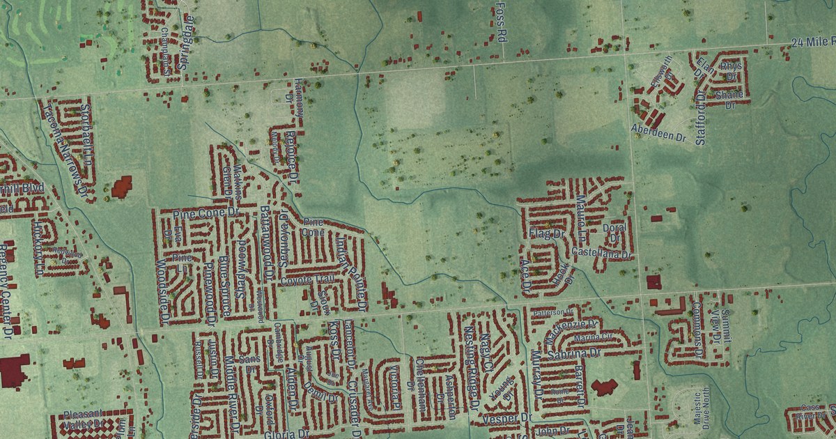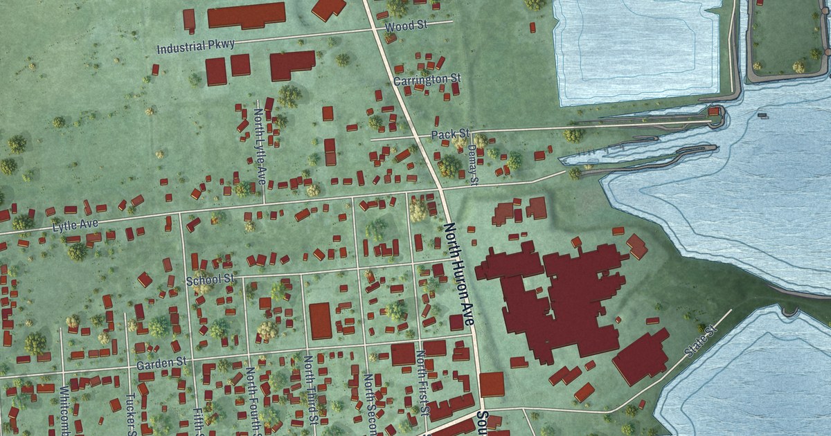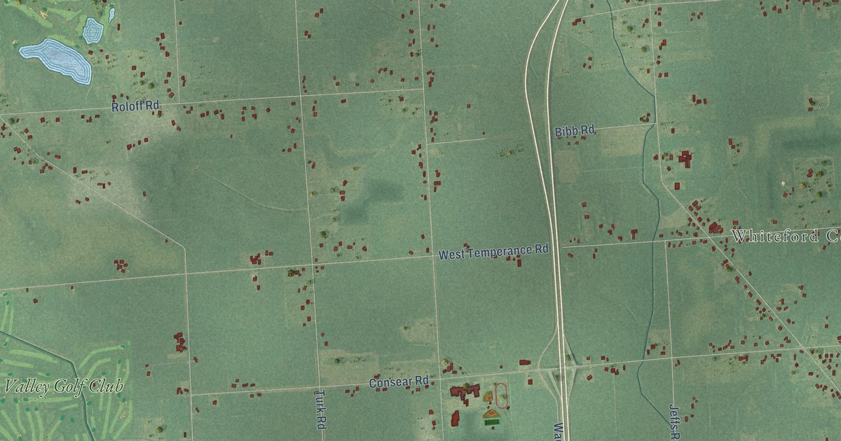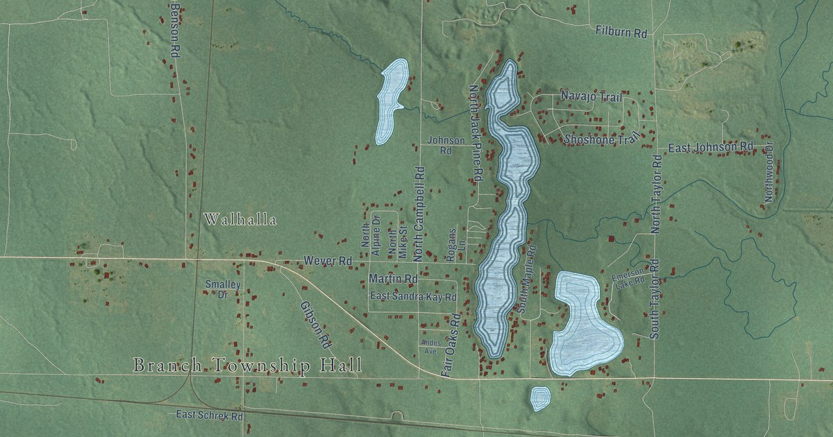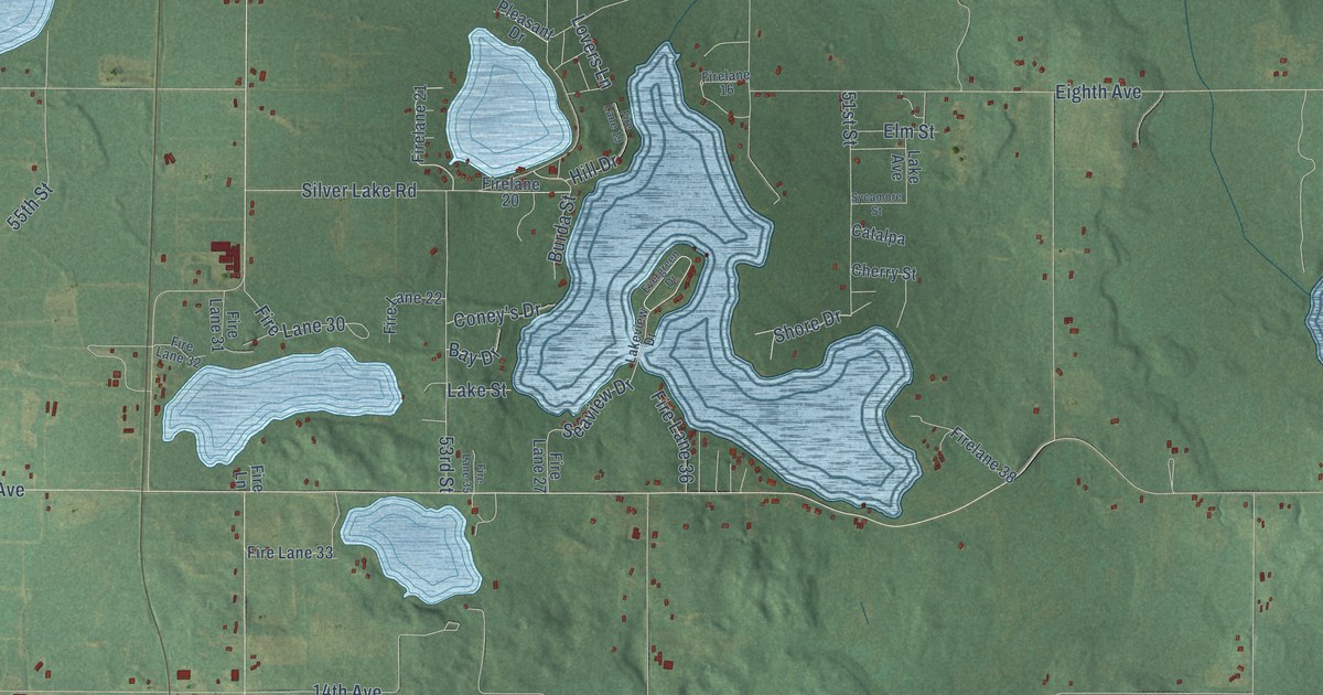
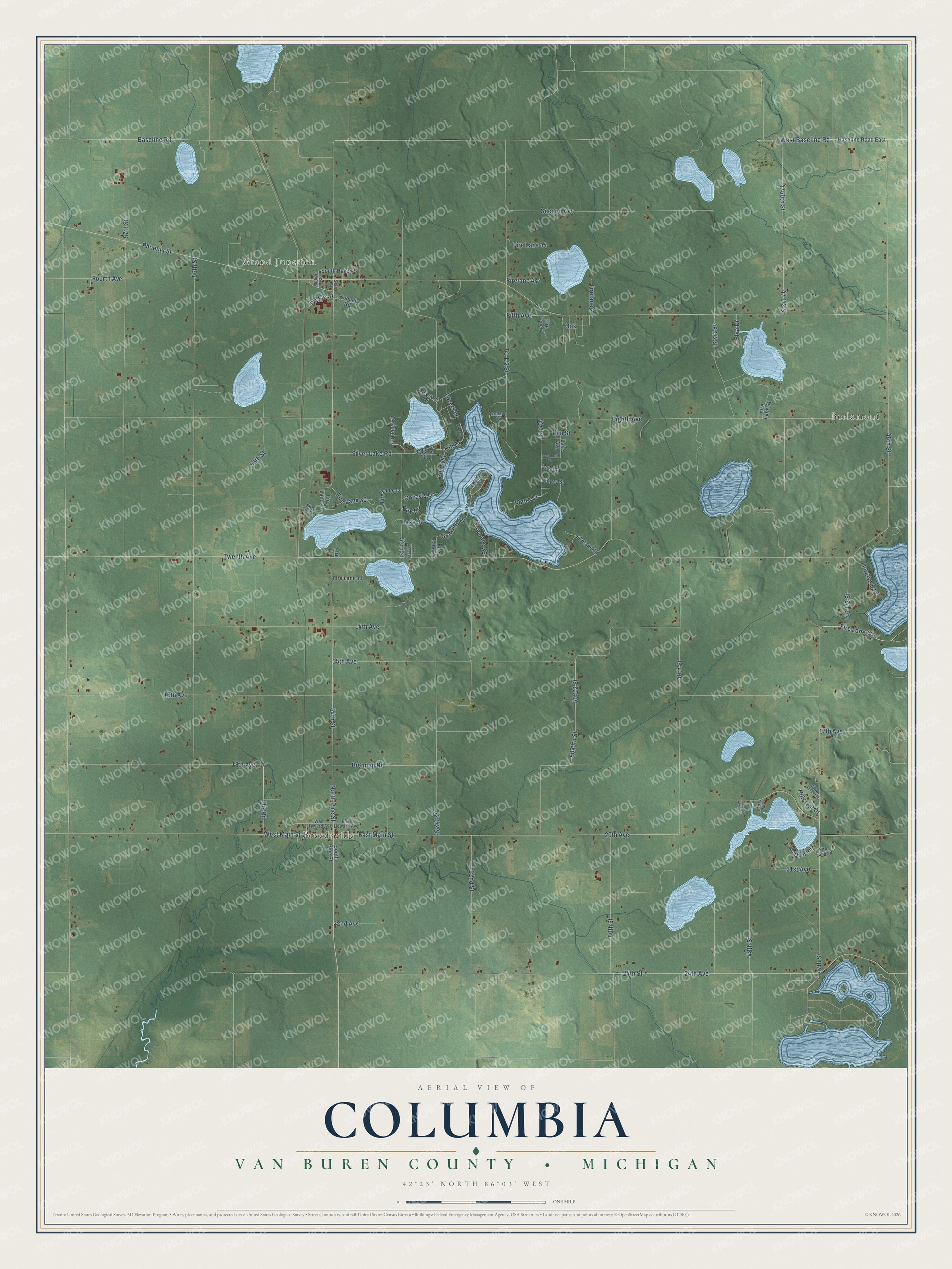
This beautifully detailed map of Columbia, Michigan was created in 2026 using aerial imagery combined with modern topographical, census, street and landmark data. It's a modern aerial view of Columbia in Van Buren County, Michigan, that combines modern data with a vintage aesthetic. The roads feature printed names, and if you look closely you can find your exact house accurately shown in its correct location.
Explore an aerial view of Columbia, Michigan
On this map you'll find Breedsville, Grand Junction, Berlamont, East Main Street, North Pine Street, West Main Street, Dix Road, 47th Street, 20th Avenue, 54th Street, 55th Street, 14th Avenue, and more. Each red shape is a building, so zoom in on the preview and look for yours.
Every town has a first chapter, and Columbia is no exception. The History of Berrien and Van Buren Counties puts it this way: "In May, 1835, Rev. Jonathan N. Hinckley and Barnard M. Howard, both from Monroe Co., N. Y., visited the region now known as Columbia township, then unorganized territory attached to Cass County, and purchased several tracts of land in the immediate vicinity of the present village of Breedsville."
The Census Bureau counted 2,546 people here in 2020.
Take a closer look at the Columbia map
Names on this map
These names are printed on this map.
Places: Breedsville, Grand Junction and Berlamont.
Streets and roads: East Main Street, North Pine Street, West Main Street, Dix Road, 47th Street, 20th Avenue, 54th Street, 55th Street, 14th Avenue, Fire Lane 40, Baseline Road, Oak.
More street names, A to Z
15th Avenue, 16th Avenue, 17th Avenue, 18th Avenue, 21st Avenue, 22nd Avenue, 24th Avenue, 24th Street, 46th Street, 48th Street, 49th Street, 50th Street, 51st Street, 52nd Street, 53rd Street, 56th Street, 57th Street, 4750th Street, 5050th Street, Baseline Road East, Bay Drive, Brennan Road, Burda Street, Catalpa, Cherry Street, Coney's Drive, Dobben Road, East Howard Avenue, Eighth Avenue, Elm Street, Elva Drive, Evergreen Drive, Fifth Avenue, Fire Lane, Firelane 2, Fire Lane 7, Firelane 16, Fire Lane 19, Firelane 20, Firelane 21, Fire Lane 22, Fire Lane 27, Fire Lane 30, Fire Lane 31, Fire Lane 32, Fire Lane 33, Fire Lane 35, Fire Lane 36, Firelane 38, Firelane 39, Fire Lane 41, Firelane 43, Fire Lane 44, Fire Lane 45, Fire Lane 46, Fire Lane 49, Fourth Avenue, Hillcrest Drive, Hill Drive, Lake Avenue, Lake Street, Lakeview Drive, Lovers Lane, Merry Road, Middle Street, Phoenix Street, Pickle Street, Pleasant Drive, Seaview Drive, Second Avenue, Shore Drive, Silver Lake Road, South Haven Street, South Pine Street, State Street, Summit Road, Sycamore Street, Twelfth Avenue, West Baseline Road, West Howard Avenue.
See it on a wall
The Columbia, Van Buren County map as a framed print. Swipe for more.


Created by KNOWOL in 2026. The buildings are small red shapes, the roads carry their printed names, and shaded relief shows the shape of the land. The title panel reads "AERIAL VIEW OF COLUMBIA, VAN BUREN COUNTY • MICHIGAN" with 42°23' NORTH 86°03' WEST.
Hang it in the hallway, the office or the cabin, or give it to someone who left Columbia and still calls it home. Open the preview and look for a street you know. See sizes and frames for the Columbia, Van Buren County map.