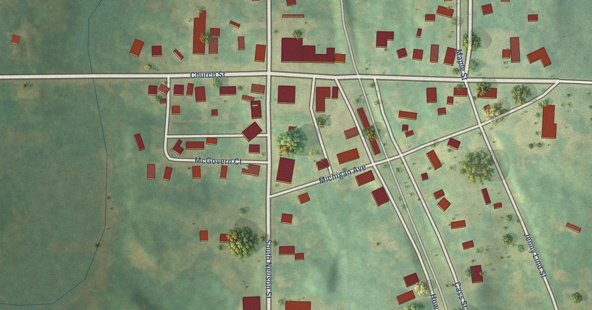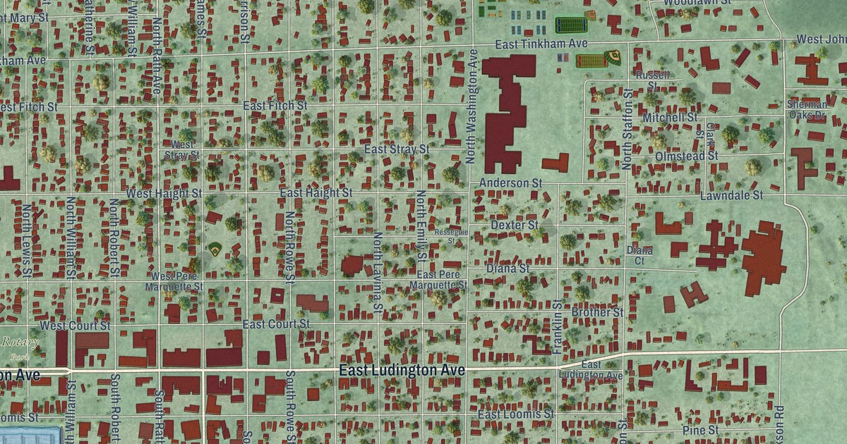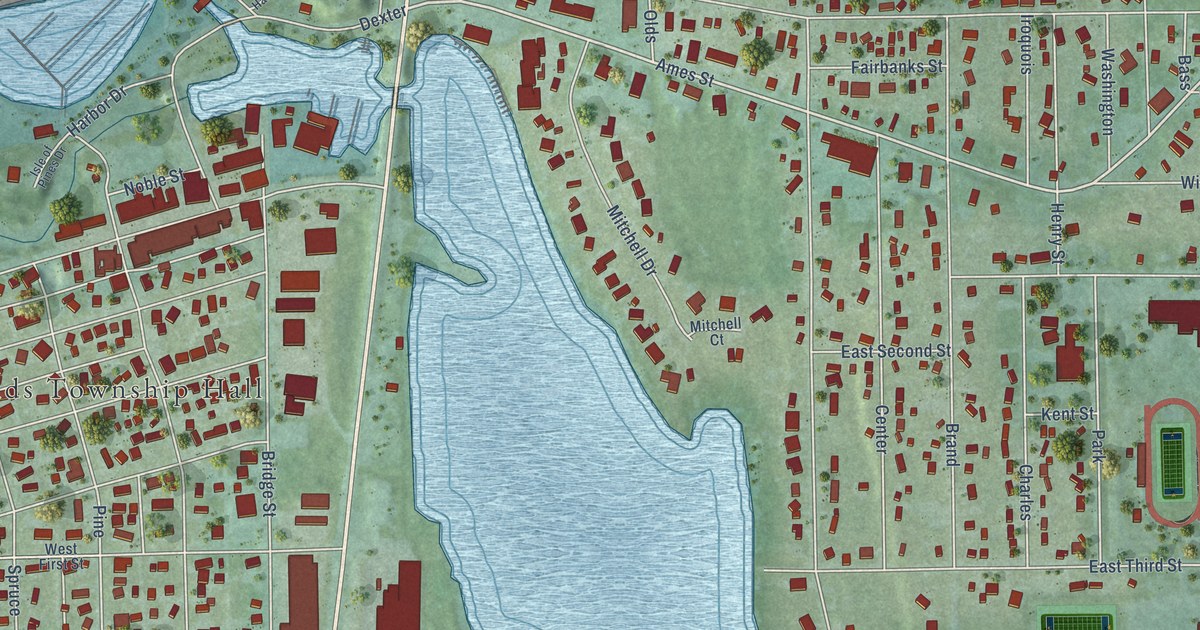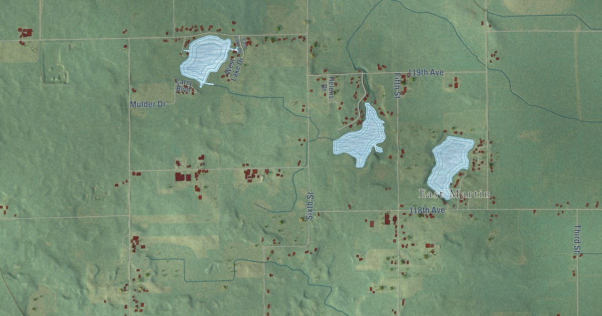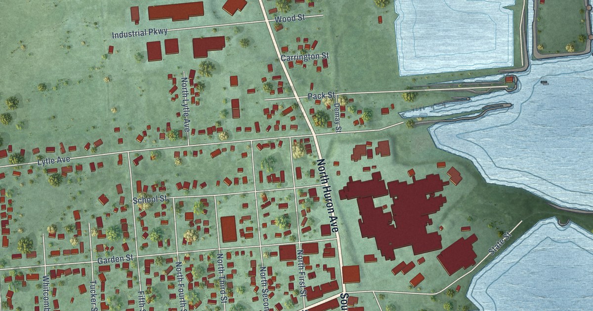
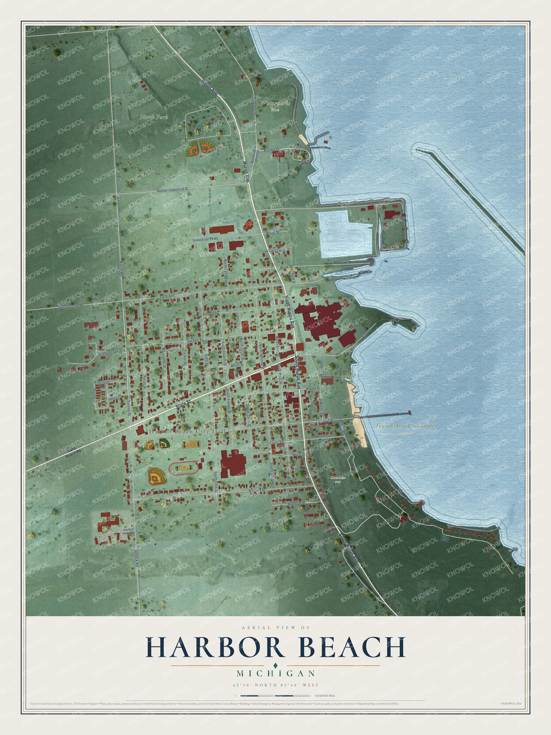
This beautifully detailed map of Harbor Beach, Michigan was created in 2026 using aerial imagery combined with modern topographical, census, street and landmark data. It's a modern aerial view of Harbor Beach in Huron County, Michigan, that combines modern data with a vintage aesthetic. The roads feature printed names, and if you look closely you can find your exact house accurately shown in its correct location.
Explore an aerial view of Harbor Beach, Michigan
On this map you'll find Harbor Beach City Hall, North Park, Thumb Area Underwater Preserve, Waterworks Park, Davidson Park, State Street, North Huron Avenue, South Huron Avenue, Huron Avenue, Nelson Street, Ritchie Drive, South Third Street, and more. Each red shape is a building, so zoom in on the preview and look for yours.
Every town has a first chapter, and Harbor Beach is no exception. The Pioneer History of Huron County puts it this way: "The name gave the impression that the general character of the soil was sandy and therefore valueless, so in later years the village was renamed Harbor Beach."
Harbor Beach is a city in Huron County. The Census Bureau counted 1,604 people here in 2020.
Take a closer look at the Harbor Beach map
Names on this map
These names are printed on this map.
Places: Harbor Beach City Hall, North Park, Thumb Area Underwater Preserve, Waterworks Park and Davidson Park.
Streets and roads: State Street, North Huron Avenue, South Huron Avenue, Huron Avenue, Nelson Street, Ritchie Drive, South Third Street, Hunter Drive, Pierce Road, Resort Road, Trescott Street, Lytle Avenue.
More street names, A to Z
Bartlett Street, Broad Street, Carrington Street, Court Street, Demay Street, Fairway Drive, Ferris Street, Fifth Street, Garden Street, Harbor House Court, Hunter Industrial Drive, Industrial Parkway, North First Street, North Fourth Street, North Lake Shore Drive, North Lytle Avenue, North Second Street, North Third Street, Old Shore Drive, Pack Street, Pearl Street, Redman Street, Sand Beach Road, Schock Road, School Street, Section Line Road, South Fifth Street, South First Street, South Fourth Street, South Second Street, Stoneybrook Drive, Tanton Drive, Townley Drive, Tucker Street, Ward Street, Water Street, Whitcomb Street, Wood Street.
Created by KNOWOL in 2026. The buildings are small red shapes, the roads carry their printed names, and shaded relief shows the shape of the land. The title panel reads "AERIAL VIEW OF HARBOR BEACH, MICHIGAN" with 43°50' NORTH 82°40' WEST.
Hang it in the hallway, the office or the cabin, or give it to someone who left Harbor Beach and still calls it home. Open the preview and look for a street you know. See sizes and frames for the Harbor Beach map.