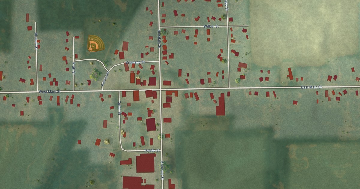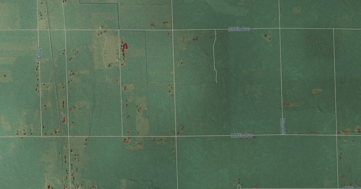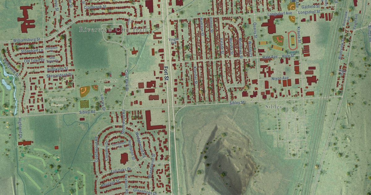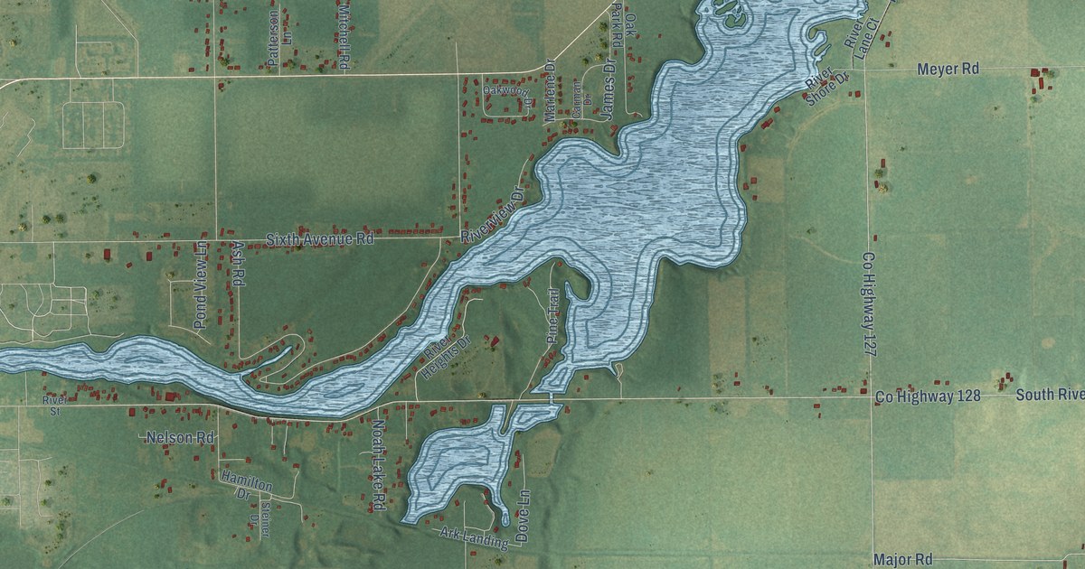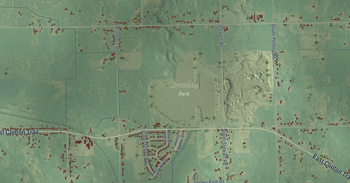
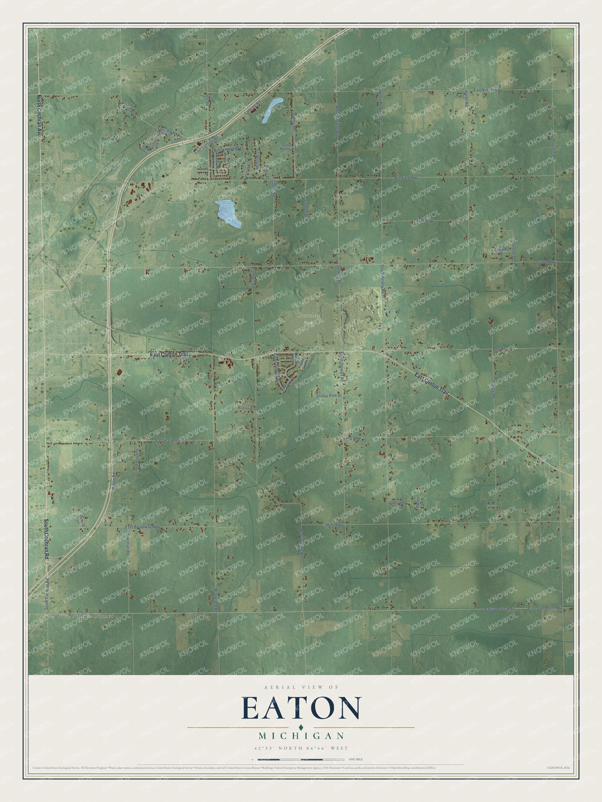
This beautifully detailed map of Eaton, Michigan was created in 2026 using aerial imagery combined with modern topographical, census, street and landmark data. It's a modern aerial view of Eaton in Eaton County, Michigan, that combines modern data with a vintage aesthetic. The roads feature printed names, and if you look closely you can find your exact house accurately shown in its correct location.
Explore an aerial view of Eaton, Michigan
On this map you'll find Crandell Park, Five Points Corner, North Cochran Avenue, East Clinton Trail, South Cochran Road, Lansing Road, East 5 Point Highway, South Stewart Road, Stewart Road, Royston Road, East Five Point Highway, Island Highway, and more. Each red shape is a building, so zoom in on the preview and look for yours.
Here is a piece of Eaton history, in the words of the record. The Michigan History Center puts it this way: "Luren D. Dickinson, governor of Michigan from 1939 to 1940, taught Sunday school here both before and during his tenure as governor."
The Census Bureau counted 4,007 people here in 2020.
Take a closer look at the Eaton map
Names on this map
These names are printed on this map.
Places: Crandell Park and Five Points Corner.
Streets and roads: North Cochran Avenue, East Clinton Trail, South Cochran Road, Lansing Road, East 5 Point Highway, South Stewart Road, Stewart Road, Royston Road, East Five Point Highway, Island Highway, Packard Highway, East Kinsel Highway.
More street names, A to Z
12 Oaks Drive, Ackley Road, Andre Drive, Bell Highway, Benjamin Drive, Benton Road, Brentwood Drive, Brookfield Road, Brookmead Way, Casler Road, Dakota Drive, East Broadway Highway, East Kalamo Highway, East Lansing Road, Eaton Green Road, Eaton Woods Drive, Fairview Highway, Flanders Road, Ford Highway, Gidner Road, Guernsey Drive, Hartel Road, Huber Ponds Drive, Jaydonna Drive, Jenks Highway, Joshua Drive, Kimberly Drive, Kristen Way, Long Highway, Lynwood Drive, Mills Highway, Narcisse Lane, Narrow Lake Road, Nicholas Lane, North Perkey Road, North Stewart Road, Otto Road, Parish Highway, Russell Lea, Russell Lea Drive, Sandlot Drive, Sherman Road, Snowy Pine Drive, South Perkey Road, Tamarack Trail, Thomas Drive, Tubbs Road, Victoria Lane, Winding Way.
Created by KNOWOL in 2026. The buildings are small red shapes, the roads carry their printed names, and shaded relief shows the shape of the land. The title panel reads "AERIAL VIEW OF EATON, MICHIGAN" with 42°33' NORTH 84°46' WEST.
It suits a den, a classroom or a front hall, and it makes a gift for anyone with Eaton roots. Open the preview and find the block you know. See sizes and frames for the Eaton map.