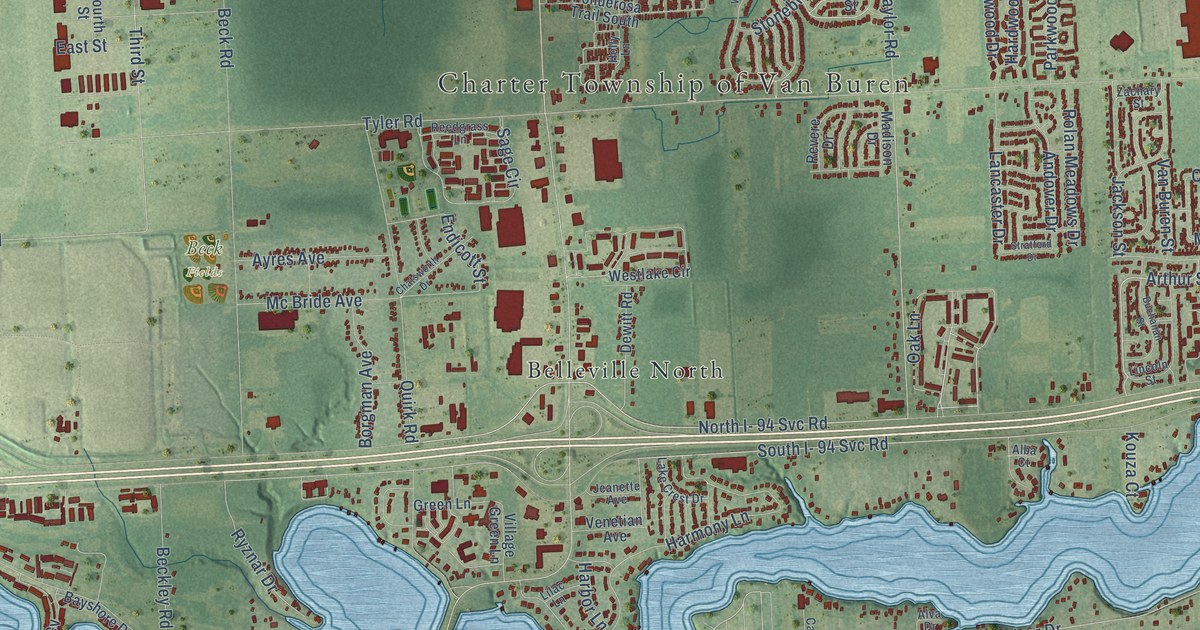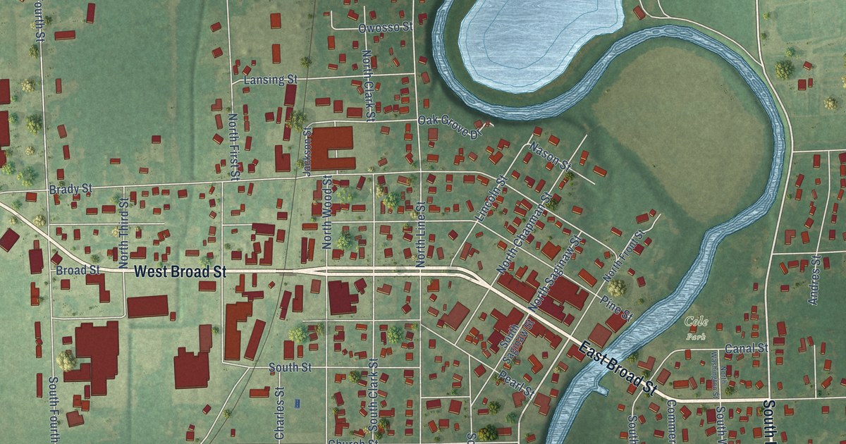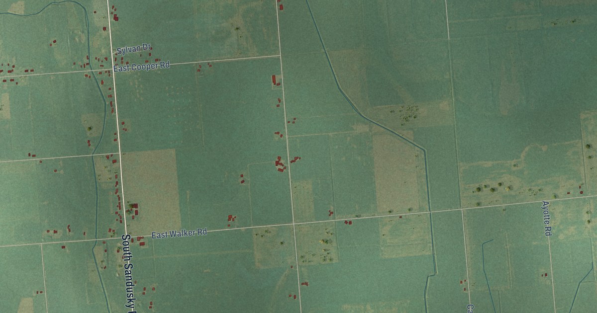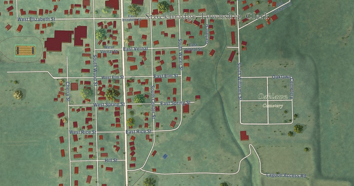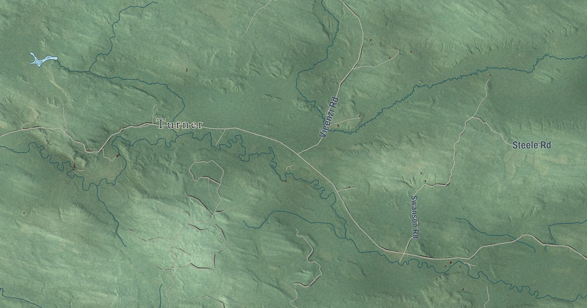
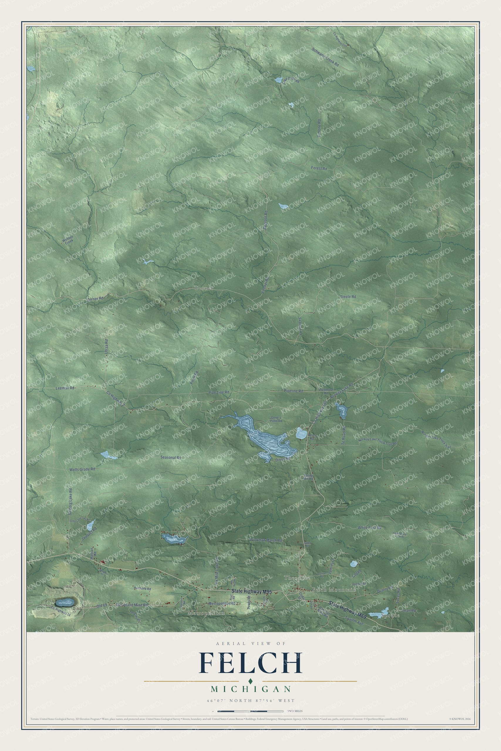
This beautifully detailed map of Felch, Michigan was created in 2026 using aerial imagery combined with modern topographical, census, street and landmark data. It's a modern aerial view of Felch in Dickinson County, Michigan, that combines modern data with a vintage aesthetic. The roads feature printed names, and if you look closely you can find your exact house accurately shown in its correct location.
Explore an aerial view of Felch, Michigan
On this map you'll find Spruce, Felch Mountain, Theodore, Metropolitan, Turner, State Highway M69, State Highway M95, Co Highway 581, Groveland Mine Road, Old 69, Norway Lake Road, Six Mile Lake Road, and more. Each red shape is a building, so zoom in on the preview and look for yours.
Every town has a first chapter, and Felch is no exception. The Felch Township Master Plan puts it this way: "Alpheus Felch was elected governor of Michigan in 1846 and most histories state that the town was named after him."
The Census Bureau counted 687 people here in 2020.
Take a closer look at the Felch map
Names on this map
These names are printed on this map.
Places: Spruce, Felch Mountain, Theodore, Metropolitan and Turner.
Streets and roads: State Highway M69, State Highway M95, County Highway 581, Groveland Mine Road, Old 69, Norway Lake Road, Six Mile Lake Road, Coppo, Turner Road, County Highway 2, Leeman Road, Seasonal Road.
More street names, A to Z
Aimone Road, Calumet Mine Road, Cedar Street, Church Road, Coppo Road, County Highway 11, County Highway Coo, Cow Pass Road, Degroot Road, Dixon Road, Forest Road, Forstrom Road, Gales Lane, Gene's Pond Road, Hansons Road, Harders Road, Jauquct Road, Lake Oneil Road, Lerza Road, Lower Skunk Creek Road, Lucas Road, Mattson Road, Metropolitan Road, Norway Lake Truck Trail, Norway Lake Truck Trail Road, Oman Road, Pete's Road, Pipe Line Road, Pipeline Road, Pirlot Road, Predmore Road, Quarry Road, Schwartz Creek Road, Solberg Four Lake Road, Solberg Lake Road, Spring Hill Road, Steele Road, Sturgeon Lane, Swanson Road, Te Road Road, Toby Lake Road, Tower Road, Trail Road, Twelfth Avenue, Valeries Lane, Van Lear Drive, Vicenzi Road, Webber Creek, Wells Grade Road, White Post Road, Wickman Marsh Road.
Created by KNOWOL in 2026. The buildings are small red shapes, the roads carry their printed names, and shaded relief shows the shape of the land. The title panel reads "AERIAL VIEW OF FELCH, MICHIGAN" with 46°07' NORTH 87°54' WEST.
Hang it in the hallway, the office or the cabin, or give it to someone who left Felch and still calls it home. Open the preview and look for a street you know. See sizes and frames for the Felch map.