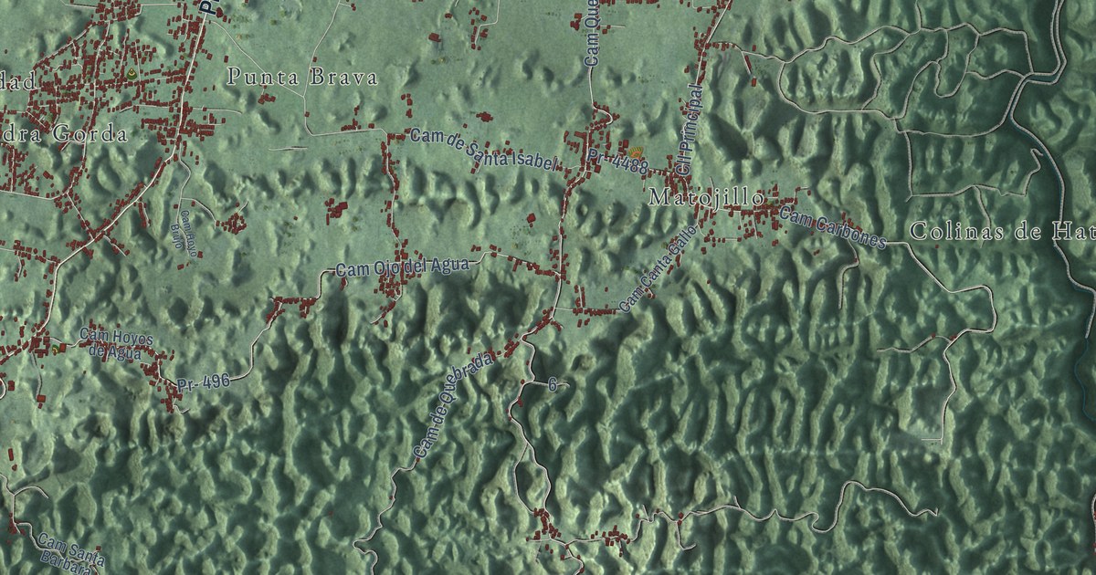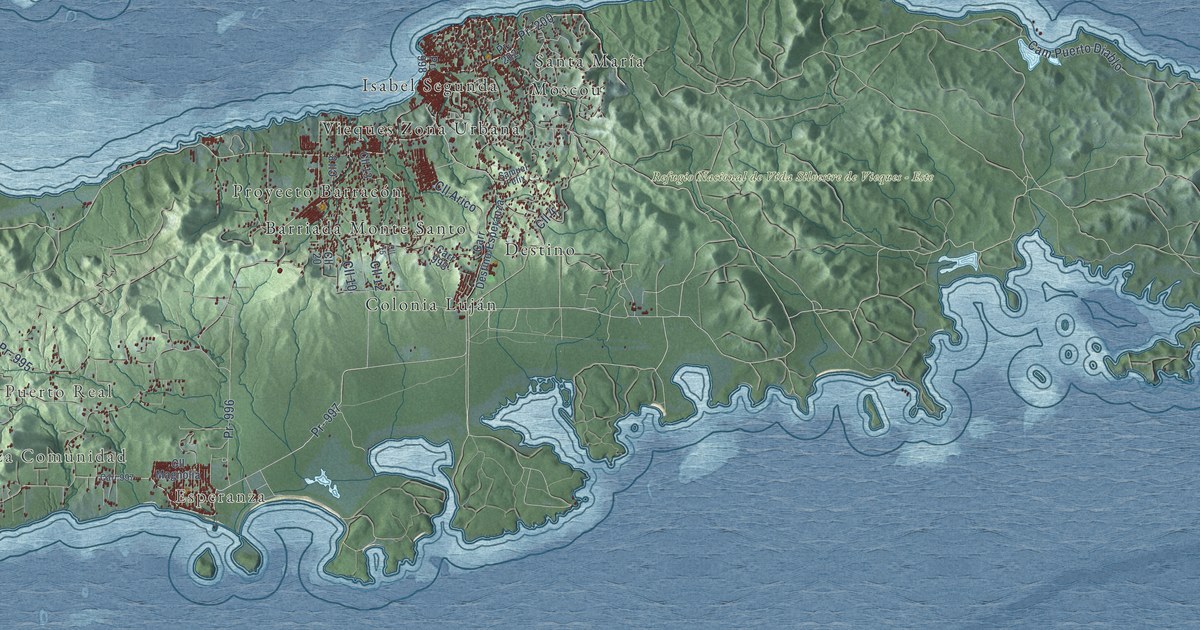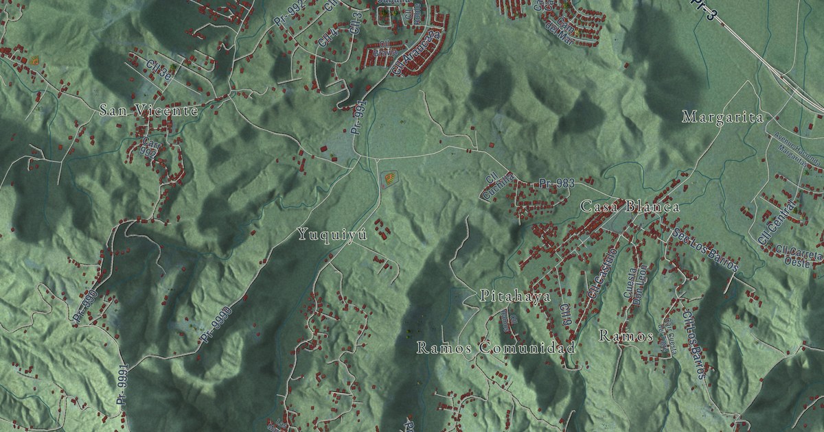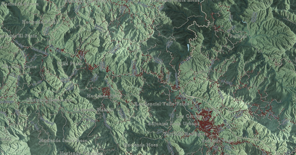
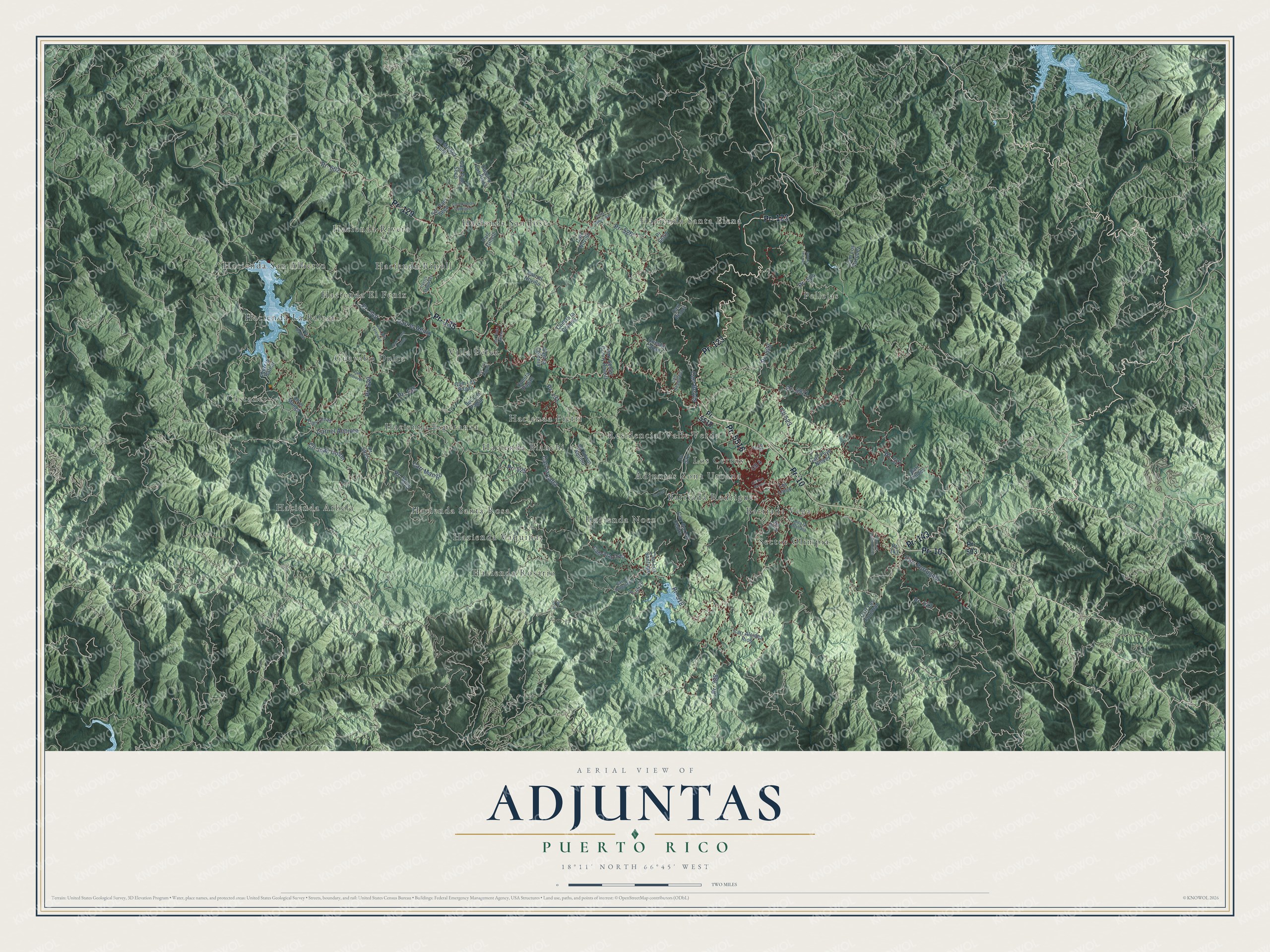
This beautifully detailed map of Adjuntas, Puerto Rico was created in 2026 using aerial imagery combined with modern topographical, census, street and landmark data. It's a modern aerial view of the municipio of Adjuntas, Puerto Rico, that combines modern data with a vintage aesthetic. The roads feature printed names, and if you look closely you can find your exact house accurately shown in its correct location.
Explore an aerial view of Adjuntas, Puerto Rico
On this map you'll find Adjuntas Zona Urbana, Barriada Rodriguez, Barriada Vega, Castañer, Guayabo Dulce, Hacienda Arbela, Hacienda Bianchi, Hacienda El Fénix, Hacienda Esperanza, Hacienda La Balear, Hacienda Noez, Hacienda Pietri, and more. Each red shape is a building, so zoom in on the preview and look for yours.
Here is a piece of Adjuntas history, in the words of the record. The Hijos de Coamo Puerto Rico puts it this way: "In the mid-19th century, Adjuntas welcomed immigrants from the Mediterranean islands of Corsica and Majorca, many of whom established coffee plantations."
Adjuntas is one of the 78 municipios of Puerto Rico. The Census Bureau counted 18,020 people here in 2020.
Take a closer look at the Adjuntas map
Names on this map
These names are printed on this map.
Places: Adjuntas Zona Urbana, Barriada Rodriguez, Barriada Vega, Castañer, Guayabo Dulce, Hacienda Arbela, Hacienda Bianchi, Hacienda El Fénix, Hacienda Esperanza, Hacienda La Balear, Hacienda Noez, Hacienda Pietri, Hacienda Ripoll, Hacienda Rivera, Hacienda Rosario, Hacienda San Alberto, Hacienda San José, Hacienda Santa Elena, Hacienda Santa Rosa, Hacienda Vaquiñas, Los Cerros, Pellejas, Residencial Valle Verde, Sector Olimpia and Villa Pérez.
Streets and roads: Pr- 123, Pr- 5516, Pr- 143, Pr- 10, Pr- 135, Pr- 129, Pr- 518, Carr Belvis, Pr- 523, Pr- 521, Cll Juan Colon, Pr- 526.
More street names, A to Z
Bda la Olimpia, Bo Garzas, Cam Adrover, Cam Damian Rodriguez, Camino Los Plaza, Cam Juan Ortiz, Cam la Colonia, Cam Los Pagán, Cam Los Vazquez, Cam Mickey Such, Cam Palo Seco, Cam Sepúlveda, Carr Alcides Rios, Carr Belurs, Carr el Achiote, Carr el Aénix, Carr el Novillo, Carr el Pulgatorio, Carr Garzas Centro, Carr la Balear, Carr Las Cruces, Carr la Zafra, Carr Llinas, Carr Los Condominios, Carr Los Foremán, Carr Los Santiago, Carr Mango, Carr Novillo, Carr Portuguéz, Carr Sector Donny Riutort, Carr Toma Santa, Carr Valdes, Carr Yuyo Nieves, Cll 4, Cll 5, Cll 523, Cll Edwin Aquino, Cll el Mango, Cll la Balear, Cll la Comunidad, Cll Rius Rivera, Cuesta Capaez, Cuesta la Colonia, Cuesta Pagan, Cyesta Magueyes, Los Lirios, Parc Gillete, Pr- 131, Pr- 388, Pr- 503, Pr- 522, Pr- 524, Pr- 525, Pr- 529, Pr- 548, Pr- 602, Pr- 3378, Pr- 5518, Pr- 5521, Pr- 5522, Pr -5525, Pr- 5525, Pr- 6603, Ruta 529 Extended, Sec Berio, Sec Los Pagán, Sec Los Zayas, Sec Palo Seco, Sec Titulo Quinto.
See it on a wall
The Adjuntas map as a framed print. Swipe for more.


Created by KNOWOL in 2026. The buildings are small red shapes, the roads carry their printed names, and shaded relief shows the shape of the land. The title panel reads "AERIAL VIEW OF ADJUNTAS, PUERTO RICO" with 18°11' NORTH 66°45' WEST.
It suits a den, a classroom or a front hall, and it makes a gift for anyone with Adjuntas roots. Open the preview and find the block you know. See sizes and frames for the Adjuntas map.