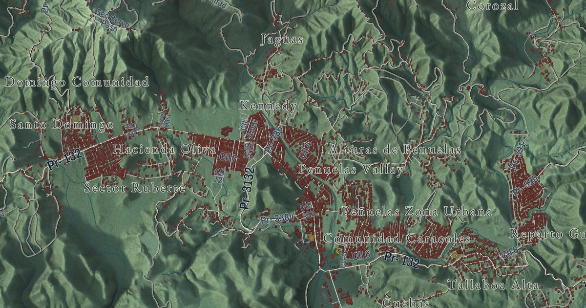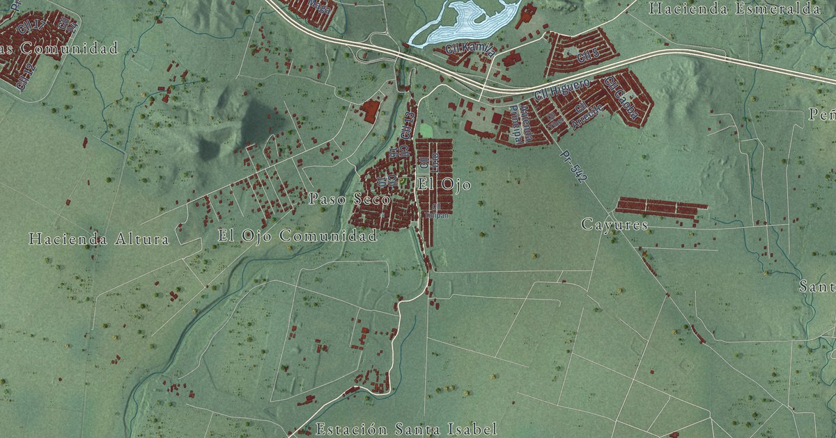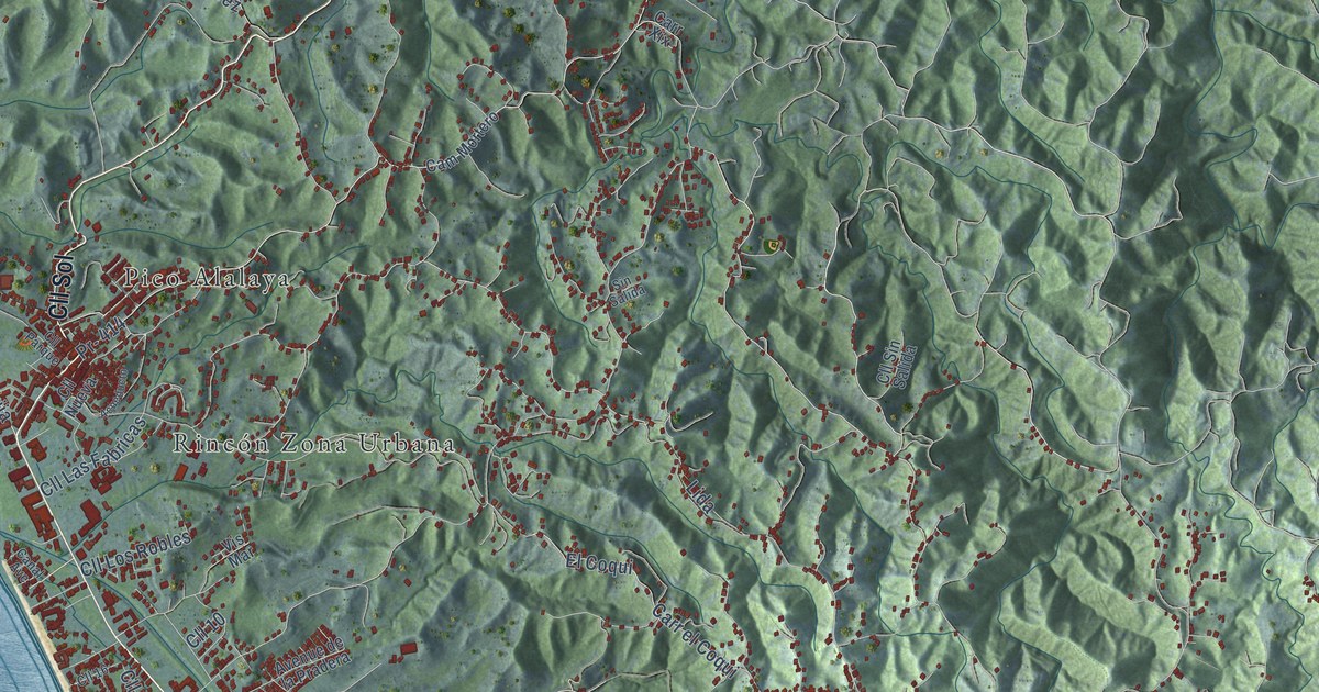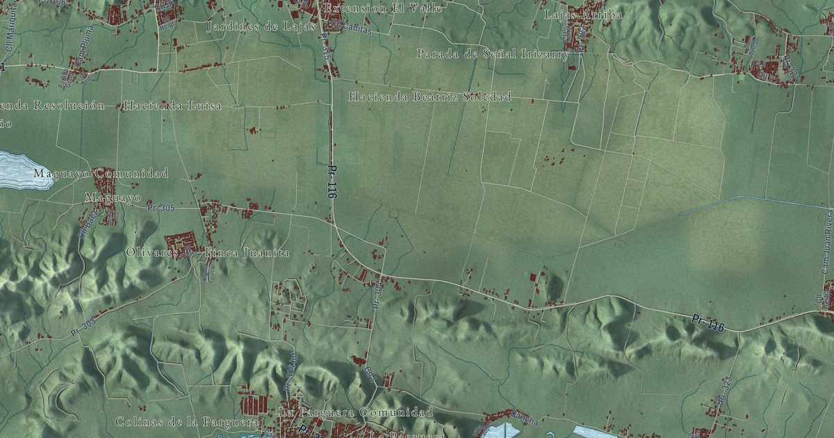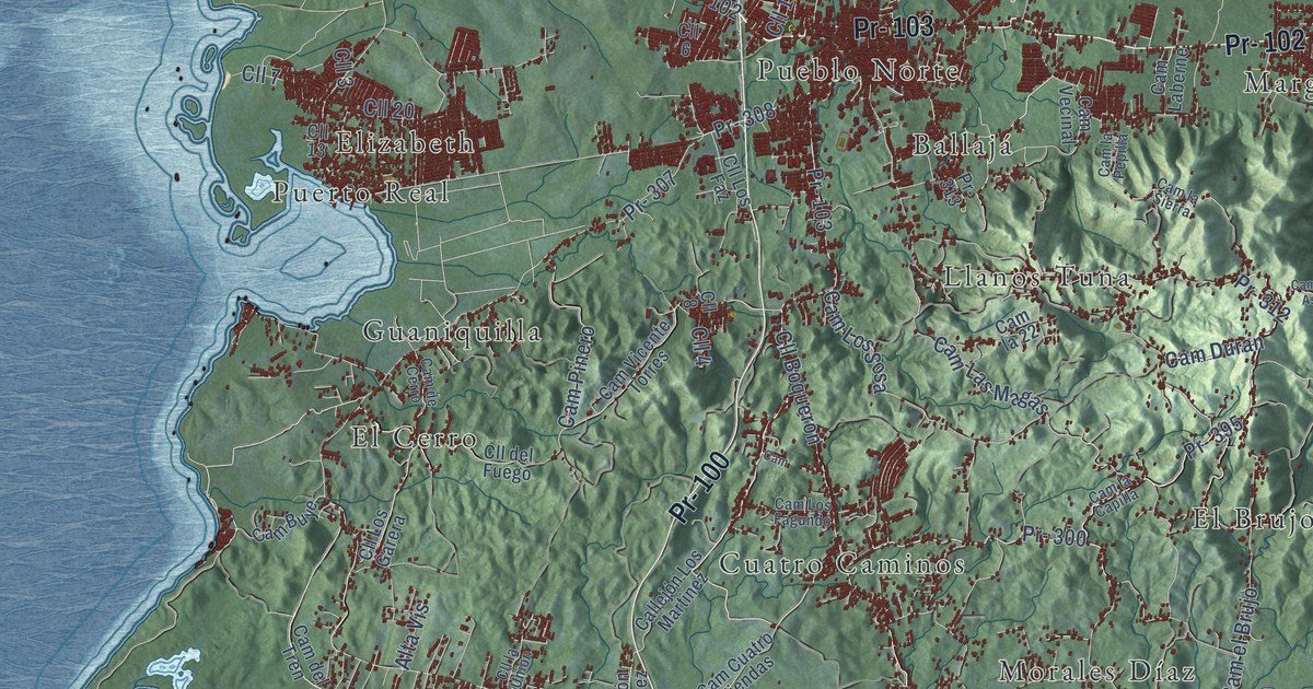
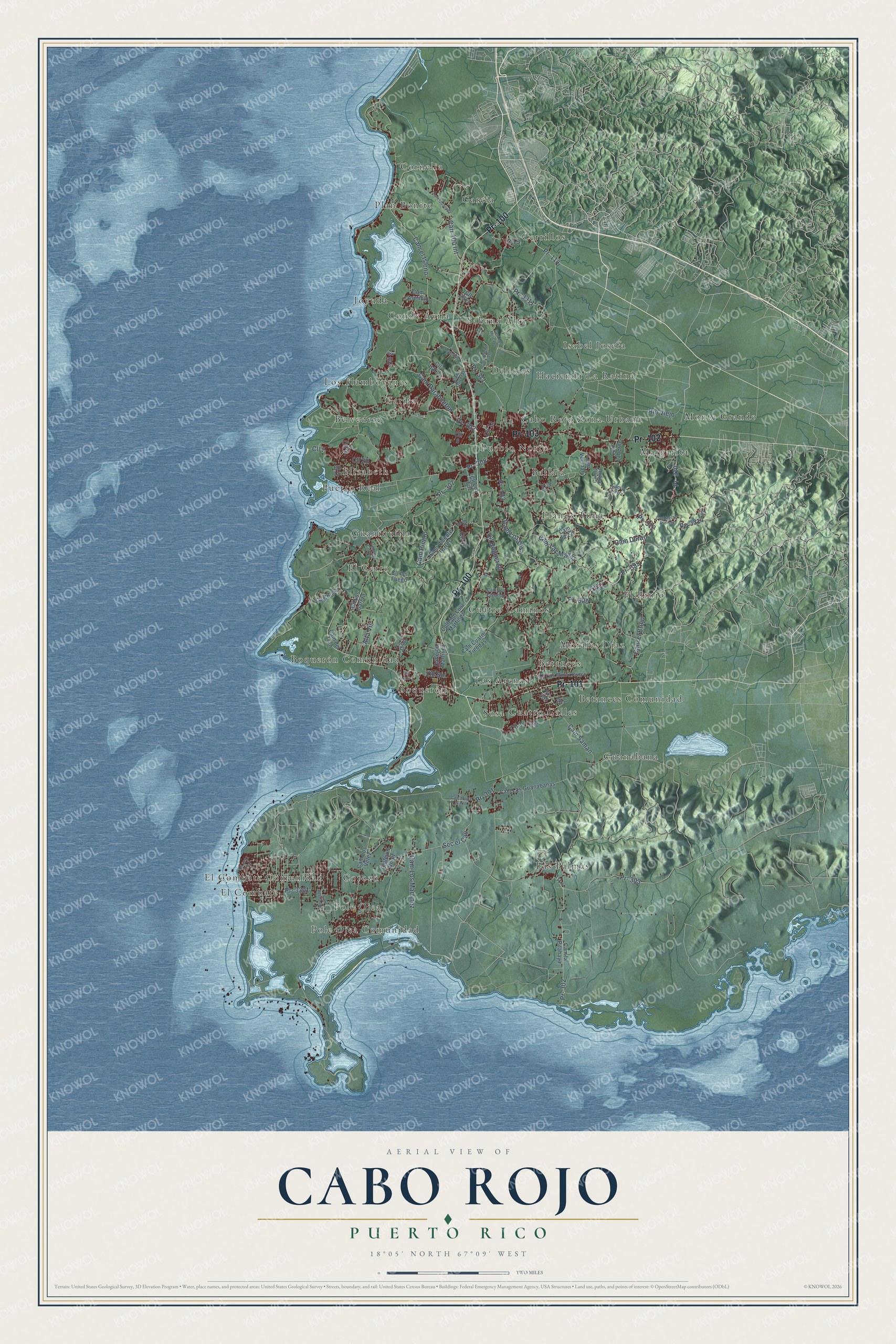
This beautifully detailed map of Cabo Rojo, Puerto Rico was created in 2026 using aerial imagery combined with modern topographical, census, street and landmark data. It's a modern aerial view of the municipio of Cabo Rojo, Puerto Rico, that combines modern data with a vintage aesthetic. The roads feature printed names, and if you look closely you can find your exact house accurately shown in its correct location.
Explore an aerial view of Cabo Rojo, Puerto Rico
On this map you'll find Ballajá, Belvedere, Betances, Betances Comunidad, Boquerón, Boquerón Comunidad, Cabo Rojo Zona Urbana, Cerrillos, Conde Ávila, Cornelia, Corozo, Cuatro Calles, and more. Each red shape is a building, so zoom in on the preview and look for yours.
Every town has a first chapter, and Cabo Rojo is no exception. The 1899 Report on the Island of Porto Rico puts it this way: "The port of Cabo Rojo is one of the best protected harbors of the island. It is the best port on the western coast of the island."
Cabo Rojo is one of the 78 municipios of Puerto Rico. The Census Bureau counted 47,158 people here in 2020.
Take a closer look at the Cabo Rojo map
Names on this map
These names are printed on this map.
Places: Ballajá, Belvedere, Betances, Betances Comunidad, Boquerón, Boquerón Comunidad, Cabo Rojo Zona Urbana, Cerrillos, Conde Ávila, Cornelia, Corozo, Cuatro Calles, Cuatro Caminos, Delicias, El Brujo, El Cerro, El Combate, El Combate Comunidad, Elizabeth, García, Garita, Guaniquilla, Guanábana, Hacienda La Ratina, Isabel Josefa, Joyuda, Las Arenas, Las Palmas, Llanos Tuna, Los Flamboyanes, Margarita, Monte Grande, Morales Díaz, Plan Bonito, Pole Ojea, Pole Ojea Comunidad, Pueblo Norte, Puerto Real, Sabana Alta and Sosa.
Streets and roads: Pr- 102, Pr- 103, Pr- 100, Pr- 101, Cll 4, Cam Los Martinez, Pr- 300, Pr- 114, Cam Duran, Pr- 3311, Pr- 307, Cll 2.
More street names, A to Z
Alta Vis, Callejón Los Martinez, Callejón Martinez, Callejón Velez, Cam, Cam Asencio, Cam Baché Pueto, Cam Buye, Cam Cuatro Tiendas, Cam de Cerro, Cam del Tren, Cam el Brujo, Cam el Isleño, Cam Hernández, Cam la 22, Cam Laberne, Cam la Capilla, Cam la Pepilla, Cam la Pitahaya, Cam Las Guanabanas, Cam la Sierra, Cam Las Magas, Cam Los Fagundo, Cam Los Mercado, Cam Los Sosa, Cam Los Vélez, Cam Mecho Asencio, Cam Monte Carlo, Cam Oliveras, Cam Parabueton, Cam Pinero, Cam Quintana, Cam Saman, Cam Schoenstad, Cam Vecinal, Cam Vicente Torres, Carr 100 Int, Cll 0, Cll 1, Cll 3, Cll 5, Cll 6, Cll 7, Cll 8, Cll 11, Cll 13, Cll 15, Cll 20, Cll 3301 Final, Cll 3311, Cll Boqueron, Cll del Fuego, Cll Italia, Cll la Union, Cll Los Faz, Cll Los Garera, Cll Luis Munoz Rivera, Cll Num 1, Cll Sol, Pr- 301, Pr- 302, Pr- 303, Pr- 305, Pr- 308, Pr- 310, Pr- 311, Pr- 312, Pr- 313, Pr- 395, Pr- 3301, Pr- 3314, Río Viejo, Sec el Cao.
Created by KNOWOL in 2026. The buildings are small red shapes, the roads carry their printed names, and shaded relief shows the shape of the land. The title panel reads "AERIAL VIEW OF CABO ROJO, PUERTO RICO" with 18°05' NORTH 67°09' WEST.
Hang it in the hallway, the office or the cabin, or give it to someone who left Cabo Rojo and still calls it home. Open the preview and look for a street you know. See sizes and frames for the Cabo Rojo map.