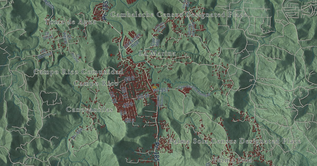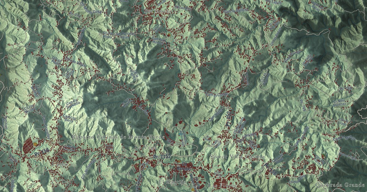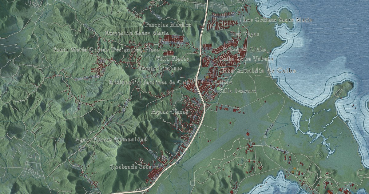
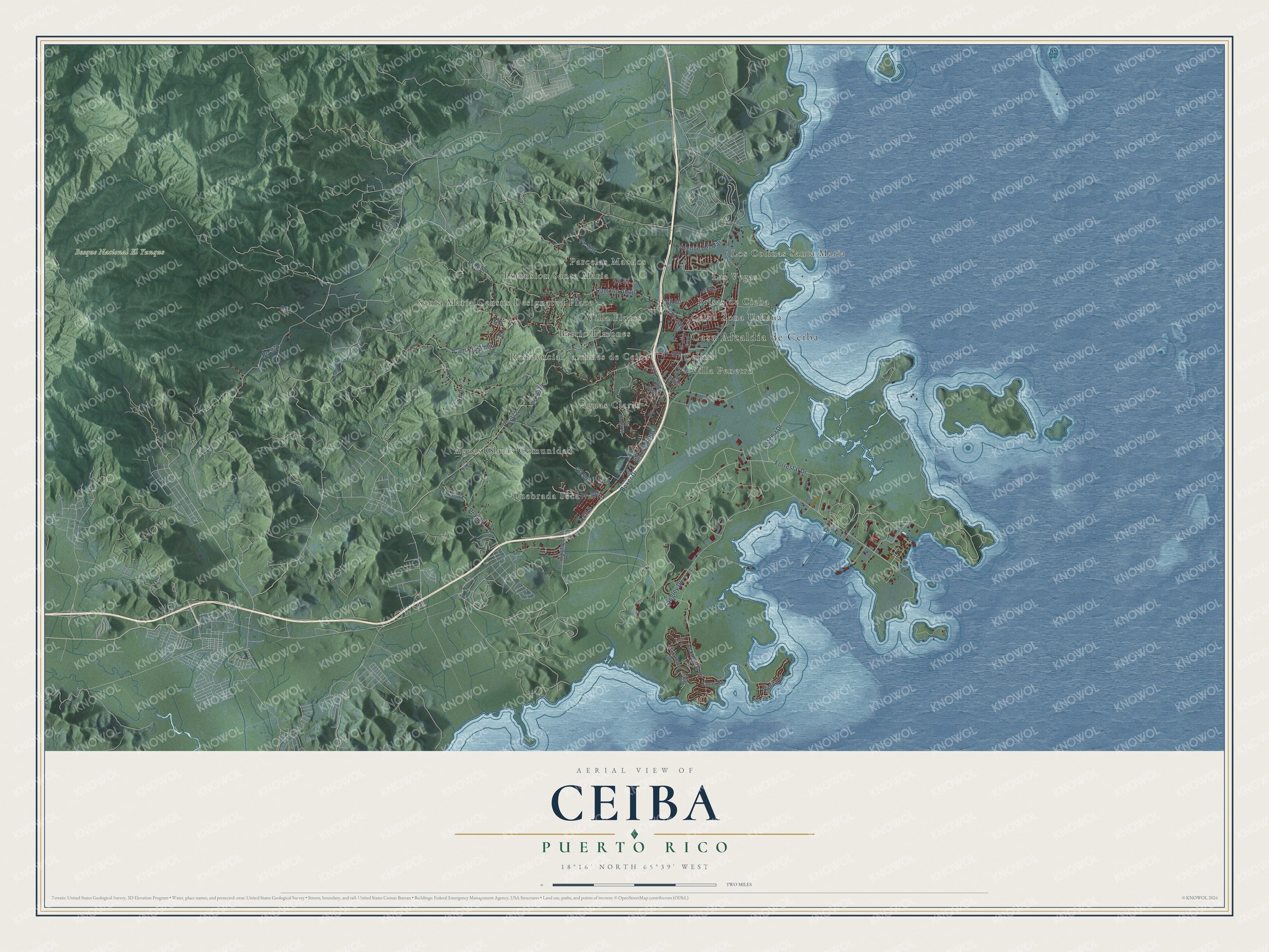
This beautifully detailed map of Ceiba, Puerto Rico was created in 2026 using aerial imagery combined with modern topographical, census, street and landmark data. It's a modern aerial view of the municipio of Ceiba, Puerto Rico, that combines modern data with a vintage aesthetic. The roads feature printed names, and if you look closely you can find your exact house accurately shown in its correct location.
Explore an aerial view of Ceiba, Puerto Rico
On this map you'll find Casa Alcaldía de Ceiba, Bosque Nacional El Yunque, Aguas Claras, Aguas Claras Comunidad, Barrio Limones, Brisas de Cieba, Ceiba Zona Urbana, Celina, Extension Santa Maria, Las Vegas, Los Colinas Santa Maria, Parcelas Machos, and more. Each red shape is a building, so zoom in on the preview and look for yours.
Ceiba has a story worth telling. The record at topuertorico.org puts it this way: "Founded in 1838, Ceiba takes its name from the magnificent ceiba tree, one of Puerto Rico's largest and most revered native trees."
Ceiba is one of the 78 municipios of Puerto Rico. The Census Bureau counted 11,307 people here in 2020.
Take a closer look at the Ceiba map
Names on this map
These names are printed on this map.
Places: Casa Alcaldía de Ceiba, Bosque Nacional El Yunque, Aguas Claras, Aguas Claras Comunidad, Barrio Limones, Brisas de Cieba, Ceiba Zona Urbana, Celina, Extension Santa Maria, Las Vegas, Los Colinas Santa Maria, Parcelas Machos, Quebrada Seca, Residencial Jardines de Ceiba, Santa María Census Designated Place, Villa Flores and Villa Penetro.
Streets and roads: Forrestal Drive, Pr- 977, Langley Drive, Cam Rio Abajo, Cam Río Abajo, Pr- 975, Cll 1, Cll 2, Pr- 3, Cll 3, Pr- 978, Boxer Drive.
More street names, A to Z
Avenue del Mar, Bennington Road, Cll 4, Cll 5, Cll 6, Cll 8, Cll 9, Cll 10, Cll 50, Cll Jardin, Cll Julian Rivera, Cll Los Millones, Cll Los Pinos, Cll Margarita, Cll Robles, Cll Sol, Essex Street, Intrepid Road, Lexington Drive, Nimitz Drive, Pr- 971, Pr- 972, Pr- 973, Pr- 974, Pr- 979, Pr- 981, Pr- 9774, Pr- 9974, Ranger Road, Saratoga Drive, Tarawa Drive.
Created by KNOWOL in 2026. The buildings are small red shapes, the roads carry their printed names, and shaded relief shows the shape of the land. The title panel reads "AERIAL VIEW OF CEIBA, PUERTO RICO" with 18°16' NORTH 65°39' WEST.
It looks right in a kitchen, an office or a den, and it's a gift for anyone who grew up in Ceiba or moved away. Open the preview and find your street. See sizes and frames for the Ceiba map.