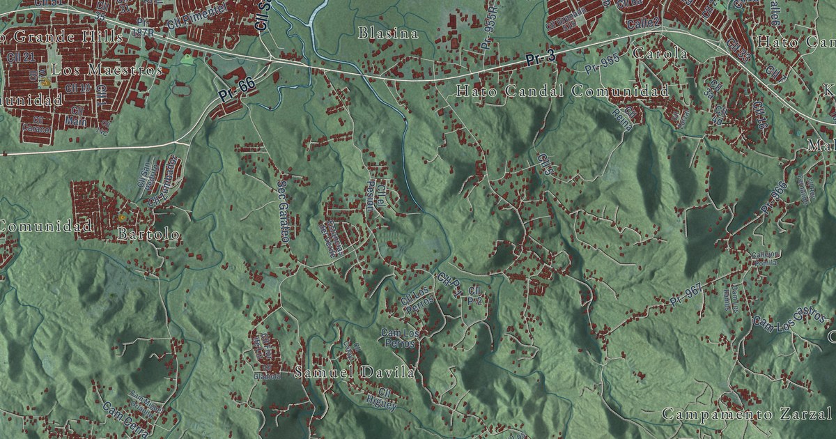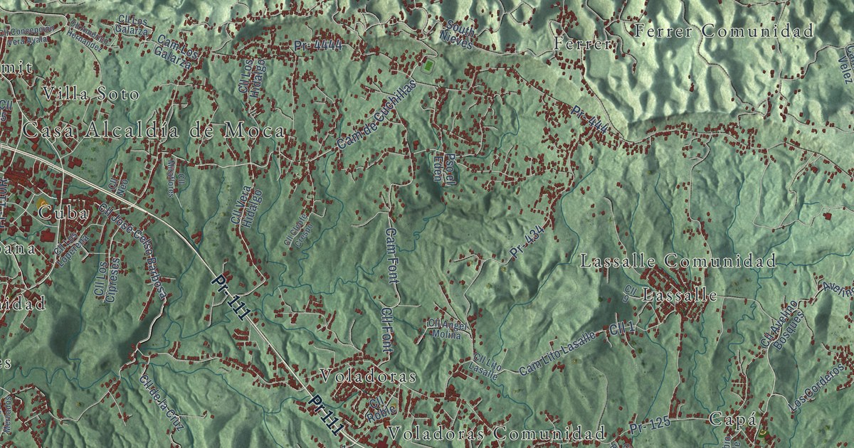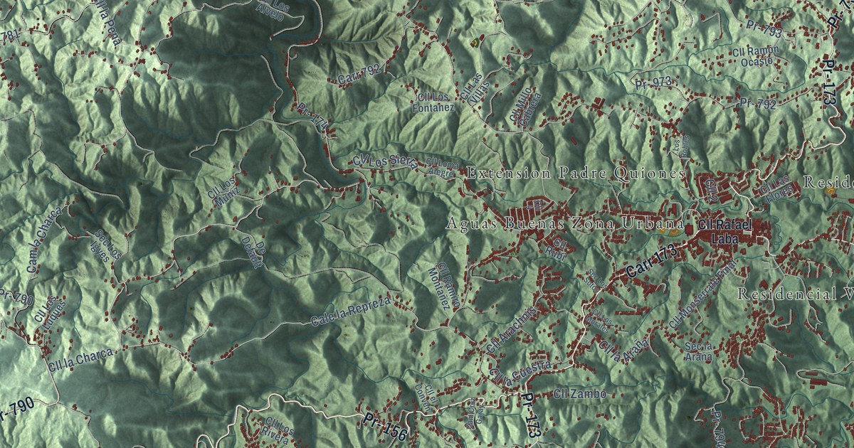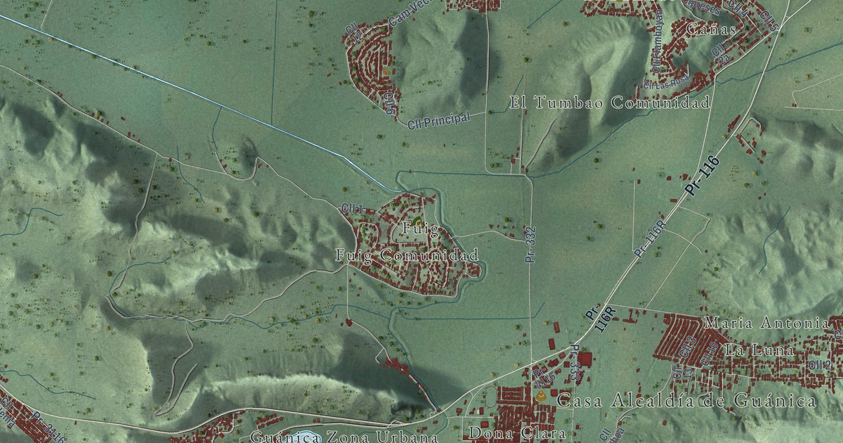
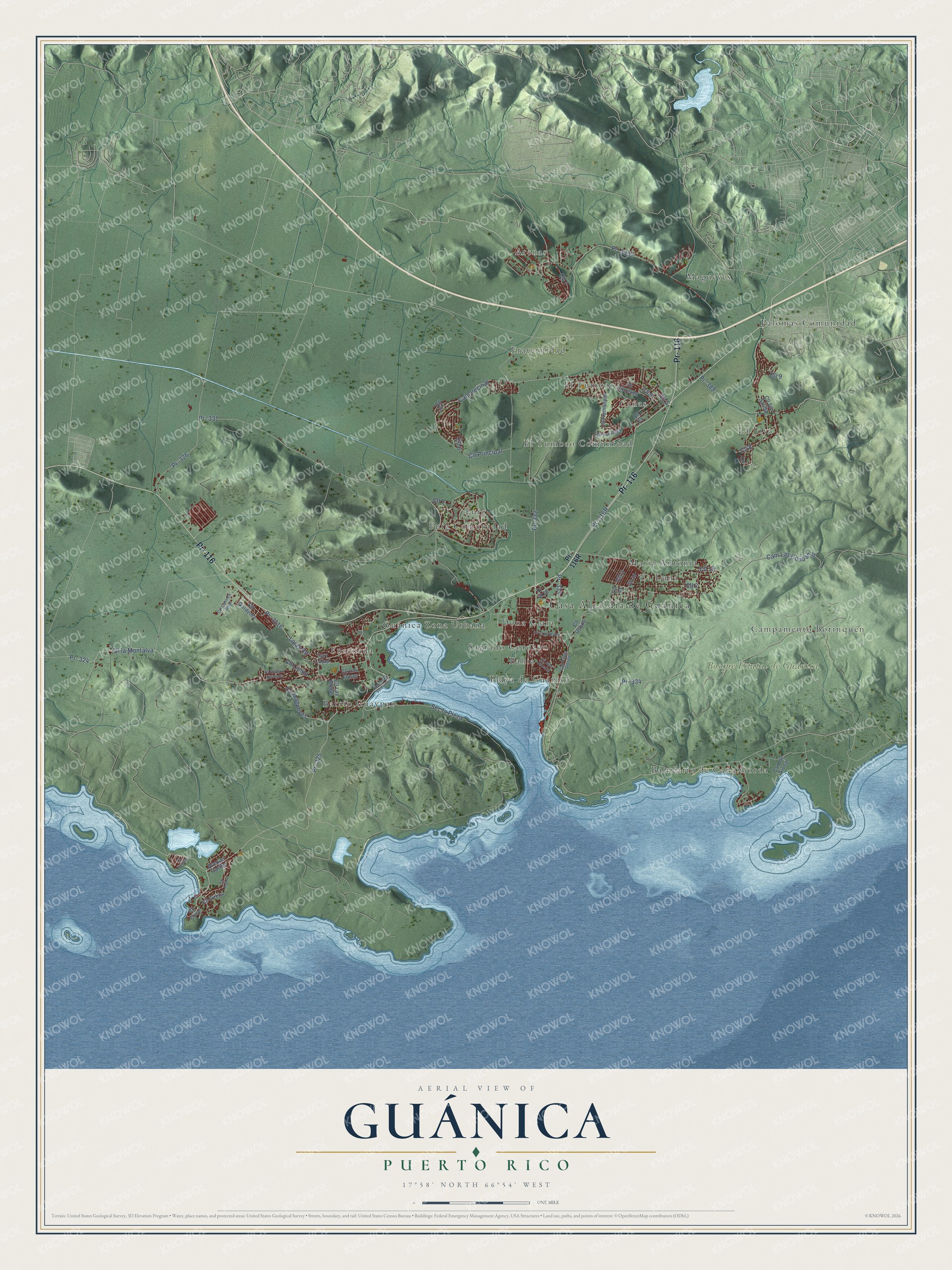
This beautifully detailed map of Guánica, Puerto Rico was created in 2026 using aerial imagery combined with modern topographical, census, street and landmark data. It's a modern aerial view of the municipio of Guánica, Puerto Rico, that combines modern data with a vintage aesthetic. The roads feature printed names, and if you look closely you can find your exact house accurately shown in its correct location.
Explore an aerial view of Guánica, Puerto Rico
On this map you'll find Casa Alcaldía de Guánica, Bosque Estatal de Guánica, Arenas, Bahia, Balneario de Caña Gorda, Barrio Guaypao, Campamento Borinquén, Cañas, Dona Clara, El Tumbao, El Tumbao Comunidad, Ensenada, and more. Each red shape is a building, so zoom in on the preview and look for yours.
Every town has a first chapter, and Guánica is no exception. The 1940 WPA Guide to Puerto Rico puts it this way: "Originally settled in 1510 by Don Cristobal Sotomayor, Guanica was part of Yauco until 1914, when it was made a municipality by an act of the Insular Legislature."
Guánica is one of the 78 municipios of Puerto Rico. The Census Bureau counted 13,787 people here in 2020.
Take a closer look at the Guánica map
Names on this map
These names are printed on this map.
Places: Casa Alcaldía de Guánica, Bosque Estatal de Guánica, Arenas, Bahia, Balneario de Caña Gorda, Barrio Guaypao, Campamento Borinquén, Cañas, Dona Clara, El Tumbao, El Tumbao Comunidad, Ensenada, Fraternidad, Fuig, Fuig Comunidad, Guánica Zona Urbana, La Joya, La Luna, Magueyes, Maria Antonia, Palomas Comunidad, Playa de Guánica and Sagrado Corozon.
Streets and roads: Pr- 116, Pr- 326, Cll Principal, Pr- 325, Cll 2, Cll 1, Pr- 333, Cll 3, Pr- 389, Cll 5, Cll 8, Cll 6.
More street names, A to Z
Avenue Caribe, Avenue Los Veteranos, Cam de Aional, Cam Las Coübanas, Cam Vecinal, Carr Caña Gorda, Carr Lajas, Cll 4, Cll 7, Cll 9, Cll 10, Cll 11, Cll 12, Cll 13, Cll 13 de Marzo, Cll 19, Cll Carmen Real, Cll Cipreses, Cll Coral, Cll Flamboyan, Cll Fragata, Cll Gardenia, Cll José Nazario, Cll la Montalva, Cll Las Brujas, Cll Las Flores, Cll Las Rosa, Cll Limon, Cll Magueyes, Cll Ochoa, Cll Palmn, Cll Roberto Clemente, Cll Sin Salida, Cll Sirena, Lajas Road, Pr- 324, Pr- 331, Pr- 332, Pr- 334, Pr- 3116, Pr- 3332, Pr- 4116, Sec la Pieza.
See it on a wall
The Guánica map as a framed print. Swipe for more.


Created by KNOWOL in 2026. The buildings are small red shapes, the roads carry their printed names, and shaded relief shows the shape of the land. The title panel reads "AERIAL VIEW OF GUÁNICA, PUERTO RICO" with 17°58' NORTH 66°54' WEST.
Hang it in the hallway, the office or the cabin, or give it to someone who left Guánica and still calls it home. Open the preview and look for a street you know. See sizes and frames for the Guánica map.