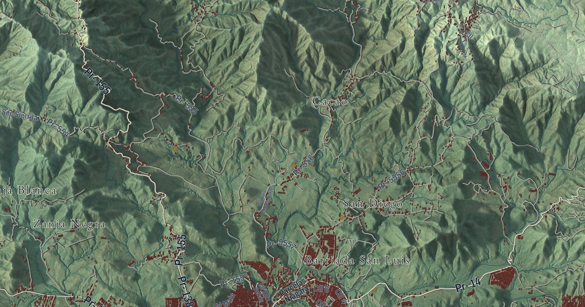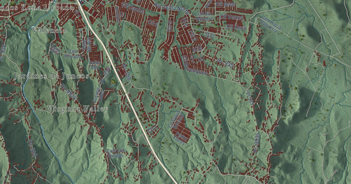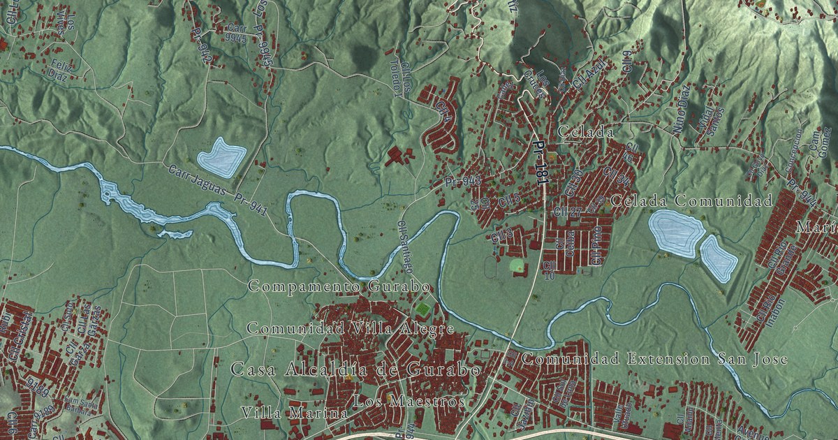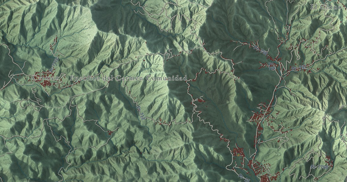
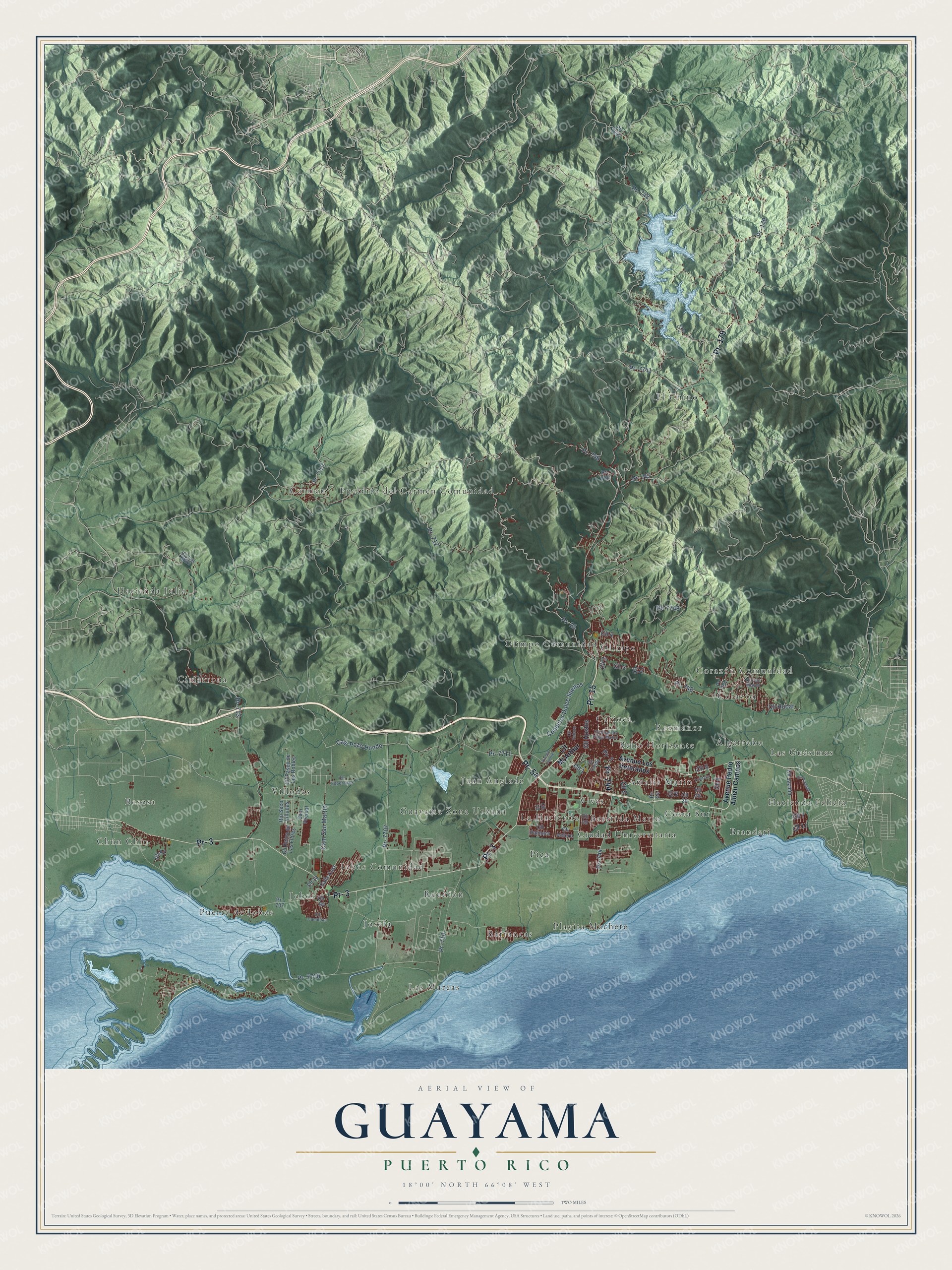
This beautifully detailed map of Guayama, Puerto Rico was created in 2026 using aerial imagery combined with modern topographical, census, street and landmark data. It's a modern aerial view of the municipio of Guayama, Puerto Rico, that combines modern data with a vintage aesthetic. The roads feature printed names, and if you look closely you can find your exact house accurately shown in its correct location.
Explore an aerial view of Guayama, Puerto Rico
On this map you'll find Algarrobo, Amalia Marin, Barrancas, Barriada Marin, Bello Horizonte, Besosa, Branderi, Carioca, Carmen, Chún Chín, Cimarrona, Ciudad Universitaria, and more. Each red shape is a building, so zoom in on the preview and look for yours.
Here is a piece of Guayama history, in the words of the record. The 1940 WPA Guide to Puerto Rico puts it this way: "The Bishop of Puerto Rico took up residence in Guayama while making his annual pastoral visit in the southern region of the Island."
Guayama is one of the 78 municipios of Puerto Rico. The Census Bureau counted 36,614 people here in 2020.
Take a closer look at the Guayama map
Names on this map
These names are printed on this map.
Places: Algarrobo, Amalia Marin, Barrancas, Barriada Marin, Bello Horizonte, Besosa, Branderi, Carioca, Carmen, Chún Chín, Cimarrona, Ciudad Universitaria, Corazón, Corazón Comunidad, Costa Sur, El Chino, Guayama Zona Urbana, Hacienda Felicia, Hacienda Julia, Jobos, Jobos Comunidad, Josefa, Juan Anglade, La Hacienda, Las Guásimas, Las Mareas, Olimpo, Olimpo Comunidad, Pica, Playita Machete, Pueblito del Carmen Comunidad, Puerto de Jobos, Reunión, Rexmanor, Villodas and Vives.
Streets and roads: Pr- 15, Pr- 179, Pr- 3, Pr- 54, Pr- 744, Pr- 742, Pr- 7741, Pr- 7707, Cll 6, Cll 1, Cll 3, Cll 7.
More street names, A to Z
Avenue Laporte, Avenue Los Veteranos, Avenue Pedro Albizu Campos, Calle East, Cam Pozo Hondo, Cam San Martin, Cam Vecinal, Cll 2, Cll 4, Cll 5, Cll 8, Cll 10, Cll 11, Cll 19, Cll 20, Cll 28, Cll 49, Cll 179, Cll A1, Cll A2, Cll Camelias, Cll Caribe, Cll Esperanza, Cll Hostos, Cll Hucar, Cll Jazmin, Cll Jose Marti, Cll McArthur, Cll Palmera, Cll Paseo de Los Robles, Cll Principal, Cll Reina de Las Flores, Cll San Miguel, Cll Tetuan, Cll Velero, Cll Vicente Pales Matos, Conector Dulce Sueños, Pr- 707, Pr- 710, Pr- 712, Pr- 713, Pr- 746, Pr- 747, Pr- 748, Pr- 751, Pr- 764, Pr- 7042, Pr- 7710, Pr- 7711, Pr- 7712, Pr- 7748, Rio Seco Villudas, Trinitaria.
See it on a wall
The Guayama map as a framed print. Swipe for more.


Created by KNOWOL in 2026. The buildings are small red shapes, the roads carry their printed names, and shaded relief shows the shape of the land. The title panel reads "AERIAL VIEW OF GUAYAMA, PUERTO RICO" with 18°00' NORTH 66°08' WEST.
It suits a den, a classroom or a front hall, and it makes a gift for anyone with Guayama roots. Open the preview and find the block you know. See sizes and frames for the Guayama map.