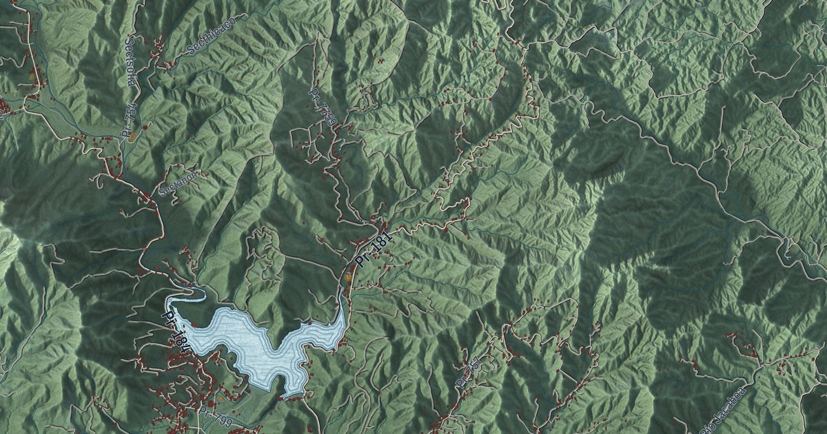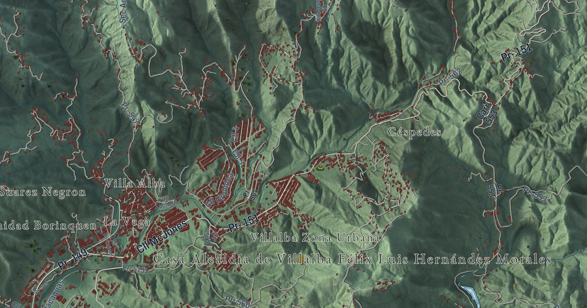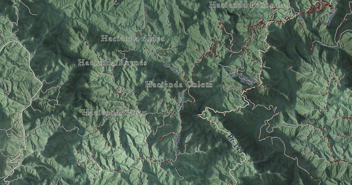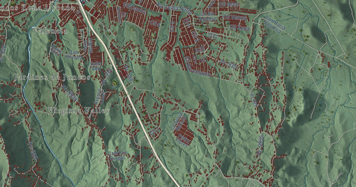
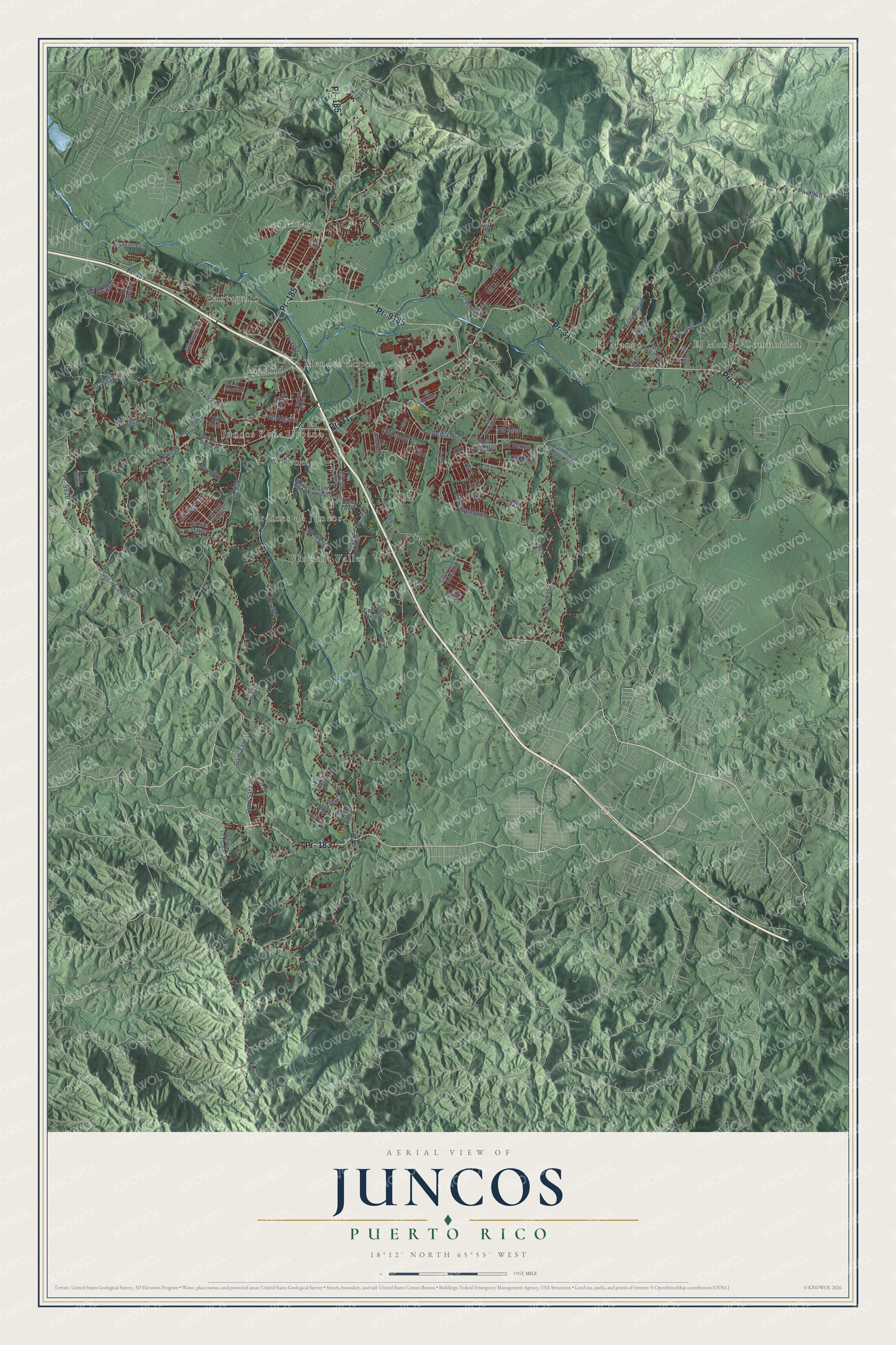
This beautifully detailed map of Juncos, Puerto Rico was created in 2026 using aerial imagery combined with modern topographical, census, street and landmark data. It's a modern aerial view of the municipio of Juncos, Puerto Rico, that combines modern data with a vintage aesthetic. The roads feature printed names, and if you look closely you can find your exact house accurately shown in its correct location.
Explore an aerial view of Juncos, Puerto Rico
On this map you'll find Cantagallo, El Mangó, El Mangó Comunidad, Jardines de Juncos, Juncos Zona Urbana, Las Piñas, Madrid, Mendez Lopez, Valencia, Virginia Valley, Pr- 183, Pr- 31, and more. Each red shape is a building, so zoom in on the preview and look for yours.
Juncos has a story worth telling. The record at topuertorico.org puts it this way: "The municipality's name is believed to come from the abundance of juncos (reeds) that once grew along nearby rivers and wetlands."
Juncos is one of the 78 municipios of Puerto Rico. The Census Bureau counted 37,012 people here in 2020.
Take a closer look at the Juncos map
Names on this map
These names are printed on this map.
Places: Cantagallo, El Mangó, El Mangó Comunidad, Jardines de Juncos, Juncos Zona Urbana, Las Piñas, Madrid, Mendez Lopez, Valencia and Virginia Valley.
Streets and roads: Pr- 183, Pr- 31, Pr- 185, Pr- 9185, Pr- 9929, Pr- 189, Pr- 928, Pr- 929, Cam Zarzal, Sec 4 Calles, Cll 7, Pr- 9926.
More street names, A to Z
Abey, Avenue Lilian, Bo Ceiba Norte, Calla Pajuil, Cam del Parque, Cam Hacia Vaqueria, Cam Los Amigos, Cam Los Burgas, Cam Privado, Cam Sarzar, Carr Lirios, Cll 1, Cll 2, Cll 3, Cll 4, Cll 5, Cll 6, Cll 8, Cll 9, Cll 10, Cll 11, Cll 12, Cll 13, Cll 15, Cll 17, Cll 24, Cll Acacias, Cll Aleli, Cll Algarin, Cll Arce, Cll Azahar, Cll Benjamina, Cll Borenquen, Cll Campo Alegre, Cll Caoba, Cll Cedro, Cll Dalia, Cll Eucalipto, Cll Gardenia, Cll Girasol, Cll Gorrion, Cll Guama, Cll Jobos, Cll Muñoz Rivera, Cll Naranjos, Cll Orquidea, Cll San Ciprian, Cll San Luis, Cll San Mateo, Cll Sin Nombre, Cll Sylvia Rexach, Cll Tibes, Cll Venus, Cll Zeus, Finca Bonita, Manciones, Pajuil, Pedro Flores, Pr- 198, Pr- 919, Pr- 933, Pr- 934, Pr- 935, Pr- 946, Pr- 947, Pr- 952, Pr- 9919, Pr- 9928, Pr- 9933, Pr- 9934, Pr- 9935, Pr- 9948, Pr 935, Pso Escute, Ramal 9934, Sec Mulero, Valle Alto, Valle del Rio, Villa Marisesi.
Created by KNOWOL in 2026. The buildings are small red shapes, the roads carry their printed names, and shaded relief shows the shape of the land. The title panel reads "AERIAL VIEW OF JUNCOS, PUERTO RICO" with 18°12' NORTH 65°55' WEST.
It looks right in a kitchen, an office or a den, and it's a gift for anyone who grew up in Juncos or moved away. Open the preview and find your street. See sizes and frames for the Juncos map.