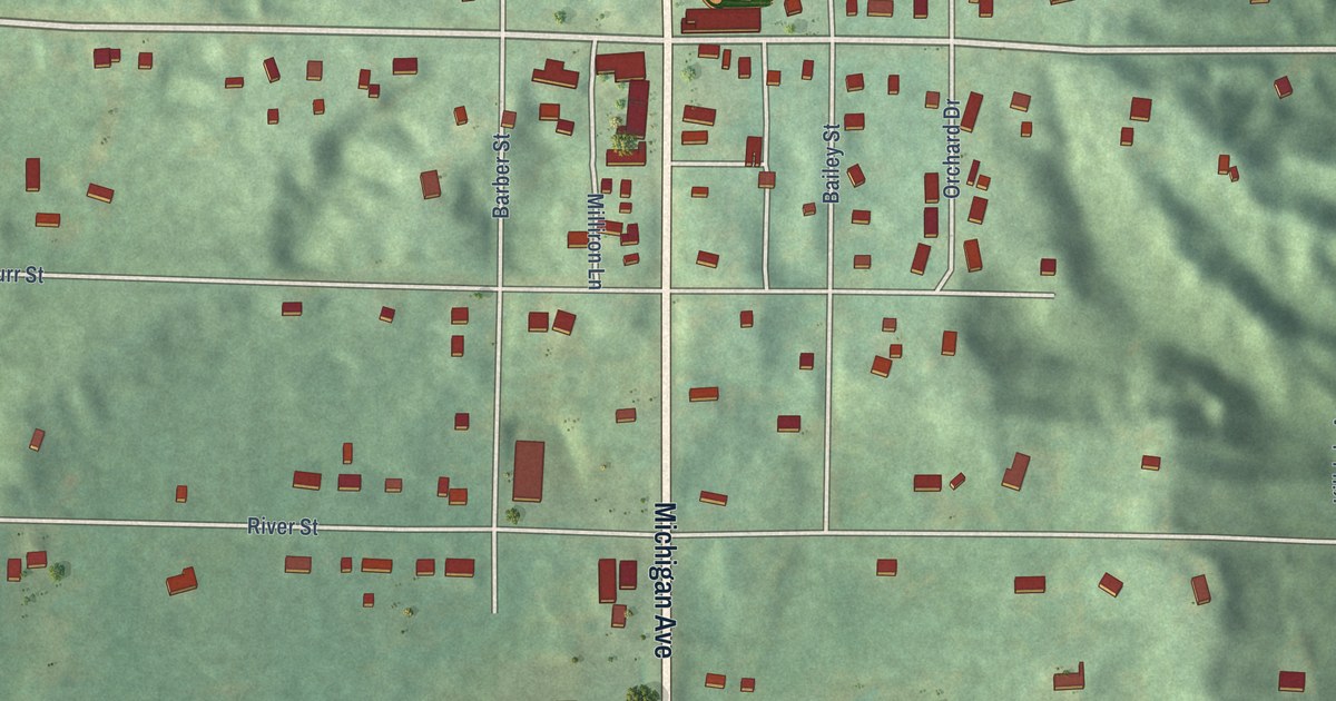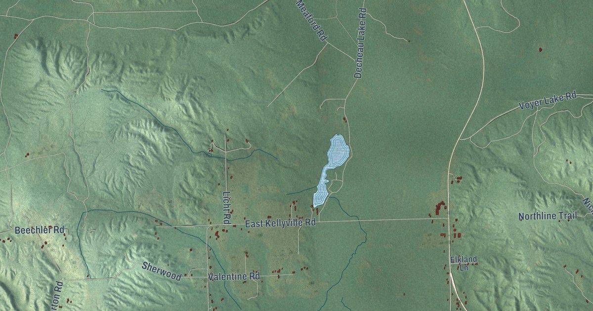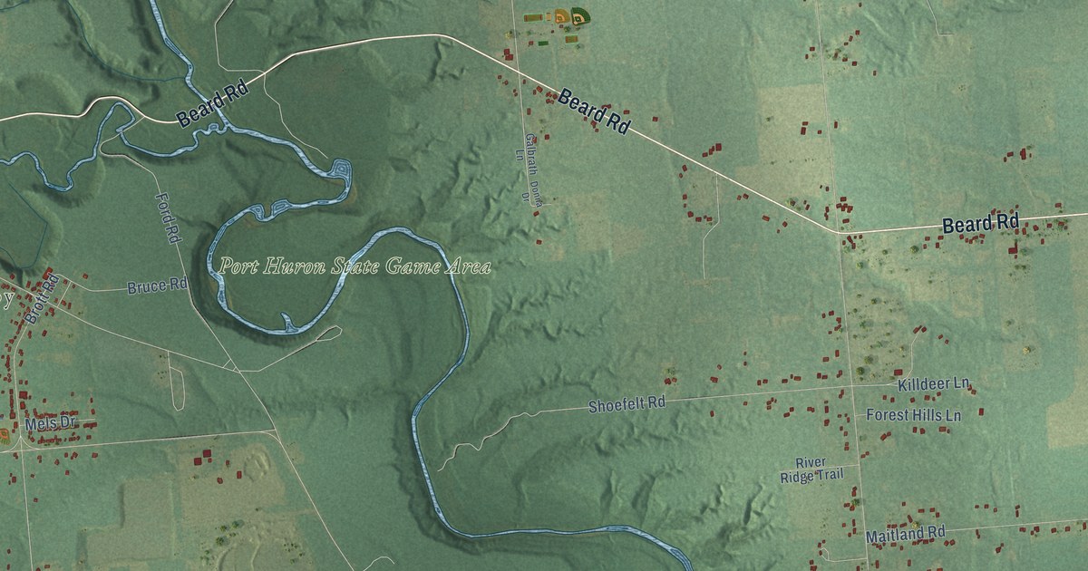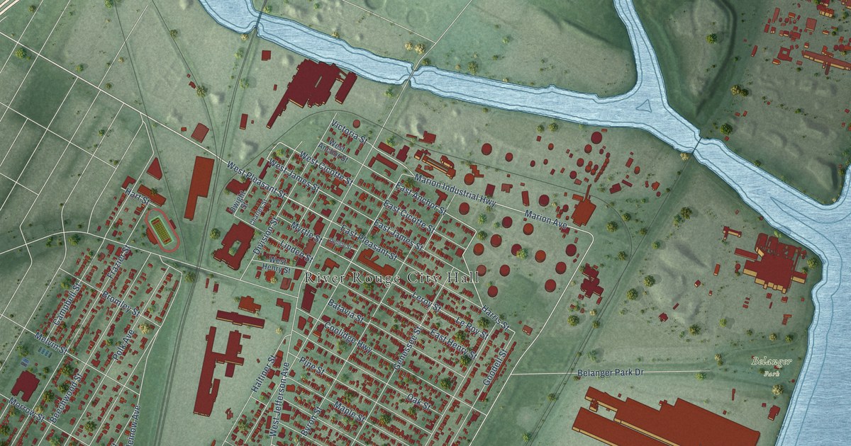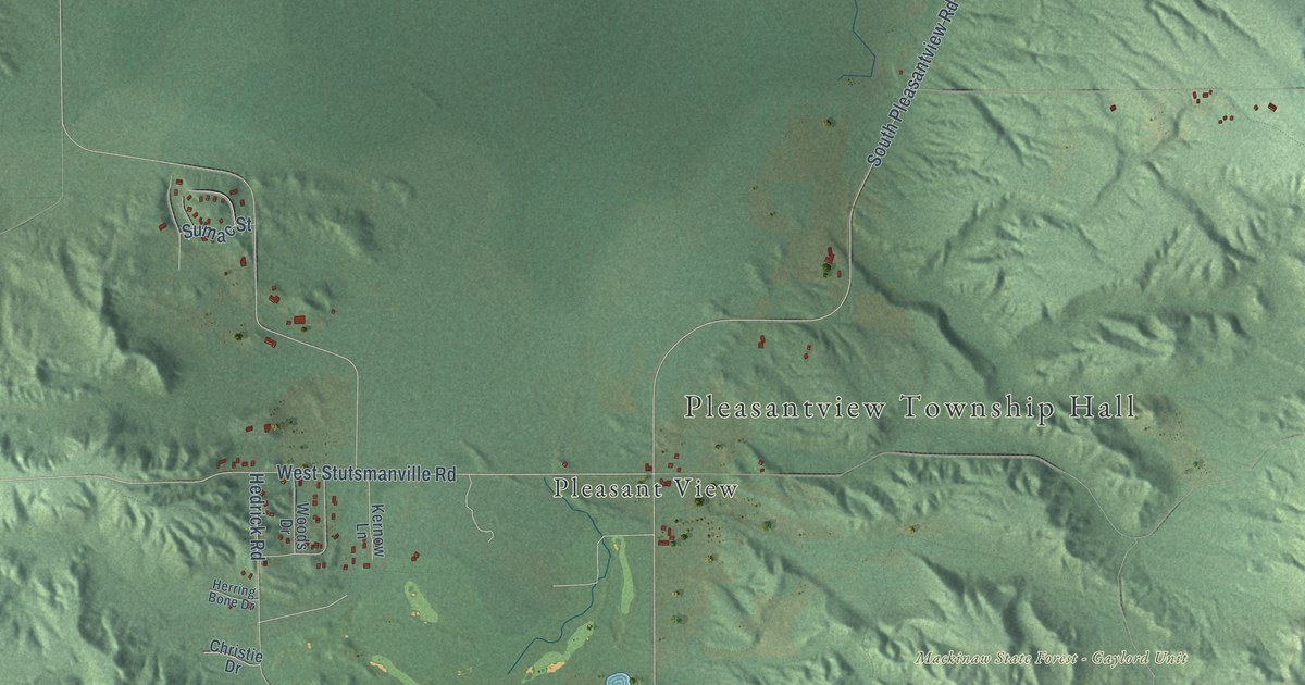
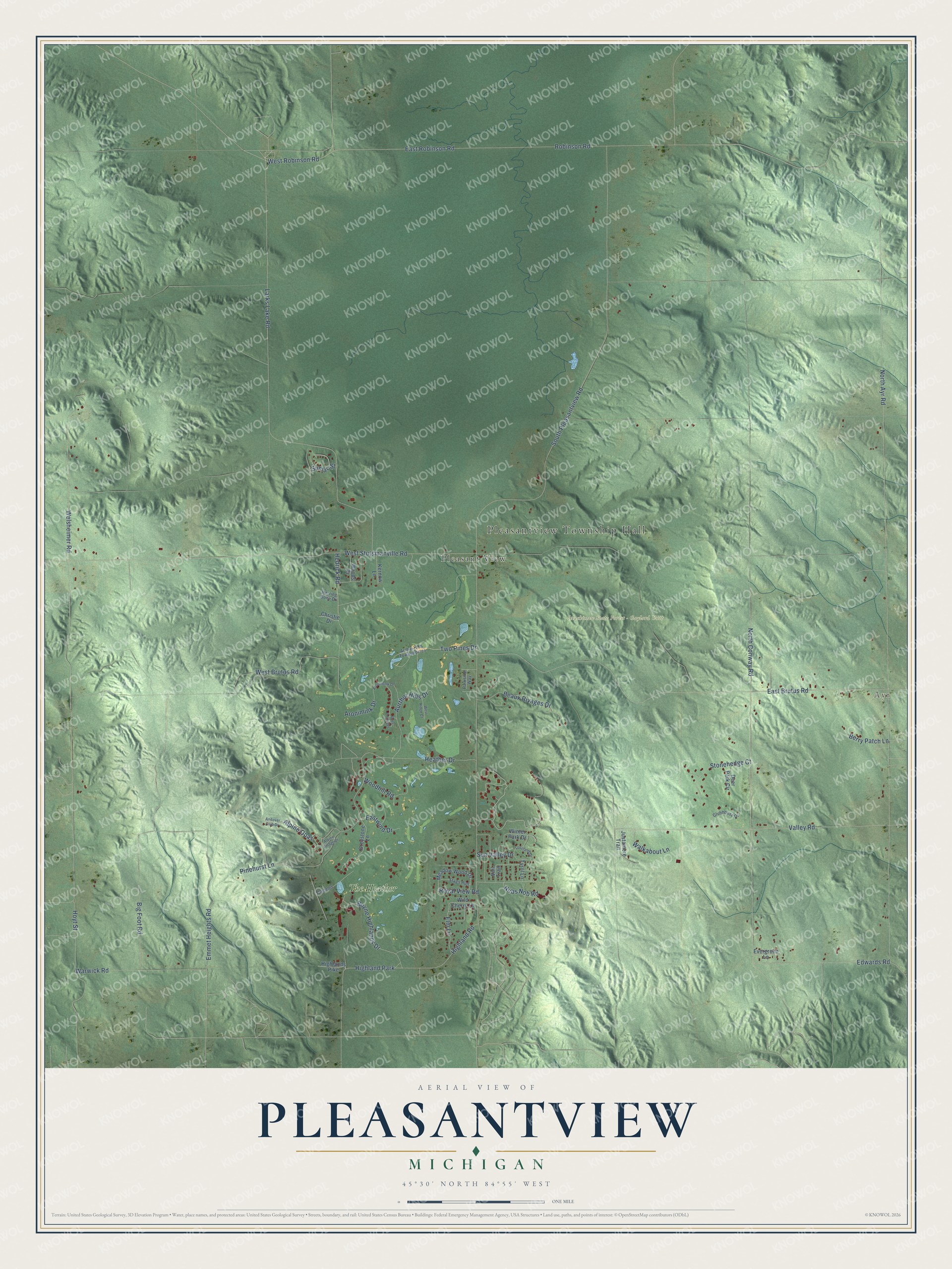
This beautifully detailed map of Pleasantview, Michigan was created in 2026 using aerial imagery combined with modern topographical, census, street and landmark data. It's a modern aerial view of Pleasantview in Emmet County, Michigan, that combines modern data with a vintage aesthetic. The roads feature printed names, and if you look closely you can find your exact house accurately shown in its correct location.
Explore an aerial view of Pleasantview, Michigan
On this map you'll find Pleasantview Township Hall, Ayr, Mackinaw State Forest – Gaylord Unit, Pleasant View, The Heather, Highland Park, West Robinson Road, East Robinson Road, South Pleasantview Road, North Ayr Road, Welsheimer Road, Larks Lake Road, and more. Each red shape is a building, so zoom in on the preview and look for yours.
Here is a piece of Pleasantview history, in the words of the record. The Pleasantview Township puts it this way: "While Emmet County was established in 1840 in its present shape and size, it was not until 1876 (after the treaty revision) that the Emmet County Board of Supervisors established Pleasantview Township, based on a petition from residents of the area. The Township population at that time was 418 people."
The Census Bureau counted 918 people here in 2020.
Take a closer look at the Pleasantview map
Names on this map
These names are printed on this map.
Places: Pleasantview Township Hall, Ayr, Mackinaw State Forest - Gaylord Unit, Pleasant View, The Heather and Highland Park.
Streets and roads: West Robinson Road, East Robinson Road, South Pleasantview Road, North Ayr Road, Welsheimer Road, Larks Lake Road, East Brutus Road, Robinson Road, West Stutsmanville Road, North Conway Road, Valley Road, Heather Drive.
More street names, A to Z
Alpine Opas, Alpine Village Drive, Andover Club Drive, Aronimink Drive, Aronomink Drive, Arthur Hills Townehomes, Aurthor Hills Drive, Beaux Rivages Drive, Berry Patch Lane, Big Foot Road, Boyne Highlands Drive, Camelot, Christie Drive, Clubhouse Drive, Deer Park Circle, Eastwind Drive, Edwards Road, Elm Lane, Emmet Heights Road, Evergreen Lane, Greystone Lane, Hedrick Road, Herring Bone Drive, Highland Road, Highlands Pike, Hoyt Street, Justamere Trail, Kernow Lane, Loveland Drive, Meadow Wood Drive, Nubs Nob Road, Parkside Way, Pinehurst Lane, Ross Cottages, Royal View Road, Stags Run, Stonehedge Court, Sumac Street, Sun Valley Drive, Two Pines Drive, Tyrol Lane, Vail Trail, Walkabout Lane, Warwick Road, West Brutus Road, West Ridge Court, Wild Cherry Lane, Winter Park Drive, Woodhill Road, Woods Drive.
Created by KNOWOL in 2026. The buildings are small red shapes, the roads carry their printed names, and shaded relief shows the shape of the land. The title panel reads "AERIAL VIEW OF PLEASANTVIEW, MICHIGAN" with 45°30' NORTH 84°55' WEST.
It suits a den, a classroom or a front hall, and it makes a gift for anyone with Pleasantview roots. Open the preview and find the block you know. See sizes and frames for the Pleasantview map.