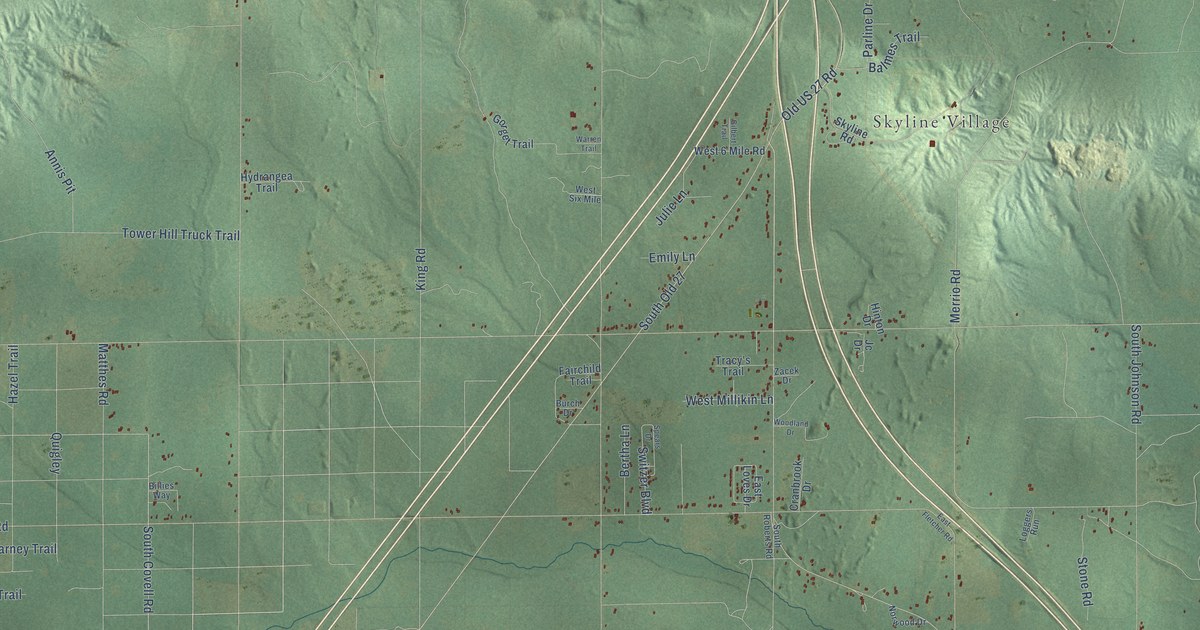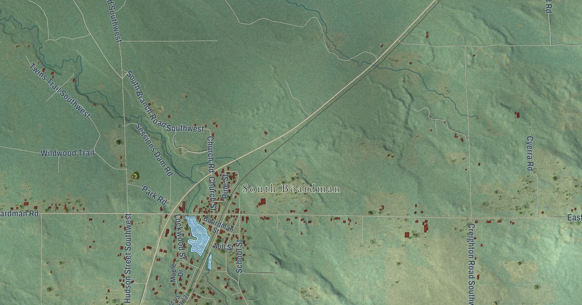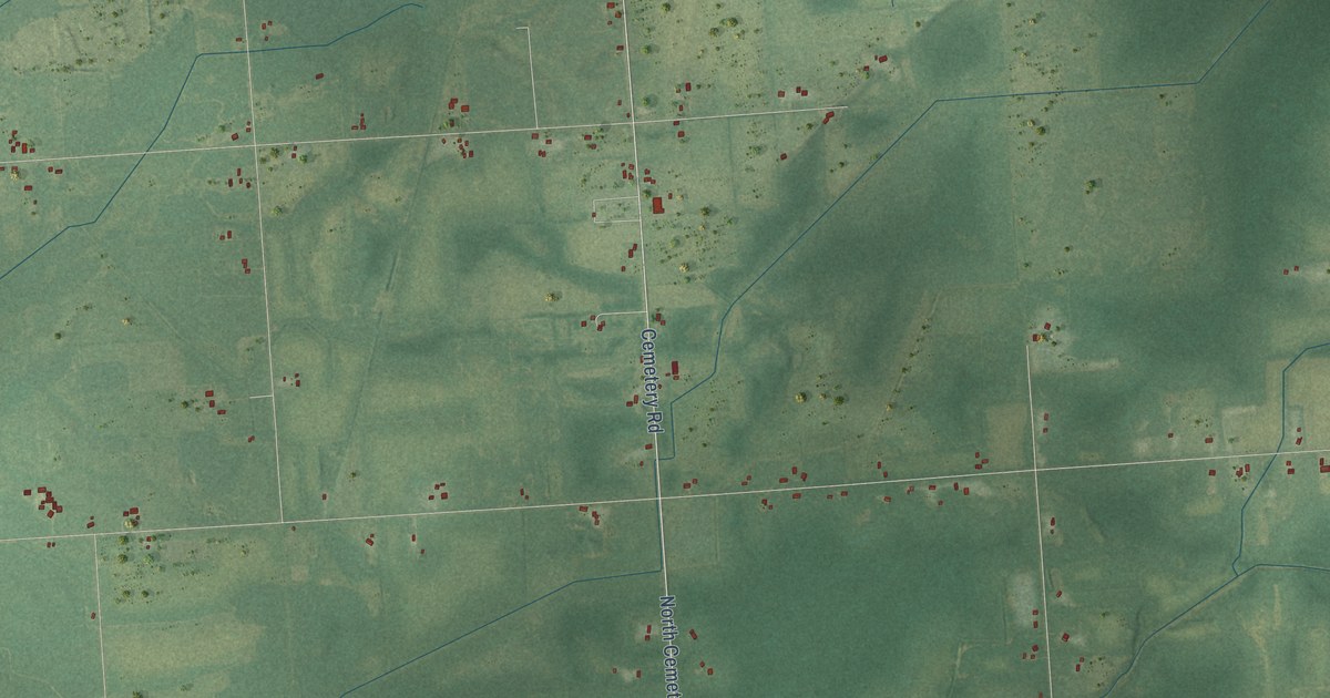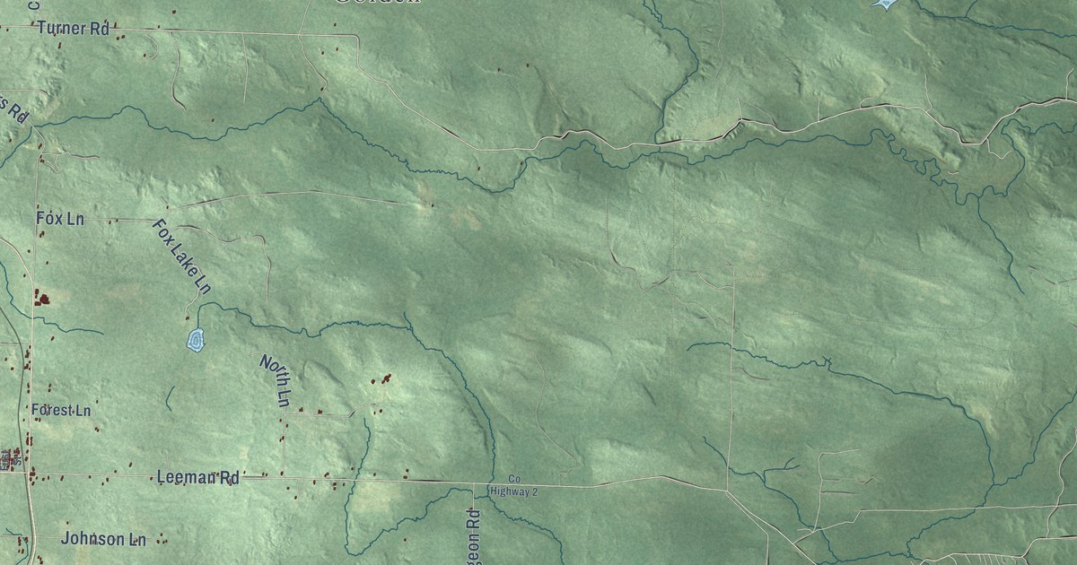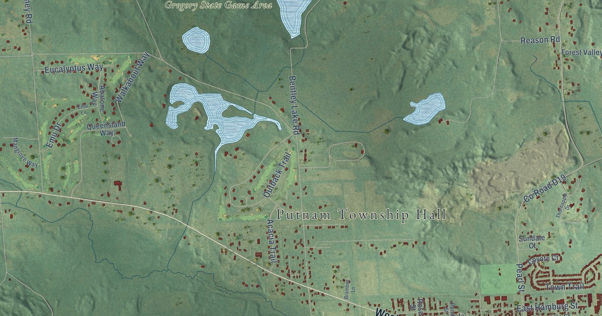
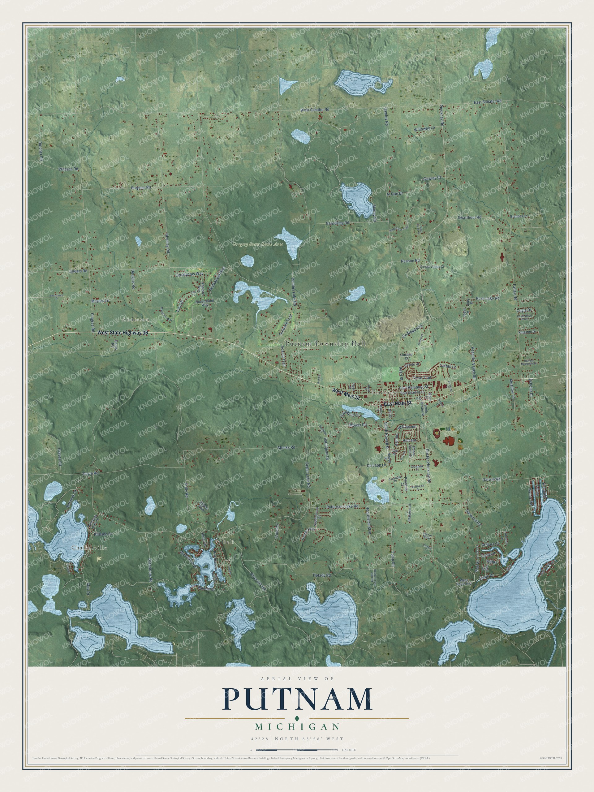
This beautifully detailed map of Putnam, Michigan was created in 2026 using aerial imagery combined with modern topographical, census, street and landmark data. It's a modern aerial view of Putnam in Livingston County, Michigan, that combines modern data with a vintage aesthetic. The roads feature printed names, and if you look closely you can find your exact house accurately shown in its correct location.
Explore an aerial view of Putnam, Michigan
On this map you'll find Putnam Township Hall, Chalkerville, Hell, Anderson, Pinckney, Gregory State Game Area, West State Highway 36, East Main Street, West Main Street, Sarah Drive, Earl Street, South Howell Street, and more. Each red shape is a building, so zoom in on the preview and look for yours.
Putnam has a story worth telling. The History of Livingston County puts it this way: "Hugh Clark, a native of Ireland, emigrated to America in 1832, and settled in Somerset Co., N. J. In the fall of 1836 he came to Michigan, and settled in Putnam township, on the farm he still owns and occupies."
The Census Bureau counted 7,890 people here in 2020.
Take a closer look at the Putnam map
Names on this map
These names are printed on this map.
Places: Putnam Township Hall, Chalkerville, Hell, Anderson, Pinckney and Gregory State Game Area.
Streets and roads: West State Highway 36, East Main Street, West Main Street, Sarah Drive, Earl Street, South Howell Street, Dexter Pinckney Road, Ashton, Glenbrook Road, Brentwood, De Lapp Lane, Spears Road.
More street names, A to Z
Abalone Way, Acacia Trail, Al Don Drive, Algonquin Drive, Angels Pass, Arthurs Court, Beardsley Road, Bentley Lake Road, Beranek Drive, Bramber Lane, Brandes Lane, Burgess Road, Camelot, Cassa Blanka Drive, Cattail Lane, Cedar Lake Road, Colony, Connelly Court, Country, County Road D19, Coyle Drive, Coyle Drive South, Coyote Court, Darwin Road, Darwood Road, Dexter Town Hall Road, Douglas Road, Doyle Road, Dutcher Road, East Earle Street, East Hamburg Street, East Schafer Road, East Unadilla Street, Elizabeth, Emu Drive, Emu Lane, Eucalyptus Way, Fairwood Drive, Farley Road, Forest Valley Court, Gawley Court, Gawley Road, Graves Road, Grayhawk Court, Hanes Road, Hearthside Boulevard, Hillside Drive, Hinchey Road, Honey Comb Court, Howell Street, Hunters Way, Inner Drive, Joey Drive, Joeys Drive, Kelly Road, Kennedy, Kingston Drive, Kirkland Court, Lancelot Lane, Lee Street, Longden, Maday Road, Mangrove Way, Mann Street, Marion Street, Max Drive, Meadowind Court, Meadow Lane, Meyers Lane, Mill Street, Monks Road, Mower Road, Neil Street, Nita, Oak Ridge Court, Outback Trail, Parkdale, Park Street, Patterson Lake Drive, Patterson Lake Road, Peaceful Valley Road, Pearl Street, Pinckney Road, Pingree Road, Pondridge Drive, Pondside Court, Pond Street, Pumpkin Lane, Queensland Way, Rachel Marie, Reason Road, Riverbank Lane, Rolling Meadows Drive, Rose Street, Rush Lake Road, Saddlebrook Drive, Sarahjean Drive, Sarajean Court, Scholar Drive, Shannon Lane, Silver Hill Road, South Dexter Street, Spearswood Drive, Sundale Court, Swarthout Road, Thornapple Drive, Tiplady Road, Toma Road, Town Trail, Vincent, Walkabout Way, Wasson Road, Weiman Drive, West Sarah Avenue, West Schafer Road, Westshore Drive, Wilbur, Wilderness Trail, Willowby Lane, Wynns Road.
Created by KNOWOL in 2026. The buildings are small red shapes, the roads carry their printed names, and shaded relief shows the shape of the land. The title panel reads "AERIAL VIEW OF PUTNAM, MICHIGAN" with 42°28' NORTH 83°58' WEST.
It looks right in a kitchen, an office or a den, and it's a gift for anyone who grew up in Putnam or moved away. Open the preview and find your street. See sizes and frames for the Putnam map.