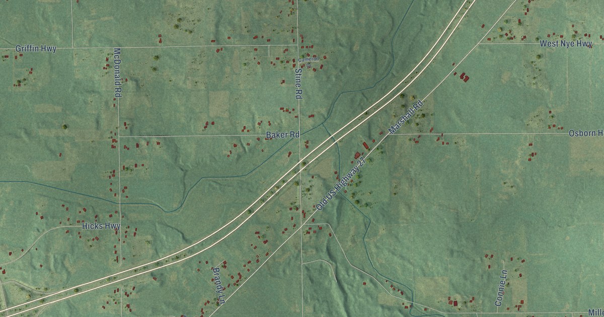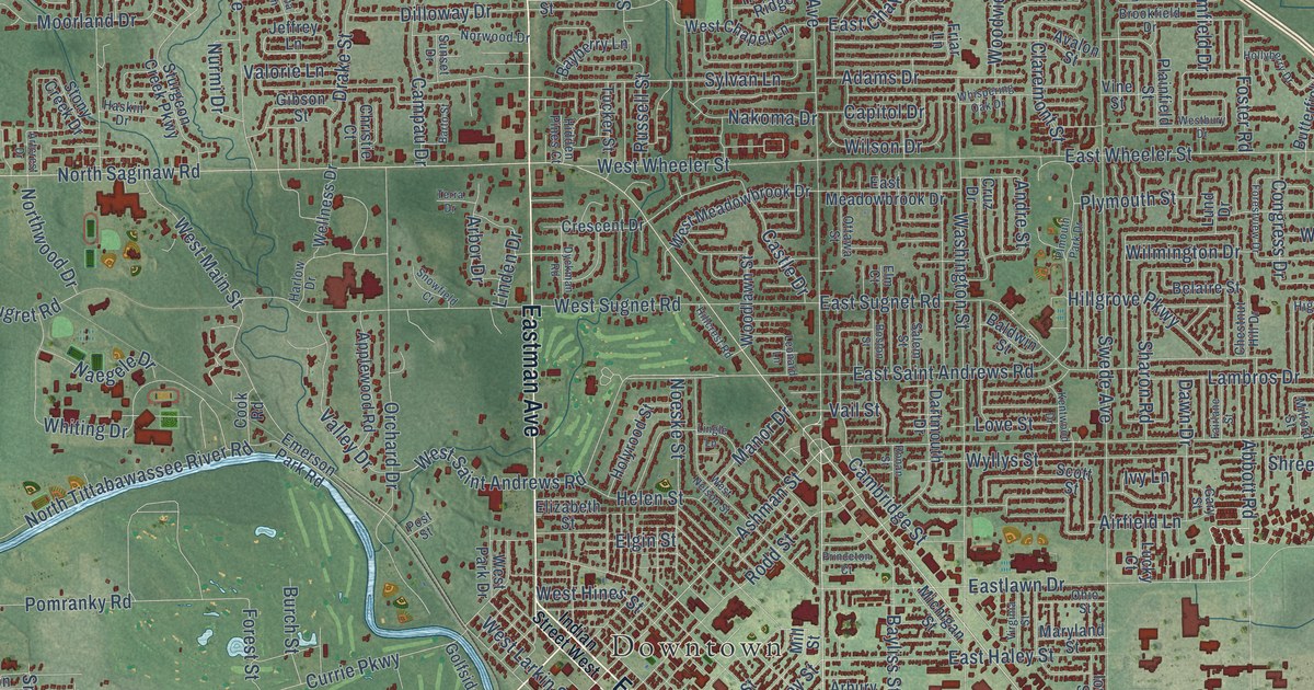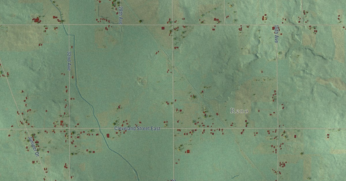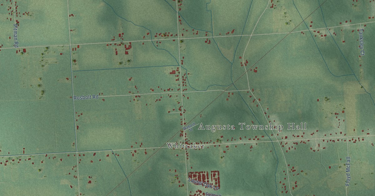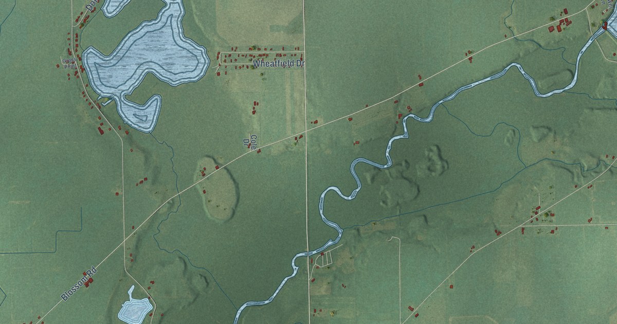
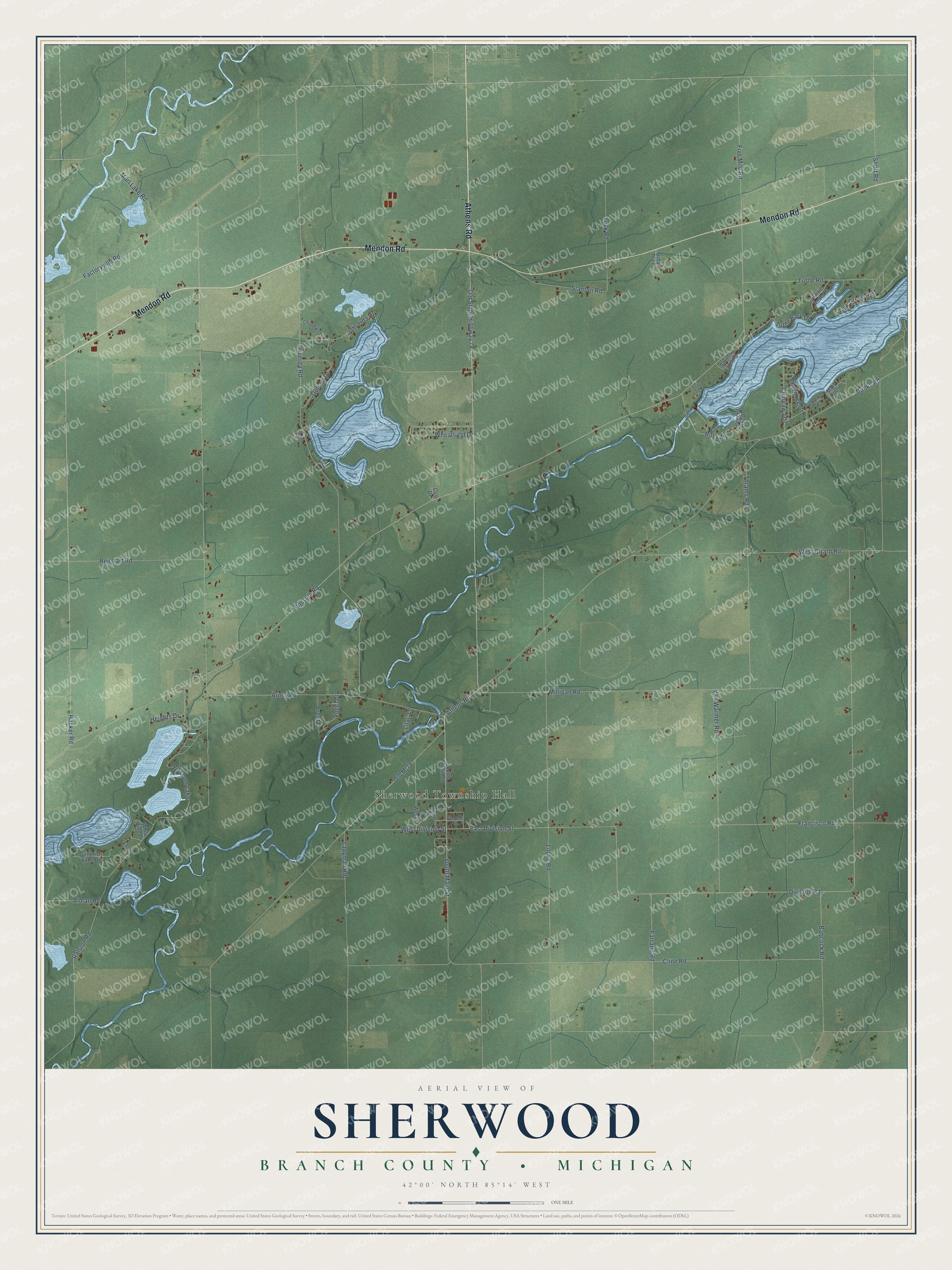
This beautifully detailed map of Sherwood, Michigan was created in 2026 using aerial imagery combined with modern topographical, census, street and landmark data. It's a modern aerial view of Sherwood in Branch County, Michigan, that combines modern data with a vintage aesthetic. The roads feature printed names, and if you look closely you can find your exact house accurately shown in its correct location.
Explore an aerial view of Sherwood, Michigan
On this map you'll find Sherwood Township Hall, Athens Road, Mendon Road, Hacker Road, Blossom Road, South Main Street, East Division Street, West Division Street, Five Mile Road, Dunks Road, Factoryville Road, Ralston Road, and more. Each red shape is a building, so zoom in on the preview and look for yours.
Sherwood has a story worth telling. The History of Branch County puts it this way: "The township of Sherwood was organized in the year 1836, by act of the Legislature, and included also the present township of Union, which was separately orgaaized the succeeding year (1837). Sherwood was named at the instance of its first settler, Alexander E. Tomlinson, from Sherwood Forest, in England."
The Census Bureau counted 1,959 people here in 2020.
Take a closer look at the Sherwood map
Names on this map
These names are printed on this map.
Places: Sherwood Township Hall, Blossom Lake and Oak Grove Park.
Streets and roads: Athens Road, Mendon Road, Hacker Road, Blossom Road, South Main Street, East Division Street, West Division Street, Five Mile Road, Dunks Road, Factoryville Road, Ralston Road, Babcock Road.
More street names, A to Z
Alman Road, Arney Road, Beech Bay Drive, Brent Drive, Cherokee Drive, Chippawa Drive, Chippewa Circle, Cline Road, Cole Drive, Division Road, Dotson Drive, Farrand Road, Flower Lane, Francisco Road, Goodrich Lake Drive, Gross Point, Haughey Drive, Heights Drive, Ladyman Road, Lilac Lane, Locke Road, Lusk Road, Marl Lake Road, Mary Ellen, Milligan Road, North Main Street, Old M-78, Old State Highway 78, Oliverda Drive, Oliverda Road, Prairie Rose Lane, Railroad Street, Reichart Road, Riley Road, Shafe Lane, Sherman Street, Short Road, Smiths Landing, Stanton Road, Thrams Road, Tribal Trail, Tuttle Park Drive, Tuttle Road, Van Warmer Road, Vogel Drive, West Girard Road, West Street, Wheatfield Drive, White Pine Drive.
Created by KNOWOL in 2026. The buildings are small red shapes, the roads carry their printed names, and shaded relief shows the shape of the land. The title panel reads "AERIAL VIEW OF SHERWOOD, BRANCH COUNTY • MICHIGAN" with 42°00' NORTH 85°14' WEST.
It looks right in a kitchen, an office or a den, and it's a gift for anyone who grew up in Sherwood or moved away. Open the preview and find your street. See sizes and frames for the Sherwood, Branch County map.