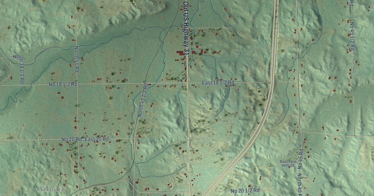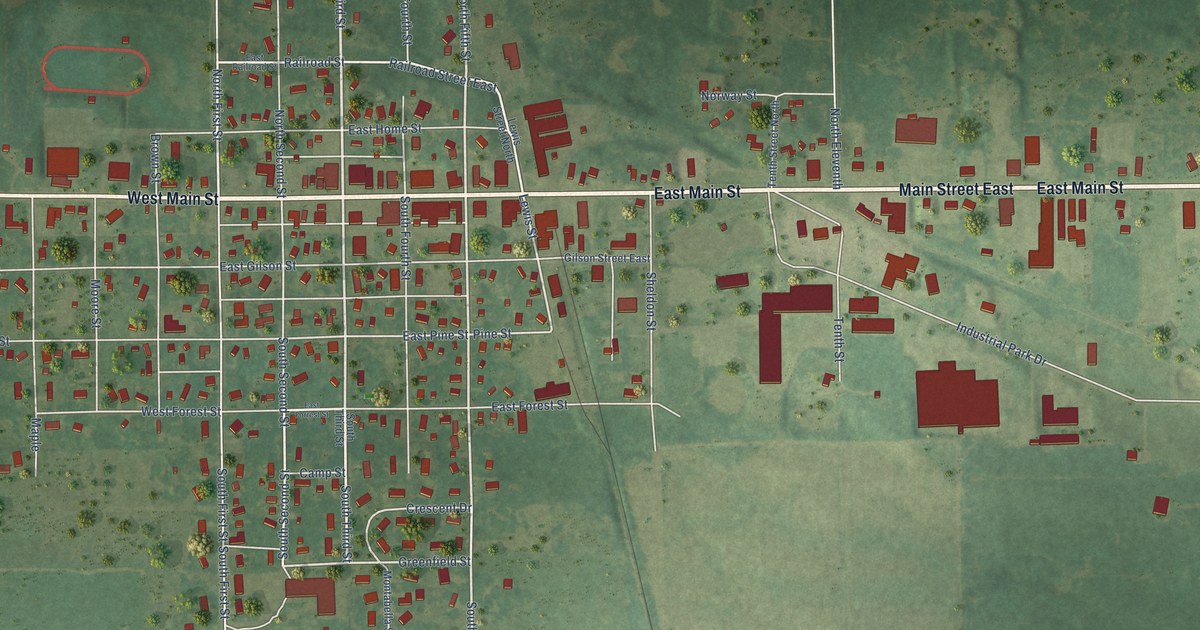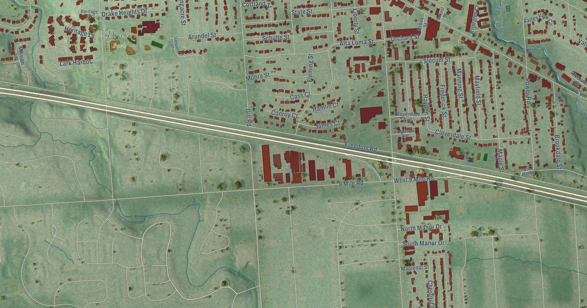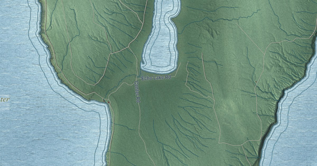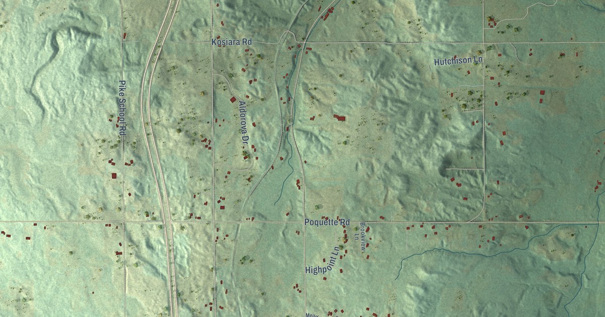
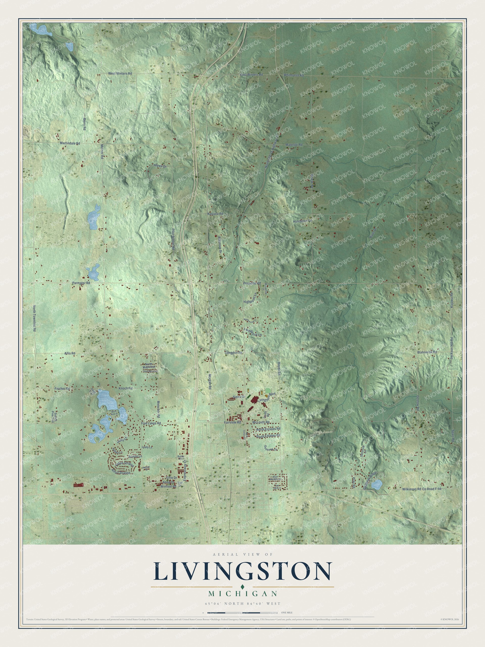
This beautifully detailed map of Livingston, Michigan was created in 2026 using aerial imagery combined with modern topographical, census, street and landmark data. It's a modern aerial view of Livingston in Otsego County, Michigan, that combines modern data with a vintage aesthetic. The roads feature printed names, and if you look closely you can find your exact house accurately shown in its correct location.
Explore an aerial view of Livingston, Michigan
On this map you'll find Otsego Resort, The Tribute, Morgan Road, West Winters Road, Fairview Road, North Old US Highway 27, East Winters Road, Hayes Road, Livingston Boulevard, Murner Road, North Townline Road, Pike School Road, and more. Each red shape is a building, so zoom in on the preview and look for yours.
Here is a piece of Livingston history, in the words of the record. The Livingston Township Master Plan puts it this way: "Originally, Livingston Township encompassed 36 square miles. However, about one-half square mile was transferred into the City of Gaylord when the City was initially incorporated."
The Census Bureau counted 2,652 people here in 2020.
Take a closer look at the Livingston map
Names on this map
These names are printed on this map.
Places: Otsego Resort and The Tribute.
Streets and roads: Morgan Road, West Winters Road, Fairview Road, North Old US Highway 27, East Winters Road, Hayes Road, Livingston Boulevard, Murner Road, North Townline Road, Pike School Road, Goslow Road, Nowak Road.
More street names, A to Z
Aldorova Drive, Allis Road, Altorf Strasse, Anna Drive, Ashley Lane, Berry Road, Birch Bark Street, Blahowiak Road, Brookview Lane, Buddy Avenue, Congdon Road, County Road F-44, Cross Road, East Huron Street, East Sheldon Street, Effie Drive, Expressway Court, Farmbrook Lane, Fischer Road, Five Lakes Road, Geuthner Ridge, Goshawk Circle, Highpoint Lane, Hlywa Drive, Holly Lane, Hutchison Lane, Jackson Hill Road, Knoch Road, Kosiara Road, Kujawa Road, Leafy Lane, Martindale Road, Matelski Road, McLouth Road, Meadowview Lane, Meecher Road, North Center Avenue, North Estates Road, North Mapleleaf, Page Trail, Parmater Road, Patriot Drive, Poquette Road, Pray Road, River Drive, Sides Drive, Sootch Pine Trail, South Estates Road, South Mapleleaf, Sparr Road, Suisse Lane, Sunshine Lane, Ted Drive, Valais Strasse, Whitmarsh Road, Wilkinson Road, Winfred Road.
Created by KNOWOL in 2026. The buildings are small red shapes, the roads carry their printed names, and shaded relief shows the shape of the land. The title panel reads "AERIAL VIEW OF LIVINGSTON, MICHIGAN" with 45°04' NORTH 84°40' WEST.
It suits a den, a classroom or a front hall, and it makes a gift for anyone with Livingston roots. Open the preview and find the block you know. See sizes and frames for the Livingston map.