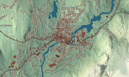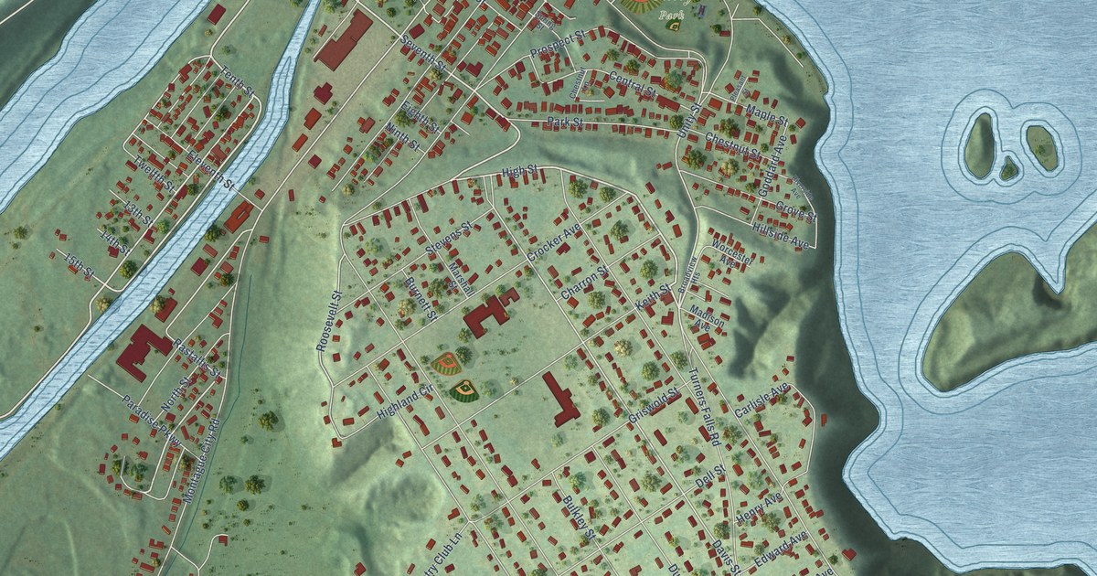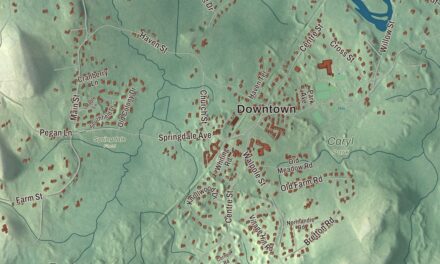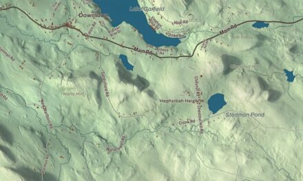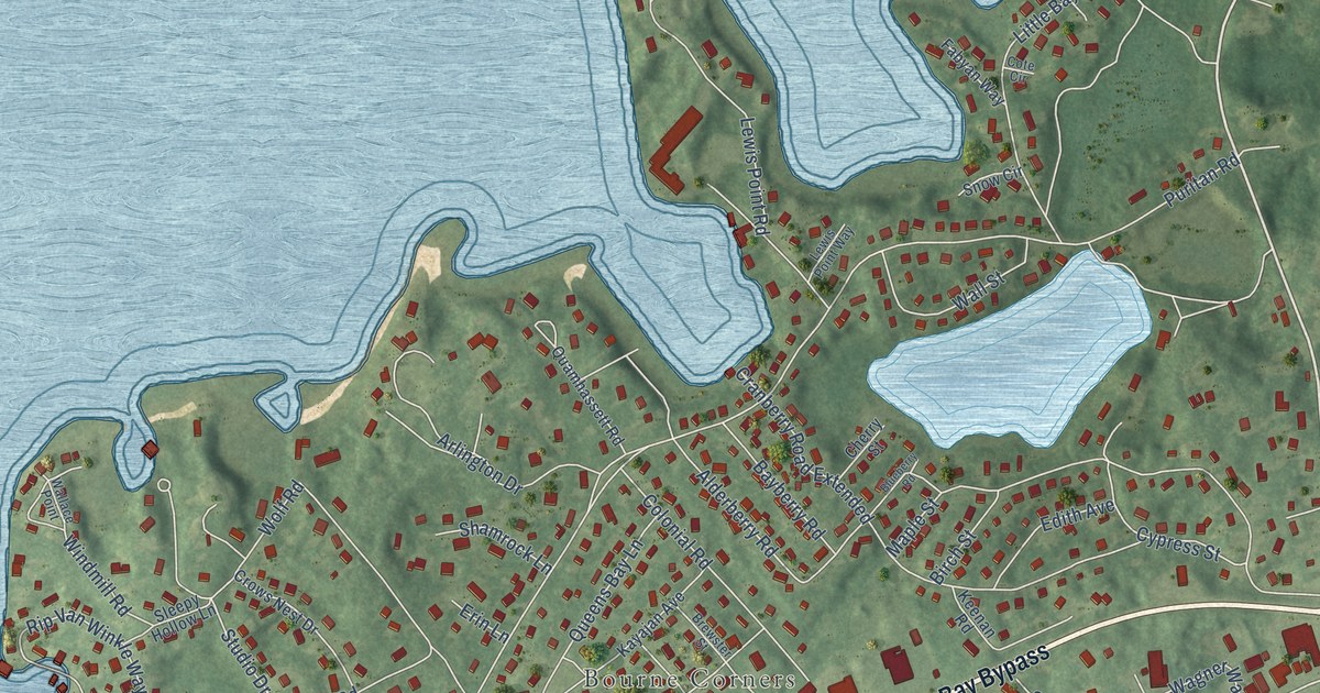
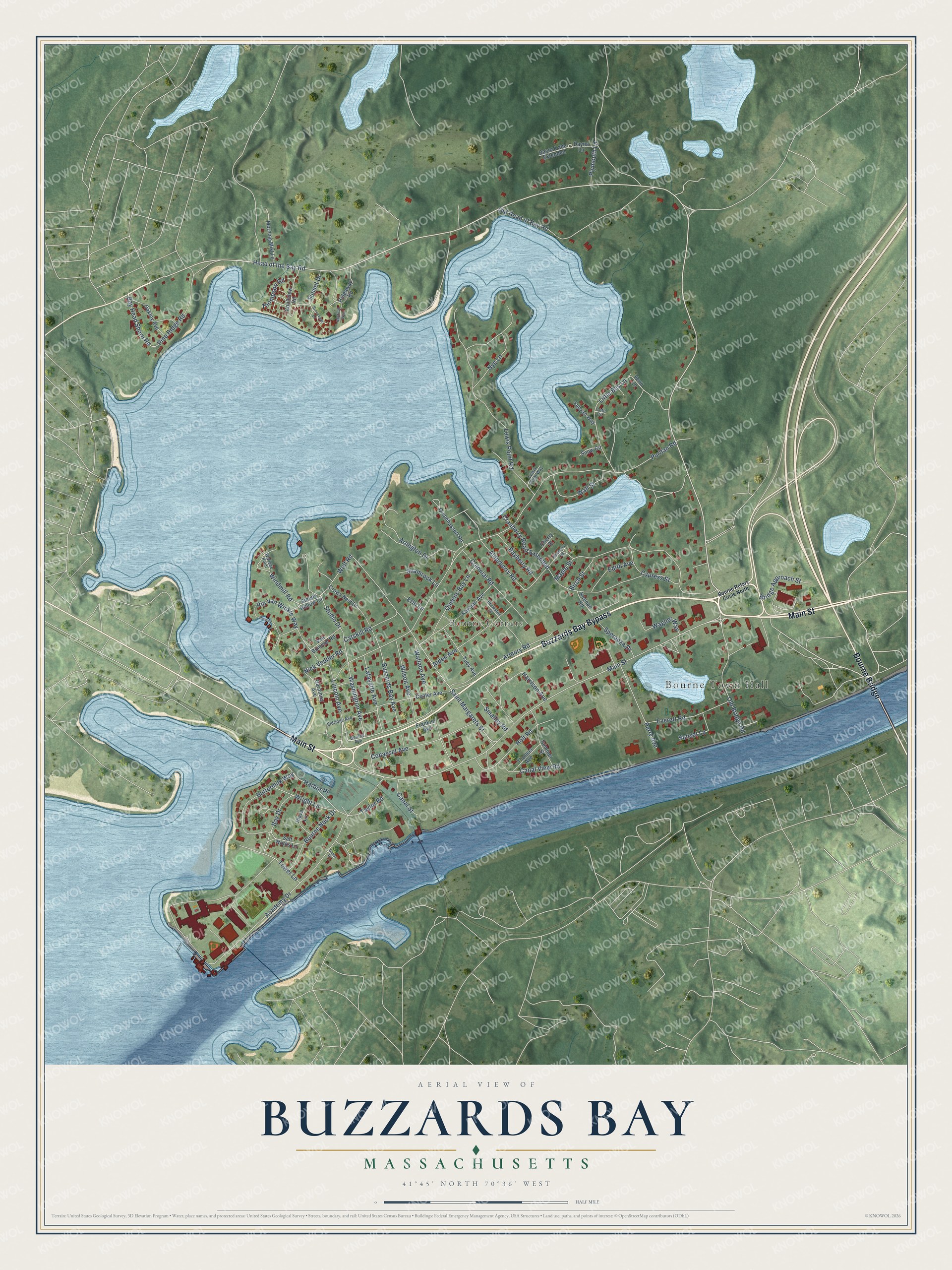
This beautifully detailed map of Buzzards Bay, Massachusetts was created in 2026 using aerial imagery combined with modern topographical, census, street and landmark data. It's a modern aerial view of Buzzards Bay in Barnstable County, Massachusetts, that combines modern data with a vintage aesthetic. The roads feature printed names, and if you look closely you can find your exact house accurately shown in its correct location.
Explore an aerial view of Buzzards Bay, Massachusetts
On this map you'll find Bourne Town Hall, Bourne Corners, Buzzards Bay Bypass, Main Street, Bourne Bridge, Head of the Bay Road, Lincoln Avenue, Washington Avenue, Bay Head Shore Road, Wallace Avenue, Puritan Road, Alderberry Road, and more. Each red shape is a building, so zoom in on the preview and look for yours.
Buzzards Bay is a community in Barnstable County. The Census Bureau counted 4,279 people here in 2020. The map prints the town name in its title panel, with the coordinates below it.
Take a closer look at the Buzzards Bay map
Names on this map
These names are printed on this map.
Places: Bourne Town Hall and Bourne Corners.
Streets and roads: Buzzards Bay Bypass, Main Street, Bourne Bridge, Head of the Bay Road, Lincoln Avenue, Washington Avenue, Bay Head Shore Road, Wallace Avenue, Puritan Road, Alderberry Road, Wolf Road, Academy Drive.
More street names, A to Z
Alden Avenue, Arlington Drive, Armory Road, Bayberry Road, Bay Drive, Birch Street, Blueberry Road, Bourne Avenue, Bourne Neck Drive, Bourne Rotary Circle North, Brewster Street, Bridge Approach Street, Brookview Drive, Buttermilk Way, Buzzards Bay Avenue, Canal Place, Canal Street, Canal View Road, Catskill Road, Center Avenue, Cherry Street, Cohasset Avenue, Colonial Road, Cote Circle, Cranberry Road Extended, Crows Nest Drive, Cypress Street, Dayna Lane, Dayna Lane Extended, Edith Avenue, Eldridge Avenue, Erin Lane, Everett Road, Fabyan Way, Franklin Avenue, Gardinier Avenue, Harbor Place, Harrison Avenue, Hideaway Road, Holt Road, Kayajan Avenue, Keenan Road, Knollview Road, Lafayette Avenue, Lewis Point Road, Lewis Point Way, Little Bay Lane, Maple Street, Morning Mist Lane, Nautical Way, Nick Vedder Road, Nye Lane, Oakley Avenue, Old Bridge Road, Old Head of Bay Road, Perry Avenue, Pine Ridge Road, Plaza Lane, Plymouth Lane, Quamhassett Road, Queens Bay Lane, Rip Van Winkle Way, Saint Margarets Street, Salt Works Lane, Shamrock Lane, Sleepy Hollow Lane, Smalley Road, Snow Circle, Speranza Drive, Studio Drive, Summer Street, Sunset Drive, Sunset Lane, Taylor Road, Thomas Avenue, Thompson Road, Tower Lane, Tucy Avenue, Van Bummel Road, Venn Lane, Wagner Way, Wallace Point, Wall Street, Wilson Avenue, Windmill Road, Wright Lane.
See it on a wall
The Buzzards Bay map as a framed print. Swipe for more.


Created by KNOWOL in 2026. The buildings are small red shapes, the roads carry their printed names, and shaded relief shows the shape of the land. The title panel reads "AERIAL VIEW OF BUZZARDS BAY, MASSACHUSETTS" with 41°45' NORTH 70°36' WEST.
It suits a den, a classroom or a front hall, and it makes a gift for anyone with Buzzards Bay roots. Open the preview and find the block you know. See sizes and frames for the Buzzards Bay map.