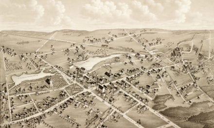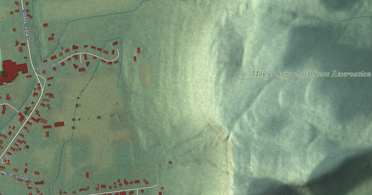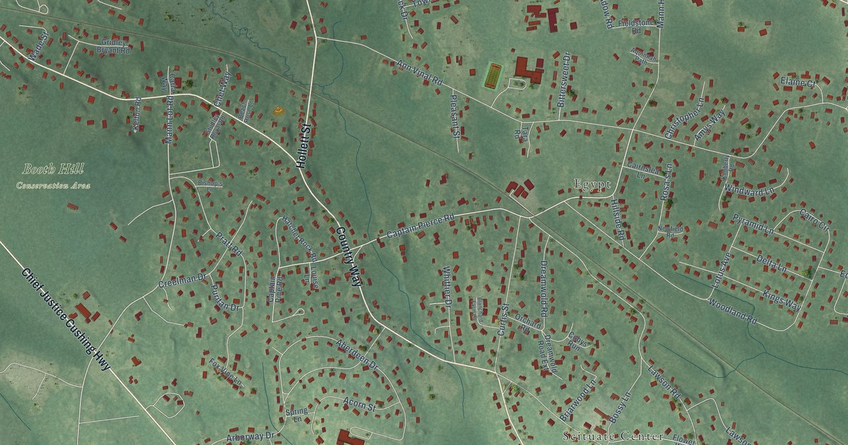
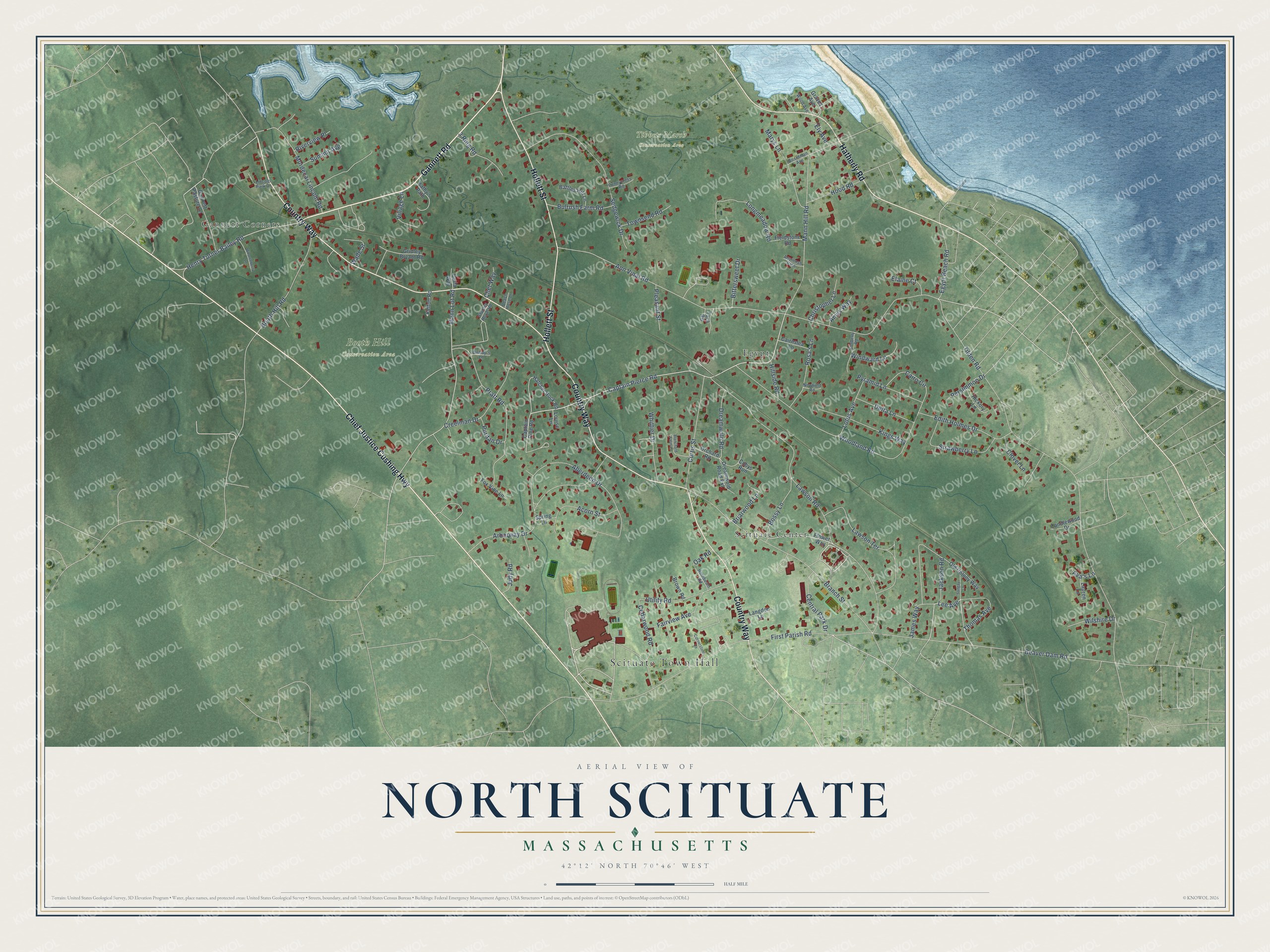
This beautifully detailed map of North Scituate, Massachusetts was created in 2026 using aerial imagery combined with modern topographical, census, street and landmark data. It's a modern aerial view of North Scituate in Plymouth County, Massachusetts, that combines modern data with a vintage aesthetic. The roads feature printed names, and if you look closely you can find your exact house accurately shown in its correct location.
Explore an aerial view of North Scituate, Massachusetts
On this map you'll find Scituate Town Hall, Booth Hill Conservation Area, Tibbets Marsh Conservation Area, Scituate Center, Egypt, Gannett Corners, Gannett Road, Country Way, Chief Justice Cushing Highway, Hollett Street, Hatherly Road, Captain Pierce Road, and more. Each red shape is a building, so zoom in on the preview and look for yours.
North Scituate is a community in Plymouth County. The Census Bureau counted 5,414 people here in 2020. The map prints the town name in its title panel, with the coordinates below it.
Take a closer look at the North Scituate map
Names on this map
These names are printed on this map.
Places: Scituate Town Hall, Booth Hill Conservation Area, Tibbets Marsh Conservation Area, Scituate Center, Egypt and Gannett Corners.
Streets and roads: Gannett Road, Country Way, Chief Justice Cushing Highway, Hollett Street, Hatherly Road, Captain Pierce Road, Lee Avenue, Jackson Road, Henry Turner Bailey Road, Mann Lot Road, Tilden Road, Lawson Road.
More street names, A to Z
3 Ring Road, Aberdeen Drive, Acorn Street, Amys Way, Ann Vinal Road, Aquinnah Path, Arborway Drive, Ava's Lane, Battles Hill Lane, Beach Rose Lane, Beaver Dam Road, Bishop's Lane, Bittersweet Drive, Blanchard Farm Lane, Boardman Avenue, Booth Hill Road, Bossy Lane, Branch Street, Briarwood Lane, Brown Road, Bulrush Farm Road, Cairnslea Lane, Cairo Circle, Candlewood Drive, Captain Pine Road, Carla Way, Cedarwood Road, Central Park Drive, Chet Way, Christopher Lane, Clover Lane, Cobys Run, Cornerstone Lane, Creelman Drive, Curtis Street, Delta Lane, Dreamwold Road, Dreamwold Road Extension, Edith Holmes Drive, Egypt Beach Road, Elaine Court, Ely Avenue, Fairview Avenue, Fieldstone Road, First Parish Road, Flower Way, Fox Vine Lane, Gannett Pasture Lane, Graves Avenue, Gridley Bryant Road, Hatchet Rock Road, Hickory Lane, Hillside Road, Hood Road, Hornbeam Road, James Way, Judy Road, Kathy's Path, Kelton Road, Kimberly Road, Kings Way, Langdon Lane, Lauren Lane, Lawson Terrace, Lincoln Park Drive, Longmeadow Road, Lotus Avenue, Louise Lane, Mann Hill Road, Marys Lane, Mordecai Lincoln Road, Newfield Road, Oak Road, Old Colony Way, Orchard Road, Pennycress Road, Persimmon Drive, Pleasant Street, Pratt Road, Puritan Drive, Pyramid Lane, Riverview Place, Rosa's Lane, Sangay Lane, Sedgewick Drive, Spring Lane, Strawberry Lane, Studley Royal Road, Summit Avenue, Tara Road, Thomas Avenue, Townsend Road, Utility Road, Village Lane, Wade Street, Whittier Drive, Whortleberry Lane, Wilshire Drive, Windward Lane, Wood Avenue, Woodland Road.
See it on a wall
The North Scituate map as a framed print. Swipe for more.


Created by KNOWOL in 2026. The buildings are small red shapes, the roads carry their printed names, and shaded relief shows the shape of the land. The title panel reads "AERIAL VIEW OF NORTH SCITUATE, MASSACHUSETTS" with 42°12' NORTH 70°46' WEST.
It looks right in a kitchen, an office or a den, and it's a gift for anyone who grew up in North Scituate or moved away. Open the preview and find your street. See sizes and frames for the North Scituate map.