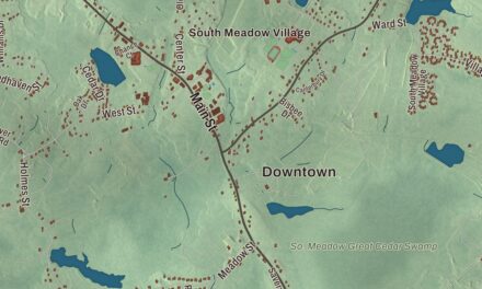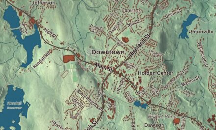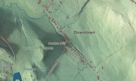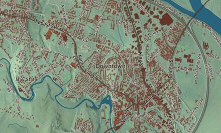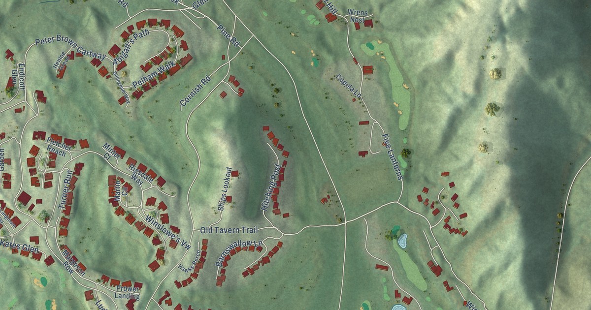
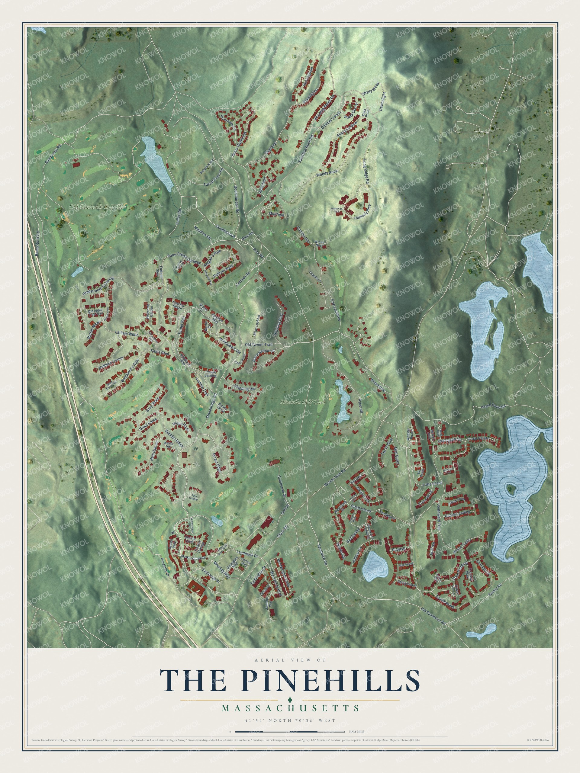
This beautifully detailed map of The Pinehills, Massachusetts was created in 2026 using aerial imagery combined with modern topographical, census, street and landmark data. It's a modern aerial view of The Pinehills in Plymouth County, Massachusetts, that combines modern data with a vintage aesthetic. The roads feature printed names, and if you look closely you can find your exact house accurately shown in its correct location.
Explore an aerial view of The Pinehills, Massachusetts
On this map you'll find Old Sandwich Golf Club, Pinehills Golf Club, Stonebridge Road, Meeting Way, Forest Edge, Pinehills Drive, Clam Pudding, Champlain Circle, Old Tavern Trail, Glen Road, Sanderson Road, Great Kame, and more. Each red shape is a building, so zoom in on the preview and look for yours.
The Pinehills is a community in Plymouth County. The Census Bureau counted 4,515 people here in 2020. The map prints the town name in its title panel, with the coordinates below it.
Take a closer look at The Pinehills map
Names on this map
These names are printed on this map.
Places: Old Sandwich Golf Club and Pinehills Golf Club.
Streets and roads: Stonebridge Road, Meeting Way, Forest Edge, Pinehills Drive, Clam Pudding, Champlain Circle, Old Tavern Trail, Glen Road, Sanderson Road, Great Kame, Mainstone Boulevard, Sandwich Road.
More street names, A to Z
Aberdeen, Abigall's Path, Autumn Glen, Avalon Way, Barnswallow Lane, Beaver Dam Road, Belltree, Benjamin's Gate, Birmingham, Boatwrights Loop, Boulder Ridge, Bradstreete Crossing, Bump Rock Road, Butten Mews, Canoe Landing, Chipping Hill, Clark Road, Climber's Path, Clubhouse Drive, Conifer Hill, Cornish Road, Cottage Cv, Crooked Walk, Cross Wind, Cupola Lane, Dawnslight, Dillingham Way, Dorset Lane, Doublebrook, Doublebrook Road, Endicott Glen, Exchange Street, Five Lanterns, Fletcher Reach, Fox Hollow, Golf Drive, Great Island, Great Pointe, Greengate Way, Grey Shale, Hatherly Rise, Hawks Perch, Hearthstone, Henloe Green, Hidden Cv, Highbank Trail, Hitching Post, Holbeck Corner, Horizon, Inverness Lane, Island Pond Road, Island Rock, Jamison Way, Kates Glen, Kensington, Kettle Vw, Landmark Drive, Latham Wood, Little Island, Long Ridge Road, Looking Glass, Ludlow Trail, Maplewood, Margeson Row, Market Crossing, Martin Circle, Meadow Road, Miller's Joist, Minter Court, Mint Sprig, Misty Knoll, Muirfield, Old Apple Tree Trail, Old Langmore Way, Old Sandwich Road, Painted Cottage, Pelham Walk, Pemberton Trail, Penick Knoll, Peter Brown Cartway, Picket Fence, Pinchion Vale, Pine Cobble, Pine Road, Poets Corner, Portico Way, Prower Landing, Rebecca's Landing, Red Canoe, Redleaf, Rigsdale Way, Ryecroft, Sacrifice Rock Road, Saddleback, Savery Road, Seton Highlands, Shady Wood, Shetland, Shinglewood, Ships Lookout, Shutter Latch, Skipping Stone Road, Sky Reach, Snapping Bow, Southward Trail, Stones Throw, Summerhouse Drive, Symington Drive, Talcot Pines Road, Tenderwood, Trillium Rise, Turner Run, Valley Front, Valley Road, Village Green North, Vista Point, Weathervane, Webster Reach, West Trevor Hill, Whitcomb Garden, White Trellis, Wickertree, Windsong, Winslowe's Vw, Woodsong Drive, Woody Nook, Wrens Nest.
See it on a wall
The The Pinehills map as a framed print. Swipe for more.


Created by KNOWOL in 2026. The buildings are small red shapes, the roads carry their printed names, and shaded relief shows the shape of the land. The title panel reads "AERIAL VIEW OF THE PINEHILLS, MASSACHUSETTS" with 41°54' NORTH 70°36' WEST.
It suits a den, a classroom or a front hall, and it makes a gift for anyone with The Pinehills roots. Open the preview and find the block you know. See sizes and frames for The Pinehills map.