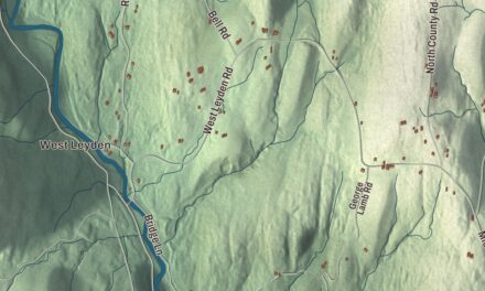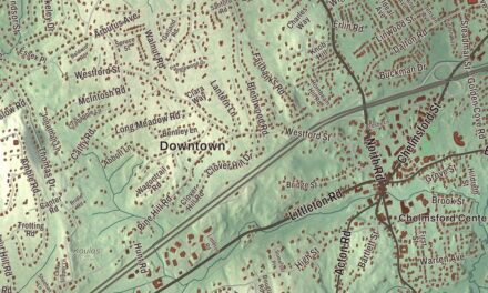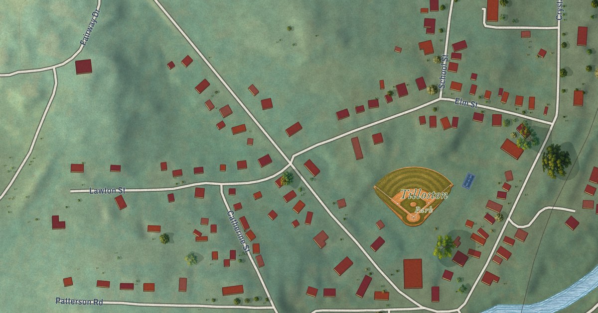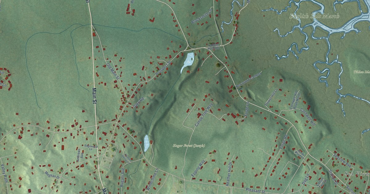
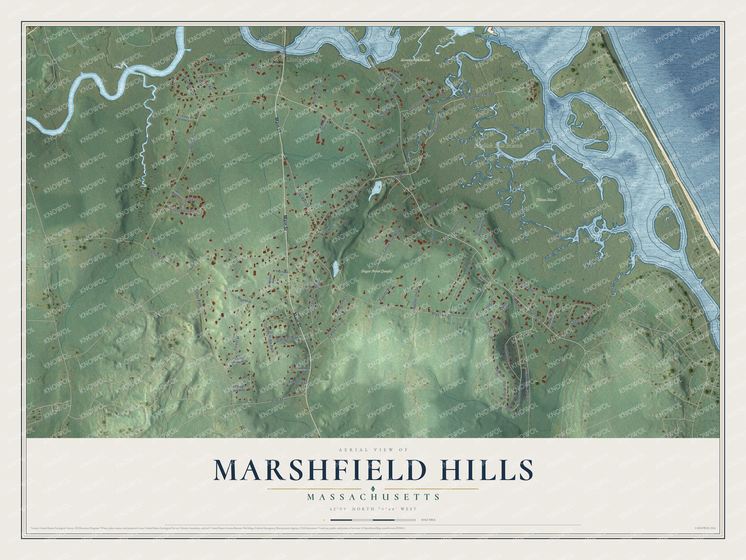
This beautifully detailed map of Marshfield Hills, Massachusetts was created in 2026 using aerial imagery combined with modern topographical, census, street and landmark data. It's a modern aerial view of Marshfield Hills in Plymouth County, Massachusetts, that combines modern data with a vintage aesthetic. The roads feature printed names, and if you look closely you can find your exact house accurately shown in its correct location.
Explore an aerial view of Marshfield Hills, Massachusetts
On this map you'll find English Salt Marsh, Hagar Forest (Joseph), Mantia Salt Marsh, Tilden Island, Sea View, Little Bridge, Main Street, Summer Street, Pinehurst Road, Macombers Ridge, Macombers Way, Pleasant Street, and more. Each red shape is a building, so zoom in on the preview and look for yours.
Marshfield Hills is a community in Plymouth County. The Census Bureau counted 2,491 people here in 2020. The map prints the town name in its title panel, with the coordinates below it.
Take a closer look at the Marshfield Hills map
Names on this map
These names are printed on this map.
Places: English Salt Marsh, Mantia Salt Marsh, Tilden Island, Sea View and Little Bridge.
Streets and roads: Main Street, Summer Street, Pinehurst Road, Macombers Ridge, Macombers Way, Pleasant Street, Spring Street, Highland Street, Forest Street, Old Main Street, Damons Point Road, Valley Path.
More street names, A to Z
Andrews Avenue, Bartletts Island Way, Blacksmith Lane, Canoe Tree Street, Canoe Tree Way, Cantering Close Street, Capt Luther Little Way, Carolyn Circle, Carriage Hill Way, Cedar Acres Road, Cornwell Hill, Cornwell Hill Road North, Cottage Lane, Cotton Tail Lane, Cove Creek Lane, Damon Point Drive, Deerhill Lane, Dog Lane, Eastward Lane, Edgewood Lane, Edmund Road, Epping Way, Flower Hill Lane, Forge Lane, Forge Road, Glen Road, Hannah Brooke Way, Heather Hill Drive, Hen Island Cartway, Heritage Hill, Hidden Acres Circle, Horseshoe Farm Lane, Idyl Wilde Circle, Idywilde Circle, Jedediah's Path, Kimberly Court, Littles Lane, Meghan Drive, Monica Way, North River Drive, Oakleaf Drive, Oakman Way, Pine Street, Pleasant Springs Lane, Prospect Street, Riverside Circle, Robert Avenue, Rugani Avenue, Saddle Brook Path, Seaview Avenue, Station Street, Weir River Lane, Windchime Lane, Winter Wood Lane.
See it on a wall
The Marshfield Hills map as a framed print. Swipe for more.


Created by KNOWOL in 2026. The buildings are small red shapes, the roads carry their printed names, and shaded relief shows the shape of the land. The title panel reads "AERIAL VIEW OF MARSHFIELD HILLS, MASSACHUSETTS" with 42°09' NORTH 70°44' WEST.
Hang it in the hallway, the office or the cabin, or give it to someone who left Marshfield Hills and still calls it home. Open the preview and look for a street you know. See sizes and frames for the Marshfield Hills map.