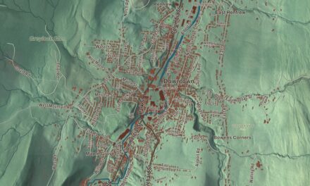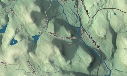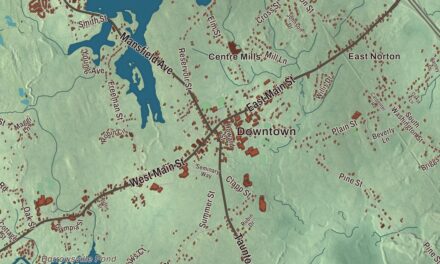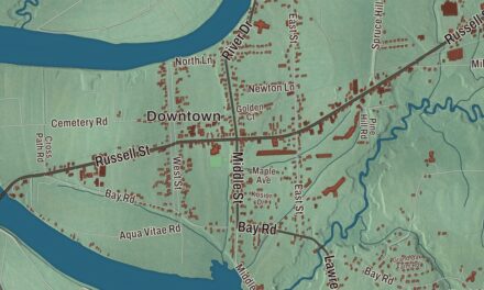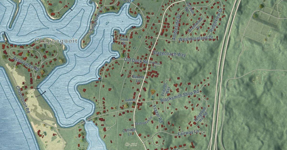
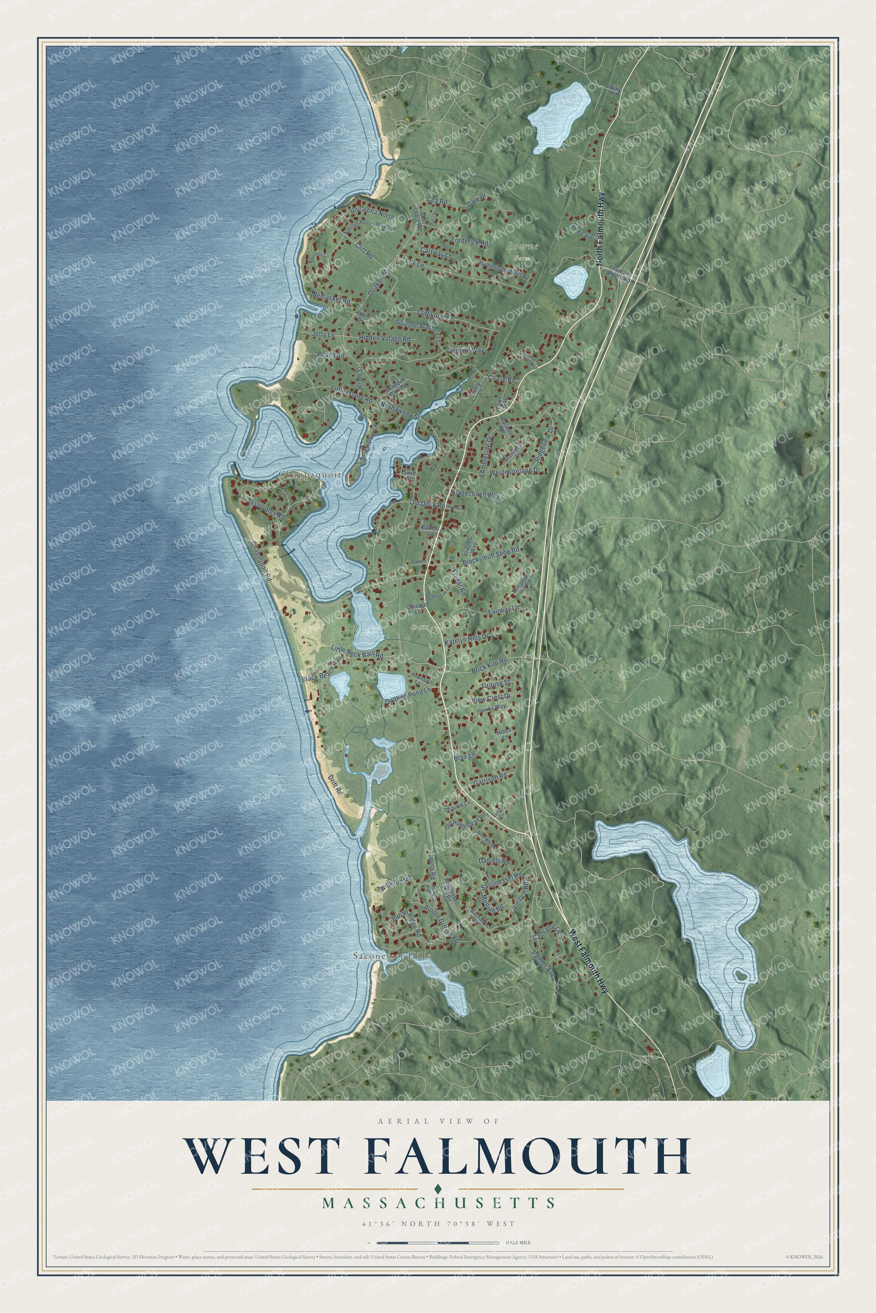
This beautifully detailed map of West Falmouth, Massachusetts was created in 2026 using aerial imagery combined with modern topographical, census, street and landmark data. It's a modern aerial view of West Falmouth in Barnstable County, Massachusetts, that combines modern data with a vintage aesthetic. The roads feature printed names, and if you look closely you can find your exact house accurately shown in its correct location.
Explore an aerial view of West Falmouth, Massachusetts
On this map you'll find Saconesset Hills, Chappaquoit, Bourne Farm, Cr #35, West Falmouth Highway, North Falmouth Highway, Nashawena Street, Uncatena North, Cliff Road, Quaker Road, Chapoquoit Road, Saconesset Road, and more. Each red shape is a building, so zoom in on the preview and look for yours.
West Falmouth is a community in Barnstable County. The Census Bureau counted 1,812 people here in 2020. The map prints the town name in its title panel, with the coordinates below it.
Take a closer look at the West Falmouth map
Names on this map
These names are printed on this map.
Places: Saconesset Hills, Chappaquoit, Bourne Farm and Cr #35.
Streets and roads: West Falmouth Highway, North Falmouth Highway, Nashawena Street, Uncatena North, Cliff Road, Quaker Road, Chapoquoit Road, Saconesset Road, Palmer Avenue, Associates Road, Cliffwood Lane, Drift Road.
More street names, A to Z
Acorn Drive, Ambleside Drive, Antioch Road, Arnold Gifford Road, Bakers Lane, Barnabas Road, Beach Road, Black Beach Road, Blacksmith Shop Road, Blair Lane, Bob-White Lane, Bowman Lane, Brantwood Drive, Brick Kiln Road, Bumblebee Hill Road, Burke Avenue, Cachalot Lane, Carlisle Road, Cartway Lane, Cea Road, Charles Lane, Chase Road, Colonial Way, Cottage Lane, Dale Drive, Daniels Road, Deely Lane, Eric Clauson Lane, Fairway Lane, Fox Lane, Frazar Road, Frederick Road, Friends Way, Gables Lane, Garrison Road, Governor Bradford Lane, Grouse Street, Hawks Way, Hibbs Lane, Hidden Village Road, Hummingbird Hill Road, Indian Ridge Road, Jetty Lane, Katelyn Hills Drive, Little Island Road, Little Neck Bars Road, Lowe Way, Lumbert Lane, Meltiah Road, Myers Road, Naushon Circle, Naushon North, Nemasket Road, Old Dock Road, Old Homestead Road, Old Shore Road, Peace Pipe Road, Quahog Pond Lane, Ridgeview Drive, Seabreeze Lane, Shapquit Bars Road, Snug Harbor Lane, Stagecoach Way, Swift Street, Telegraph Hill Road, Thomas Landers Road, Tupelo Road, Uncatena Road, View Crest Drive, Virtue Circle, Westmoreland Drive, Wigwam Road, Wing Road, Wright Street.
See it on a wall
The West Falmouth map as a framed print. Swipe for more.


Created by KNOWOL in 2026. The buildings are small red shapes, the roads carry their printed names, and shaded relief shows the shape of the land. The title panel reads "AERIAL VIEW OF WEST FALMOUTH, MASSACHUSETTS" with 41°36' NORTH 70°38' WEST.
It suits a den, a classroom or a front hall, and it makes a gift for anyone with West Falmouth roots. Open the preview and find the block you know. See sizes and frames for the West Falmouth map.