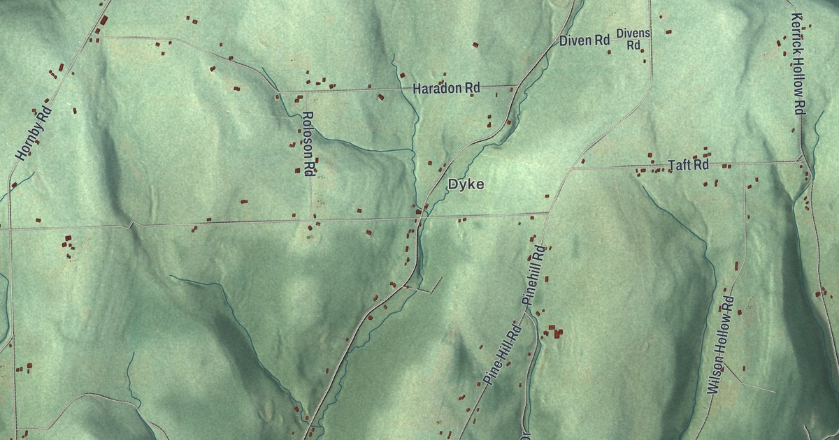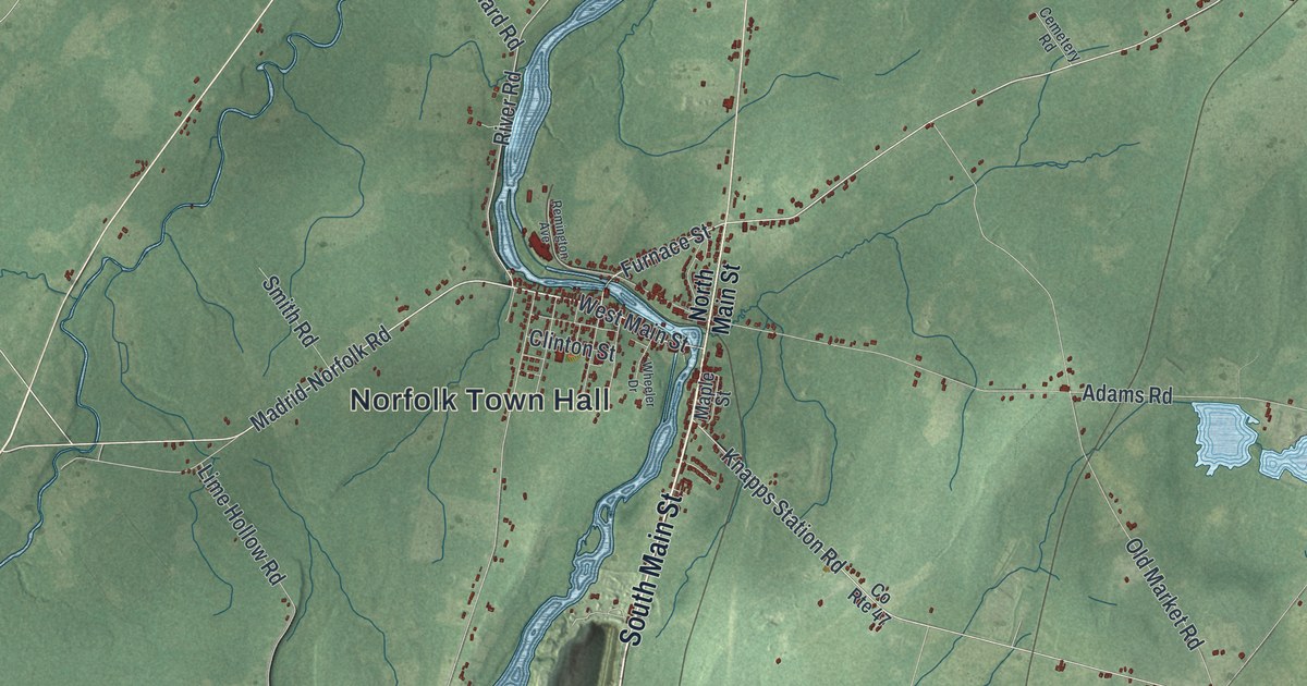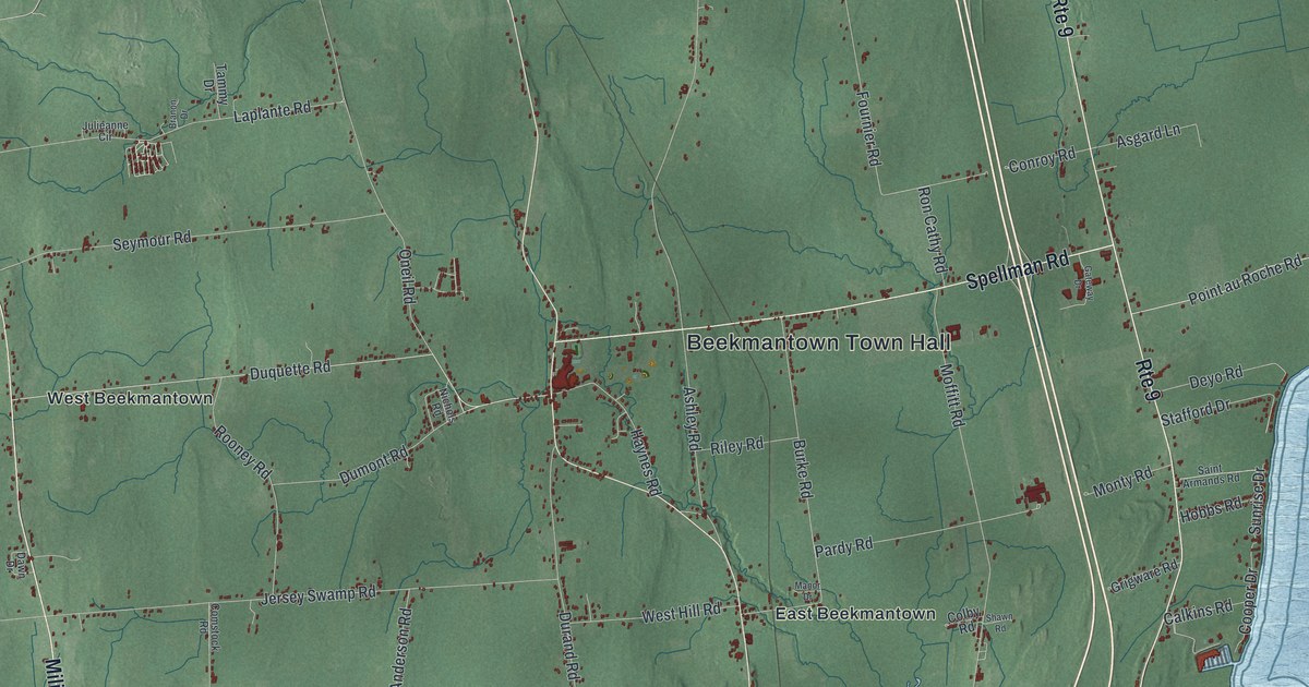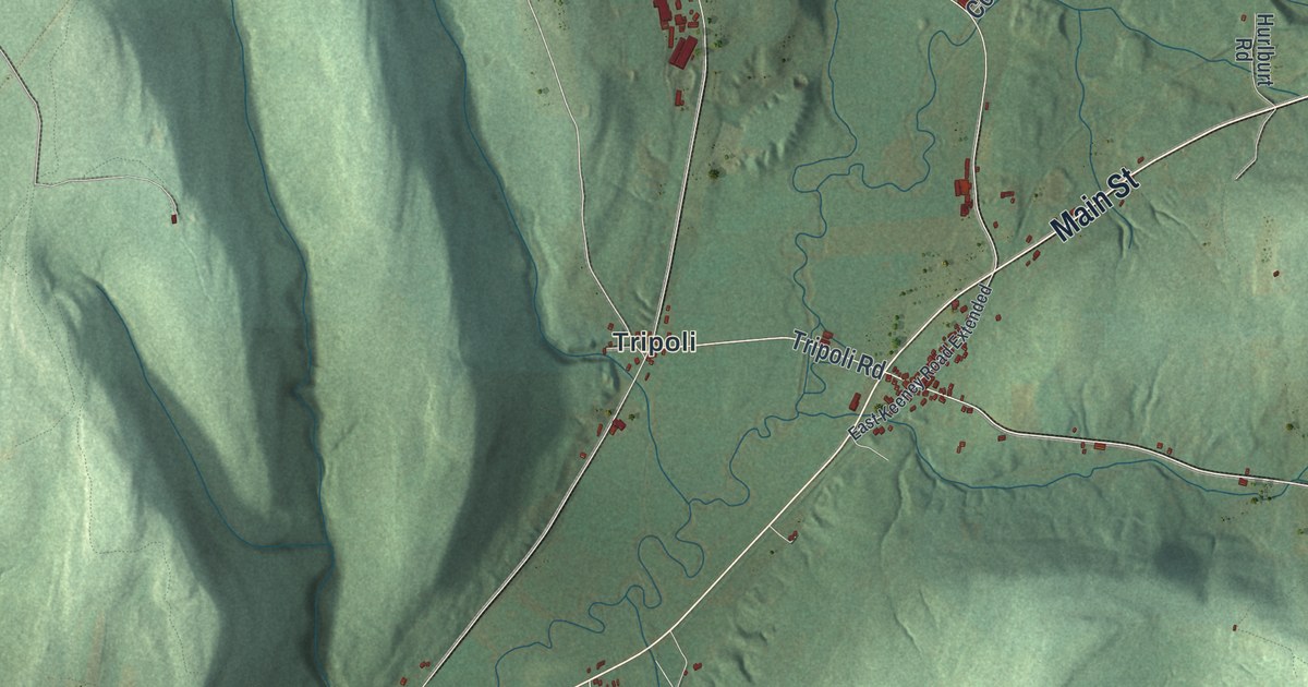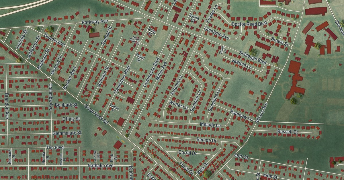
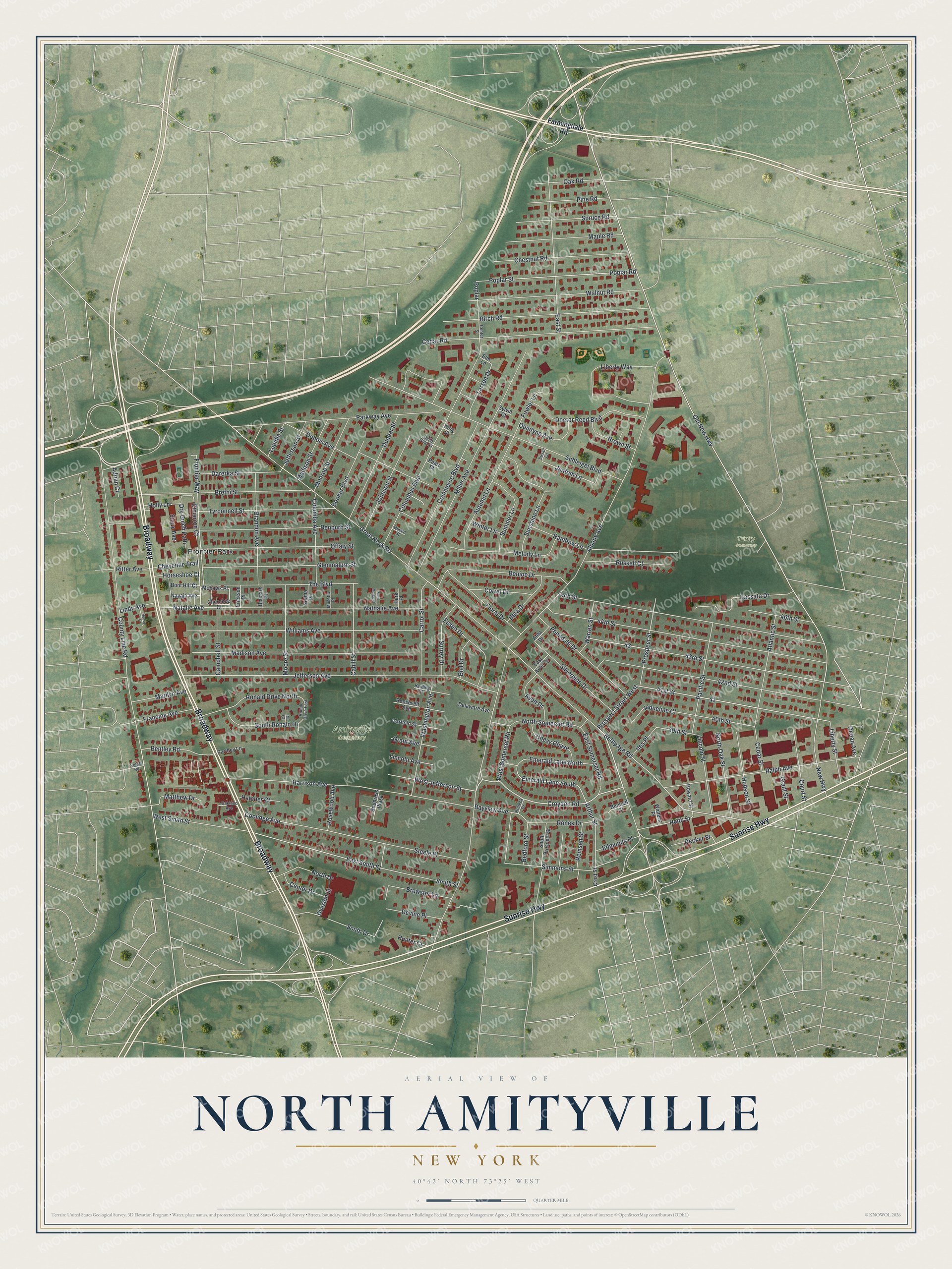
This beautifully detailed map of North Amityville, New York was created in 2026 using aerial imagery combined with modern topographical, census, street and landmark data. It's a modern aerial view of North Amityville in Suffolk County, New York, that combines modern data with a vintage aesthetic. The roads feature printed names, and if you look closely you can find your exact house accurately shown in its correct location.
Explore an aerial view of North Amityville, New York
On this map you'll find Amityville Cemetery, Trinity Cemetery, Frontier Park, Broadway, Sunrise Highway, Cimarron Court, Prospect Street West, Croydon Road, Old New Highway, 41st Street, Bethpage Road, West Jefferson Street, and more. Each red shape is a building, so zoom in on the preview and look for yours.
North Amityville is a community in Suffolk County. The Census Bureau counted 18,643 people here in 2020. The map prints the town name in its title panel, with the coordinates below it.
Take a closer look at the North Amityville map
Names on this map
These names are printed on this map.
Places: Amityville Cemetery, Trinity Cemetery and Frontier Park.
Streets and roads: Broadway, Sunrise Highway, Cimarron Court, Prospect Street West, Croydon Road, Old New Highway, 41st Street, Bethpage Road, West Jefferson Street, New Highway, Jeatom Lane, Frontier Way.
More street names, A to Z
39th Street, 40th Street, 42nd Street, 43rd Street, 44th Street, 45th Street, 46th Street, Adrian Court, Albany Avenue, Andpress Plaza, Arthur Street, Atlantic Street, Atna Drive, Autumn Lane, Avon Drive, Bayview Avenue, Bedford Street, Benburb Street, Benjoe Drive, Bennett Court, Bentley Road, Beta Drive, Biel Drive, Birch Road, Bismark Place, Booker Boulevard, Boot Hill Court, Brandon Avenue, Brefni Street, Brewster Lane, Brown Street, Cahill Street, Campbell Street, Carrol Street, Cassata Drive, Cedar Road, Cedar Street, Center Drive, Center Street, Cherokee Court, Chestnut Road, Chevy Chase, Cheyenne Trail, Columba Avenue, Columbus Boulevard, Commerce Boulevard, Coolidge Avenue, Corral Drive, County Line Road, Court Street, Crest Street, Darerka Street, Decker Street, Delaware Avenue, Dello Gillo Court, Devine Place, Division Street, Doctor Reed Boulevard, Dry Gulch Path, Dubois Avenue, Dunbar Street, East Avon Drive, East Smith Street, East Somerset Road, East Street, Edmunds Place, Elm Lane, Emerald Lane North, Emerald Lane South, Erickson Place, Essen Drive, Farmingdale Road, Floral Drive, Fowler Lane, Francine Avenue, Garfield Street, Glenmalure Street, Grant Avenue, Grant Street, Great Neck Road, Harding Street, Harrison Avenue, Hatcher Court, Holly Lane, Hoover Street, Horseshoe Court, Howard Street, Hudson Street, Hunter Court, Iles Place, Ira Court, Jaqueline Court, Jefferson Avenue, Jefferson Street, Johnson Street, King Street, Larsen Drive, Liberty Street, Liberty Way, Lincoln Avenue, Lincoln Street, Lindy Avenue, Lupidia Street, Madison Avenue, Madison Street, Maple Road, Marilyn Avenue, Matthew Drive, Melody Lane, Miller Avenue, Mohawk Place, Monroe Street, Moore Street, Musette Place, Natalie Avenue, Nathalie Avenue, Navajo Avenue, Norma Place, North Drive, North Oak Street, North Somerset Road, Oakland Avenue, Oak Road, Ocean Avenue, Offaly Street, Pacific Street, Park Place, Parkway Avenue, Parthey Lane, Pearl Street, Penndale Drive, Pine Road, Poplar, Poplar Road, Poplar Street, Prospect Street, Queen Street, Quintyne Avenue, Rainbow Lane, Ralph Avenue, Reith Street, Remsen Street, Ritter Avenue, Ronald Drive East, Ronald Drive North, Roneck Drive, Ronek Drive, Roosevelt Avenue, Rosewood Avenue, Russell Court, Saint Marks Place, Schleigel Boulevard, Silverpine Drive, Simmons Street, Sioux Avenue, Smith Street, Soloff Road, South Drive, South Prospect Street, South Ronald Drive, Spruce Road, Steele Place, Summer Lane, Sunshine Lane, Surrey Drive, Susan Lane, Sylvia Court, The Boulevard, Tyrconnell Street, Walnut Road, Walters Place, Warren Street, Washington Avenue, West Smith Street, West Somerset Road, Williams Avenue, Winter Lane.
See it on a wall
The North Amityville map as a framed print. Swipe for more.


Created by KNOWOL in 2026. The buildings are small red shapes, the roads carry their printed names, and shaded relief shows the shape of the land. The title panel reads "AERIAL VIEW OF NORTH AMITYVILLE, NEW YORK" with 40°42' NORTH 73°25' WEST.
It suits a den, a classroom or a front hall, and it makes a gift for anyone with North Amityville roots. Open the preview and find the block you know. See sizes and frames for the North Amityville map.