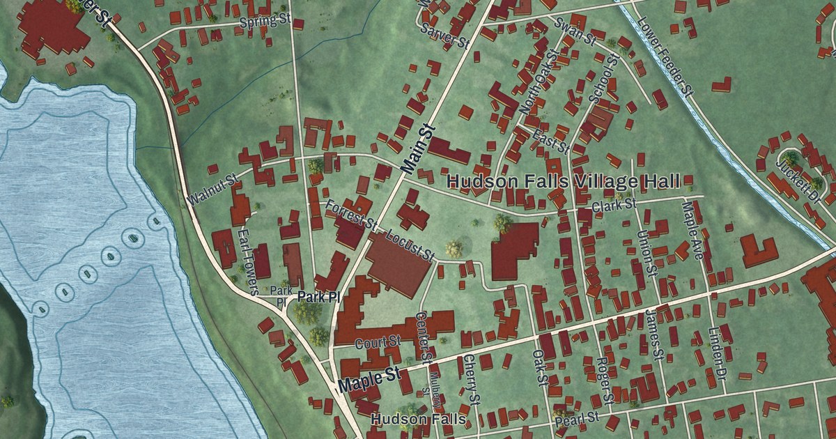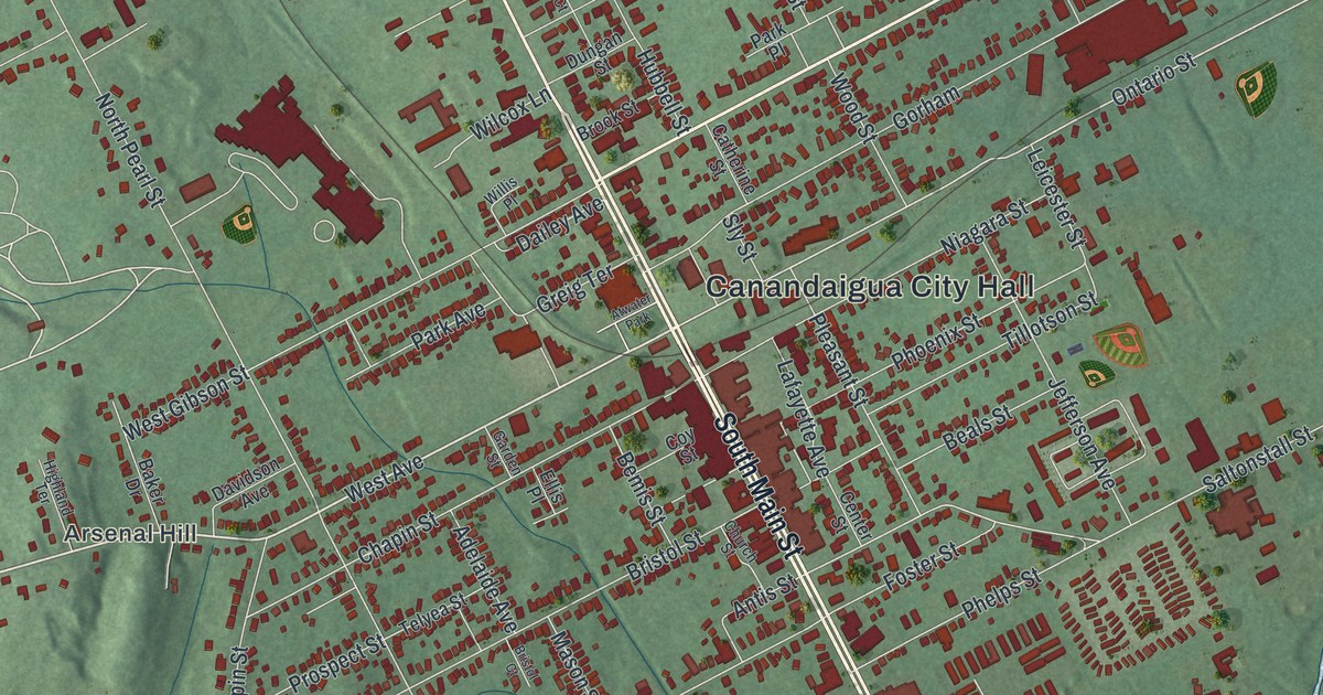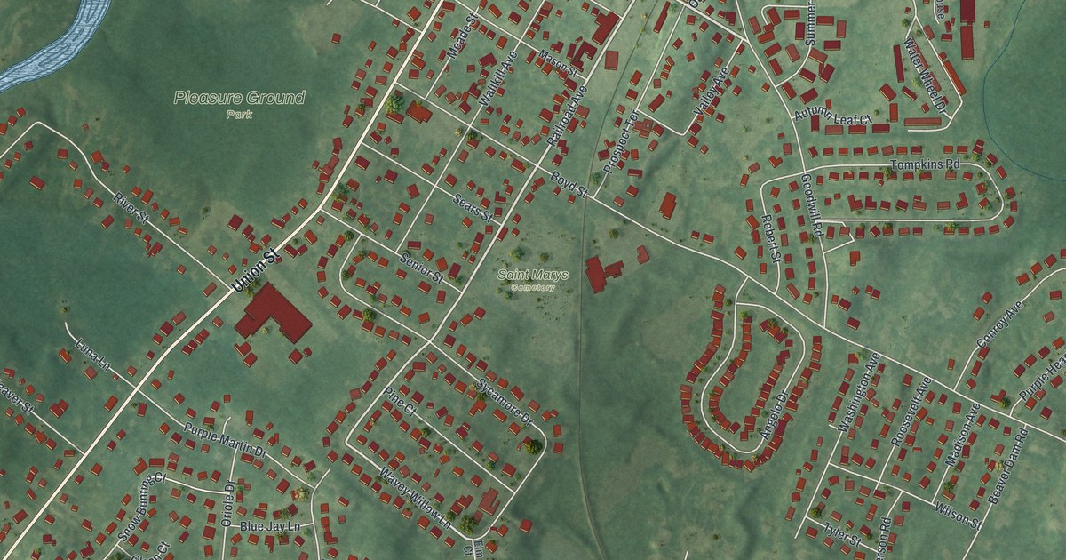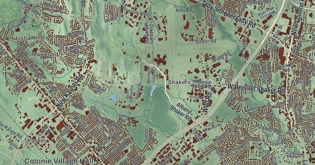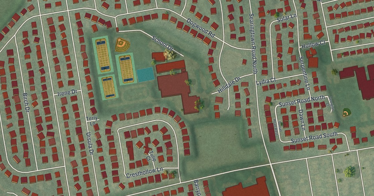
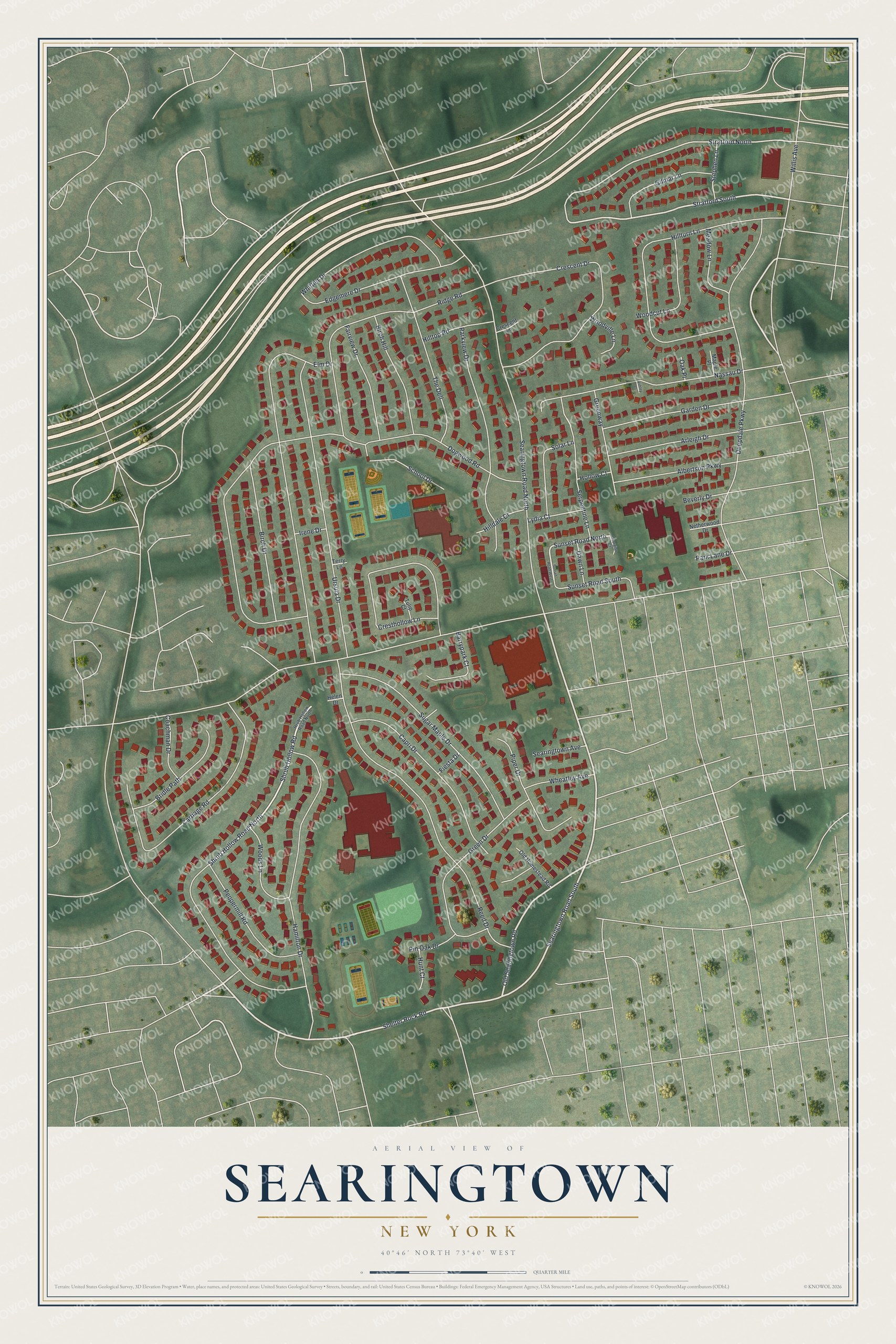
This beautifully detailed map of Searingtown, New York was created in 2026 using aerial imagery combined with modern topographical, census, street and landmark data. It's a modern aerial view of Searingtown in Nassau County, New York, that combines modern data with a vintage aesthetic. The roads feature printed names, and if you look closely you can find your exact house accurately shown in its correct location.
Explore an aerial view of Searingtown, New York
On this map you'll find Shelter Rock Road, Searingtown Road South, Old Searingtown Road, Shrub Hollow Road North, Stratford South, Sunset Road North, Stratford North, Dogwood Road, Searingtown Road North, Shrub Hollow Road, Deepdale Parkway, Elm Drive, and more. Each red shape is a building, so zoom in on the preview and look for yours.
Searingtown is a community in Nassau County. The Census Bureau counted 5,044 people here in 2020. The map prints the town name in its title panel, with the coordinates below it.
Take a closer look at the Searingtown map
Names on this map
These names are printed on this map.
Streets and roads: Shelter Rock Road, Searingtown Road South, Old Searingtown Road, Shrub Hollow Road North, Stratford South, Sunset Road North, Stratford North, Dogwood Road, Searingtown Road North, Shrub Hollow Road, Deepdale Parkway, Elm Drive.
More street names, A to Z
Albertson Parkway, Arleigh Drive, Ashley Court, Barrypark Court, Beverly Drive, Birch Drive, Birch Hill, Bridle Path, Capri Drive, Carriage Road, Coachman Drive, Crescent Drive, Crescent Lane, Cresthollow Lane, Dawn Lane, Edgemere Drive, Fairview Drive, Fiesta Drive, Garden Drive, Georgian Court, Gilmar Lane, Green Drive, Greenway, Hamilton Drive, Helen Drive, Hilldale Drive, Hilltop Road, Hillturn Lane, Hollow Court, Hrub Hollow Road North, Hunt Court, Irene Drive, Lydia Court, Maple Place, Meadow Lane, Nassau Drive, Netherwood Drive, Oak Place, Old Homestead Road, Park Lane Drive, Parkview Drive, Peppermill Road, Pin Oak Drive, Piper Drive, Reed Drive, Ridge Road, School Drive, Searingtown Avenue, Serpentine Lane, Solar Lane, Stephen Lane, Sugar Maple Drive, Sunset Road South, Sunset Road West, Terry Lane, The Dell, Tulip Court, Ursula Drive, Wheatley Avenue, Whittier Drive, Willis Avenue, Woodcut Lane, Woods Lane, Woodville Lane.
See it on a wall
The Searingtown map as a framed print. Swipe for more.


Created by KNOWOL in 2026. The buildings are small red shapes, the roads carry their printed names, and shaded relief shows the shape of the land. The title panel reads "AERIAL VIEW OF SEARINGTOWN, NEW YORK" with 40°46' NORTH 73°40' WEST.
It looks right in a kitchen, an office or a den, and it's a gift for anyone who grew up in Searingtown or moved away. Open the preview and find your street. See sizes and frames for the Searingtown map.