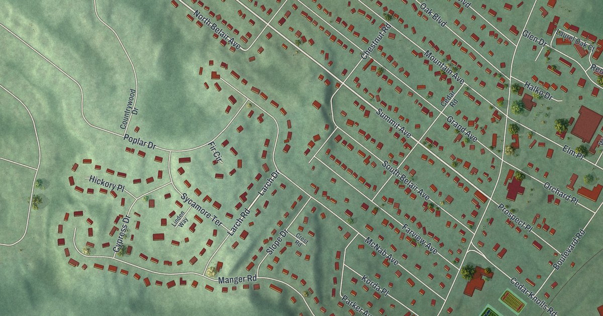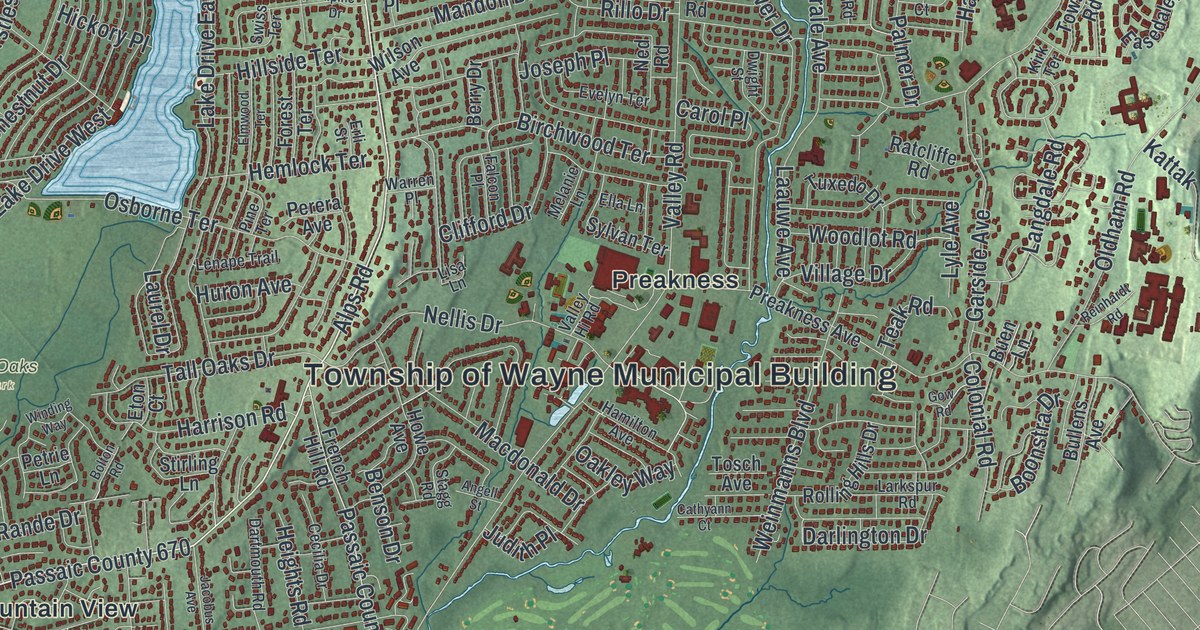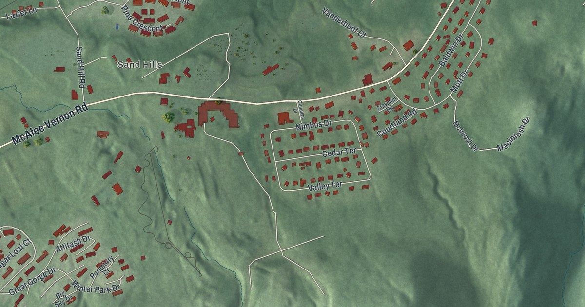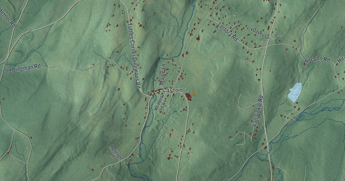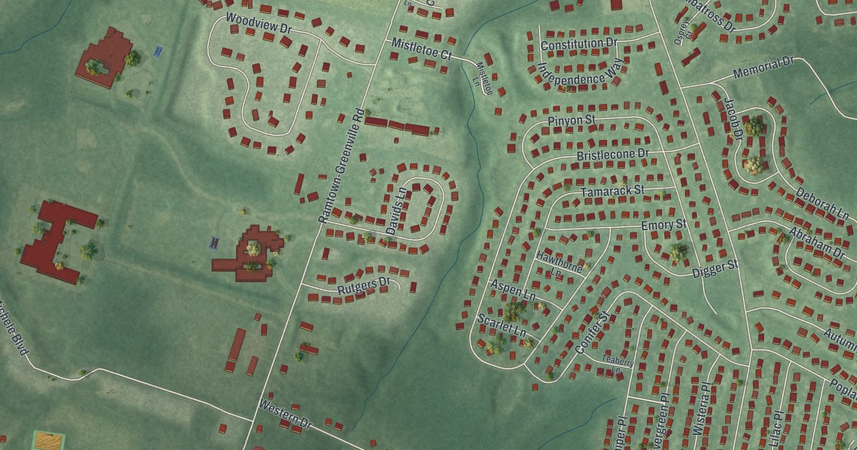
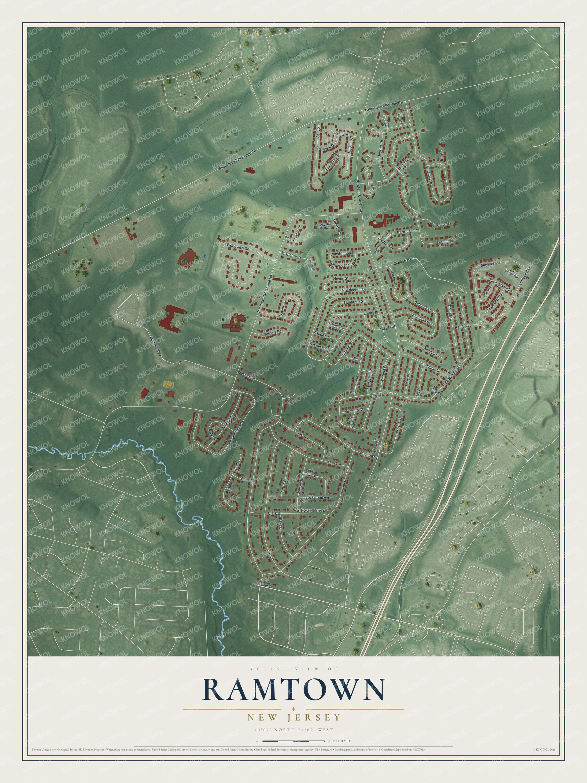
This beautifully detailed map of Ramtown, New Jersey was created in 2026 using aerial imagery combined with modern topographical, census, street and landmark data. It's a modern aerial view of Ramtown in Monmouth County, New Jersey, that combines modern data with a vintage aesthetic. The roads feature printed names, and if you look closely you can find your exact house accurately shown in its correct location.
Explore an aerial view of Ramtown, New Jersey
On this map you'll find Parkway Pines, Allenwood Lakewood Road, Newtons Corner Road, Ramtown-Greenville Road, Pine Needle Street, Western Drive, Michele Boulevard, Bristlecone Drive, Sunset Drive, Lorelei Drive, Moses Milch Drive, Woodview Drive, and more. Each red shape is a building, so zoom in on the preview and look for yours.
Ramtown is a community in Monmouth County. The Census Bureau counted 6,329 people here in 2020. The map prints the town name in its title panel, with the coordinates below it.
Take a closer look at the Ramtown map
Names on this map
These names are printed on this map.
Places: Parkway Pines.
Streets and roads: Allenwood Lakewood Road, Newtons Corner Road, Ramtown-Greenville Road, Pine Needle Street, Western Drive, Michele Boulevard, Bristlecone Drive, Sunset Drive, Lorelei Drive, Moses Milch Drive, Woodview Drive, Arlyn Drive.
More street names, A to Z
Abraham Drive, Alan Terrace, Albatross Drive, Amy Court, Apple Blossom Lane, Aspen Lane, Autumn Drive, Bayberry Court, Blake Drive, Bronia Street, Burton Drive, Cherry Lane, Clark Drive, Concetta Court, Conifer Street, Constitution Drive, Davids Lane, Deborah Lane, Digger Street, Emory Street, Evergreen Place, Fella Street, Gina Street, Gladiola Drive, Hawthorne Lane, Higgins Court, Howell Court, Independence Way, Inkberry Lane, Iris Court, Ivy Place, Jacob Drive, Jessica Drive, Joshua Court, Juniper Place, Lakewood Allenwood Road, Laurel Crest Drive, Lilac Place, Little Leaf Lane, Lockwood Avenue, Loretta Court, Lusia Court, Lynn Court, Maria Lane, Maypink Lane, Memorial Drive, Mistletoe Court, Mistletoe Lane, Netty Street, Oak Terrace, Orchard Court, Osprey Court, Partridge Lane, Patricia Court, Paulette Lane, Pine Cone Lane, Pinyon Street, Poplar Street, Red Bud Lane, Roberta Drive, Rutgers Drive, Sally Street, Scarlet Lane, Silver Maple Lane, Snowberry Lane, Stephen Road, Tamarack Street, Teaberry Lane, Tracy Court, Tulip Court, Virginia Drive, Vivian Court, Warren Point Court, William Drive, Wilson Drive, Wisteria Place.
See it on a wall
The Ramtown map as a framed print. Swipe for more.


Created by KNOWOL in 2026. The buildings are small red shapes, the roads carry their printed names, and shaded relief shows the shape of the land. The title panel reads "AERIAL VIEW OF RAMTOWN, NEW JERSEY" with 40°07' NORTH 74°09' WEST.
It suits a den, a classroom or a front hall, and it makes a gift for anyone with Ramtown roots. Open the preview and find the block you know. See sizes and frames for the Ramtown map.