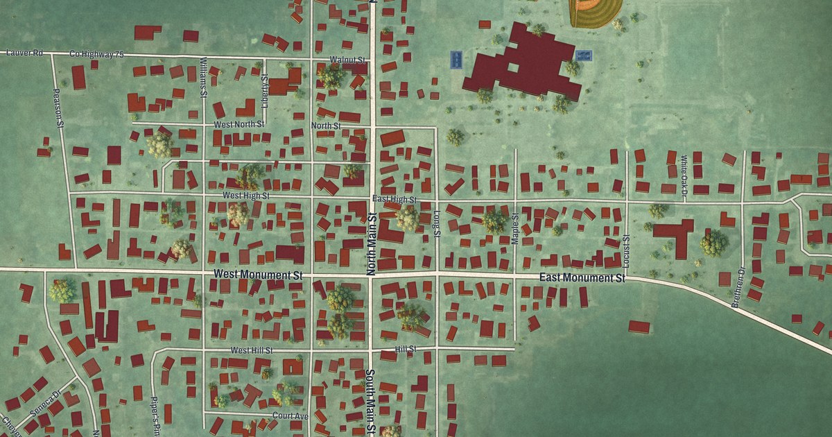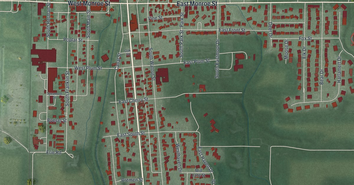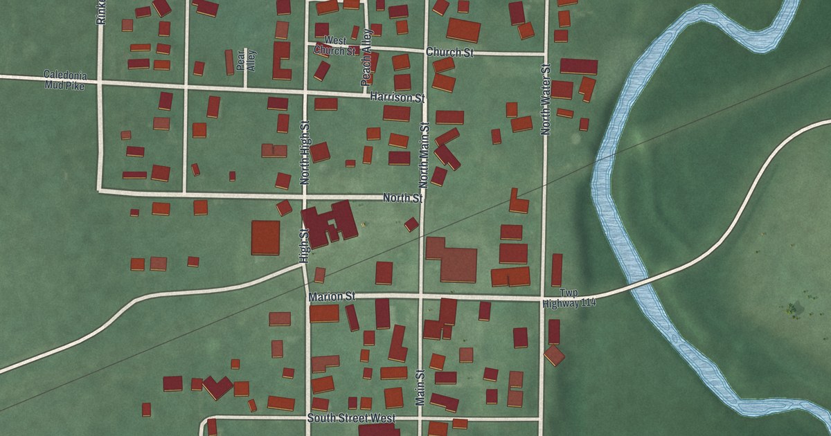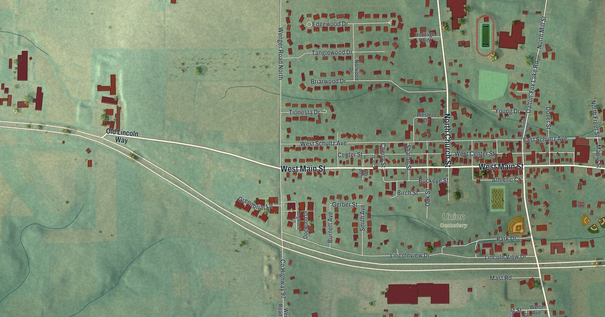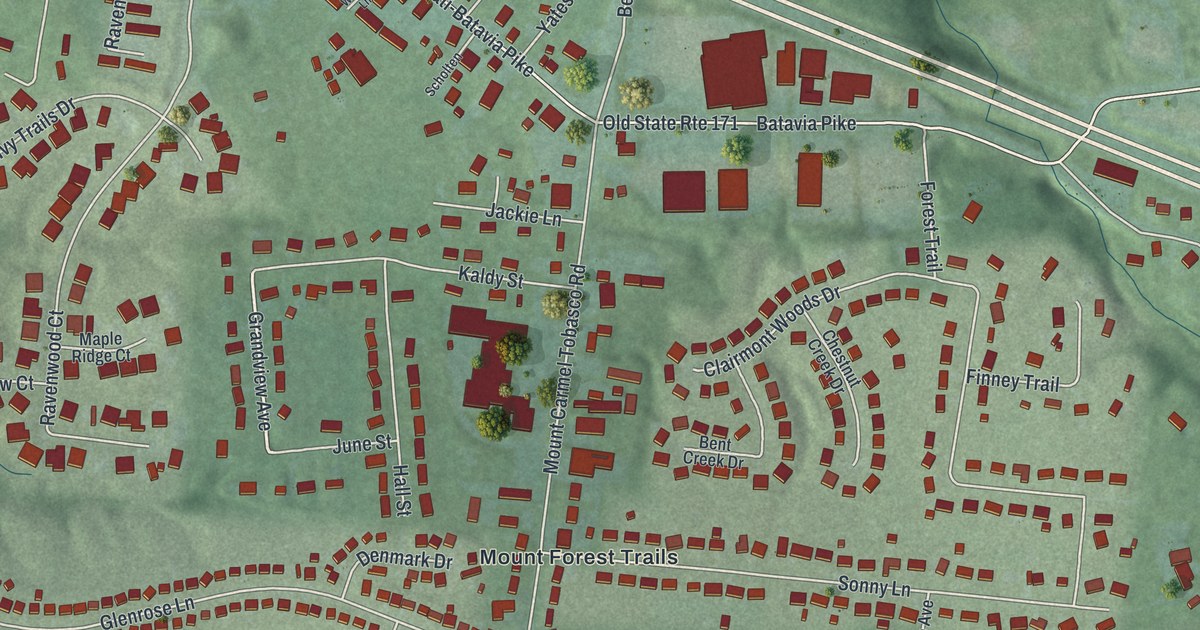
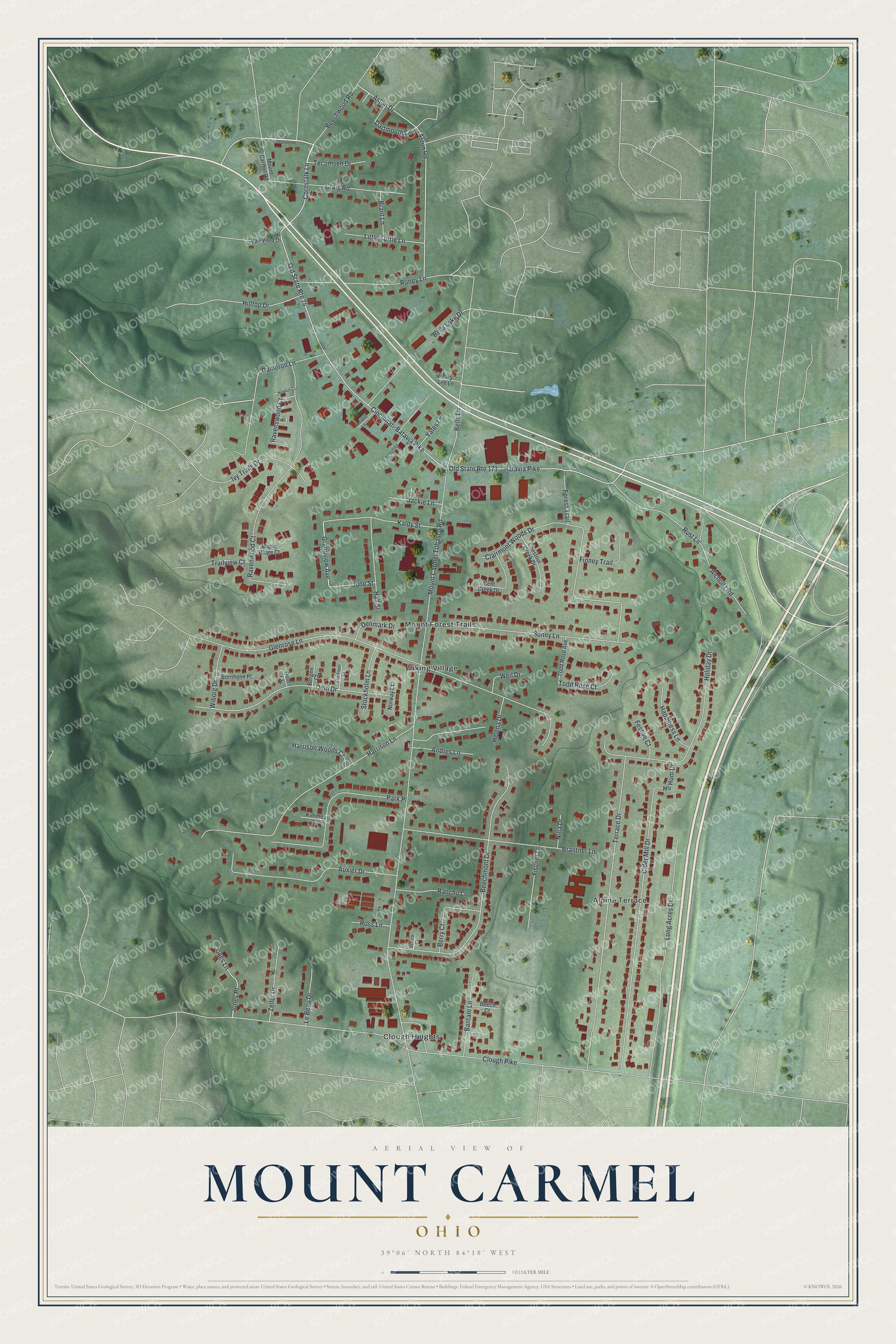
This beautifully detailed map of Mount Carmel, Ohio was created in 2026 using aerial imagery combined with modern topographical, census, street and landmark data. It's a modern aerial view of Mount Carmel in Clermont County, Ohio, that combines modern data with a vintage aesthetic. The roads feature printed names, and if you look closely you can find your exact house accurately shown in its correct location.
Explore an aerial view of Mount Carmel, Ohio
On this map you'll find Alpine Terrace, Clough Heights, Mount Forest Trails, Viking Village, Beechwood Road, Cornstalk Lane, Dameron Lane, Grandview Avenue, Mount Carmel Tobasco Road, Clough Pike, Batavia Pike, Cincinnati-Batavia Pike, and more. Each red shape is a building, so zoom in on the preview and look for yours.
Here is a piece of Mount Carmel history. Mount Carmel grew up along the Batavia turnpike near the Hamilton County line, in two parts known as East and West Mount Carmel. No village was ever formally laid out. Between the two parts, John Whetston kept a famous tavern where stagecoaches changed horses and long lines of loaded teams stayed the night. Chair making was once an important industry there, with a number of shops employing 30 hands in all. That's from the 1880 History of Clermont County.
Mount Carmel is a community in Clermont County. The Census Bureau counted 4,828 people here in 2020. The map prints the town name in its title panel, with the coordinates below it.
Take a closer look at the Mount Carmel map
Names on this map
These names are printed on this map.
Places: Alpine Terrace, Clough Heights, Mount Forest Trails and Viking Village.
Streets and roads: Beechwood Road, Cornstalk Lane, Dameron Lane, Grandview Avenue, Mount Carmel Tobasco Road, Clough Pike, Batavia Pike, Cincinnati-Batavia Pike, Old State Route 171, Old State Route 74, Glenrose Lane, Terrace Drive.
More street names, A to Z
Aicholtz Road, Andres Lane, Aston Drive, Aston Road, Auxier Drive, Bantam Lane, Beech Court, Beechmont Drive, Bells Lake Drive, Bells Lane, Bent Creek Drive, Bergen Court, Berry Court, Bornholm Place, Brant Lane, Brantner Lane, Brisco Court, Chestnut Creek Drive, Cider Mill Drive, Clairmont Woods Drive, Craig Road, Dartmouth Circle, Denmark Drive, Erickson Court, Festive Court, Finney Trail, Fischer Lane, Forest Trail, Hall Street, Happiness Lane, Harrison Lane, Harrison Woods Court, Helena Drive, Hilltop Drive, Ho Hum Drive, Holiday Drive, Ivy Trails Drive, Jackie Lane, Jones Lane, Jones Place, June Street, Kaldy Street, Kimmey Court, Le Beau Drive, Little Turtle Lane, Long Acres Drive, Maple Ridge Court, Mary Lee Lane, Mount Carmel Road, Newlun Court, Nina Drive, Norway Court, Odin Drive, Old Beechwood Road, Oslo Court, Park Place, Rancho Lane, Ravenswood Court, Ravenwood Court, Roney Lane, Ross Lane, Rust Lane, Scholten, Sonny Lane, Stockholm Lane, Tecumseh Drive, Todd Rose Avenue, Todd Rose Court, Trailview Court, Van Vista Drive, Weil Drive, Weiner Lane, Wiborg Drive, Yates Lane, Zeller Drive.
See it on a wall
The Mount Carmel map as a framed print. Swipe for more.


Created by KNOWOL in 2026. The buildings are small red shapes, the roads carry their printed names, and shaded relief shows the shape of the land. The title panel reads "AERIAL VIEW OF MOUNT CARMEL, OHIO" with 39°06' NORTH 84°18' WEST.
It suits a den, a classroom or a front hall, and it makes a gift for anyone with Mount Carmel roots. Open the preview and find the block you know. See sizes and frames for the Mount Carmel map.