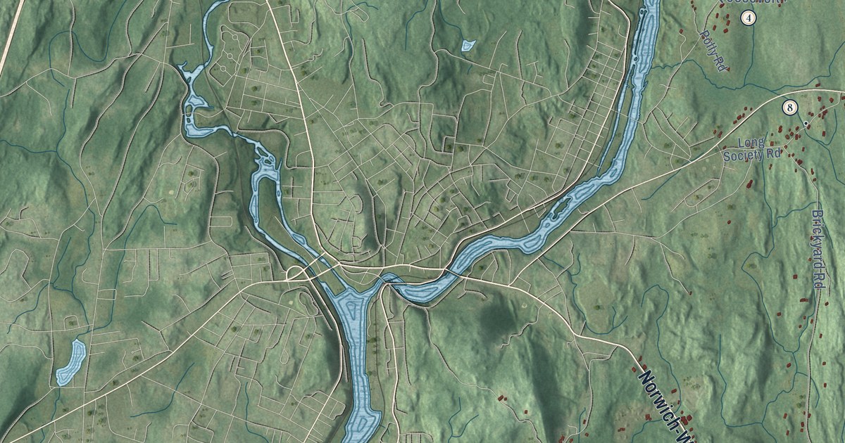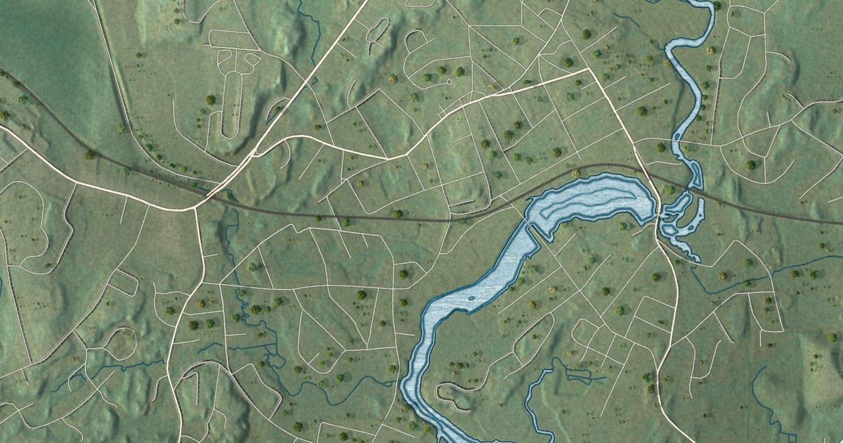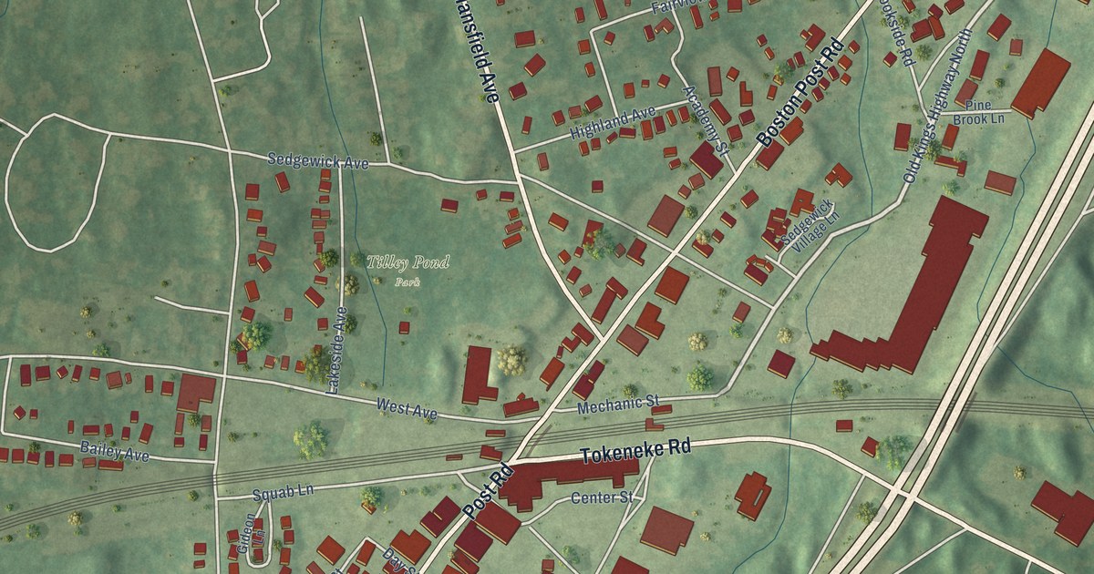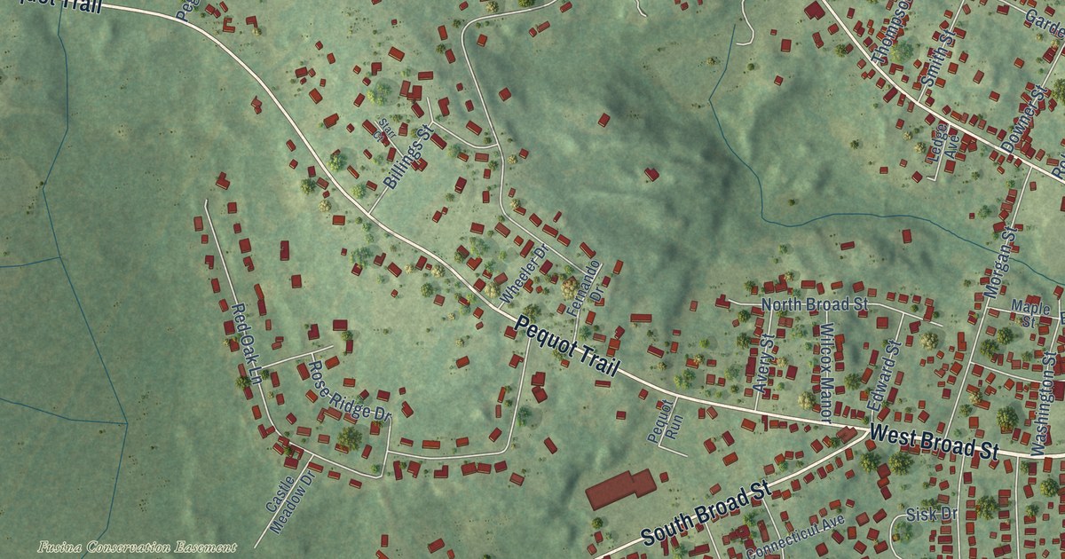
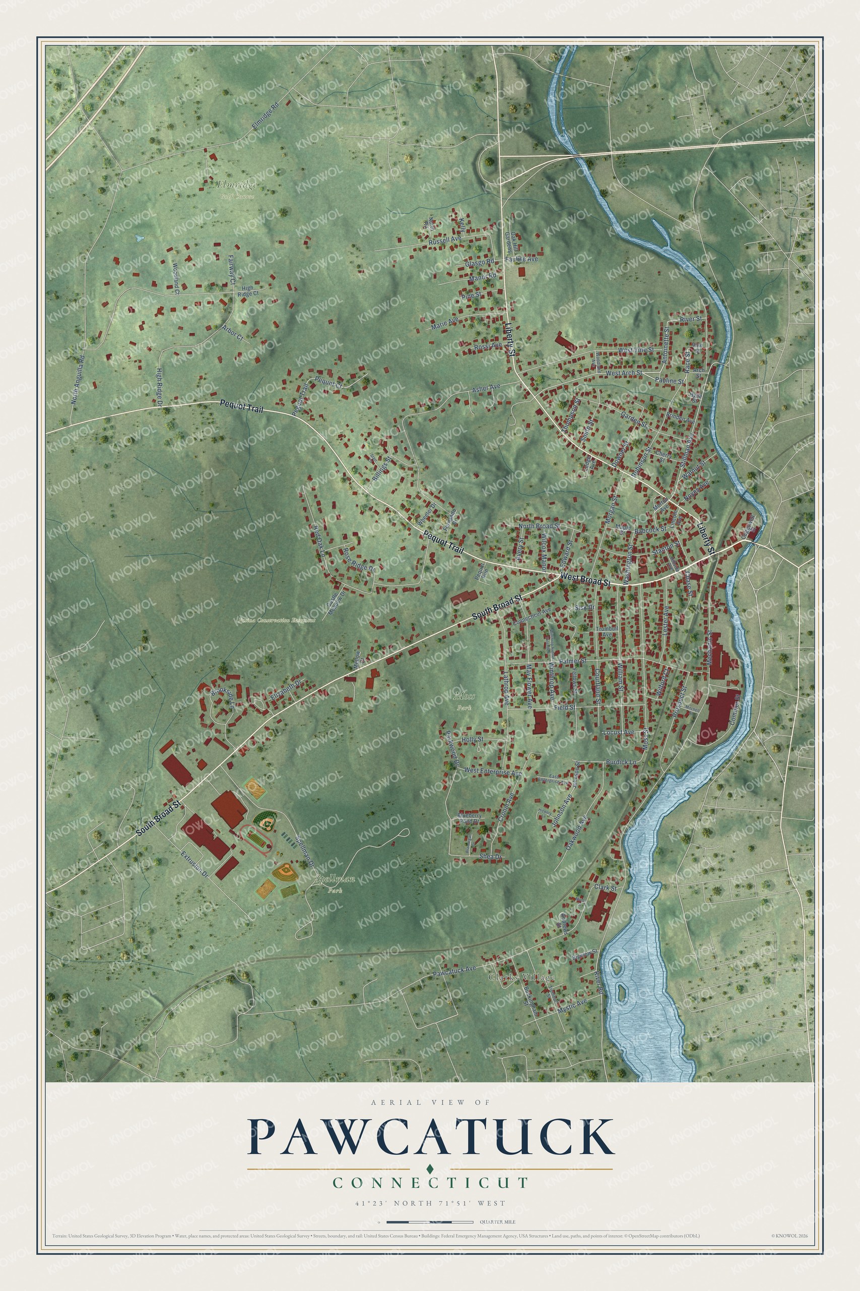
This beautifully detailed map of Pawcatuck, Connecticut was created in 2026 using aerial imagery combined with modern topographical, census, street and landmark data. It's a modern aerial view of Pawcatuck in Southeastern Connecticut Planning Region, Connecticut, that combines modern data with a vintage aesthetic. The roads feature printed names, and if you look closely you can find your exact house accurately shown in its correct location.
Explore an aerial view of Pawcatuck, Connecticut
On this map you'll find Clarks Village, Elmridge Golf Course, Fusina Conservation Easement, Moss Park, Spellman Park, West Broad Street, Pequot Trail, South Broad Street, Liberty Street, Antoinette Street, Pauline Street, Race Street, and more. Each red shape is a building, so zoom in on the preview and look for yours.
Pawcatuck is a community in Southeastern Connecticut Planning Region. The Census Bureau counted 5,433 people here in 2020. Pawcatuck sits about 4 miles northeast of Stonington, 5 miles east of Mystic and 7 miles east of Old Mystic. The map prints the town name in its title panel, with the coordinates below it.
Take a closer look at the Pawcatuck map
Names on this map
These names are printed on this map.
Places: Clarks Village, Elmridge Golf Course, Fusina Conservation Easement, Moss Park and Spellman Park.
Streets and roads: West Broad Street, Pequot Trail, South Broad Street, Liberty Street, Antoinette Street, Pauline Street, Race Street, Stillman Avenue, River Street, West Arch Street, Mechanic Street, High Ridge Drive.
More street names, A to Z
Andrews Street, Arbor Court, Arch Street, Asher Avenue, Avery Street, Babcock Street, Bigelow Street, Billings Street, Blueberry Pond Drive, Brannegan Drive, Brinden Avenue, Brookside Lane, Buckingham Street, Burdick Lane, Castle Meadow Drive, Chase Street, Cherry Street, Clark Street, Coggswell Street, Commer Street, Connecticut Avenue, Courtland Street, Cronin Avenue, Downer Street, East Enterprise Avenue, Edward Street, Elizabeth Drive, Elmridge Road, Extrusion Drive, Fairway Court, Faulise Avenue, Fellows Street, Fernando Drive, Field Street, Garden Street, Glasgo Road, Hickory Lane, High Ridge Court, Hillside Avenue, Holly Street, Hyde Street, Johnson Avenue, Johnson Street, Kelly, Lathrop Avenue, Ledge Avenue, Lester Avenue, Lincoln Avenue, Locust Avenue, Manor Road, Maple Street, Marie Avenue, May Flower Avenue, Mellow Court, Minor Street, Mitchell Street, Morgan Street, Morton Avenue, Moss Street, Mystic Avenue, North Anguilla Road, North Broad Street, North Road, Noyes Avenue, Oak Hill Gardens, Oakwood Avenue, Palmer Street, Parkwood Drive, Pawcatuck Avenue, Peguot Trail, Pequot Court, Pequot Run, Pine Street, Prospect Street, Red Oak Lane, River Road, Robinson Street, Rose Ridge Drive, Rossi Avenue, Russell Avenue, Shea Drive, Sisk Drive, Smith Street, Spellman Drive, Stanton Street, Starr Court, Thompson Street, Trumbull Avenue, Trumbull Street, Vine Street, Walnut Street, Washington Street, West Enterprise Avenue, West Vine Street, Wheeler Drive, Wilcox Manor, Wilford Court, William Street, Winthrop Avenue, Winthrop Avenue Extended, Woodland Avenue, Woodland Court.
See it on a wall
The Pawcatuck map as a framed print. Swipe for more.


Created by KNOWOL in 2026. The buildings are small red shapes, the roads carry their printed names, and shaded relief shows the shape of the land. The title panel reads "AERIAL VIEW OF PAWCATUCK, CONNECTICUT" with 41°23' NORTH 71°51' WEST.
Hang it in the hallway, the office or the cabin, or give it to someone who left Pawcatuck and still calls it home. Open the preview and look for a street you know. See sizes and frames for the Pawcatuck map.