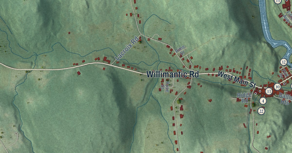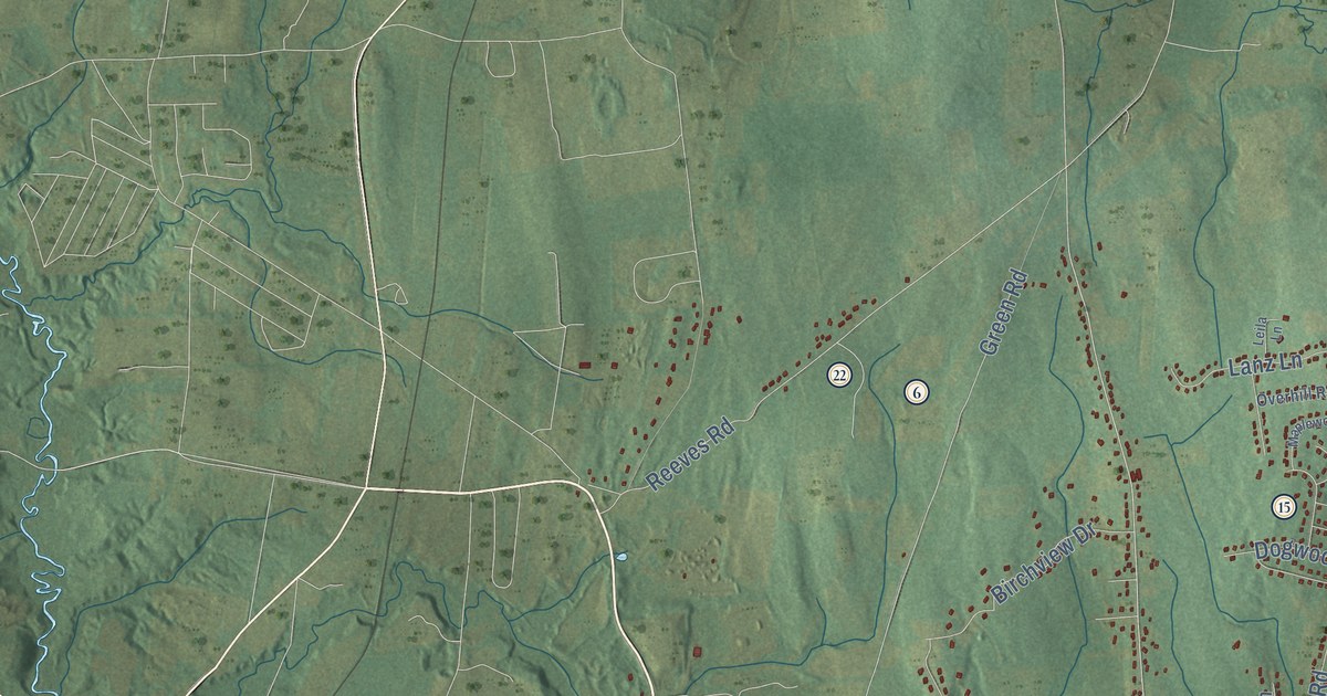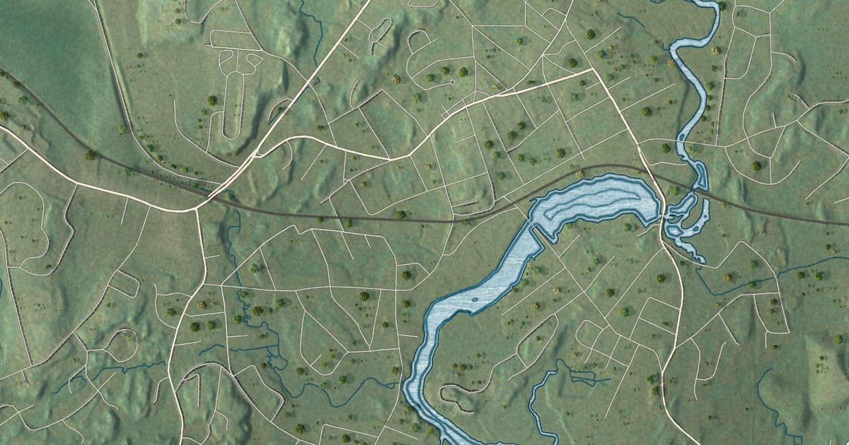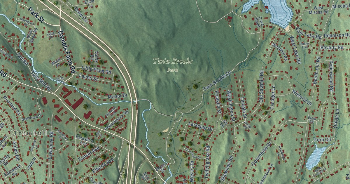
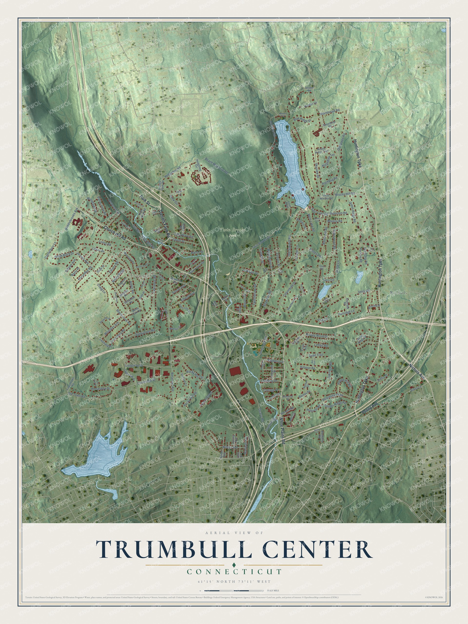
This beautifully detailed map of Trumbull Center, Connecticut was created in 2026 using aerial imagery combined with modern topographical, census, street and landmark data. It's a modern aerial view of Trumbull Center in Greater Bridgeport Planning Region, Connecticut, that combines modern data with a vintage aesthetic. The roads feature printed names, and if you look closely you can find your exact house accurately shown in its correct location.
Explore an aerial view of Trumbull Center, Connecticut
On this map you'll find Trumbull, Twin Brooks Park, Unity Park, Nichols, Nichols Avenue, White Plains Road, Daniels Farm Road, Huntington Turnpike, Church Hill Road, Penny Avenue, Park Street, Booth Hill Road, and more. Each red shape is a building, so zoom in on the preview and look for yours.
Trumbull Center is a community in Greater Bridgeport Planning Region. The Census Bureau counted 9,746 people here in 2020. Trumbull Center sits about 3 miles southeast of Daniels Farm, 3 miles southeast of Long Hill and 3 miles northeast of Sacred Heart University. The map prints the town name in its title panel, with the coordinates below it.
Take a closer look at the Trumbull Center map
Names on this map
These names are printed on this map.
Places: Trumbull, Twin Brooks Park, Unity Park and Nichols.
Streets and roads: Nichols Avenue, White Plains Road, Daniels Farm Road, Huntington Turnpike, Church Hill Road, Penny Avenue, Park Street, Booth Hill Road, Lillian Drive, Silver Lane, Old Town Road, Twitchgrass Road.
More street names, A to Z
Algonquin Trail, Alice Place, Anthony Place, Apple Orchard Lane, Arden Road, Ash Circle, Avalon Gates, Barry Place, Bayberry Lane, Beach Memorial Road, Beardsley Parkway, Berkshire Avenue, Berry Lane, Beverly Road, Blackberry Road, Blackstone Road, Blueberry Road, Blue Ridge Drive, Bob White Lane, Bolin Circle, Bonazzo Drive, Brock Street, Cambridge Drive, Canterbury Lane, Caroline Street, Cedar Crest Road, Columbine Drive, Cornfield Road, Cottage Place, Cove Point, Craig Lane, Drew Circle, East Lake Road, Eastwood Road, Edison Road, Elberta Avenue, Eldor Lane, Ethel Road, Evergreen Lane, Fern Circle, Forestview Street, Foster Avenue, Franklin Street, Frenchtown Road, Garland Circle, Geraldine Circle, Gibson Avenue, Glenwood Drive, Grandview Drive, Green Ridge Road, Greenwood Drive, Hawthorne Ridge Circle, Heartwood Lane, Hedgehog Circle, Hedgehog Road, Hemlock Trail, Hillandale Terrace, Hillcrest Road, Hillston Road, Horseshoe Drive, Hunter Lane, Ivy Lane, Jerome Avenue, Judd Place, Juniper Ridge Road, Kenwood Lane, Lane Avenue, Lansing Avenue, Larkspur Drive, Laurel Street, Lawrence Road, Leffert Road, Leonard Place, Lincoln Street, Lindberg Drive, Lindeman Drive, Linley Road, Little Plain Road, Lounsbury Road, Macarthur Road, Macdonald Road, Maefair Court, Manor Drive, Marshall Avenue, Middlebrooks Avenue, Mischa Hill Road, Moorland Road, Norwood Terrace, Oakridge Road, Oakview Drive, Old Dairy Road, Old Dike Road, Old Farm Road, Old Green Road, Old Mill Road, Old Sawmill Road, Oriole Lane, Pachaug Road, Palmer Trail, Partridge Lane, Pequonnock Road, Priscilla Place, Puritan Road, Quail Trail, Quarry Road, Reiner Circle, Reiner Drive, Rempsen Street, Rennison Road, Reservoir Avenue, Rexview Circle, River Bend Road, Robinwood Road, Rocky Hill Road, Rocky Hill Terrace, Rocky Ridge Drive, Rolling Wood Drive, Round Hill Road, Round Ridge Trail, Ruth Street, Saybrook Road, Shawnee Road, Skyview Drive, Stella Street, Stonebridge Lane, Strobel Road, Sunnycrest Road, Sunset Avenue, Suzanne Circle, Sweetbriar Road, Sylvan Avenue, Tait Road, Taits Mill Road, Tanager Lane, Thorburn Avenue, Trumbull Road, Twin Brooks Drive, Unity Drive, Unity Park Road, Unity Road, Valley Road, Valley View Road, Vesper Hill, Village Drive, Vista Place, Ward Place, Washington Street, Wesley Drive, West Lake Road, West Mischa Road, Whalley Road, White Birch Drive, White Oak Road, Wilson Avenue, Windy Ridge, Wisteria Drive, Woodhill Road, Woodlawn Drive, Woolsley Avenue.
See it on a wall
The Trumbull Center map as a framed print. Swipe for more.


Created by KNOWOL in 2026. The buildings are small red shapes, the roads carry their printed names, and shaded relief shows the shape of the land. The title panel reads "AERIAL VIEW OF TRUMBULL CENTER, CONNECTICUT" with 41°15' NORTH 73°11' WEST.
Hang it in the hallway, the office or the cabin, or give it to someone who left Trumbull Center and still calls it home. Open the preview and look for a street you know. See sizes and frames for the Trumbull Center map.