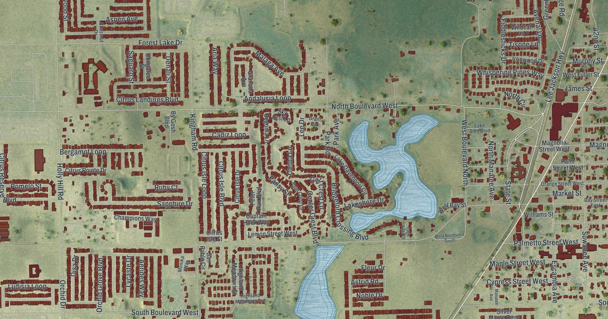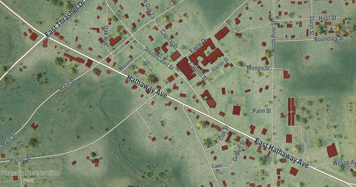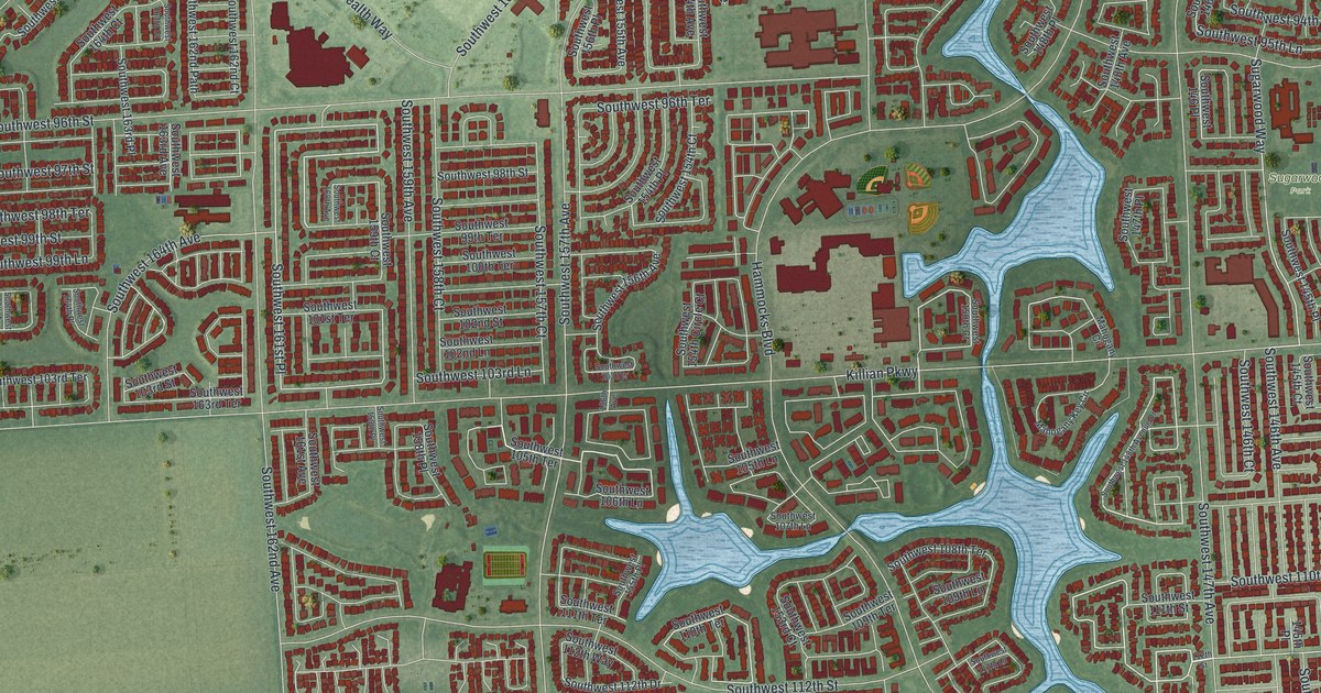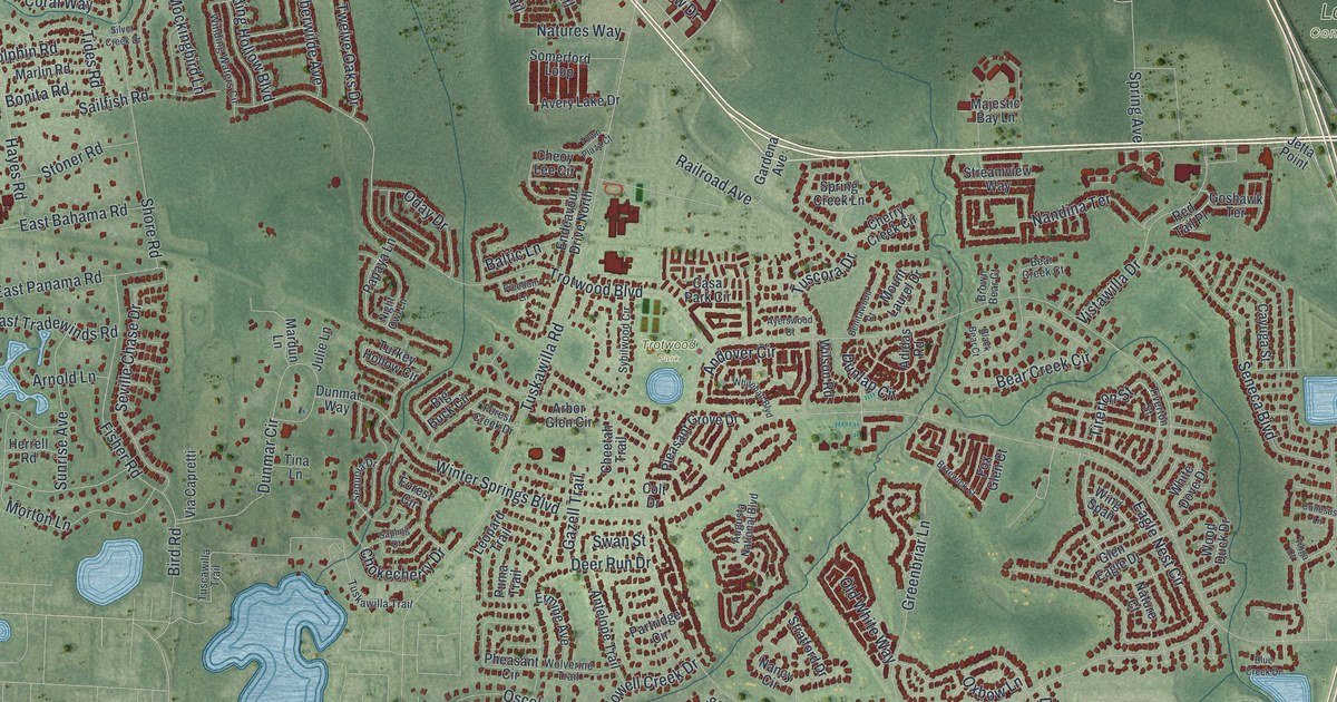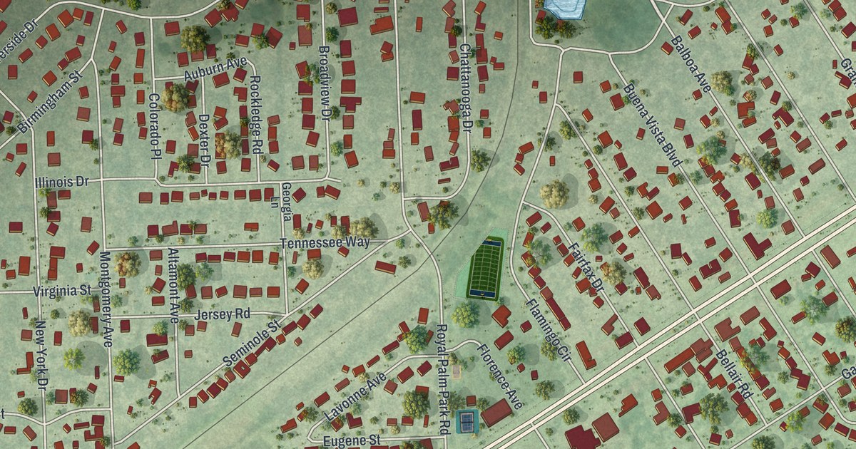
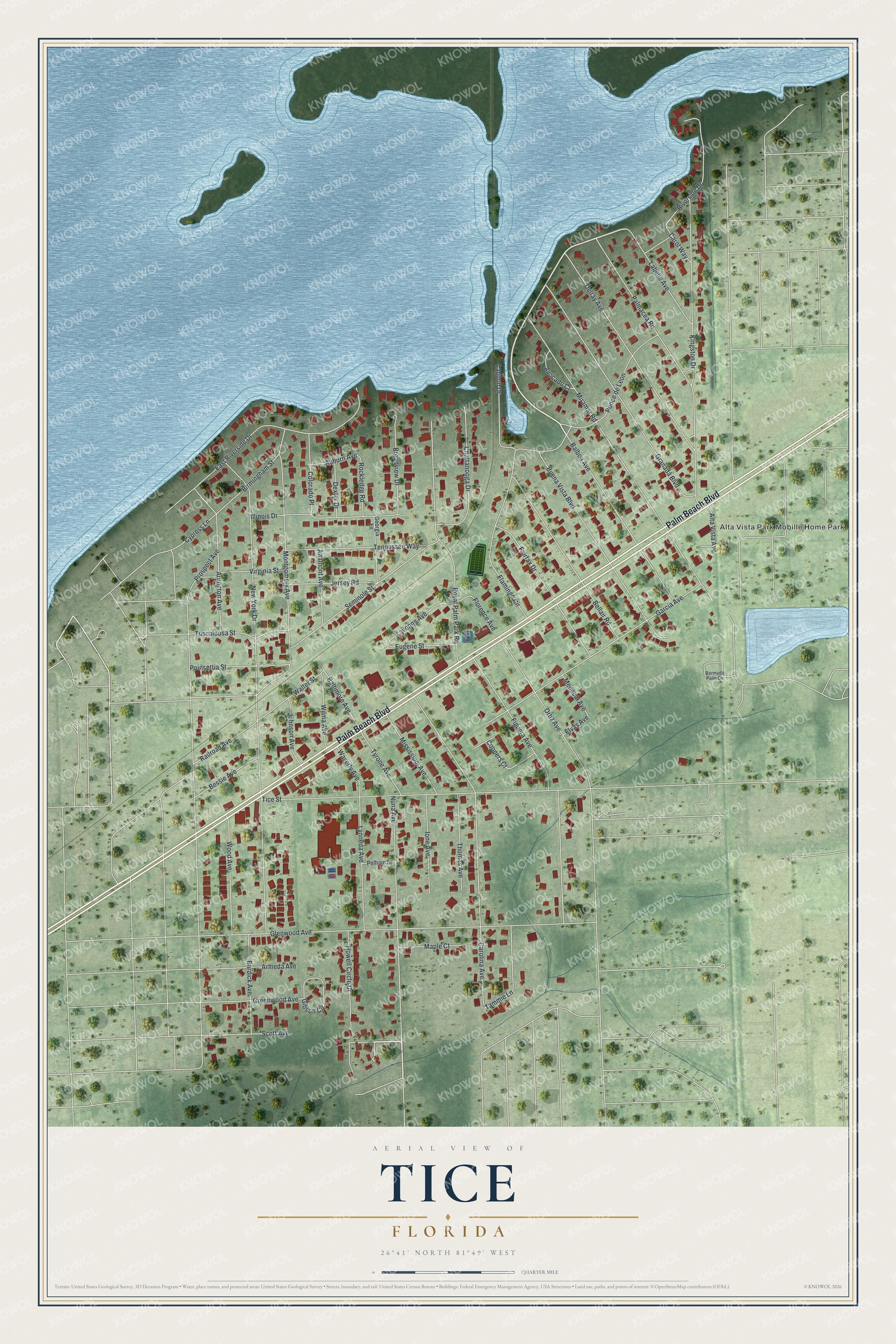
This beautifully detailed map of Tice, Florida was created in 2026 using aerial imagery combined with modern topographical, census, street and landmark data. It's a modern aerial view of Tice in Lee County, Florida, that combines modern data with a vintage aesthetic. The roads feature printed names, and if you look closely you can find your exact house accurately shown in its correct location.
Explore an aerial view of Tice, Florida
On this map you'll find Alta Vista Park Mobille Home Park, Palm Beach Boulevard, Nuna Avenue, Lagoon Drive, East Riverside Drive, Coopers Court, Prospect Avenue, New York Drive, Tice Street, Glenwood Avenue, Miramar Road, Carolina Avenue, and more. Each red shape is a building, so zoom in on the preview and look for yours.
Tice is a community in Lee County. The Census Bureau counted 4,853 people here in 2020. Tice sits about 3 miles southeast of North Fort Myers, 4 miles southeast of Suncoast Estates and 4 miles north of Fort Myers. The map prints the town name in its title panel, with the coordinates below it.
Take a closer look at the Tice map
Names on this map
These names are printed on this map.
Places: Alta Vista Park Mobille Home Park.
Streets and roads: Palm Beach Boulevard, Nuna Avenue, Lagoon Drive, East Riverside Drive, Coopers Court, Prospect Avenue, New York Drive, Tice Street, Glenwood Avenue, Miramar Road, Carolina Avenue, Ortiz Avenue.
More street names, A to Z
Altamont Avenue, Alta Vista Avenue, Arlington Avenue, Armeda Avenue, Auburn Avenue, Avocado Court, Balboa Avenue, Baltimore Avenue, Bellair Road, Bermuda Palm Circle, Bessie Avenue, Birmingham Street, Broadview Drive, Buena Vista Boulevard, Burdick Avenue, Carol Way, Chattanooga Drive, Colorado Place, Cypress Lane, Delray Avenue, Dexter Drive, Elvas Avenue, Eugene Street, Fairfax Drive, Figuera Avenue, Flamingo Circle, Florence Avenue, Garcia Avenue, Georgia Lane, Gibson Circle, Granada Boulevard, Greenwood Avenue, Howell Circle Drive, Illinois Drive, Ione Avenue, Jersey Road, Johnson Avenue, Kingston Drive, Labelle Avenue, Lavonne Avenue, Lynneda Avenue, Maple Court, Menocal Avenue, Mississippi Avenue, Montgomery Avenue, Palmacea Road, Pelham Street, Poinsettia Street, Ponce de Leon, Railroad Avenue, Riverside Drive, Rockledge Road, Royal Palm Park Road, Scott Avenue, Seminole Street, Tammie Lane, Tennessee Way, Thomas Avenue, Tuscaloosa Street, Tyrone Avenue, Virginia Street, Walter Street, Waverly Avenue, Wilma Avenue, Wood Avenue.
See it on a wall
The Tice map as a framed print. Swipe for more.


Created by KNOWOL in 2026. The buildings are small red shapes, the roads carry their printed names, and shaded relief shows the shape of the land. The title panel reads "AERIAL VIEW OF TICE, FLORIDA" with 26°41' NORTH 81°49' WEST.
It suits a den, a classroom or a front hall, and it makes a gift for anyone with Tice roots. Open the preview and find the block you know. See sizes and frames for the Tice map.