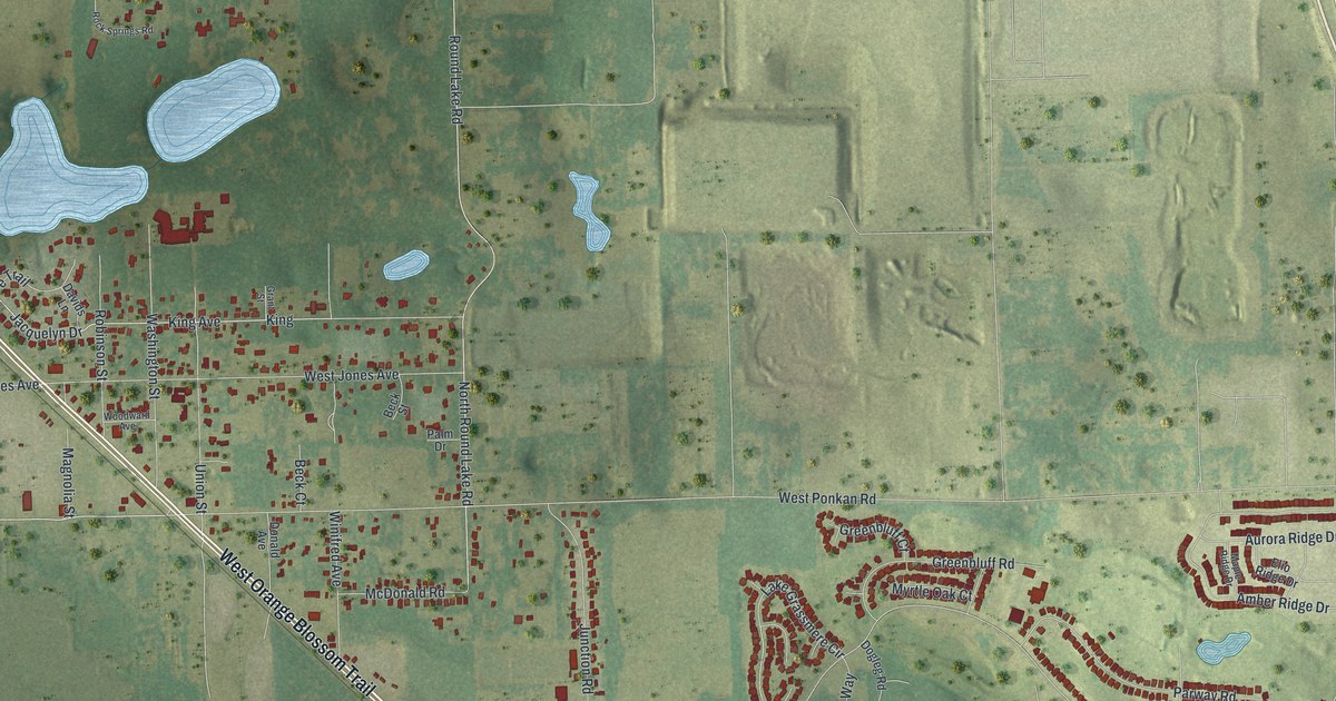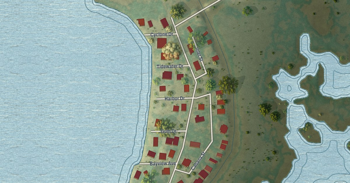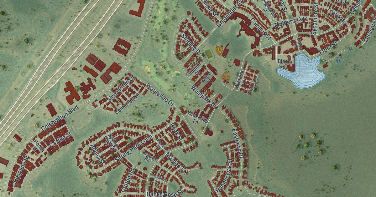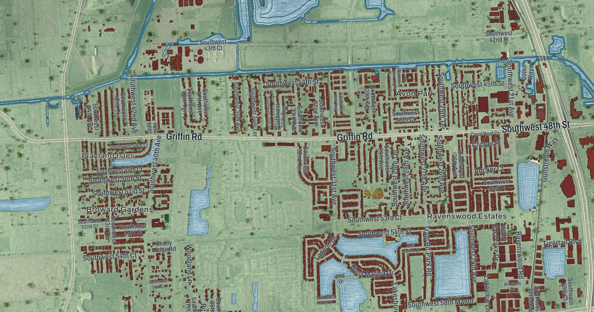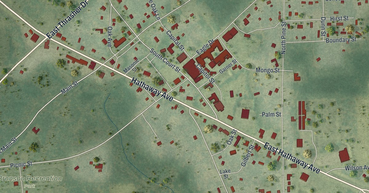
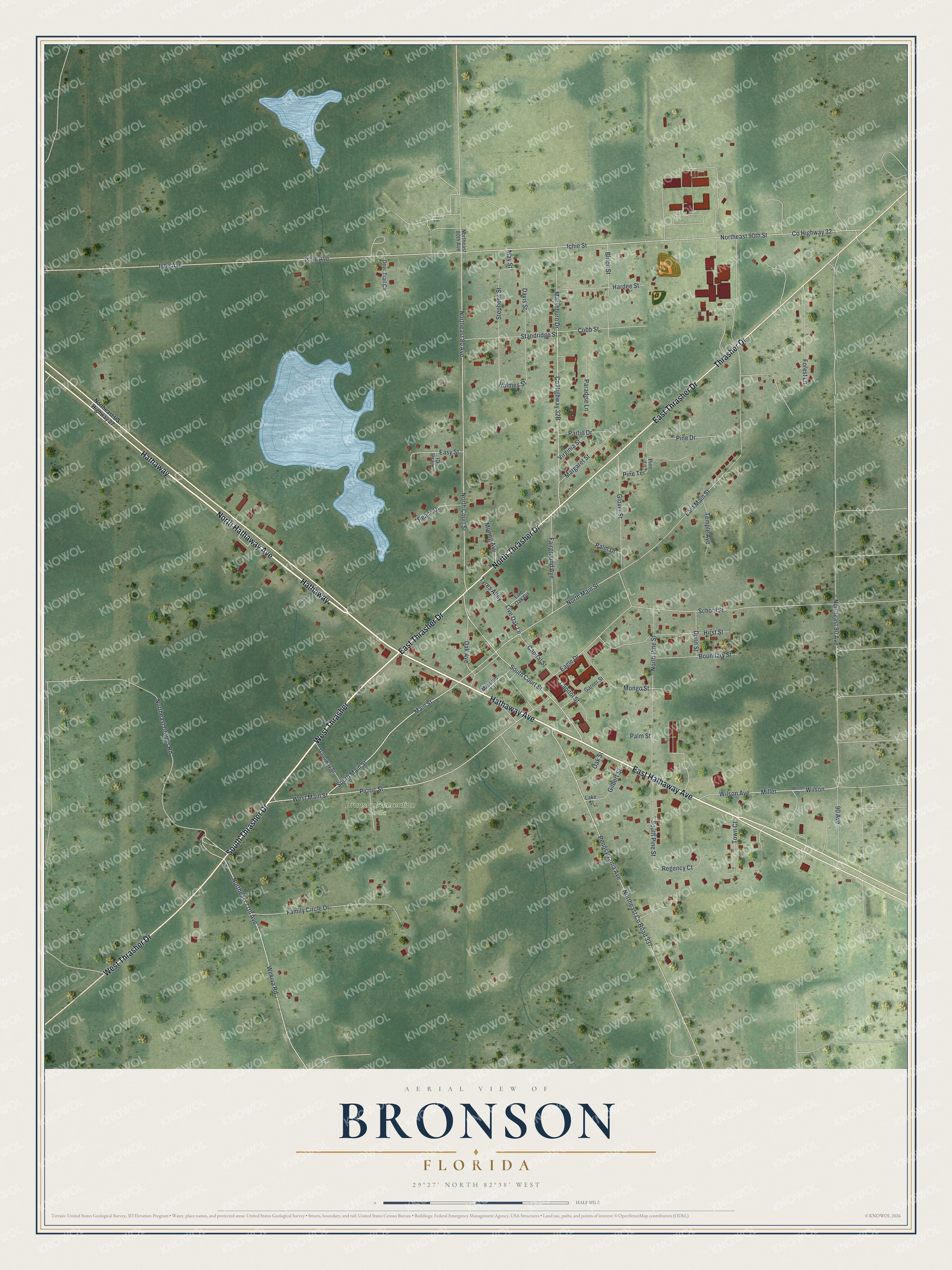
This beautifully detailed map of Bronson, Florida was created in 2026 using aerial imagery combined with modern topographical, census, street and landmark data. It’s a one-of-a-kind view of Bronson that combines accurate data with a vintage aesthetic. The map shows every building in its true location, many of the roads carry their names, and the shaded topographic relief shows the shape of the land.
Explore an aerial view of Bronson, Florida
On the map you’ll find Bronson Recreation Park, Hathaway, and West Thrasher, along with East Hathaway Avenue, North Hathaway Avenue, Thrasher Drive, South Thrasher Drive, Hathaway Avenue, West Thrasher Drive, North Thrasher Drive, East Thrasher Drive, South Court Street, and more. If you look closely you can even find your house accurately drawn in its correct location. Zoom in on the preview to look for yours.
Did You Know?
The town was settled in 1839 and named for Judge Isaac H. Bronson, an early settler of the Florida Territory. Before that, the place was called Chunky Pond, from the Native American name Chuckahaha. It has been the seat of Levy County since 1874 but did not incorporate until 1951.
Take a closer look at the Bronson map
Names on this map
These names are printed on this map.
Places: Bronson Recreation Park.
Streets and roads: East Hathaway Avenue, North Hathaway Avenue, Hathaway, Thrasher Drive, South Thrasher Drive, Hathaway Avenue, West Thrasher, West Thrasher Drive, North Thrasher Drive, East Thrasher Drive, South Court Street, Main Street.
More street names, A to Z
90 Avenue, Alexis Court, Blitch Street, Boundary Street, Capital Street, Capitol Street, Cobb Street, County Highway 32, Davis Street, Deer Trail Circle, Dunn Street, Eagle Drive, East Main Street, Easy Street, Fairground Avenue, Family Circle Drive, Forest Lane, Galloway Street, Garner Street, Gilbert Street, Glover Street, Hardee Street, Hirst Street, Holmes Street, Ichie Street, Ishe Avenue, Ishie Avenue, Lake Street, Live Oak Circle, Live Oak Lane, Margaret Street, Marshburn Drive, Masonic Street, May Street, Miller, Mongo Street, Moring Avenue, North Court Street, Northeast 77th Avenue, Northeast 80 Avenue, Northeast 80th Avenue, Northeast 90 Avenue, Northeast 90th Street, Northeast County Road 337, Northeast Crapps Road, Northeast US Highway 27, North Main Street, North Pine Street, Oak Avenue, Oak Street, Palm Drive, Palm Street, Paradise Lane, Partin Drive, Peace Drive, Pennsylvania Avenue, Picnic Street, Pine Drive, Pine Lane, Pine Terrace, Regency Court, School Street, South Main Street, South Pine Street, Standridge Street, Stephens Street, Temple Avenue, Town Court, Tyres Alley, Virginia Street, Wekiva Road, West Main Street, Wilson, Wilson Avenue, Wilson Street.
See it on a wall
The Bronson map as a framed print. Swipe for more.


This beautifully detailed map of Bronson makes an attractive addition to your office, library, or den, and it can even be used to teach children the geography and history of the area. It also makes a great gift for anyone who grew up in Bronson or moved away. When you’re done exploring, click here to get your copy of the Bronson map.