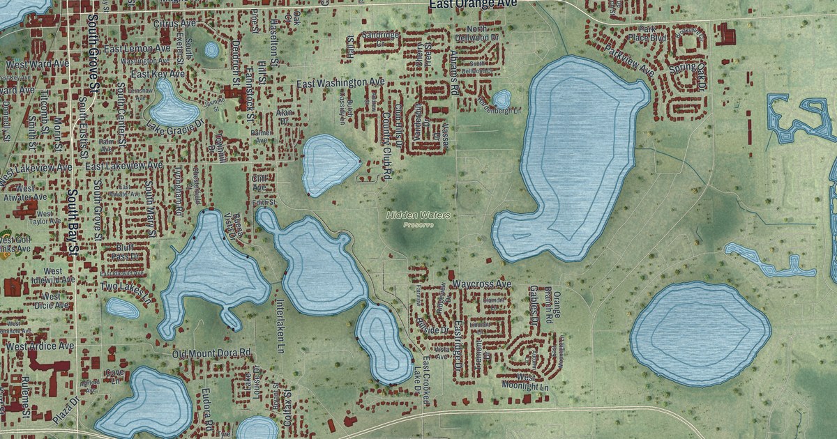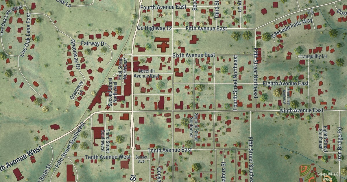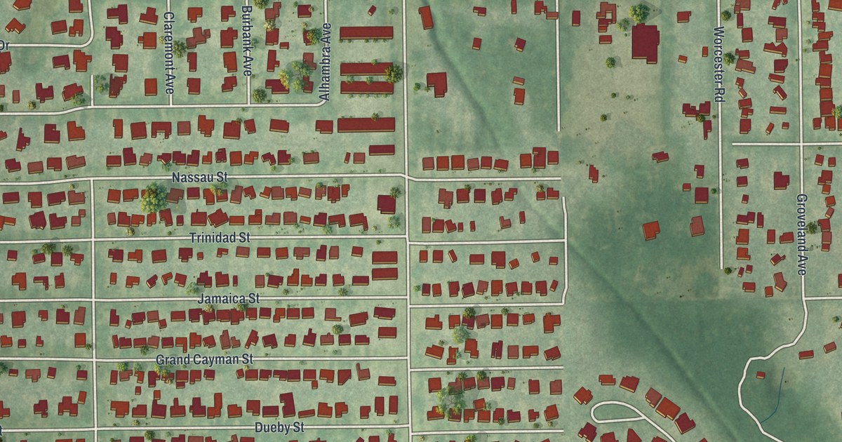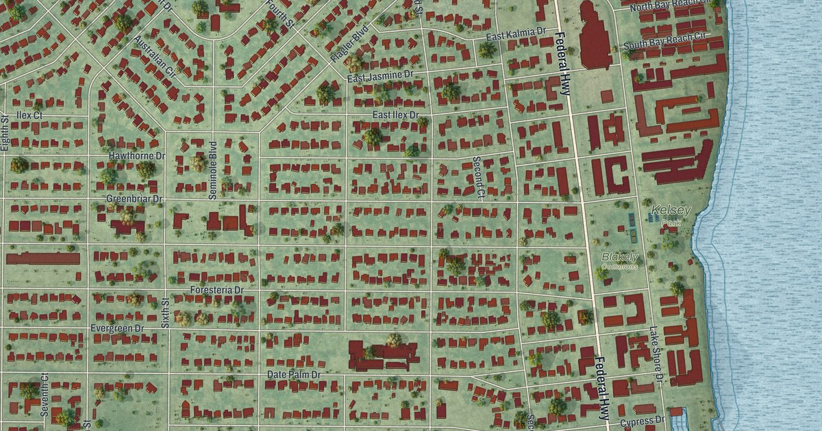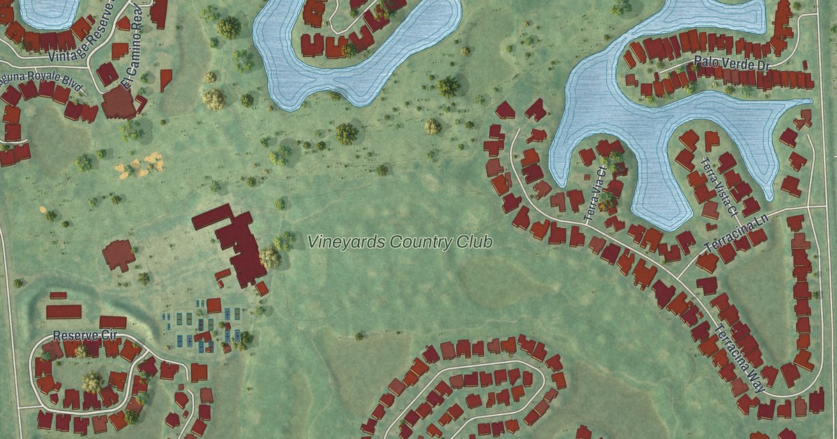
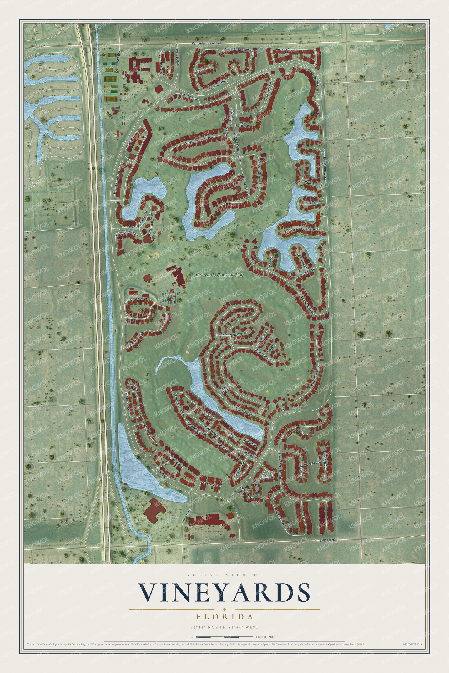
This beautifully detailed map of Vineyards, Florida was created in 2026 using aerial imagery combined with modern topographical, census, street and landmark data. It's a modern aerial view of Vineyards in Collier County, Florida, that combines modern data with a vintage aesthetic. The roads feature printed names, and if you look closely you can find your exact house accurately shown in its correct location.
Explore an aerial view of Vineyards, Florida
On this map you'll find Vineyards Country Club, El Camino Real, Tierra Lago Way, Vintage Reserve Circle, Fountain Run, Hammock Isles Drive, Reserve Circle, Lalique Circle, Arbor Boulevard West, Vineyards Boulevard, Monterey Drive, Vanderbilt Beach Road, and more. Each red shape is a building, so zoom in on the preview and look for yours.
Vineyards is a community in Collier County. The Census Bureau counted 3,883 people here in 2020. Vineyards sits about 2 miles southwest of Island Walk, 4 miles northwest of Golden Gate and 4 miles east of Pelican Marsh. The map prints the town name in its title panel, with the coordinates below it.
Take a closer look at the Vineyards map
Names on this map
These names are printed on this map.
Places: Vineyards Country Club.
Streets and roads: El Camino Real, Tierra Lago Way, Vintage Reserve Circle, Fountain Run, Hammock Isles Drive, Reserve Circle, Lalique Circle, Arbor Boulevard West, Vineyards Boulevard, Monterey Drive, Vanderbilt Beach Road, Pine Ridge Road.
More street names, A to Z
Almaden Drive, April Sound Drive, Augusta Falls Way, Avellino Isles Circle, Bellerive Avenue, Bromelia Court, Bromelia Way, Camelot Circle, Chardonnay Lane, Cinzano Court, Cloudstone Court, Commons Circle, Erin Way, Fountain Circle, Glen Arbor Way, Glen Lake Circle, Hammock Isles Circle, Jameson Drive, Laguna Royale Boulevard, Livermore Lane, Napa Boulevard, Napa Ridge Road East, Napa Ridge Way, Oakes Boulevard, Palo Verde Drive, Perignon Place, Regency Reserve Circle, Regency Reserve Court, Regency Reserve Drive, Sago Court, San Rafael Lane, Santa Maria Lane, Shoreline Drive, Siena Way, Silverado Drive, Silver Oaks Circle, Silver Oaks Drive, Sonoma Court, Sonoma Lane, Spring Lake Circle, Stonegate Court, Terracina Lane, Terracina Way, Terra Via Court, Terra Vista Court, Tuscana Court, Tuscany Way, Venezia Grande Drive, Via Perignon, Villa Florenza Drive, Vintage Circle, Vintage Colony Boulevard, Vintage Reserve Lane, Vista Lane, Vistana Circle, Wedgewood Way.
See it on a wall
The Vineyards map as a framed print. Swipe for more.


Created by KNOWOL in 2026. The buildings are small red shapes, the roads carry their printed names, and shaded relief shows the shape of the land. The title panel reads "AERIAL VIEW OF VINEYARDS, FLORIDA" with 26°14' NORTH 81°44' WEST.
It looks right in a kitchen, an office or a den, and it's a gift for anyone who grew up in Vineyards or moved away. Open the preview and find your street. See sizes and frames for the Vineyards map.