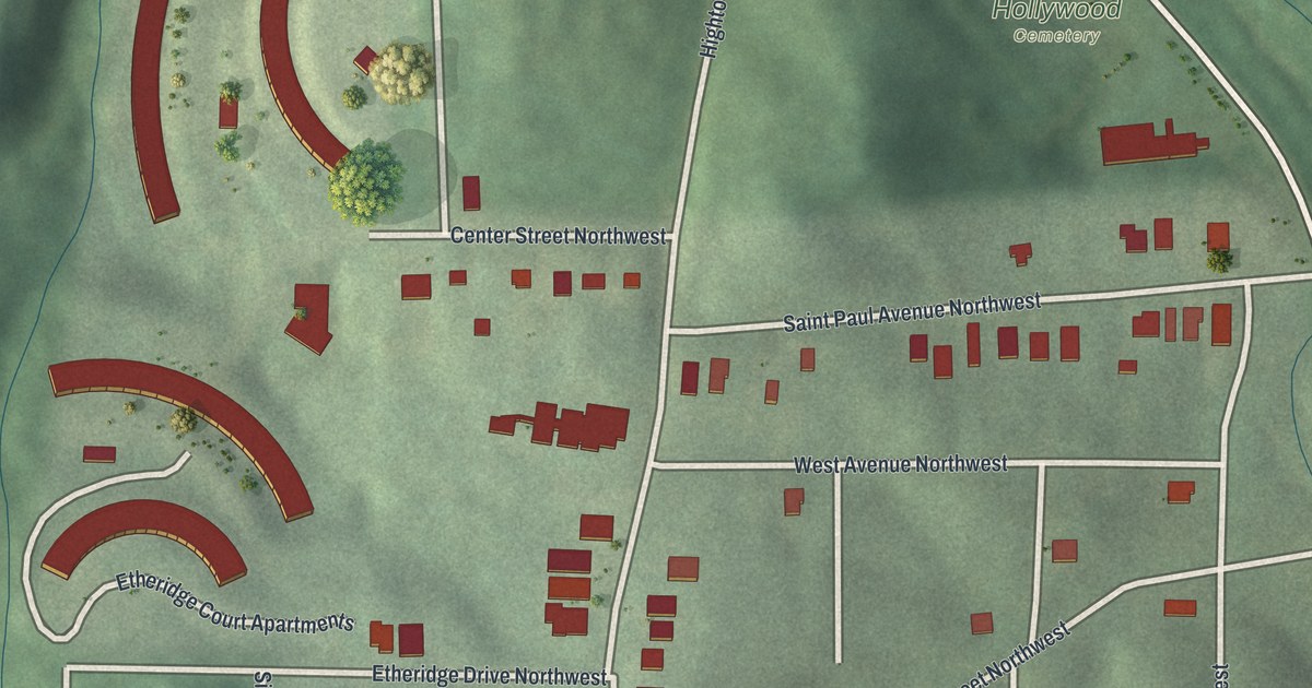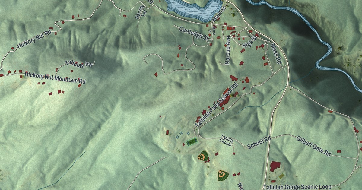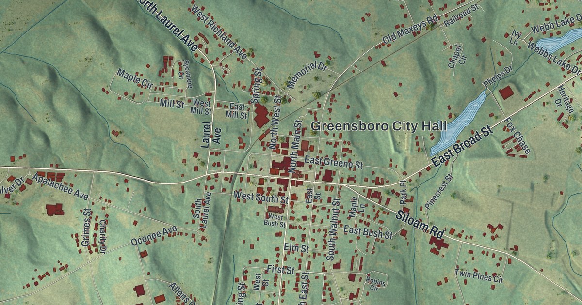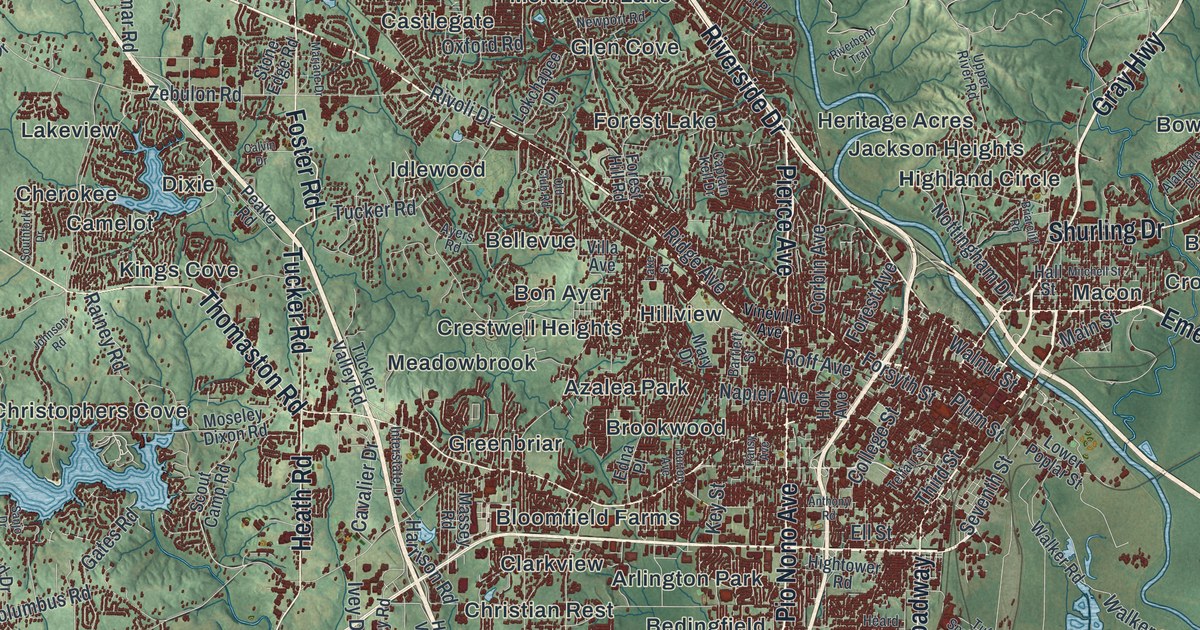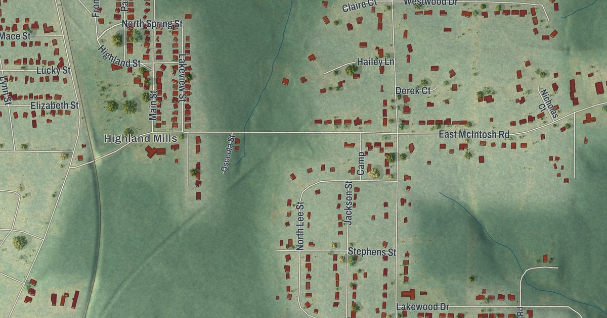
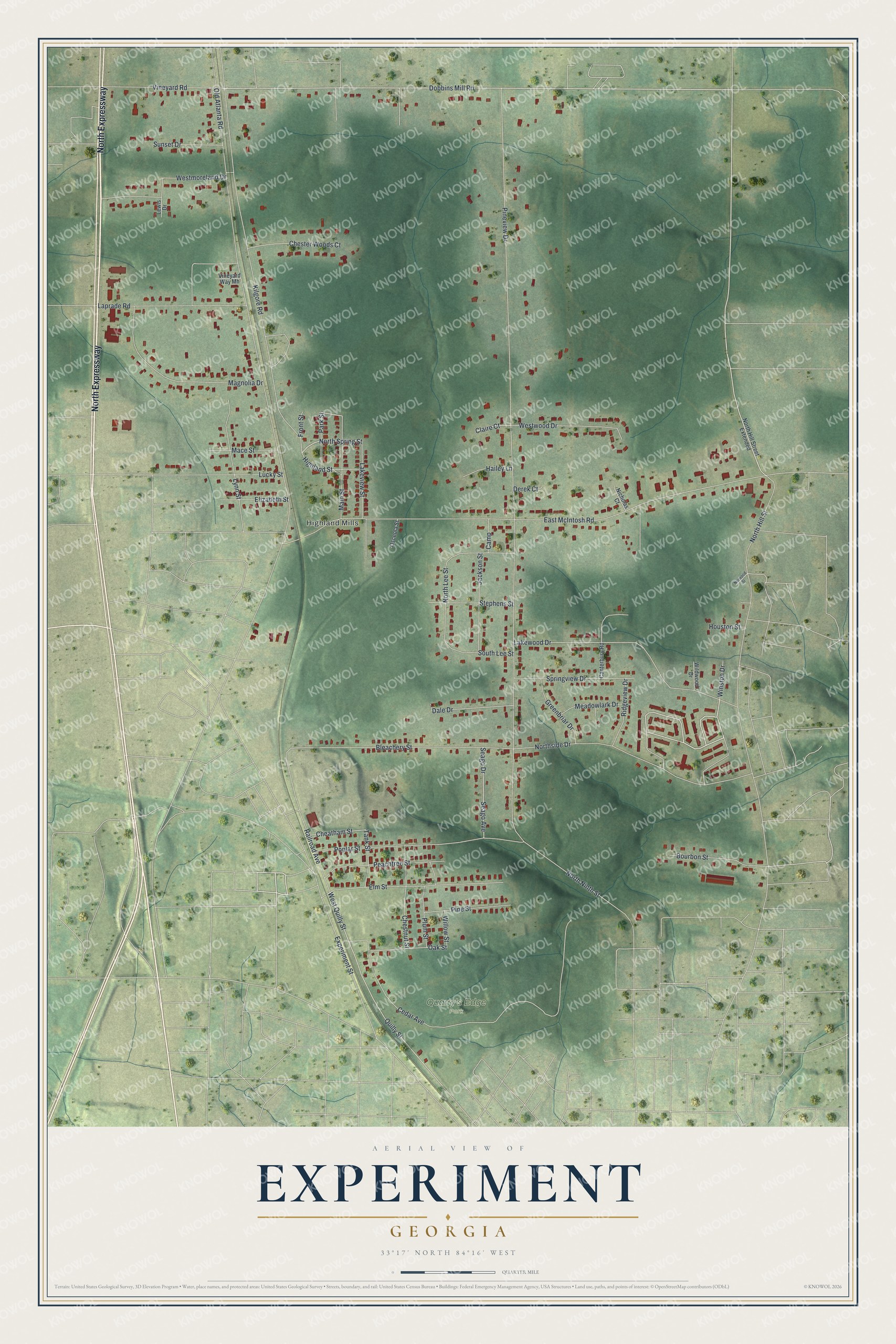
This beautifully detailed map of Experiment, Georgia was created in 2026 using aerial imagery combined with modern topographical, census, street and landmark data. It’s a one-of-a-kind view of Experiment that combines accurate data with a vintage aesthetic. The map shows every building in its true location, many of the roads carry their names, and the shaded topographic relief shows the shape of the land.
Explore an aerial view of Experiment, Georgia
On the map you’ll find Highland Mills and Quarry’s Edge Park, along with North Expressway, Dobbins Mill Road, North Spring Street, West Quilly Street, Quilly Street, Claire Court, Cheatham Street, Old Atlanta Road, East McIntosh Road, North Ninth Street, and more. Experiment sits about 3 miles north of Griffin, 4 miles northwest of East Griffin and 4 miles south of Sunny Side. If you look closely you can even find your house accurately drawn in its correct location. Zoom in on the preview to look for yours.
Did You Know?
Experiment, on the northern edge of Griffin, was a station on the Central of Georgia Railway. In 1889 the Georgia Agricultural Experiment Station moved to its 2,000-acre site at Experiment, a year after it was first set up at the University of Georgia in Athens. That's from the Georgia place-name writer Kenneth Krakow.
Take a closer look at the Experiment map
Names on this map
These names are printed on this map.
Places: Highland Mills and Quarry's Edge Park.
Streets and roads: North Expressway, Dobbins Mill Road, North Spring Street, West Quilly Street, Quilly Street, Claire Court, Cheatham Street, Old Atlanta Road, East McIntosh Road, North Ninth Street, North Hill Street, Pineview Drive.
More street names, A to Z
Bleachery Street, Bourbon Street, Camp, Canterbury Road, Cedar Avenue, Chester Woods Court, Chestnut Street, Dale Drive, Derek Court, Elizabeth Street, Elm Street, Experiment Street, Front Street, Greenbriar Drive, Hailey Lane, Highland Street, Houston Street, Jackson Street, Kilgore Road, Lakeview Street, Lakewood Drive, Laprade Road, Lewis Drive, Lucky Street, Lynn Street, Mace Street, Magnolia Drive, Main Street, Meadowlark Drive, Nicholas Court, North Hill Street Extended, North Lee Street, Northside Drive, Norwood Street, Oak Street, Osceola Street, Park Street, Peachtree Street, Pine Street, Plum Street, Poplar Street, Railroad Avenue, Ridgeview Drive, Seago Avenue, Seago Drive, South Lee Street, Springview Drive, Stephens Street, Sunset Drive, Tank Street, Vineyard Road, Vineyard Way Mh, Westmoreland Drive, Westwood Drive, Wildwood Drive, Willow Street, Winston Drive.
See it on a wall
The Experiment map as a framed print. Swipe for more.


This beautifully detailed map of Experiment makes an attractive addition to your office, library, or den, and it can even be used to teach children the geography and history of the area. It also makes a great gift for anyone who grew up in Experiment or moved away. When you’re done exploring, click here to get your copy of the Experiment map.