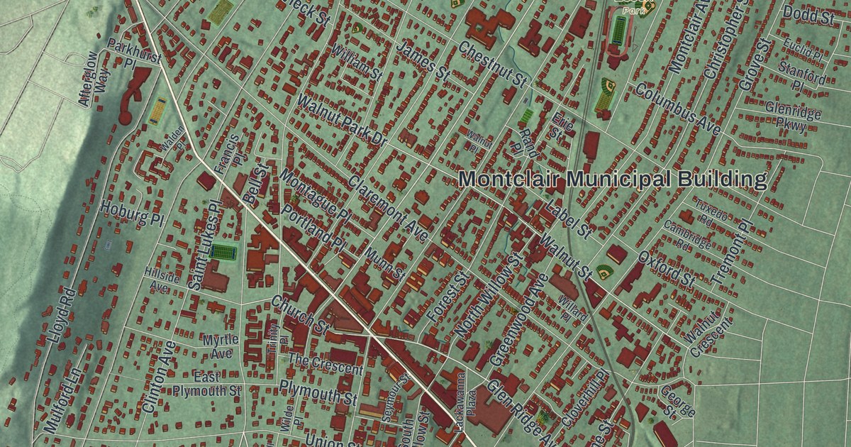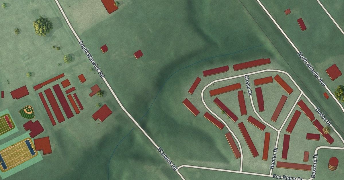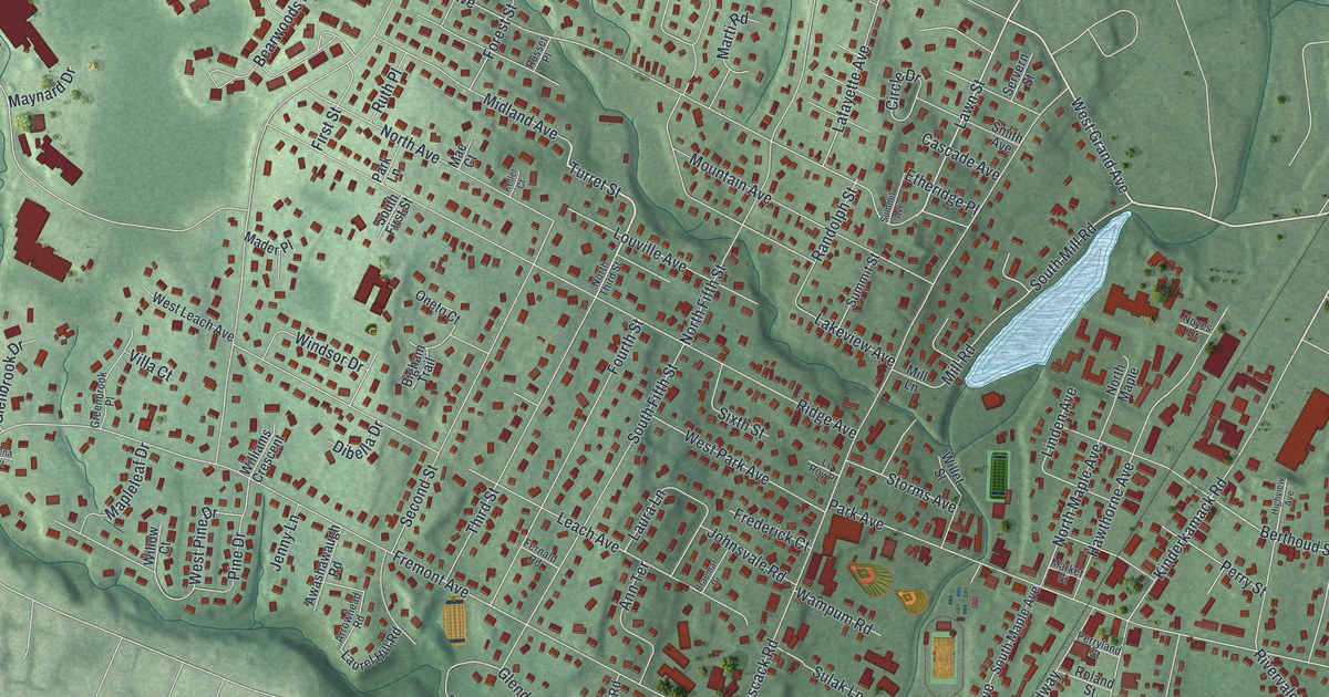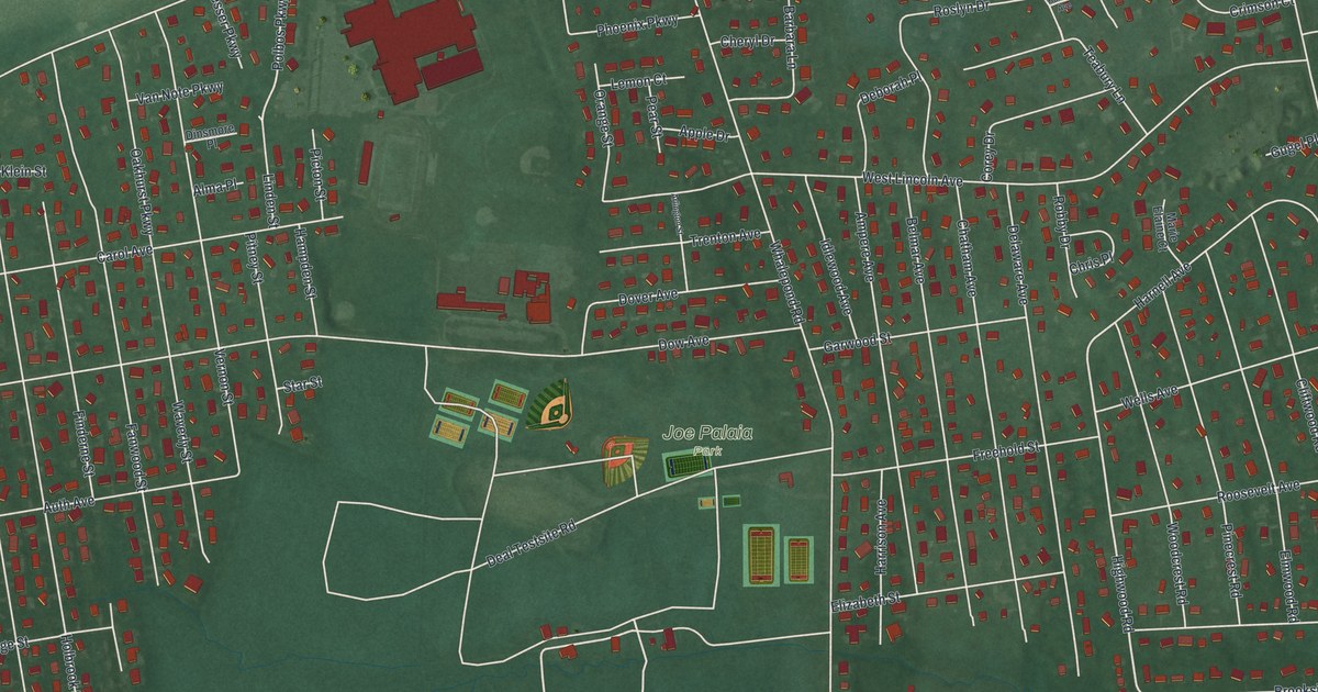
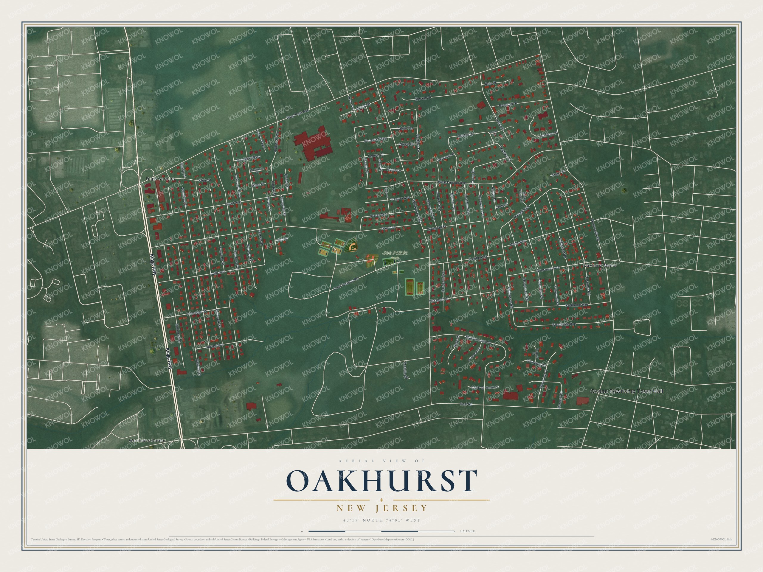
This beautifully detailed map of Oakhurst, New Jersey was created in 2026 using aerial imagery combined with modern topographical, census, street and landmark data. It's a modern aerial view of Oakhurst in Monmouth County, New Jersey, that combines modern data with a vintage aesthetic. The roads feature printed names, and if you look closely you can find your exact house accurately shown in its correct location.
Explore an aerial view of Oakhurst, New Jersey
On this map you'll find Ocean Township Town Hall, Joe Palaia Park, Wertheins Corner, Dogs Corners, Oakhurst Manor, Kings Highway, Teabury Lane, Highwood Road, Polbos Parkway, West Park Avenue, Deal Road, Monmouth Road, and more. Each red shape is a building, so zoom in on the preview and look for yours.
Oakhurst is a community in Monmouth County. The Census Bureau counted 4,069 people here in 2020. Oakhurst sits about 2 miles north of Wanamassa, 2 miles northwest of Deal and 2 miles south of West Long Branch. The map prints the town name in its title panel, with the coordinates below it.
Take a closer look at the Oakhurst map
Names on this map
These names are printed on this map.
Places: Ocean Township Town Hall, Joe Palaia Park, Wertheins Corner, Dogs Corners and Oakhurst Manor.
Streets and roads: Kings Highway, Teabury Lane, Highwood Road, Polbos Parkway, West Park Avenue, Deal Road, Monmouth Road, Whalepond Road, Deal Testsite Road, Dow Avenue, West Lincoln Avenue, Holbrook Street.
More street names, A to Z
Abis Place, Alma Place, Alvord Street, Ampere Avenue, Apple Drive, Arlington Street, Auth Avenue, Barbara Lane, Beecroft Place, Bellmore Street, Belmar Avenue, Brookside Avenue, Calvin Terrace, Carol Avenue, Chatham Avenue, Cheryl Drive, Chris Place, Clark Court, Cliftwood Road, Corey Drive, Crimson Court, Deborah Place, Delaware Avenue, Dinsmore Place, Dover Avenue, Elizabeth Street, Elmwood Road, Fanwood Street, Finderne Street, Freehold Street, Garrity Place, Garwood Street, Gugel Place, Hampden Street, Harnell Avenue, Harrison Avenue, Harvard Court, Harvey Avenue, Heath Avenue, Holland Avenue, Idlewood Avenue, Klein Street, Kramer Court, Larkin Place, Lemon Court, Lesser Parkway, Linden Street, Marie Elaine Court, Melville Street, Mount Court, Oakhurst Parkway, Oakhurst Road, Orange Street, Pear Street, Phoenix Parkway, Picton Street, Pinecrest Road, Pitney Street, Princeton Court, Redmond Avenue, Robby Drive, Roosevelt Avenue, Roslyn Drive, Ross Court, Shadow Lawn Drive, Slocum Place, Star Street, Talmadge Street, Testsite Road, Trenton Avenue, Van Note Parkway, Vernon Street, Vineberg Court, Waverly Street, Wells Avenue, Wenning Court, Westfield Street, Woodcrest Road.
See it on a wall
The Oakhurst map as a framed print. Swipe for more.


Created by KNOWOL in 2026. The buildings are small red shapes, the roads carry their printed names, and shaded relief shows the shape of the land. The title panel reads "AERIAL VIEW OF OAKHURST, NEW JERSEY" with 40°15' NORTH 74°01' WEST.
It looks right in a kitchen, an office or a den, and it's a gift for anyone who grew up in Oakhurst or moved away. Open the preview and find your street. See sizes and frames for the Oakhurst map.