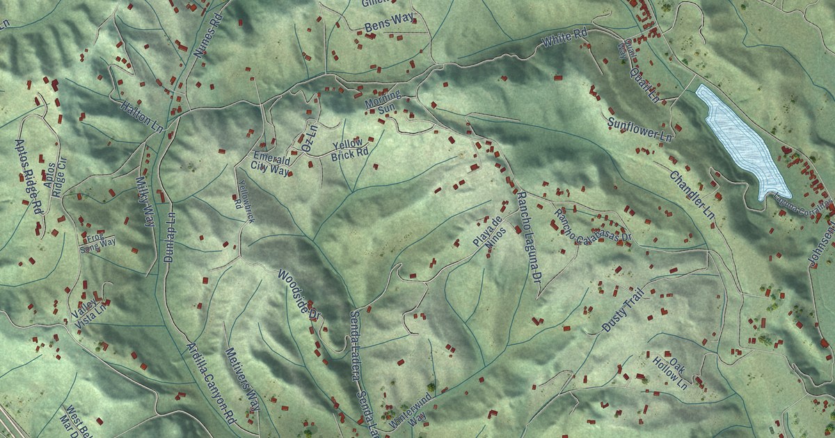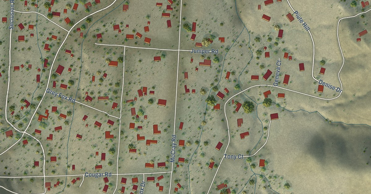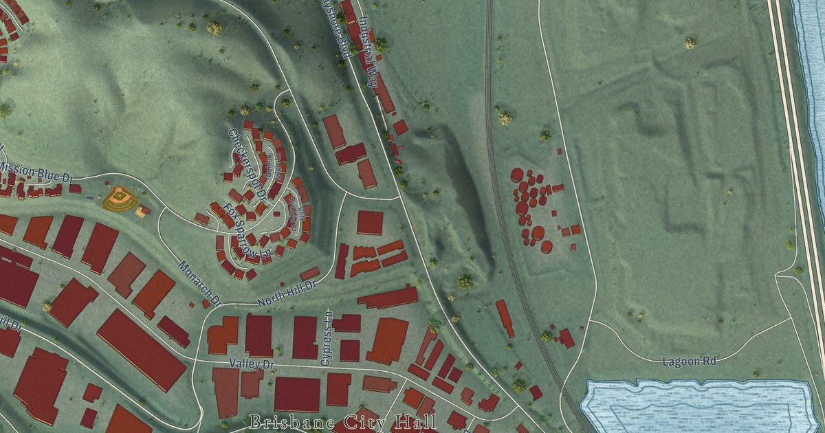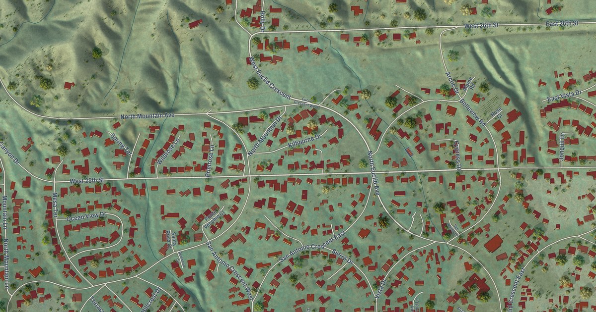
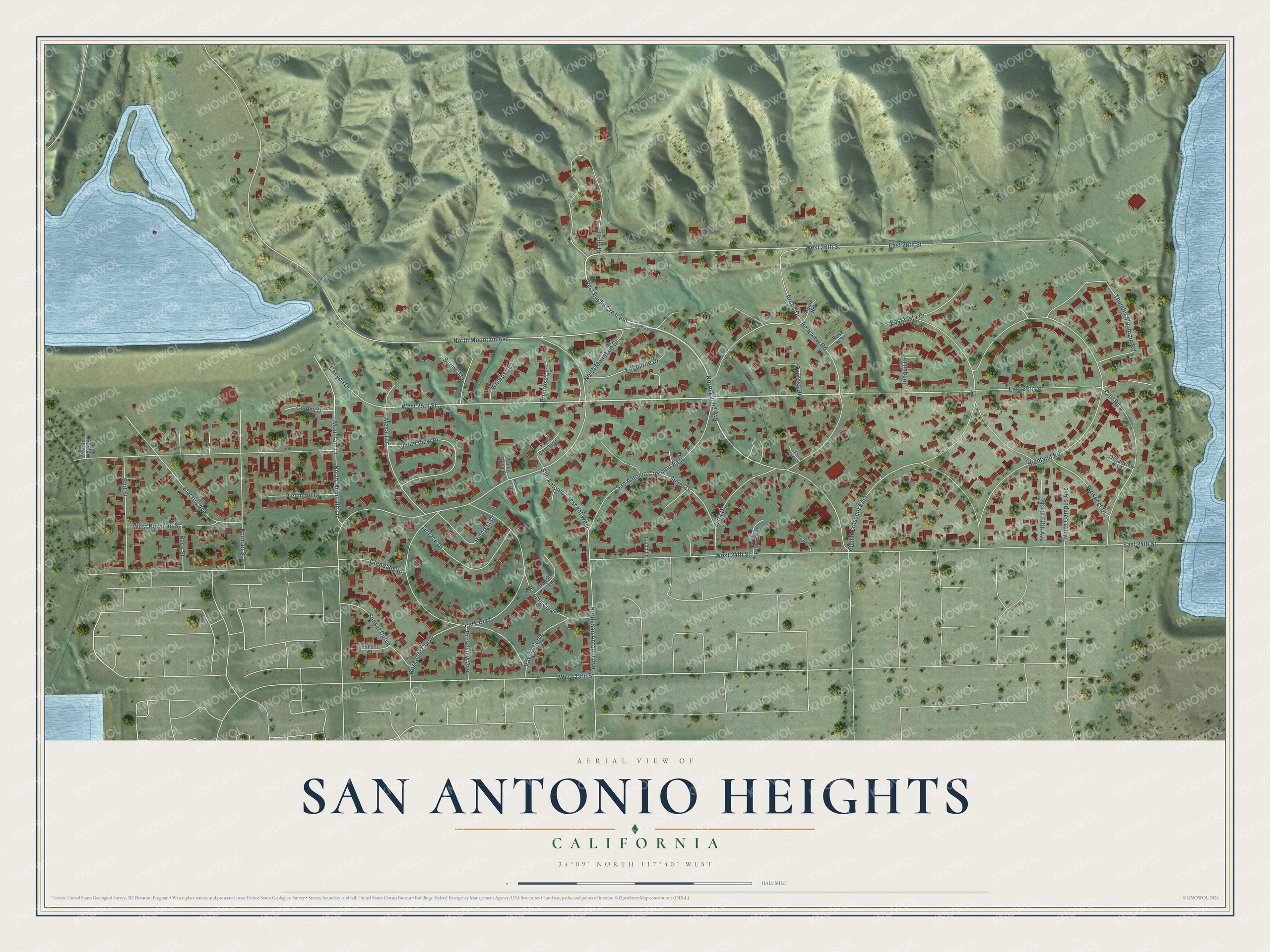
This beautifully detailed map of San Antonio Heights, California was created in 2026 using aerial imagery combined with modern topographical, census, street and landmark data. It's a modern aerial view of San Antonio Heights in San Bernardino County, California, that combines modern data with a vintage aesthetic. The roads feature printed names, and if you look closely you can find your exact house accurately shown in its correct location.
Explore an aerial view of San Antonio Heights, California
On this map you'll find West 25th Street, North Euclid Avenue, West Euclid Crescent, West 26th Street, West 24th Street, Electric Avenue, West 23rd Street, Thunder Mountain Road, Rosedale Curve, North Mountain Avenue, Euclid Crescent East, East 24th Street, and more. Each red shape is a building, so zoom in on the preview and look for yours.
Here is a piece of San Antonio Heights history. San Antonio Heights sprang to life in the boom of 1887, on the mesa above Upland at the mouth of San Antonio Canyon. That boom year J. B. Tays, Nelson Stoddard and I. S. Miller built new houses on the mesa, and 37 lots were sold in the first year. The boom ended and building stopped completely in the spring of 1888. No more lots were sold in San Antonio Heights for more than 13 years. That's from the San Bernardino County Sentinel.
San Antonio Heights is a community in San Bernardino County. The Census Bureau counted 3,441 people here in 2020. San Antonio Heights sits about 3 miles north of Upland, 4 miles northeast of Claremont and 6 miles west of Rancho Cucamonga. The map prints the town name in its title panel, with the coordinates below it.
Take a closer look at the San Antonio Heights map
Names on this map
These names are printed on this map.
Streets and roads: West 25th Street, North Euclid Avenue, West Euclid Crescent, West 26th Street, West 24th Street, Electric Avenue, West 23rd Street, Thunder Mountain Road, Rosedale Curve, North Mountain Avenue, Euclid Crescent East, East 24th Street.
More street names, A to Z
Alpine Road, Arctic Drive, Beck Street, Belleview Road, Broadview Avenue, Burt Street, Canyon Drive, Cliff Road, Colony Drive, Cypress Drive, East 25th Street, East 26th Street, East Vista Drive, Elizabeth Court, Euclid Crescent West, Forman Street, Glendale Road, Hidden Lane, Highland Road, Hillcrest Drive, Holly Drive, Jonquil Drive, Kilbourne Drive, Linda Lane, Mesa Terrace, Mountain Lane, North Campus Avenue, North Fifth Avenue, North Mountain Drive, North Mountain Lane, North Rosewood Lane, North San Antonio Avenue, North Water Street, Oceanview Court, Ocean View Drive, Paloma Curve, Park Boulevard, Piedmont Drive, Ponte Vecchio Court, Primrose Lane, Prospect Drive, Ravina Curve, Redwood Circle, Rose Court, San Antonio Crescent East, San Antonio Crescent West, San Mateo Drive, Santa Rosa Court, Sierra Drive, Spring Terrace, Sunset Court, Sunset Curve, Terrace Drive, Vista Drive, West Newman Street, Wildrose Lane.
See it on a wall
The San Antonio Heights map as a framed print. Swipe for more.


Created by KNOWOL in 2026. The buildings are small red shapes, the roads carry their printed names, and shaded relief shows the shape of the land. The title panel reads "AERIAL VIEW OF SAN ANTONIO HEIGHTS, CALIFORNIA" with 34°09' NORTH 117°40' WEST.
It suits a den, a classroom or a front hall, and it makes a gift for anyone with San Antonio Heights roots. Open the preview and find the block you know. See sizes and frames for the San Antonio Heights map.