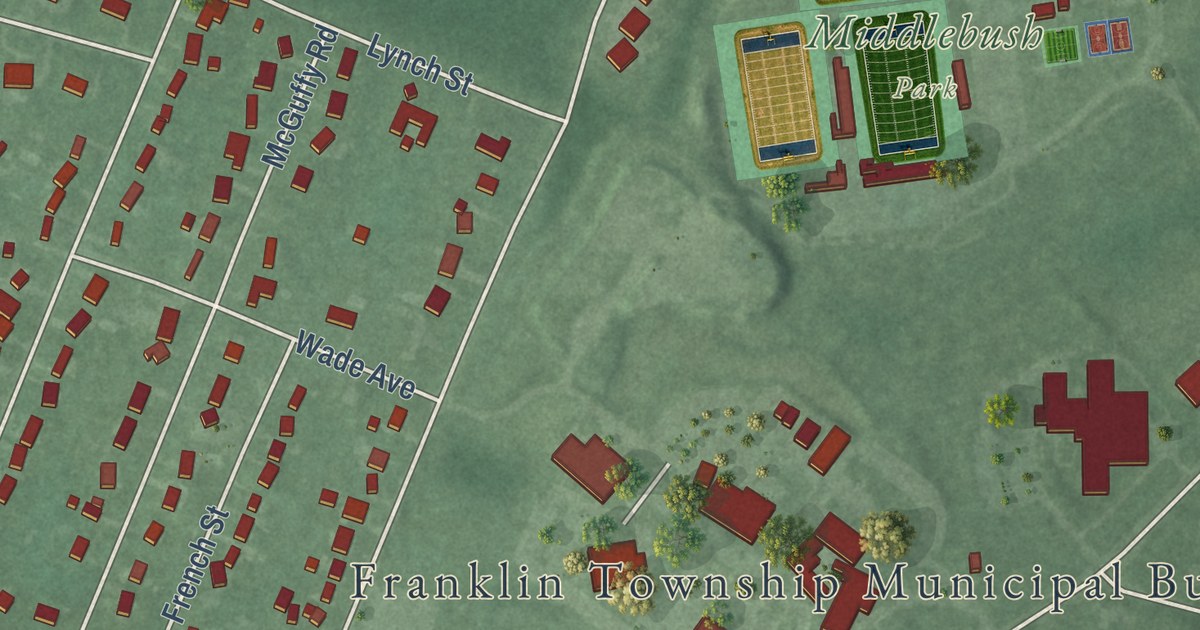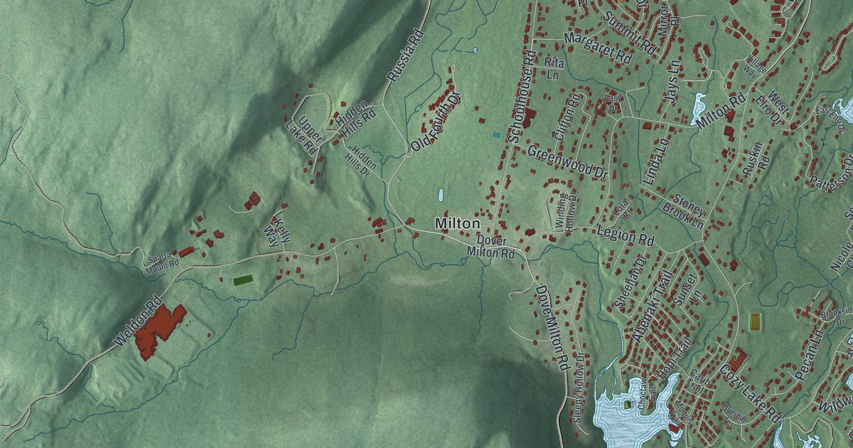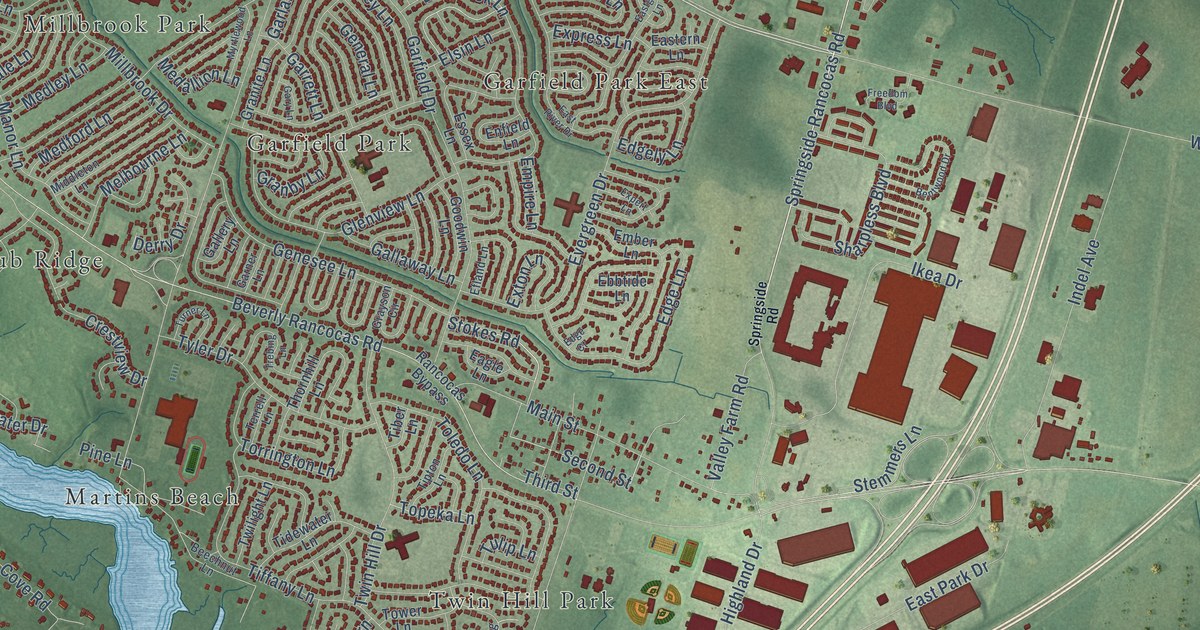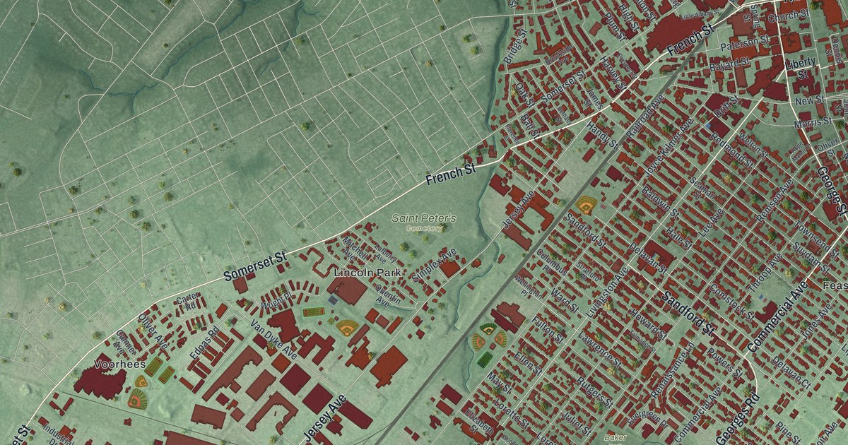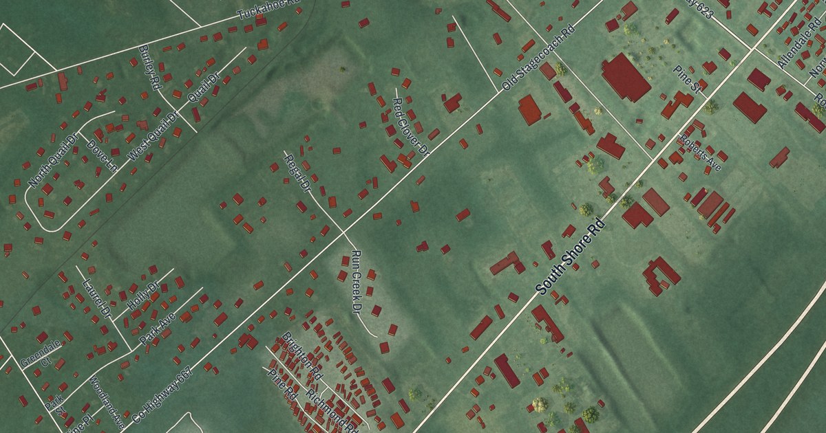
This beautifully detailed map of Marmora, New Jersey was created in 2026 using aerial imagery combined with modern topographical, census, street and landmark data. It’s a one-of-a-kind view of Marmora that combines accurate data with a vintage aesthetic. The map shows every building in its true location, many of the roads carry their names, and the shaded topographic relief shows the shape of the land.
Explore an aerial view of Marmora, New Jersey
On the map you’ll find Seaside Cemetery, Rte US 9 South, and Saint Andrews Place, along with South Shore Road, North Shore Road, Tuckahoe Road, County Highway 662, Old Tuckahoe Road, County Highway 623, Roosevelt Boulevard, North Old Tuckahoe Road, Randolf Boulevard, and more. Marmora sits about 2 miles southwest of Beesleys Point, 2 miles northeast of Palermo and 3 miles west of Ocean City. If you look closely you can even find your house accurately drawn in its correct location. Zoom in on the preview to look for yours.
Take a closer look at the Marmora map
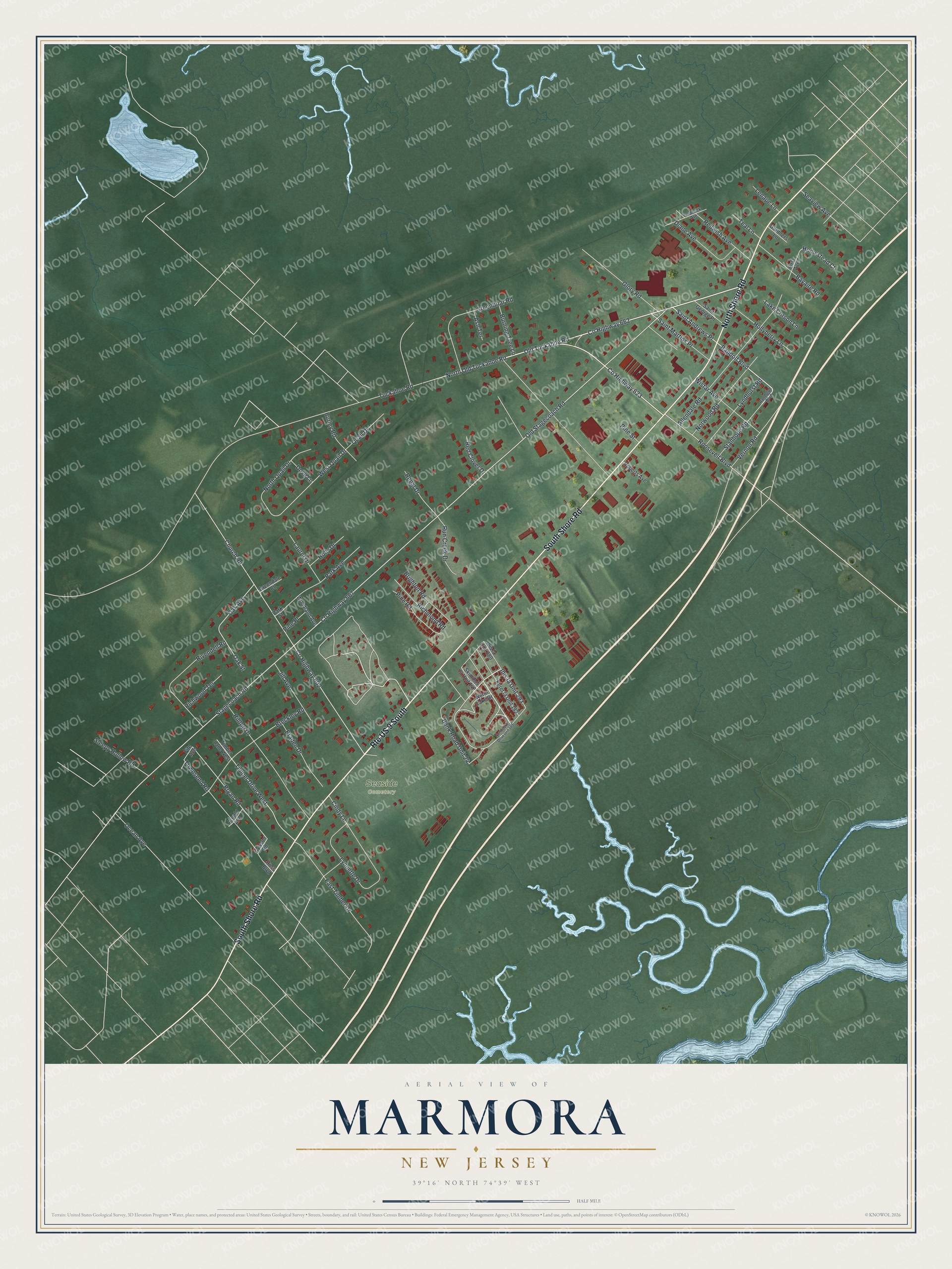
Names on this map
These names are printed on this map.
Places: Seaside Cemetery.
Streets and roads: Route US 9 South, South Shore Road, North Shore Road, Tuckahoe Road, County Highway 662, Old Tuckahoe Road, County Highway 623, Roosevelt Boulevard, Saint Andrews Place, North Old Tuckahoe Road, Randolf Boulevard, Ibis la Unit 293.
More street names, A to Z
Allendale Road, Arnold Avenue, Ash Terrace, Bank Road Unit 24, Bayaire Road, Braden Drive, Breckley Road, Brighton Road, Bryan Road, Burley Road, Burning Tree Lane, Church Road, Cindy Lane, County Highway 602, County Highway 667, Diane Avenue, Dove Lane, East Timber Drive, Egret la Unit 192, First Avenue, Fite Avenue, Frederick Avenue, Gardners Lane, Glory Road, Greenbriar Road, Greendale Court, Hilltop Drive, Hollyberry Lane, Holly Drive, Homestead Court, Ibis la Unit 280, Jill Avenue, Lake Corson Lane, Laurel Drive, Lawson Road, Lenape Lane, Lyndhurst Road, Lynnette Drive, North Lake Drive, North Lake Drive Unit 189, North Quail Drive, Norwood Road, Oak Avenue, Oak Street, Ocean Avenue, Old Stagecoach Road, Park Avenue, Park Street, Pine Place, Pine Road, Pine Street, Quail Drive, Randolph Boulevard, Red Clover Drive, Redwish Avenue, Regal Drive, Richmond Road, Richwood Terrace, Rivendell Road, Roberts Avenue, Ross Boulevard, Run Creek Drive, Saint George Place, Saint Martins Place, Seaview Avenue, Skimmer la Unit 142, Sleepy Hollow Road, Stagecoach Road, Stanhope Road, Teal Lane, Timber Drive West, Timber Lane West, Townsend Road, Vernon Road, West Quail Drive, Wistar Avenue, Woodland Avenue.
See it on a wall
The Marmora map as an 18 x 24 inch print in a black frame.

This beautifully detailed map of Marmora makes an attractive addition to your office, library, or den, and it can even be used to teach children the geography and history of the area. It also makes a great gift for anyone with Marmora roots. When you’re done exploring, click here to get your copy of the Marmora map.