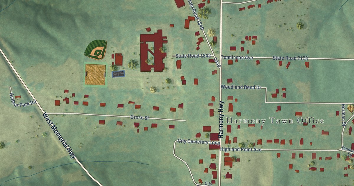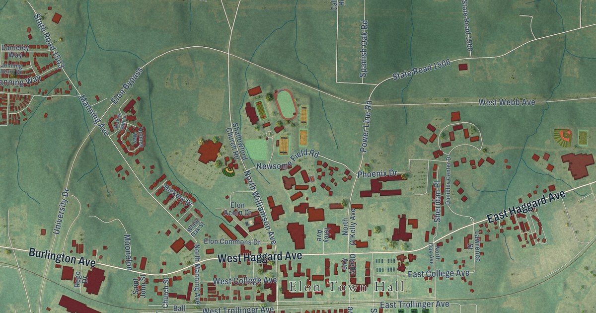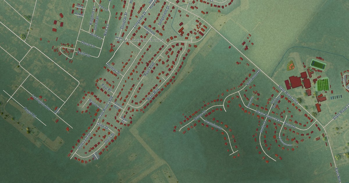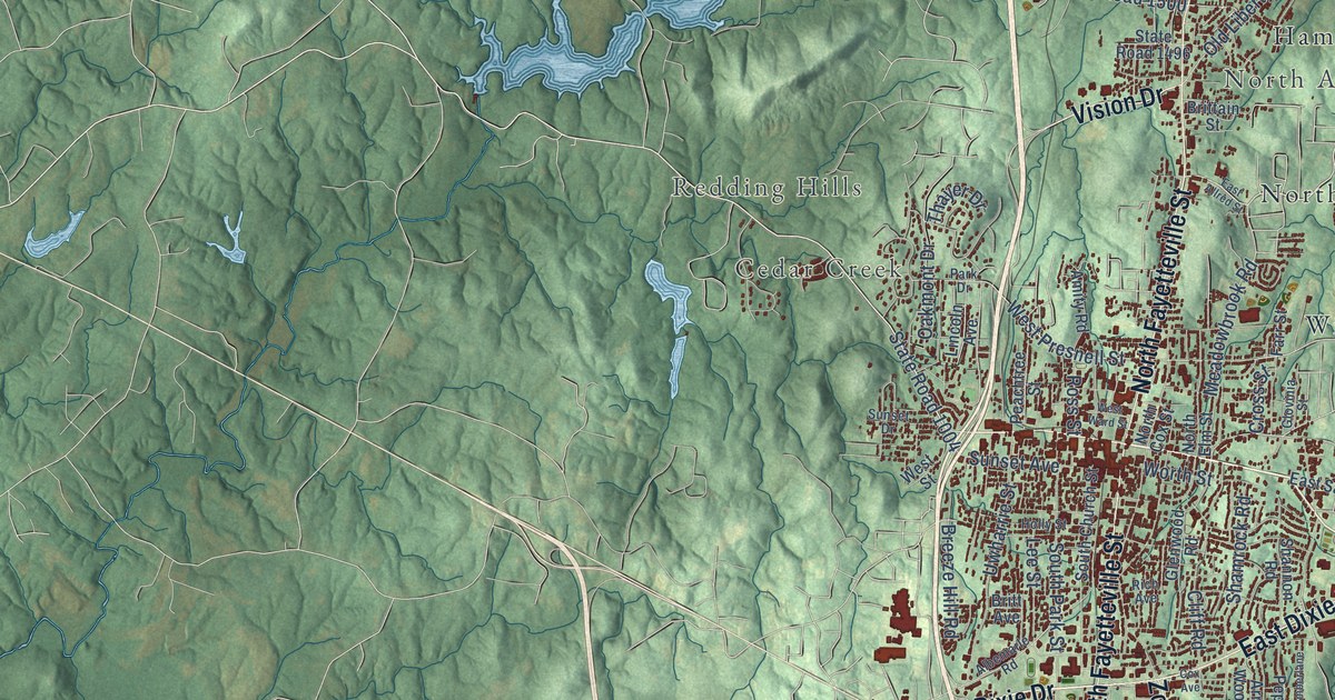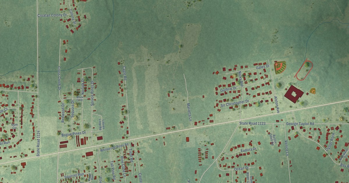
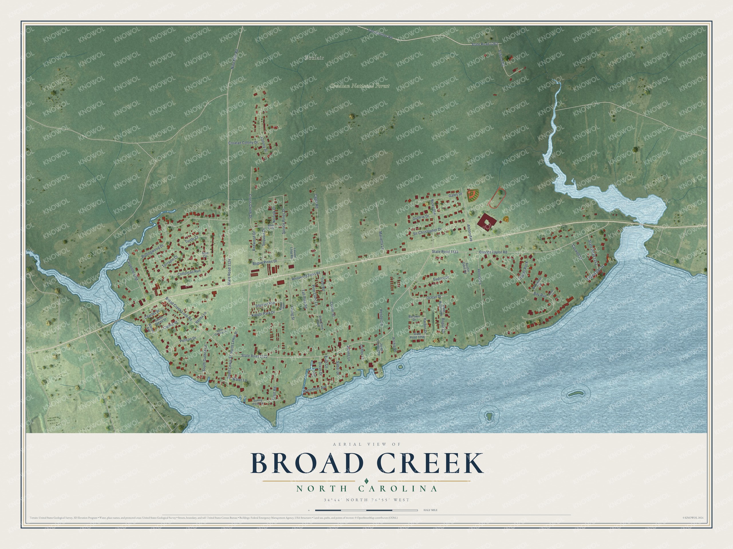
This beautifully detailed map of Broad Creek, North Carolina was created in 2026 using aerial imagery combined with modern topographical, census, street and landmark data. It's a modern aerial view of Broad Creek in Carteret County, North Carolina, that combines modern data with a vintage aesthetic. The roads feature printed names, and if you look closely you can find your exact house accurately shown in its correct location.
Explore an aerial view of Broad Creek, North Carolina
On this map you'll find Foxlair, Croatan National Forest, Karobi Park Drive, Young Street, State Road 1263, Broad Creek Loop Road, State Road 1122, Nine Mile Road, State Road 1124, George Taylor Road, State Road 1123, Rollingwood Drive, and more. Each red shape is a building, so zoom in on the preview and look for yours.
Broad Creek is a community in Carteret County. The Census Bureau counted 1,968 people here in 2020. Broad Creek sits about 3 miles southwest of Newport, 4 miles north of Indian Beach and 5 miles west of Brandywine Bay. The map prints the town name in its title panel, with the coordinates below it.
Take a closer look at the Broad Creek map
Names on this map
These names are printed on this map.
Places: Foxlair and Croatan National Forest.
Streets and roads: Karobi Park Drive, Young Street, State Road 1263, Broad Creek Loop Road, State Road 1122, Nine Mile Road, State Road 1124, George Taylor Road, State Road 1123, Rollingwood Drive, Bay Run, Sam Hatcher Road.
More street names, A to Z
Adams Lane, Alston Avenue, Archie Place, Austin Odell Road, Banks Lane, Barbour Drive, Bluewater Circle, Bobs Lane, Bogue Drive, Bogue Pines Drive, Cactus Street, Cagle Road, Carpenters Road, Caswell Drive, Center Street, Charles Street, Colony Street, Cottontail Run, Cribbs Lane, Croatan Colony Drive, Cross Creek Drive, Dixon Drive, Dixon Lane, Eckerd Road, Edgewater Street, Eudora Drive, Frost Road, Gales Drive, Gum Circle, Guthrie Drive, Harbor Drive, Jones Landing Road, Lauren Loop Road, Marietta Lane, Nicks Avenue, Norfolk Drive, North Guthrie Lane, North Lewis Street, Ocean Drive, Oyster Rock, Pelican Drive, Pender Lane, Pine Cone Lane, Pine Cove Cave, Rabbit Run, Redwood Drive, Salter Drive, Sequoia Drive, Sir Christopher Drive, South Guthrie Lane, South James Street, South Lewis Street, Spruce Pines Drive, Squirrel Run, State Road 1142, State Road 1255, State Road 1256, Sunny Point Lane, Tall Pine Road, Terrapin Court, Trent Road, Turtle Court, Velma Lane, Venice Lane, Warren Avenue, Waterfront Avenue, Water Lane, Whispering Pines Road, White Fir Drive.
See it on a wall
The Broad Creek map as a framed print. Swipe for more.


Created by KNOWOL in 2026. The buildings are small red shapes, the roads carry their printed names, and shaded relief shows the shape of the land. The title panel reads "AERIAL VIEW OF BROAD CREEK, NORTH CAROLINA" with 34°44' NORTH 76°55' WEST.
Hang it in the hallway, the office or the cabin, or give it to someone who left Broad Creek and still calls it home. Open the preview and look for a street you know. See sizes and frames for the Broad Creek map.