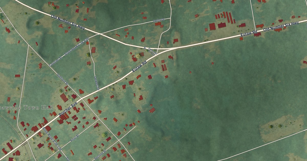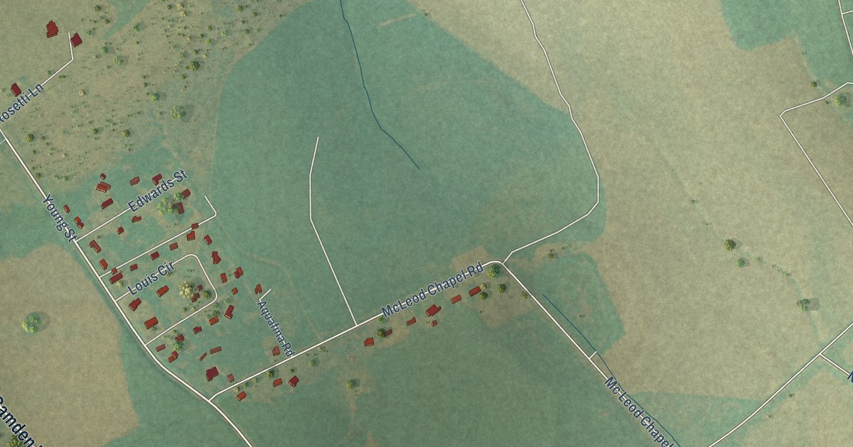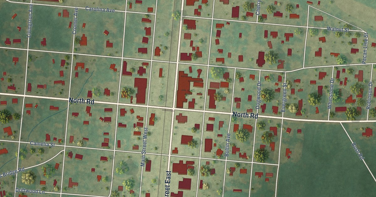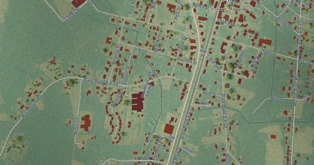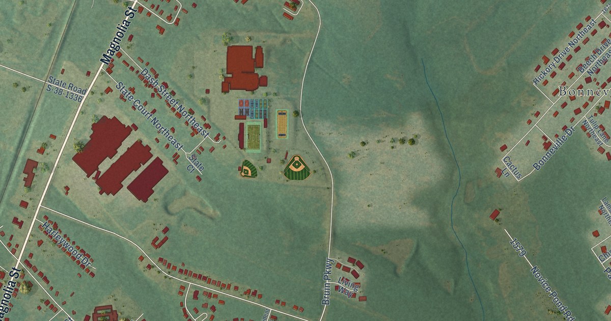
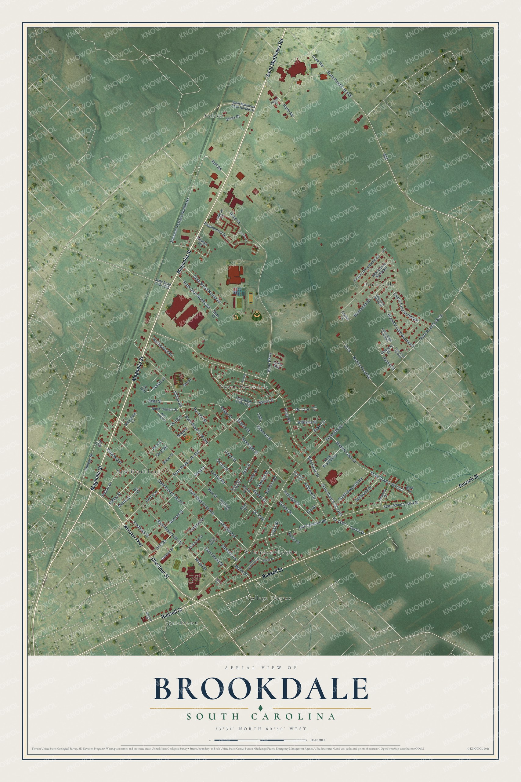
This beautifully detailed map of Brookdale, South Carolina was created in 2026 using aerial imagery combined with modern topographical, census, street and landmark data. It's a modern aerial view of Brookdale in Orangeburg County, South Carolina, that combines modern data with a vintage aesthetic. The roads feature printed names, and if you look closely you can find your exact house accurately shown in its correct location.
Explore an aerial view of Brookdale, South Carolina
On this map you'll find North Brookdale, Quicktown, Stilton, Bonneville, New Brookland, Wilkinson Heights, College Terrace, Magnolia Street, Saint Matthews Road, Russell Street, Chestnut Street, State Road S-38 906, and more. Each red shape is a building, so zoom in on the preview and look for yours.
Brookdale is a community in Orangeburg County. The Census Bureau counted 3,845 people here in 2020. Brookdale sits about 2 miles north of Wilkinson Heights, 2 miles northeast of Orangeburg and 5 miles northeast of Edisto. The map prints the town name in its title panel, with the coordinates below it.
Take a closer look at the Brookdale map
Names on this map
These names are printed on this map.
Places: North Brookdale, Quicktown, Stilton, Bonneville, New Brookland, Wilkinson Heights and College Terrace.
Streets and roads: Magnolia Street, Saint Matthews Road, Russell Street, Chestnut Street, State Road S-38 906, Ruff Road, Solomon Terrace Northeast, Bruin Parkway, Belleville Road, State Road S-38-29, State Road S-38-1165, Kings Road.
More street names, A to Z
Alva Street, Anna Street, Aristocrat Street, Ashland Drive, Ashley Street, Baker Street, Beech Drive Northeast, Belle Terrace, Bernadette Lane, Beulah Street, Bliss Lane, Bonneville Drive, Bramble Lane Northeast, Brookdale Drive, Bruin Drive, Buckley Street, Cactus Lane, Campus Drive, Campus Street, Chavous Street, Cherry Lane Northeast, Chisholm Drive, Coleman Avenue, College Street, Congress Lane, Cook Road, Corina Street, Crawford Street, Dash Street Northeast, Dellwood Drive, Desoto Street, Elm Street, Felder Street, Ferris Street, Frederick Street, Fuller Street, Goff Avenue, Golson Drive, Harleywood Drive, Harmon Street, Hickory Drive Northeast, Hutto Road, Irvin Street, Jamison Avenue, Judicial Circle, Kennedy Drive, Lamar Drive Northeast, Lamar Street Northeast, Larkin Drive, Lawton Road, Living Way, Logan Street, Mack Street, McLaine Drive, Mingo Street, Morris Street, Muller Street, Nance Street, New Wilkinson Avenue, Nix Street, Norman Street, North Briarcliff Road, North Triangle Street, Novice Pond Road, Oakridge Drive, Oc 1207, Oc 1214, Oc 1221, Oc 1223, Oc 1224, Oc 1226, Oc 1227, Oc1233, Oc 1234, Old Cameron Road, Palmer Street, Pelham Court, Poplar Drive, Presidential Drive, Resident Lane, Saint Ann Street, Saint Court, Saint David Street, Saint Matthews Road Northeast, Sawaga Street, Scisa Dt, Seawright Street, Seba Street, Shadow Lawn Drive, Shuler Street, Solomon Terrace, South Briarcliff Road, Spartan Street, Staley Street, State Court, State Court Northeast, State Road S-38-470, State Road S-38-677, State Road S-38-678, State Road S-38-797, State Road S-38-800, State Road S-38-801, State Road S-38-857, State Road S-38-1178, State Road S-38-1336, State Road S-38-1337, State Road S-38-1422, State Road S-38-1780, Stilton Road, Sullens Street, Swinton Road, Terry Street, Tulip Lane Northeast, Ulmer Street, West Octagon Street, Whitaker Parkway, Williams Street.
See it on a wall
The Brookdale map as a framed print. Swipe for more.


Created by KNOWOL in 2026. The buildings are small red shapes, the roads carry their printed names, and shaded relief shows the shape of the land. The title panel reads "AERIAL VIEW OF BROOKDALE, SOUTH CAROLINA" with 33°31' NORTH 80°50' WEST.
It suits a den, a classroom or a front hall, and it makes a gift for anyone with Brookdale roots. Open the preview and find the block you know. See sizes and frames for the Brookdale map.