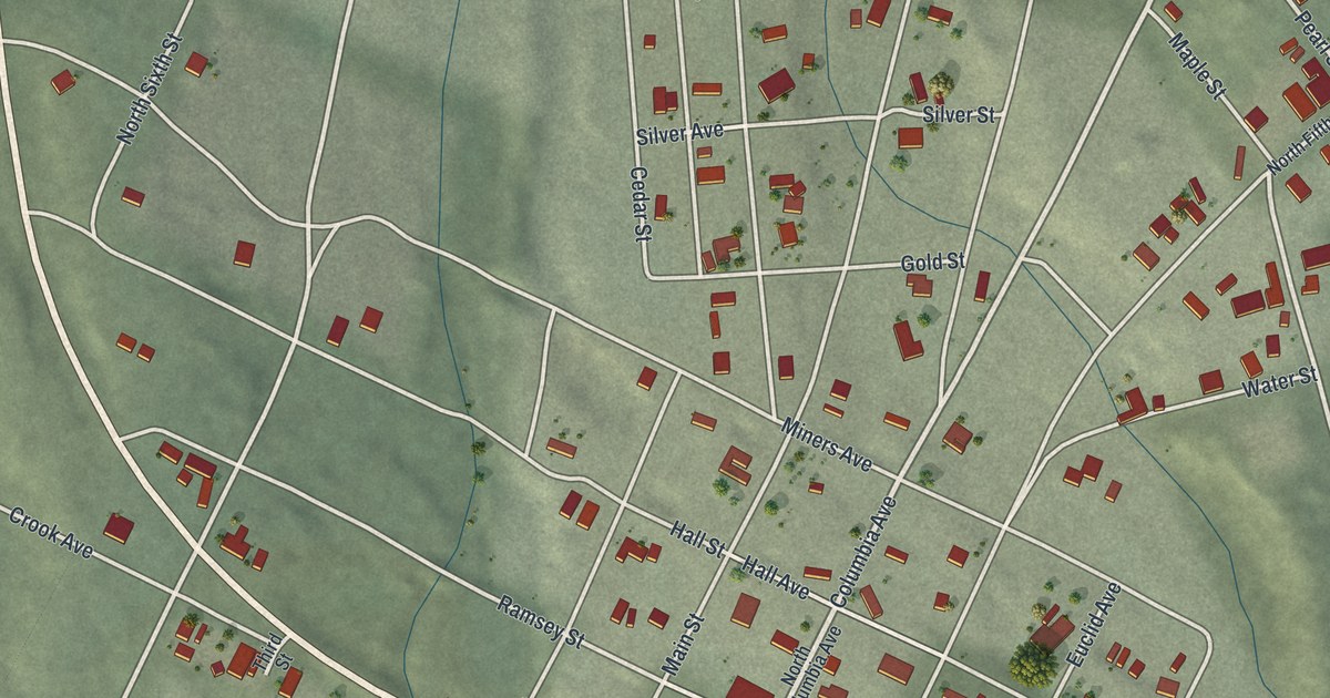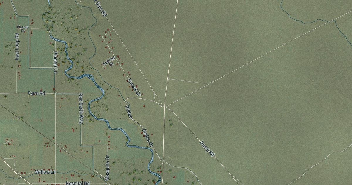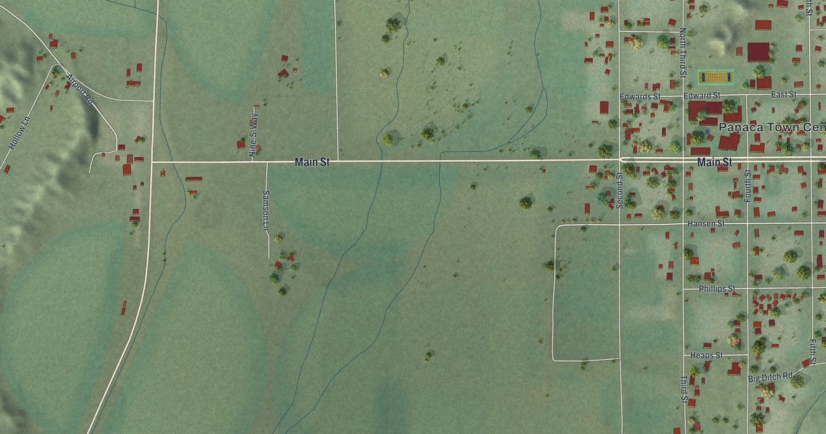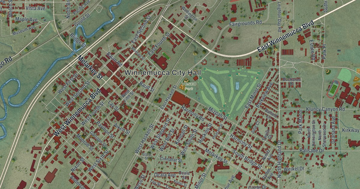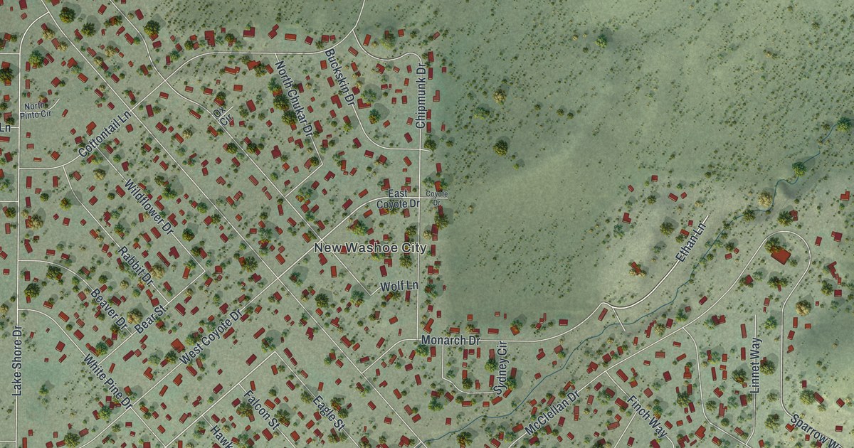
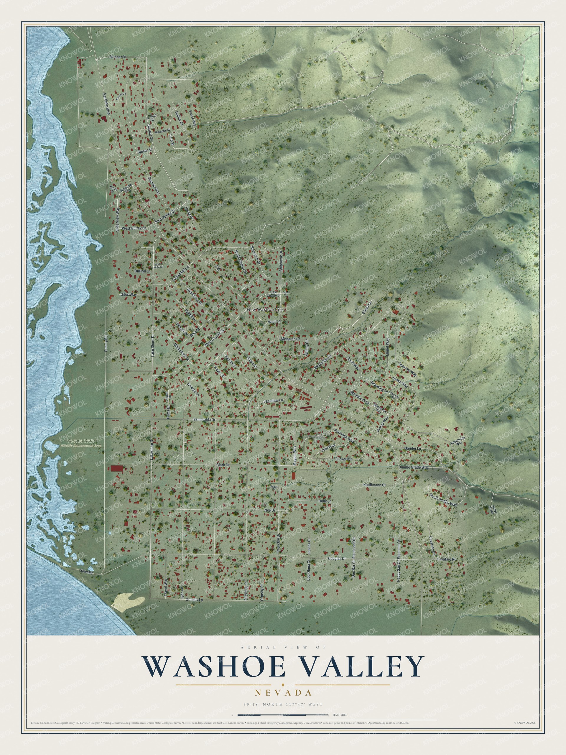
This beautifully detailed map of Washoe Valley, Nevada was created in 2026 using aerial imagery combined with modern topographical, census, street and landmark data. It's a modern aerial view of Washoe Valley in Washoe County, Nevada, that combines modern data with a vintage aesthetic. The roads feature printed names, and if you look closely you can find your exact house accurately shown in its correct location.
Explore an aerial view of Washoe Valley, Nevada
On this map you'll find New Washoe City, Scripps State Wildlife Management Area, Dunbar Drive, Skinner Drive, East Guffey Drive, Ethan Lane, Puma Drive, Eastlake Boulevard, Lake Shore Drive, Lakeshore Drive, Brenda Way, White Pine Drive, and more. Each red shape is a building, so zoom in on the preview and look for yours.
Every town has a first chapter, and Washoe Valley is no exception. The Washoe County parks department puts it this way: "The unincorporated community of New Washoe City started to be built up in early 1960. Advertisements for one-acre lots and estates were printed in the area newspapers for years." The ads promised a spot midway between Carson City and Reno, views of Washoe Lake and Mount Rose, roads paved with decomposed granite, and land set aside for schools, parks and business.
Washoe Valley is a community in Washoe County. The Census Bureau counted 3,074 people here in 2020.
Take a closer look at the Washoe Valley map
Names on this map
These names are printed on this map.
Places: New Washoe City and Scripps State Wildlife Management Area.
Streets and roads: Dunbar Drive, Skinner Drive, East Guffey Drive, Ethan Lane, Puma Drive, Eastlake Boulevard, Lake Shore Drive, Lakeshore Drive, Brenda Way, White Pine Drive, Douglas Drive, County Road.
More street names, A to Z
Appollonio Way, Bear Street, Beaver Drive, Bluewing Lane, Bluewing Way, Brenda Circle, Bruce Drive, Buckskin Drive, Cavataio Road, Cavatalo Circle, Chipmunk Drive, Chukar Drive, Churchill Drive, Clark Drive, Coot Way, Cottontail Lane, Coyote Drive, Darilyn Lane, Doc Bar Court, Doc Olena Court, Drake Way, Dunbar Circle, Eagle Street, East Coyote Drive, Esmeralda Drive, Eunice Way, Falcon Street, Finch Way, Flicker Circle, Gander Lane, Giles Way, Guffey Drive, Hawk Street, Hickock Street, Holly Lane, Irving Place, Jackdaw Lane, Jacobs Court, Jumbo Grade, Jumbo Grade Way, Kauffmann Court, Kristan Lane, Linnet Way, Lord Street, Lyon Lane, Magpie Way, McClellan Drive, Monarch Drive, North Chukar Drive, North Pinto Circle, Nye Drive, Ormsby Lane, Ormsby Place, Ox Circle, Partridge Way, Peponita Court, Peppy San Court, Pershing Lane, Pintail Way, Poco Lena Court, Rabbit Drive, Slide View Way, Slideview Way, South Jumbo Way, Sparrow Way, Spicer Street, Spwa98, Sydney Circle, Travel Way, Vegas Circle, West Coyote Drive, West Guffey Drive, Wildflower Drive, Wolf Lane, Woodcock Lane, Woodcock Way.
See it on a wall
The Washoe Valley map as a framed print. Swipe for more.


Created by KNOWOL in 2026. The buildings are small red shapes, the roads carry their printed names, and shaded relief shows the shape of the land. The title panel reads "AERIAL VIEW OF WASHOE VALLEY, NEVADA" with 39°18' NORTH 119°47' WEST.
Hang it in the hallway, the office or the cabin, or give it to someone who left Washoe Valley and still calls it home. Open the preview and look for a street you know. See sizes and frames for the Washoe Valley map.