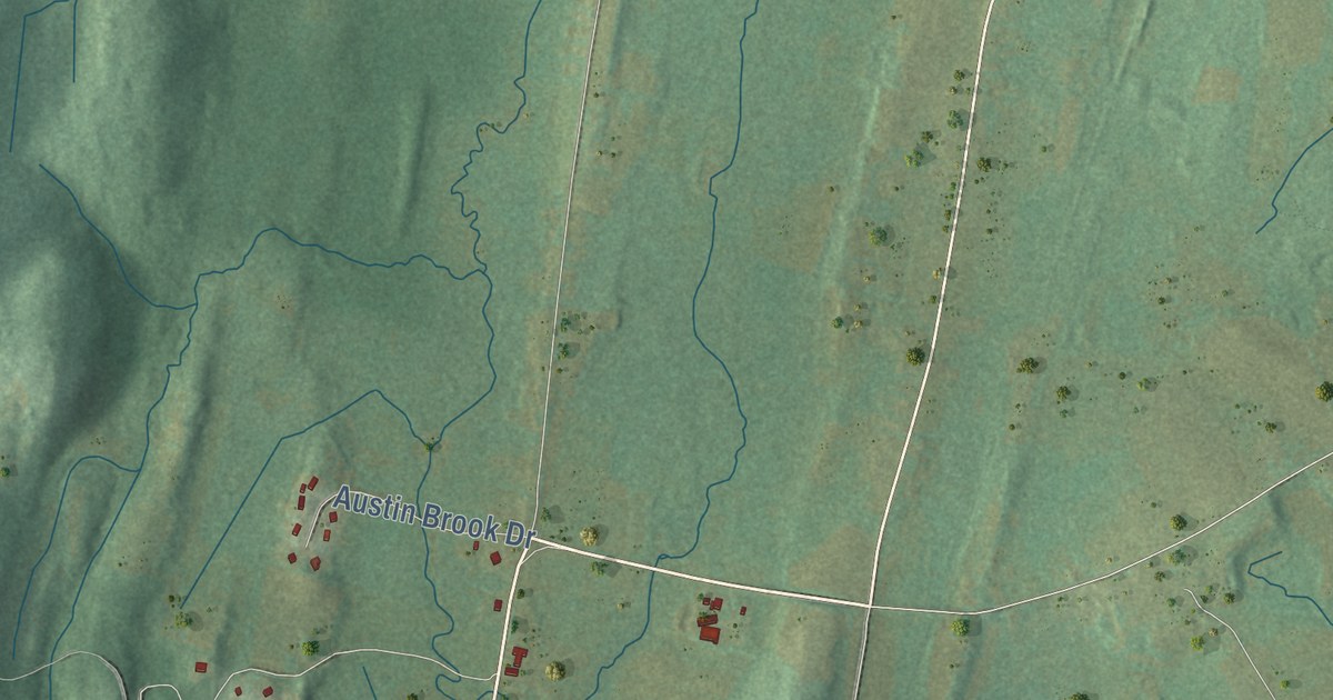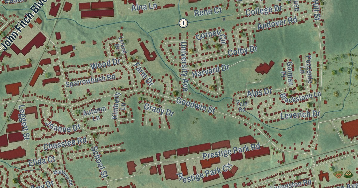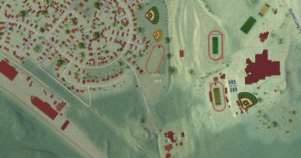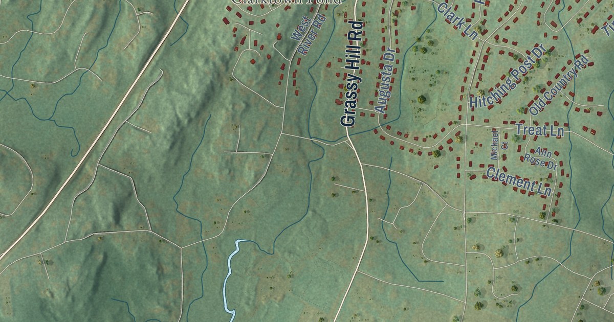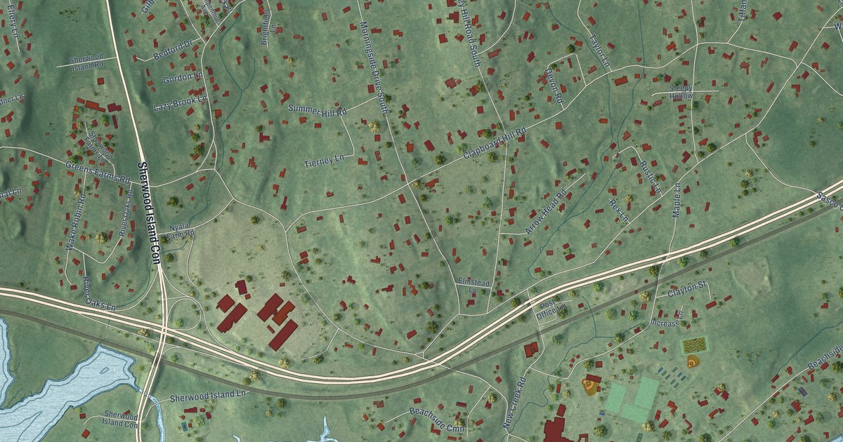
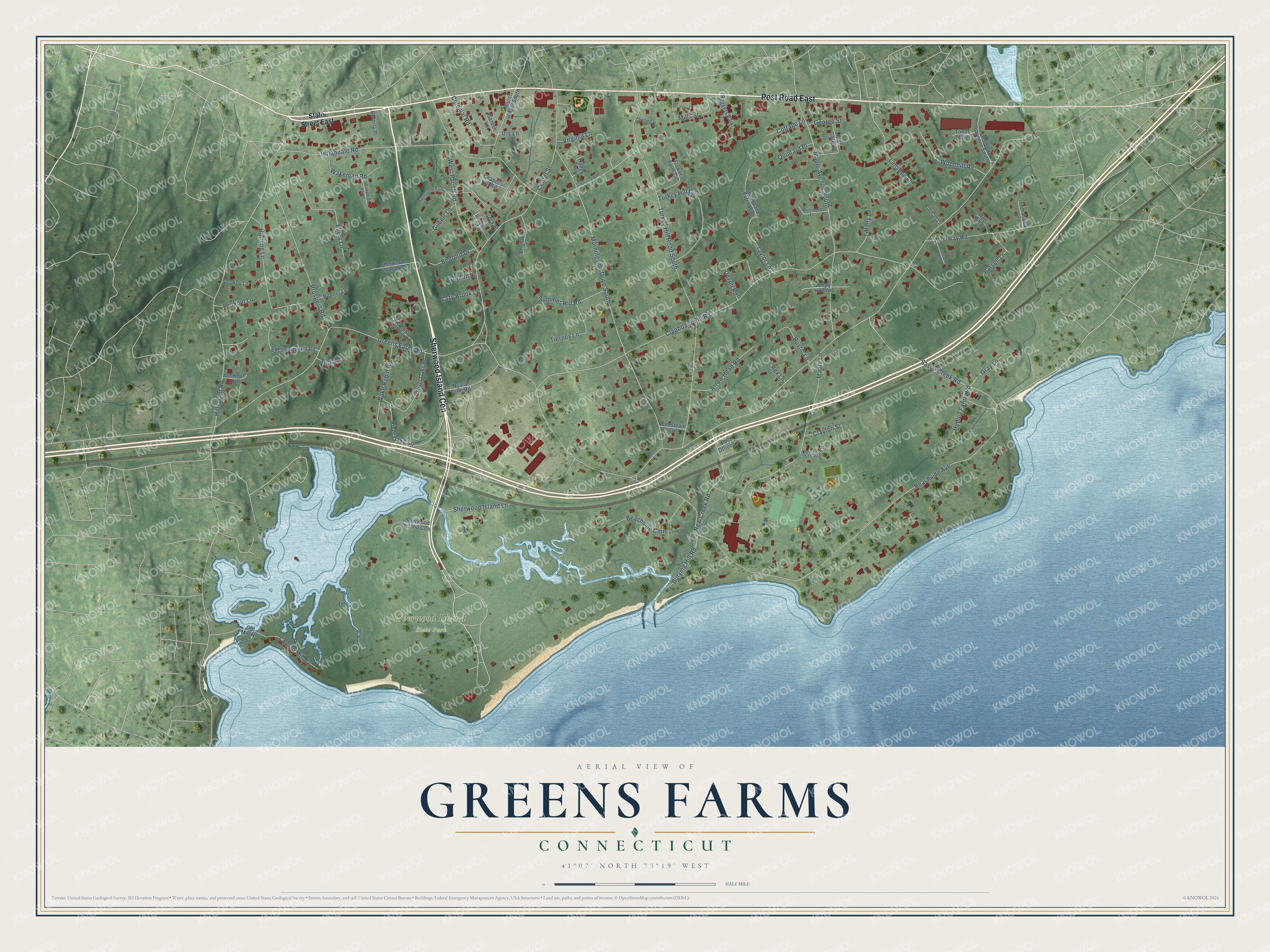
This beautifully detailed map of Greens Farms, Connecticut was created in 2026 using aerial imagery combined with modern topographical, census, street and landmark data. It's a modern aerial view of Greens Farms in Western Connecticut Planning Region, Connecticut, that combines modern data with a vintage aesthetic. The roads feature printed names, and if you look closely you can find your exact house accurately shown in its correct location.
Explore an aerial view of Greens Farms, Connecticut
On this map you'll find Sherwood Island State Park, Post Road East, Sherwood Island Con, Greens Farms Road, Beachside Avenue, Clapboard Hill Road, Hillandale Road, Turkey Hill Road South, Hillspoint Road, Center Street, Maple Avenue South, Maple Lane, and more. Each red shape is a building, so zoom in on the preview and look for yours.
Greens Farms is a community in Western Connecticut Planning Region. The Census Bureau counted 3,125 people here in 2020. Greens Farms sits about 2 miles east of Compo, 2 miles west of Southport and 2 miles south of Staples. The map prints the town name in its title panel, with the coordinates below it.
Take a closer look at the Greens Farms map
Names on this map
These names are printed on this map.
Places: Sherwood Island State Park and Regents Park.
Streets and roads: Post Road East, Sherwood Island Con, Greens Farms Road, Beachside Avenue, Clapboard Hill Road, Hillandale Road, Morningside Drive South, Turkey Hill Road South, Hillspoint Road, Center Street, Maple Avenue South, Maple Lane.
More street names, A to Z
Arrow Head Road, Beachside Cmn, Bedford Drive, Beverly Place, Blossom Lane, Brightfield Lane, Budner Lane, Bulkley Avenue South, Burying Hill Road, Canning Lane, Chapel Hill Road, Church Street South, Clayton Street, Colonial Road, Compo Mill Cv, Cottage Lane, Devon Road, Edgemarth Hill Road, Ellery Lane, Elmstead Lane, Flower Farm Circle, Garden Lane, George Street, Gilbert Lane, Gordon Lane, Gray Lane, Harding Lane, Hedley Farms Road, High Gate Road, Hilltop Trail, Increase Lane, Iris Lane, Kirock Place, Lansdowne, Lazy Brook Lane, Lookout Lane, Lookout Trail, Mills Street, New Creek Road, Nyala Farm Road, Old Mill Road, Parsell Lane, Post Office Lane, Pritchard Lane, Prospect Road, Quintard Place, Rex Lane, River Oaks Lane, River Oaks Road, Robin Hill Road, Roshab Lane, Rumpenmile Avenue, Rustic Lane, Sasco Creek Road, Sherwood Farms Lane, Sherwood Island Lane, Sherwood Island Road, Signal Lane, Sleepy Hollow, Smokey Lane, State Street East, Summer Hill Road, Taylor Lane, Taylor Lane Extended, Tierney Lane, Tiffany Lane, Todds Way, Tomahawk Lane, Turkey Hill Circle, Virginia Lane, Wakeman Acres, Wakeman Road, Wake Robin Road, West Parish Road, Westway Road, Woodhill Road, Wynfromere Lane.
See it on a wall
The Greens Farms map as a framed print. Swipe for more.


Created by KNOWOL in 2026. The buildings are small red shapes, the roads carry their printed names, and shaded relief shows the shape of the land. The title panel reads "AERIAL VIEW OF GREENS FARMS, CONNECTICUT" with 41°07' NORTH 73°19' WEST.
It suits a den, a classroom or a front hall, and it makes a gift for anyone with Greens Farms roots. Open the preview and find the block you know. See sizes and frames for the Greens Farms map.