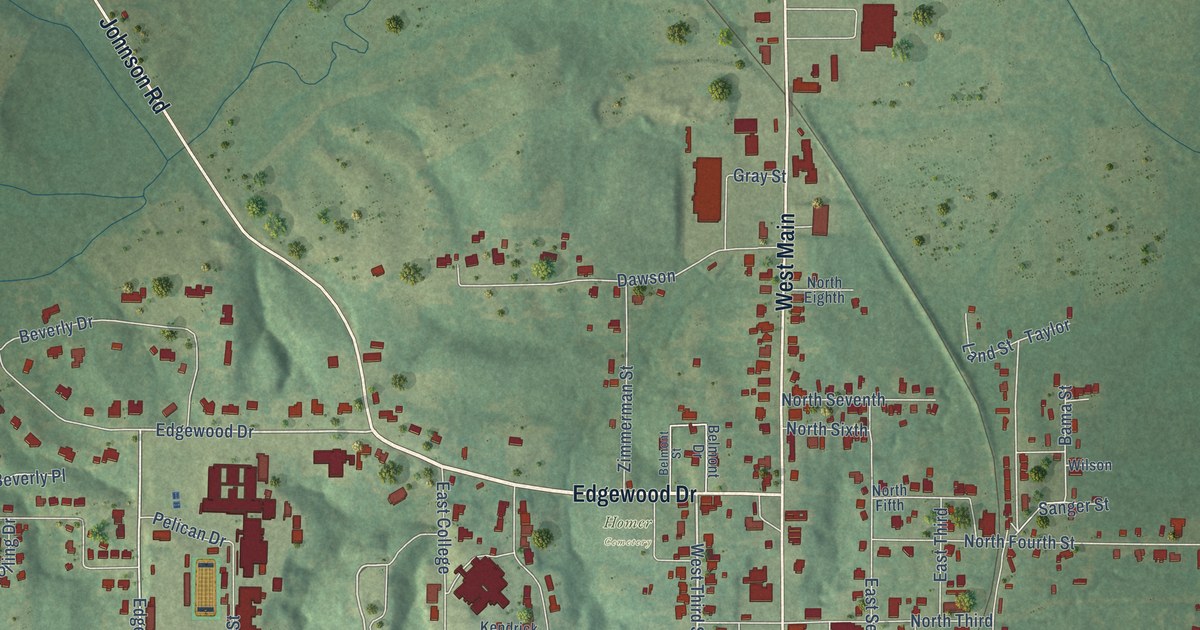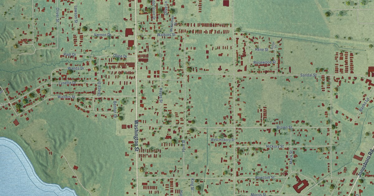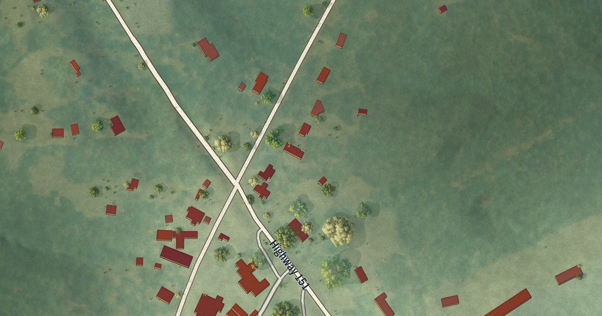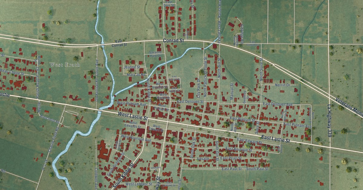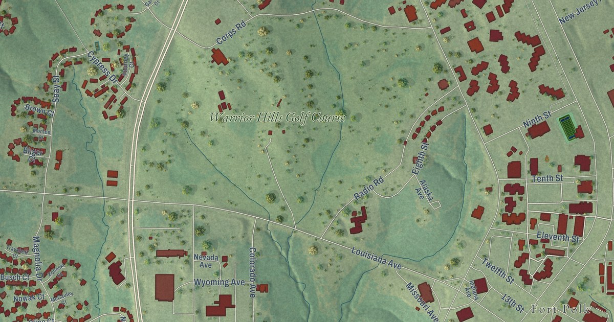
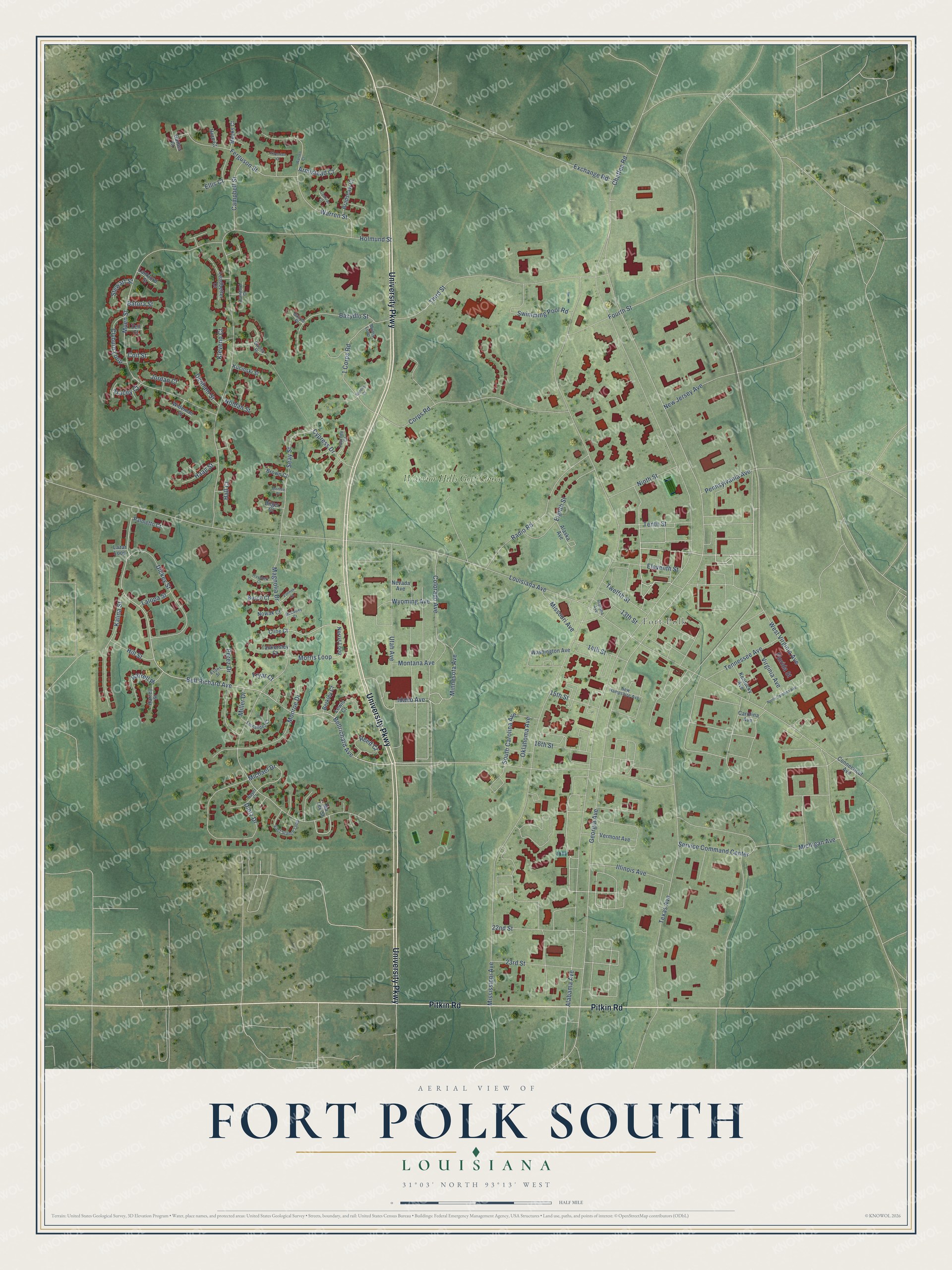
This beautifully detailed map of Fort Polk South, Louisiana was created in 2026 using aerial imagery combined with modern topographical, census, street and landmark data. It’s a one-of-a-kind view of Fort Polk South that combines accurate data with a vintage aesthetic. The map shows every building in its true location, many of the roads carry their names, and the shaded topographic relief shows the shape of the land.
Explore an aerial view of Fort Polk South, Louisiana
On the map you’ll find Fort Polk and Warrior Hills Golf Course, along with University Parkway, Pitkin Road, Bell Richard Avenue, Idaho Avenue, Seay Street, Minnesota Avenue, Georgia Avenue, West Virginia Avenue, Florida Street, 1 Corps Road, and more. Fort Polk South sits about 4 miles southwest of Fort Polk North, 5 miles southeast of New Llano and 7 miles southeast of Leesville. If you look closely you can even find your house accurately drawn in its correct location. Zoom in on the preview to look for yours.
Take a closer look at the Fort Polk South map
Names on this map
These names are printed on this map.
Places: Fort Polk and Warrior Hills Golf Course.
Streets and roads: University Parkway, Pitkin Road, Bell Richard Avenue, Idaho Avenue, Seay Street, Minnesota Avenue, Georgia Avenue, West Virginia Avenue, Florida Street, 1 Corps Road, Louisiana Avenue, Michael Drive.
More street names, A to Z
13th Street, 14th Street, 15th Street, 16th Street, 22nd Street, 23rd Street, Alabama Avenue, Alaska Avenue, Armistead Court, Batora Street, Bazydlo Street, Bazylo Place, Bellrichard Avenue, Berkley Court, Bilger Court, Bradshaw Court, Brown Court, Busch Court, Campbell Street, Carolina Avenue, Chaffee Road, Cline Court, Clyburn Loop, Cochran Court, Coit Street, Colorado Avenue, Connecticut Avenue, Corps Road, Crawford Court, Cypress Drive, Denham Street, Dickey Street, Dietz Drive, East Stance Loop, Eighth Street, Eleventh Street, Ellis Court, Evans Street, Exchange Road, Ferguson Street, Fernandez Court, Fourney Court, Fourth Street, Fryar Court, Garber Court, Gardner Court, Guiney Place, Haag Street, Hall Court, Harrell Place, Harrell Street, Hill Street, Holmund Street, Horn Court, Illinois Avenue, Indiana Avenue, Jordan Court, Kalina Street, Kentucky Avenue, Kleveno Court, Kucinski Street, Lalopa Street, Lankford Street, Lazar Loop, Leadbetter Court, Lewis Court, Magnolia Drive, Ma Lee Street, McCauley Court, Meeks Court, Michigan Avenue, Miller Drive, Mississippi Avenue, Missouri Avenue, Moen Street, Monroe Drive, Montana Avenue, Montee Court, Morris Loop, Mudry Loop, Nevada Avenue, New Hampshire Avenue, New Jersey Avenue, Ninth Street, Noldan Street, Norris Loop, North Carolina Avenue, Nowak Court, Oklahoma Avenue, Palmetto Court, Pennsylvania Avenue, Perez Drive, Radio Road, Reed Court, Sayer Court, Service Command Center, South Carolina Avenue, Stewart Street, Swimming Pool Road, Tankersley Court, Tennessee Avenue, Tenth Street, Texas Avenue, Third Street, Thornton Court, Tracey Court, Traycheff Court, Twelfth Street, Utah Avenue, Vermont Avenue, Virginia Avenue, Warren Court, Warren Street, Washington Avenue, Wideman Court, Wyoming Avenue, Zell Court, Zolinski Court.
See it on a wall
The Fort Polk South map as a framed print. Swipe for more.


This beautifully detailed map of Fort Polk South makes an attractive addition to your office, library, or den, and it can even be used to teach children the geography and history of the area. It also makes a great gift for anyone who grew up in Fort Polk South or moved away. When you’re done exploring, click here to get your copy of the Fort Polk South map.