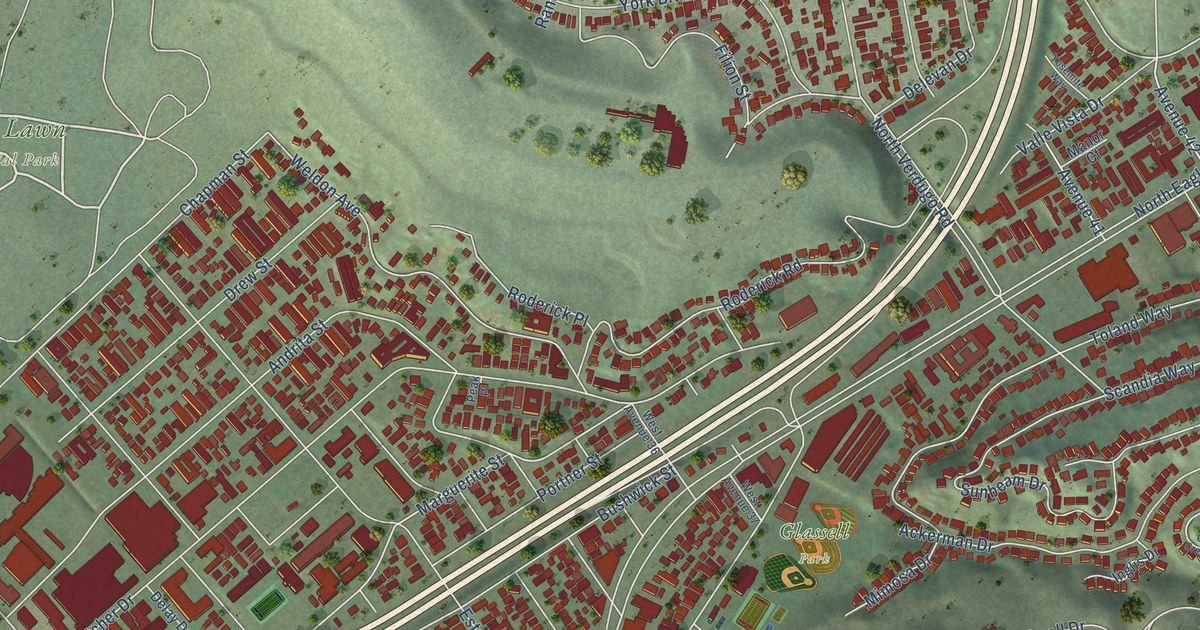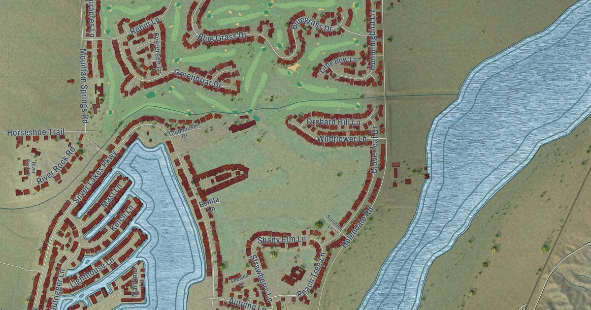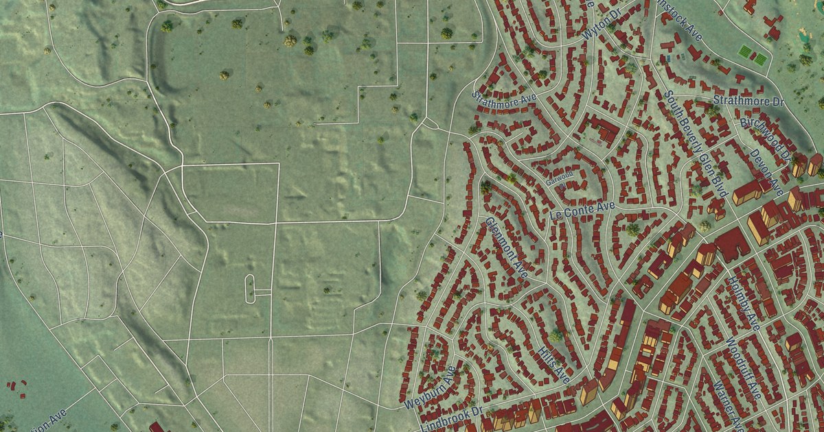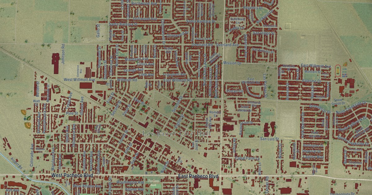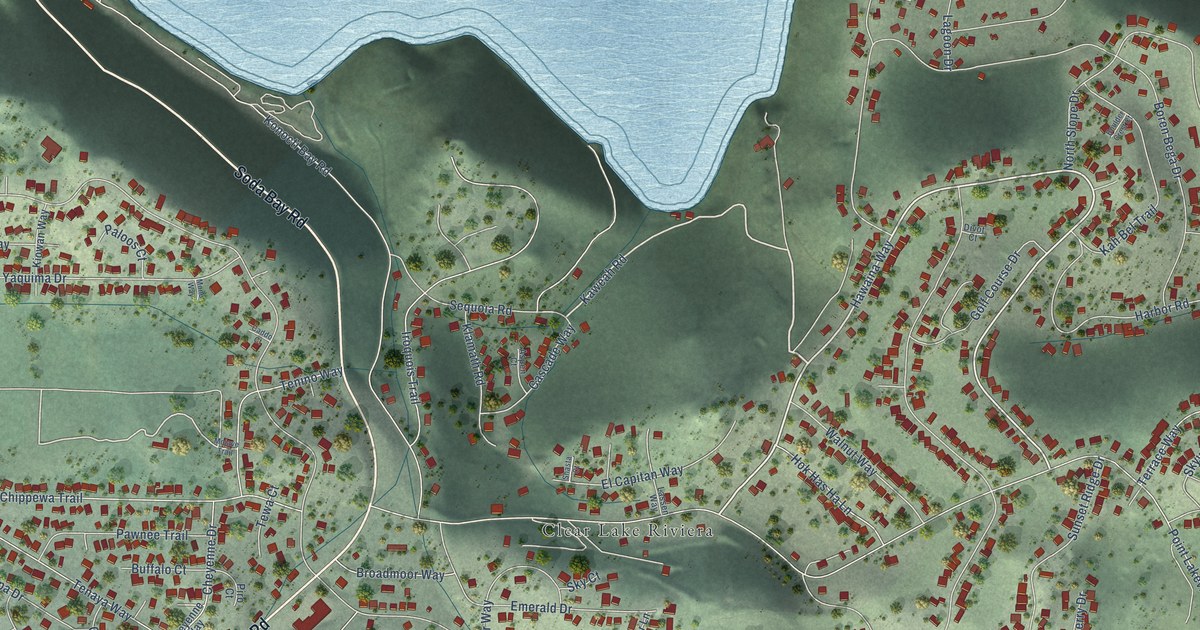
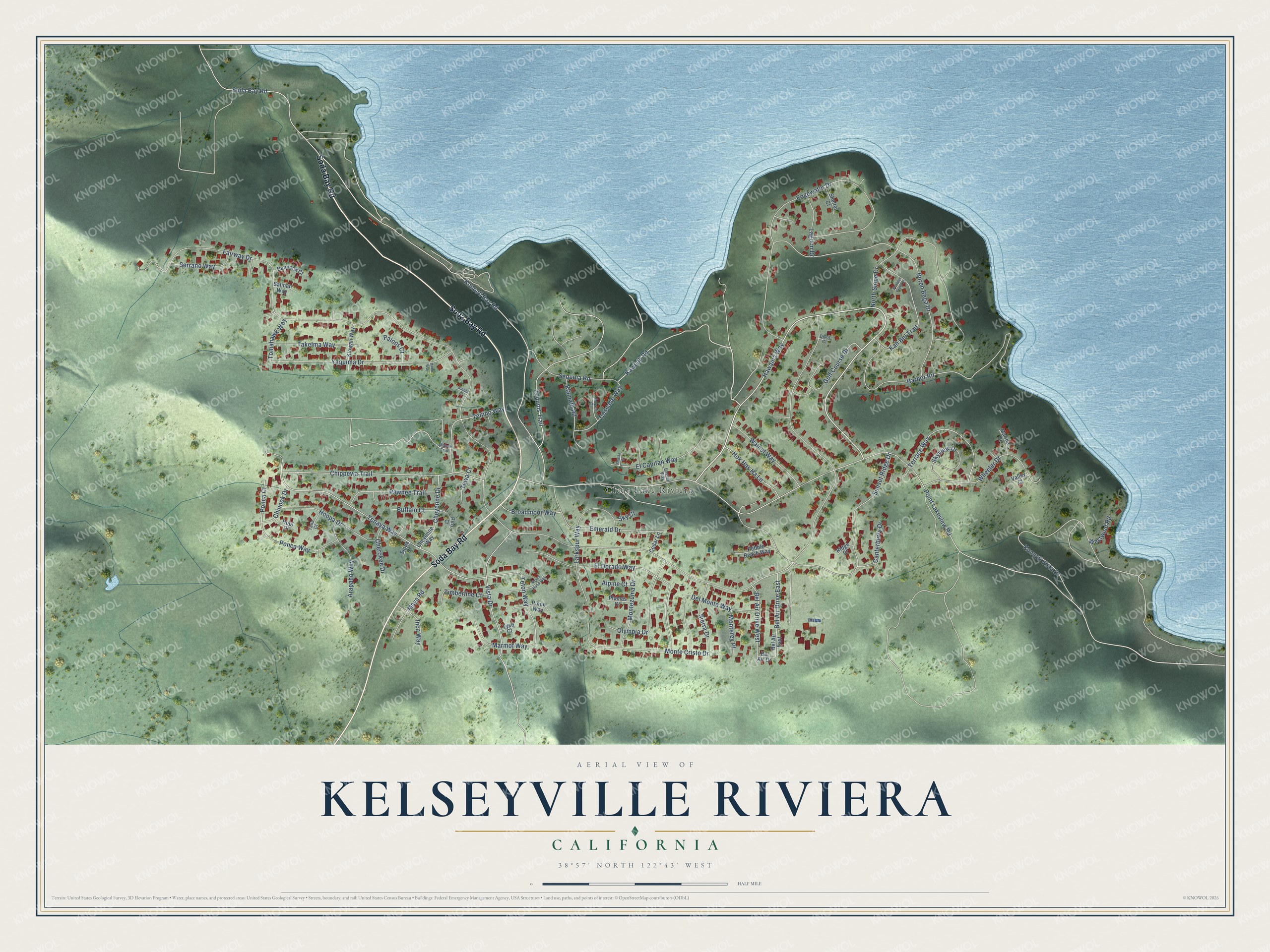
This beautifully detailed map of Kelseyville Riviera, California was created in 2026 using aerial imagery combined with modern topographical, census, street and landmark data. It's a modern aerial view of Kelseyville Riviera in Lake County, California, that combines modern data with a vintage aesthetic. The roads feature printed names, and if you look closely you can find your exact house accurately shown in its correct location.
Explore an aerial view of Kelseyville Riviera, California
On this map you'll find Clear Lake Riviera, Soda Bay Road, Hawaina Way, Kaweah Road, Konocti Bay Road, Ponca Court, Teton Way, Fairway Drive, Point Lakeview Road, Boren Bega Drive, Tenaya Way, Sunset Ridge Drive, and more. Each red shape is a building, so zoom in on the preview and look for yours.
Here is a piece of Kelseyville Riviera history. The Clear Lake Riviera Community Association was established in 1964 in the shadow of Mount Konocti, overlooking Clear Lake, the largest natural lake in California. Its members govern the community themselves, and they later renamed it the Kelseyville Riviera Community Association. That's from the Kelseyville Riviera Community Association.
Kelseyville Riviera is a community in Lake County. The Census Bureau counted 3,410 people here in 2020.
Take a closer look at the Kelseyville Riviera map
Names on this map
These names are printed on this map.
Places: Clear Lake Riviera.
Streets and roads: Soda Bay Road, Hawaina Way, Kaweah Road, Konocti Bay Road, Ponca Court, Teton Way, Fairway Drive, Point Lakeview Road, Boren Bega Drive, Tenaya Way, Sunset Ridge Drive, Harbor Road.
More street names, A to Z
Alpine Court, Arapaho Way, Aspen Court, Bannock Court, Bel Air Drive, Bel Air Drive East, Bel Air Drive West, Bel Air East, Boulder Crest Court, Broadmoor Way, Buffalo Court, Caddo Court, Canterberry Drive, Cascade Way, Cedar Lane, Cherokee Drive, Cheyenne Drive, Cheyenne Way, Chinook Drive, Chippewa Trail, Del Monte Way, Divot Court, Edgewater Drive, El Capitan Way, El Dorado Way, Emerald Drive, Golf Course Drive, Hok Has Ha Lane, Hoopa Drive, Hopi Court, Inca Way, Iroquois Trail, Kah Bel Trail, Kiowan Way, Klamath Road, Konocti Vista Drive, Lagoon Drive, Larkspur Way, Lassen Way, Marina Drive, Marmot Way, Maya Road, Mojave Trail, Mono Way, Monte Cristo Drive, Monterey Place, Montezuma Drive, Mount Hood Way, North Slope Drive, Olympia Drive, Paloos Court, Pawnee Trail, Pebble Beach Way, Pinon Way, Piro Court, Plumas Court, Ponca Way, Ridge Court, Salinan Way, Sequoia Road, Serrano Way, Shasta Court, Shelter Cv, Sierra Drive, Sioux Court, Sky Court, Skyview Drive, Takelma Way, Tenino Way, Terrace Way, Tewa Court, Timberline Court, Tomahawk Way, Tyee Court, Valley Court, Vista Drive, Walnut Way, Westwind Road, Wheeler Drive, Yana Court, Yaquima Drive.
See it on a wall
The Kelseyville Riviera map as a framed print. Swipe for more.


Created by KNOWOL in 2026. The buildings are small red shapes, the roads carry their printed names, and shaded relief shows the shape of the land. The title panel reads "AERIAL VIEW OF KELSEYVILLE RIVIERA, CALIFORNIA" with 38°57' NORTH 122°43' WEST.
It suits a den, a classroom or a front hall, and it makes a gift for anyone with Kelseyville Riviera roots. Open the preview and find the block you know. See sizes and frames for the Kelseyville Riviera map.