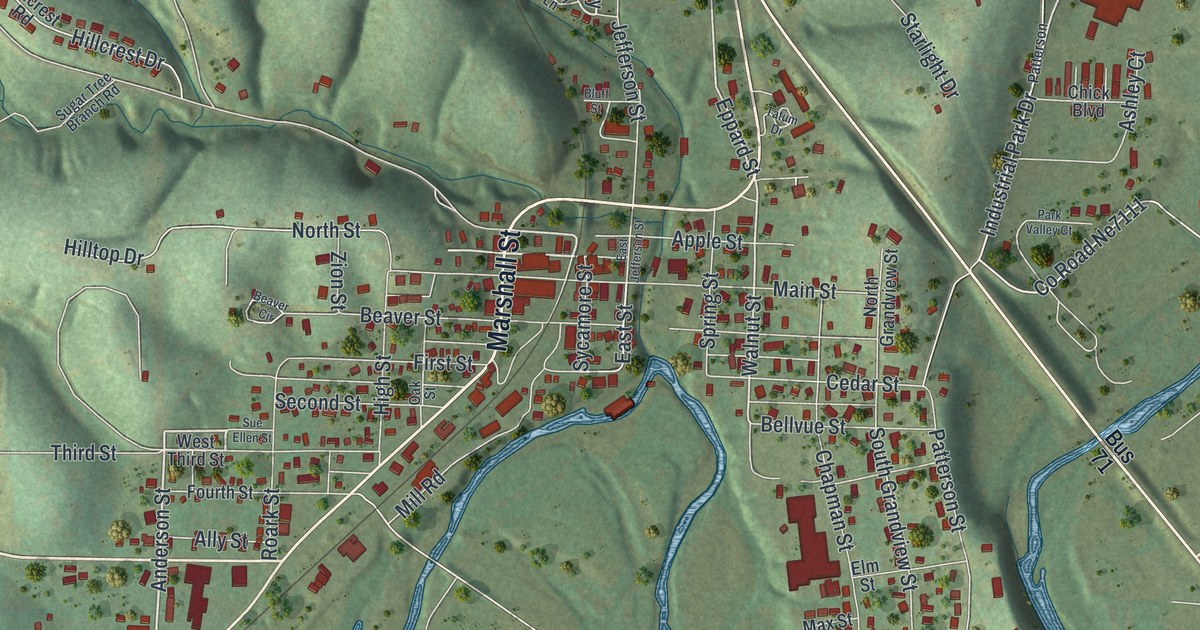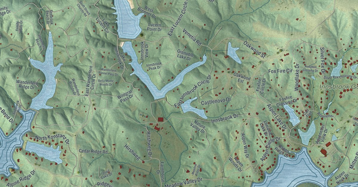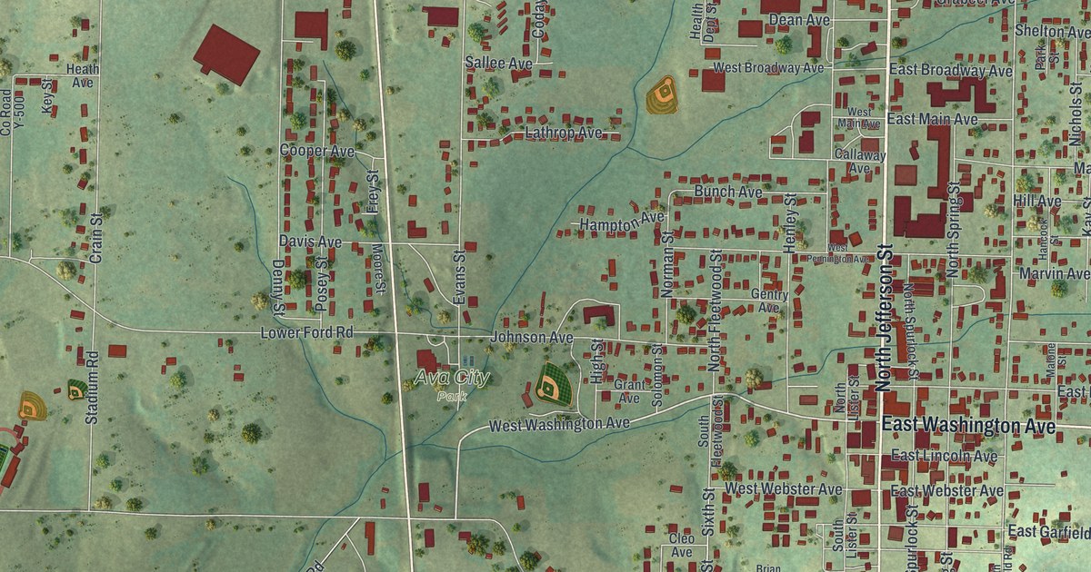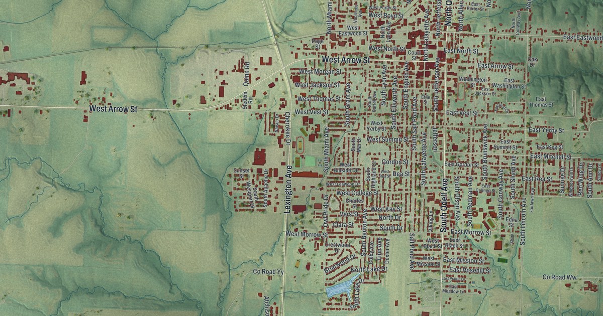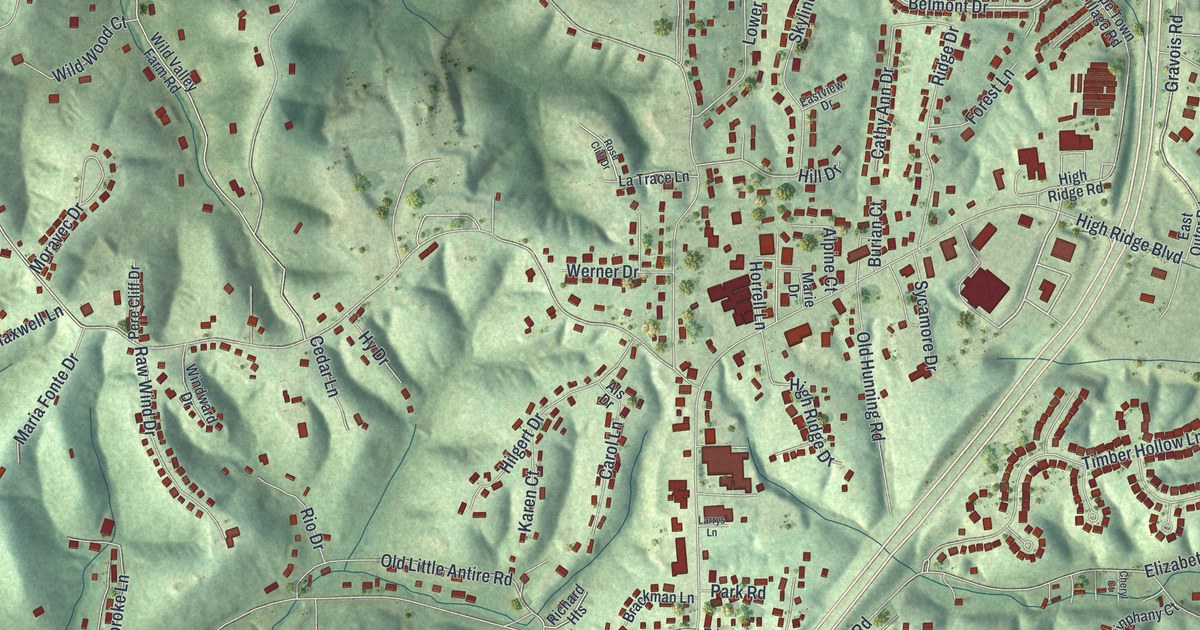
This beautifully detailed map of High Ridge, Missouri was created in 2026 using aerial imagery combined with modern topographical, census, street and landmark data. It’s a one-of-a-kind view of High Ridge that combines accurate data with a vintage aesthetic. The map shows every building in its true location, many of the roads carry their names, and the shaded topographic relief shows the shape of the land.
Explore an aerial view of High Ridge, Missouri
On the map you’ll find Parkdale and Oakwood, along with Hyannis Port Road, Belmont Drive, Brandy Mill Circle, Winthrop Drive, Williams Creek Road, West Rock Creek Road, Rock Creek Road, State Highway Pp, Hunning Road, Antire Road, and more. High Ridge sits about 3 miles northeast of Byrnes Mill, 3 miles southwest of Murphy and 5 miles northeast of Scotsdale. If you look closely you can even find your house accurately drawn in its correct location. Zoom in on the preview to look for yours.
Take a closer look at the High Ridge map
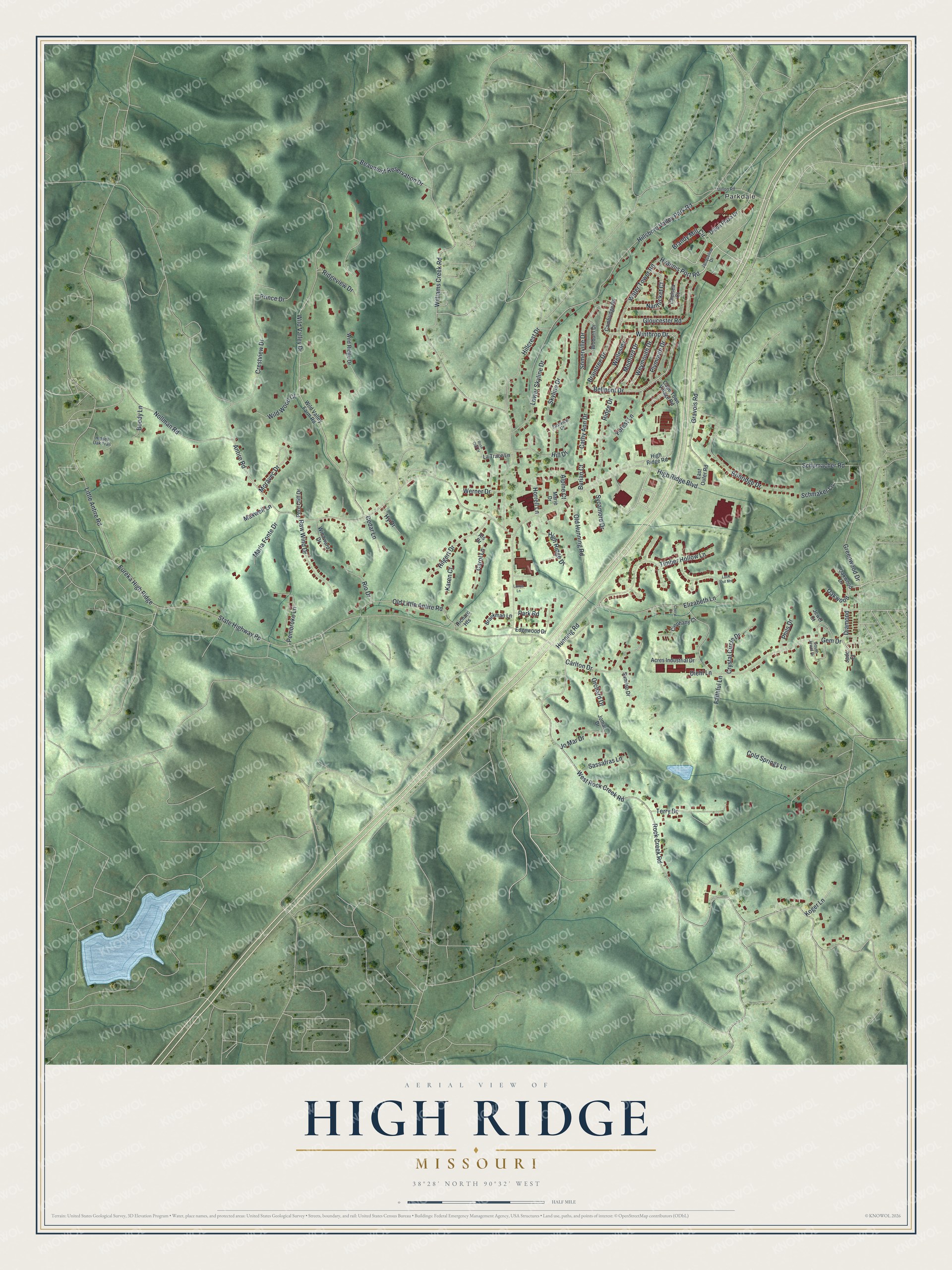
Names on this map
These names are printed on this map.
Places: Parkdale.
Streets and roads: Hyannis Port Road, Belmont Drive, Brandy Mill Circle, Winthrop Drive, Oakwood, Williams Creek Road, West Rock Creek Road, Rock Creek Road, State Highway Pp, Hunning Road, Antire Road, Wild Valley Drive.
More street names, A to Z
Acres Industrial Drive, Alpine Court, Als Drive, Beaumont Reservation Drive, Boedy Lane, Brackman Lane, Braintree Drive, Brinridge Drive, Burian Court, Cambridge Road, Cape Town Village Road, Carlton Drive, Carol Lane, Cathy Ann Drive, Cedar Lane, Chelsea Court, Cheryl Court, Cinphany Court, Cold Springs Lane, Crestview Drive, Crystal Circle Drive, Diamond, Diehl Lane, Dillon Plaza Drive, Dillon Road, East Outer Road, Eastview Drive, Edgewood Drive, Elizabeth Lane, Eureka High Ridge, Faithful Lane, Forest Lane, Gem Drive, Gloucester Road, Gravois Road, Greenwood Drive, Hidden Oak Trail, High Ridge Boulevard, High Ridge Drive, High Ridge Road, Hilgert Drive, Hillcrest Drive, Hill Drive, Hillsboro Valley Park Road, Horrell Lane, Hy Drive, Jacqueline Drive, Jade Court, Jewel Court, Jo Mar Drive, Jomar Drive, Karen Court, Koger Lane, Larrys Lane, La Trace Lane, Little Antire Road, Look Out Mnt, Lower Skyline Drive, Maria Fonte Drive, Marie Drive, Maxwell Lane, Medford Drive, Moravec Drive, Nantucket Court, Nollman Road, Oakwood Drive, Old Hunning Road, Old Little Antire Road, Orchard Drive, Park Road, Pembroke Lane, Pere Cliff Drive, Phils Drive, Plymouth Drive, Prince Drive, Raw Wind Drive, Richard Heights, Ridge Drive, Ridgeview Drive, Rio Drive, Rose Cliff Drive, Sassafras Lane, Schmaker Lane, Schumacher Road, Skyline Drive, Somerville Drive, South Jewel Drive, Sunrise Drive, Sycamore Drive, Terry Drive, Timber Hollow Lane, Water Tower Road, Wellesley, Werner Drive, Weymouth Drive, Wild Ridge Drive, Wild Valley Farm Road, Wild Wood Court, Windward Drive, Woburn Drive.
See it on a wall
The High Ridge map as a framed print. Swipe for more.


This beautifully detailed map of High Ridge makes an attractive addition to your office, library, or den, and it can even be used to teach children the geography and history of the area. It also makes a great gift for anyone with High Ridge roots. When you’re done exploring, click here to get your copy of the High Ridge map.