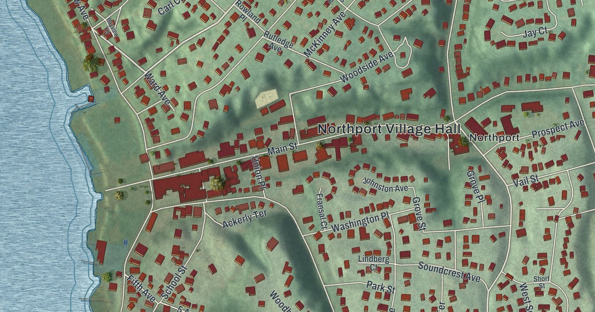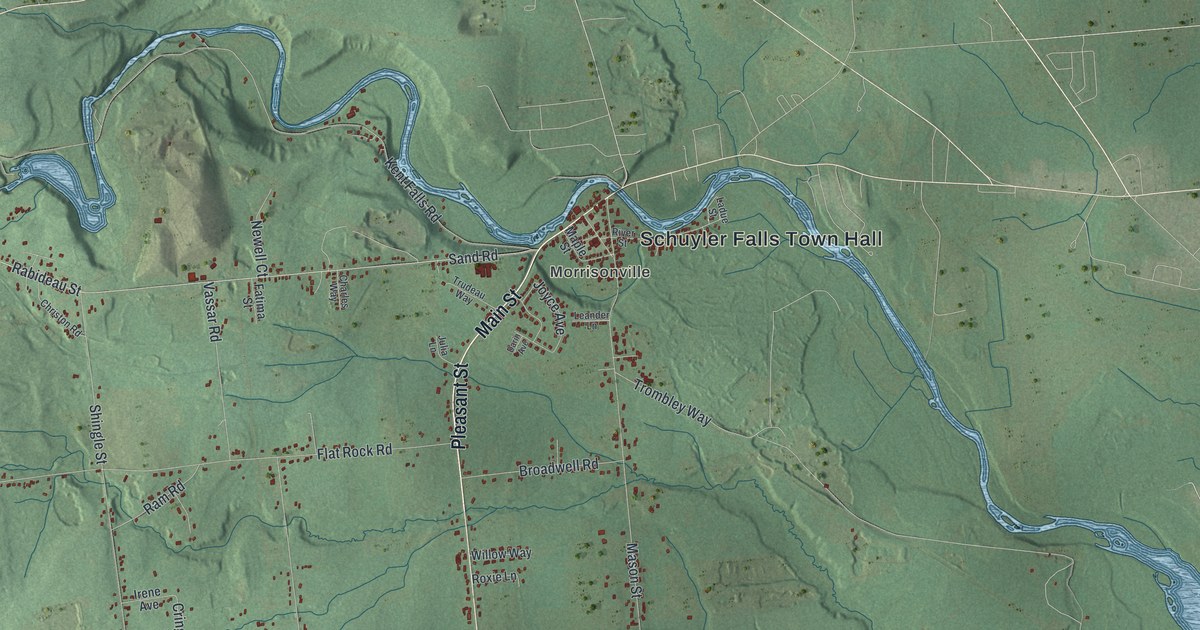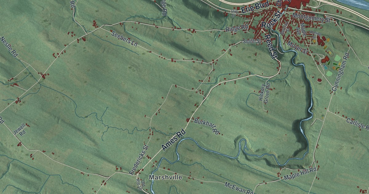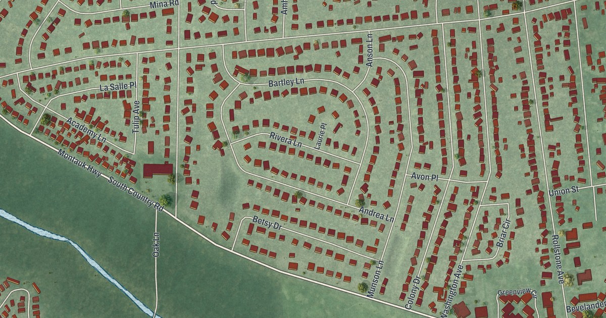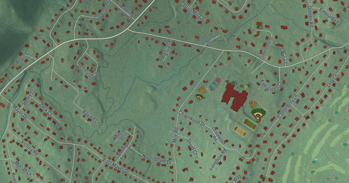
This beautifully detailed map of Montebello, New York was created in 2026 using aerial imagery combined with modern topographical, census, street and landmark data. It’s a one-of-a-kind view of Montebello that combines accurate data with a vintage aesthetic. The map shows every building in its true location, many of the roads carry their names, and the shaded topographic relief shows the shape of the land.
Explore an aerial view of Montebello, New York
On the map you’ll find Montebello Village Hall, along with Lafayette Avenue, Haverstraw Road, Hemion Road, Orchard Street, North Airmont Road, Spook Rock Road, Montebello Road, Viola Road, Mile Road, Grandview Avenue, Coe Farm Road, and more. Montebello sits about 2 miles northeast of Suffern, 2 miles west of Kaser and 2 miles northwest of Monsey. If you look closely you can even find your house accurately drawn in its correct location. Zoom in on the preview to look for yours.
Take a closer look at the Montebello map
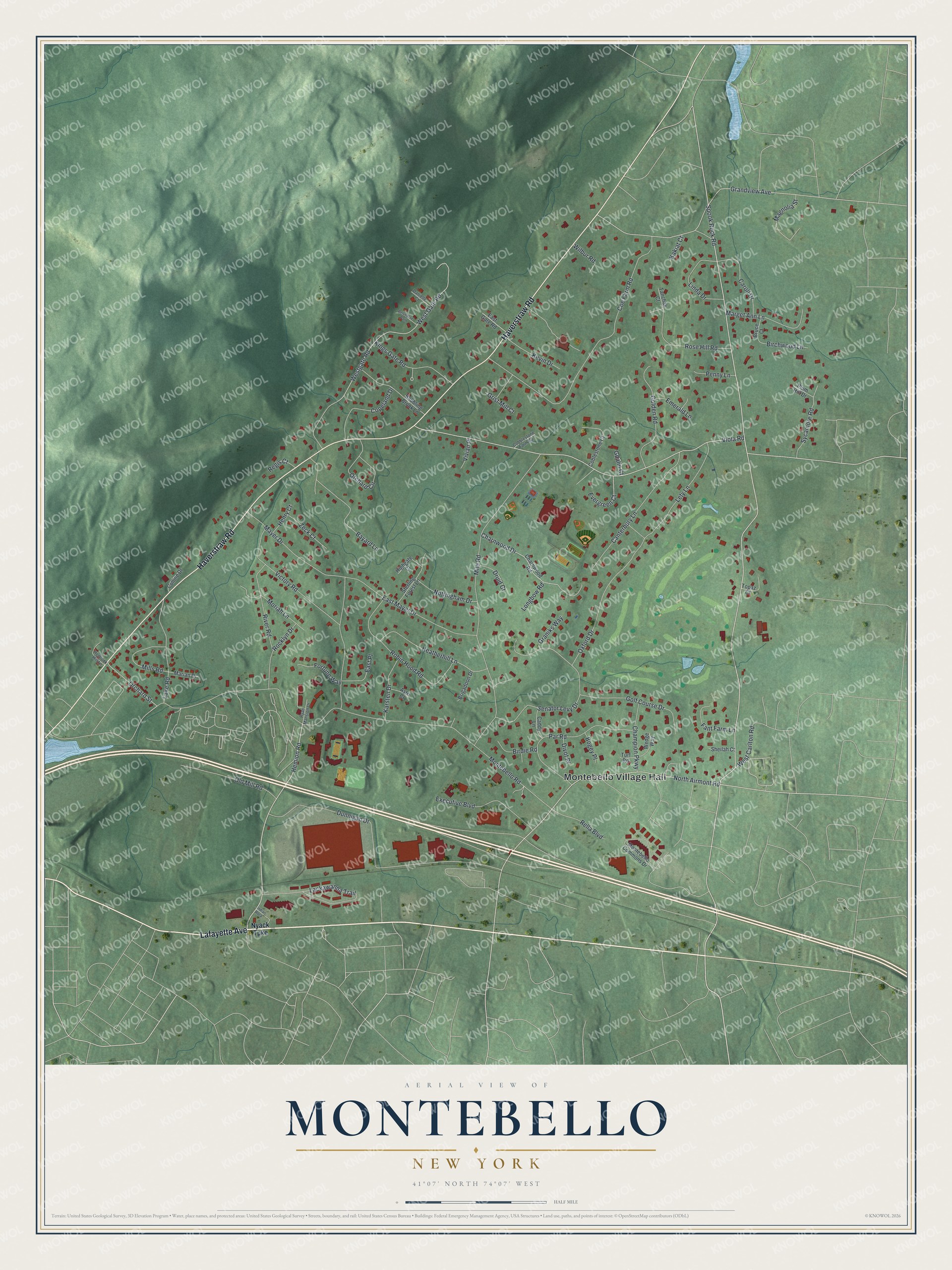
Names on this map
These names are printed on this map.
Places: Montebello Village Hall.
Streets and roads: Lafayette Avenue, Haverstraw Road, Hemion Road, Orchard Street, North Airmont Road, Spook Rock Road, Montebello Road, Viola Road, Mile Road, Grandview Avenue, Coe Farm Road, Dunnigan Drive.
More street names, A to Z
Astri Court, Babbling Brook Lane, Bayard Lane, Belvedere Path, Birchwood Lane, Birdie Road, Bogey Place, Brigadoon Drive, Bruce Court, Caddy Lane, Canterbury Lane, Caroll Drive, Champion Parkway, Charnwood Drive, Charnwood Road, Cobblestone Farm Road, Coblestone Court, Colline Drive, Copeland Drive, Danielle Court, Divot Place, Druid Court, East Gate Road, East Mayer Drive, East Place, Emerald Lane, Evergreen Court, Executive Boulevard, Fant Farm Lane, Fortune Way, Gdalin Court, Golden Road, Golf Course Drive, Graniks Way, Grist Mill Court, Heatherhill Lane, Hemlock Hill Lane, Henry Court, Highgate Court, Indian Rock, Kakiat Court, Karsten Drive, Kevin Drive, Kings Gate Road, Lackawanna Trail, Lake Road, Lety Lane, Linda Drive, Longbow Road, Magnolia Street, Marget Ann Lane, Marian Drive, Mayer Drive, Mills Road, Montebello Commons Drive, Moriah Lane, Nottingham Drive, Nyack Turnpike, Old Mill Road, Orchard Circle, Oxford Drive, Par Road, Penny Lane, Plum Hill Drive, Regis Court, Rella Boulevard, River Road, Robin Hood Road, Rocklyn Drive, Rose Hill Road, Ryan Mansion Drive, Senator Levy Drive, Sheilah Court, Sterling Forest Lane, Sycamore Road, Tanchak Court, Topaz Court, Turf Road, Victory Road, Vivian Place, Wedge Way, West Carlton Road, Westgate Road, West Gate Road, Wilbur Road, Zeck Court.
See it on a wall
The Montebello map as a framed print. Swipe for more.


This beautifully detailed map of Montebello makes an attractive addition to your office, library, or den, and it can even be used to teach children the geography and history of the area. It also makes a great gift for anyone with Montebello roots. When you’re done exploring, click here to get your copy of the Montebello map.