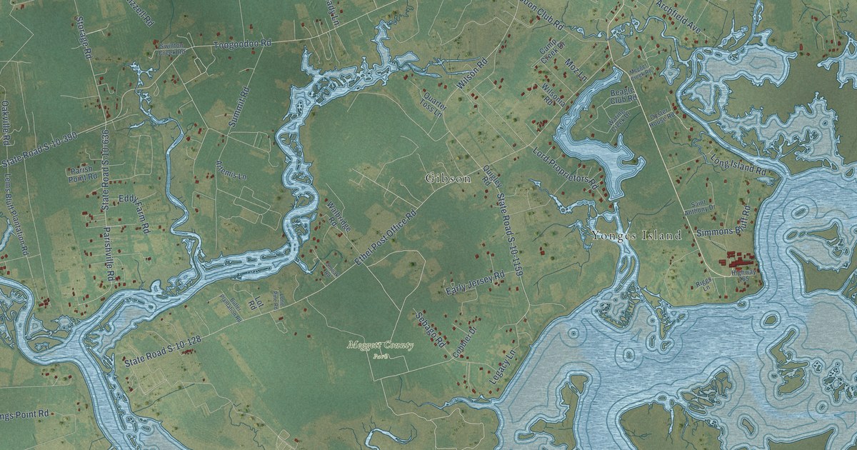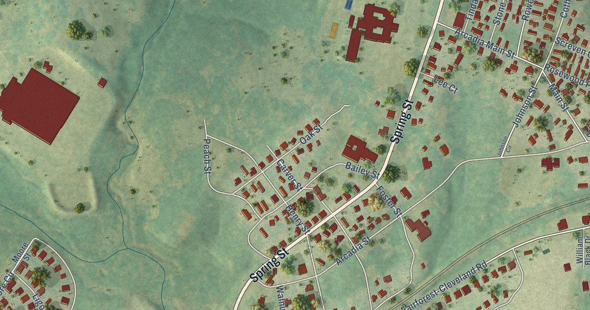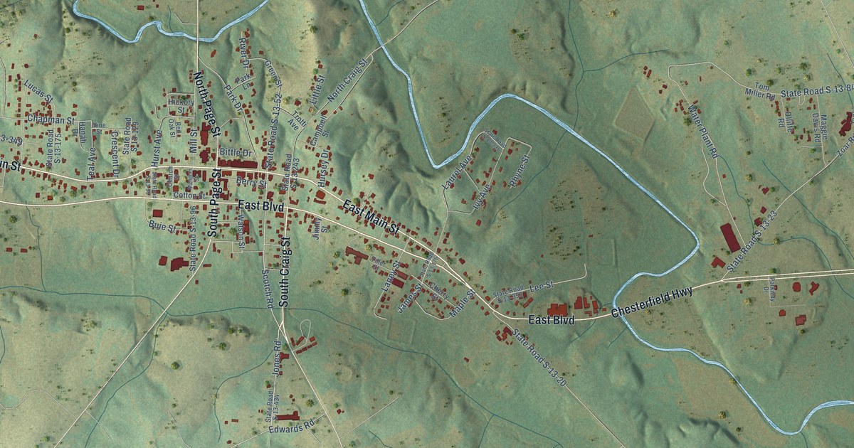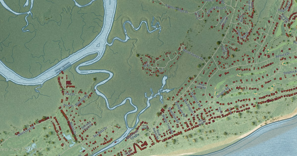
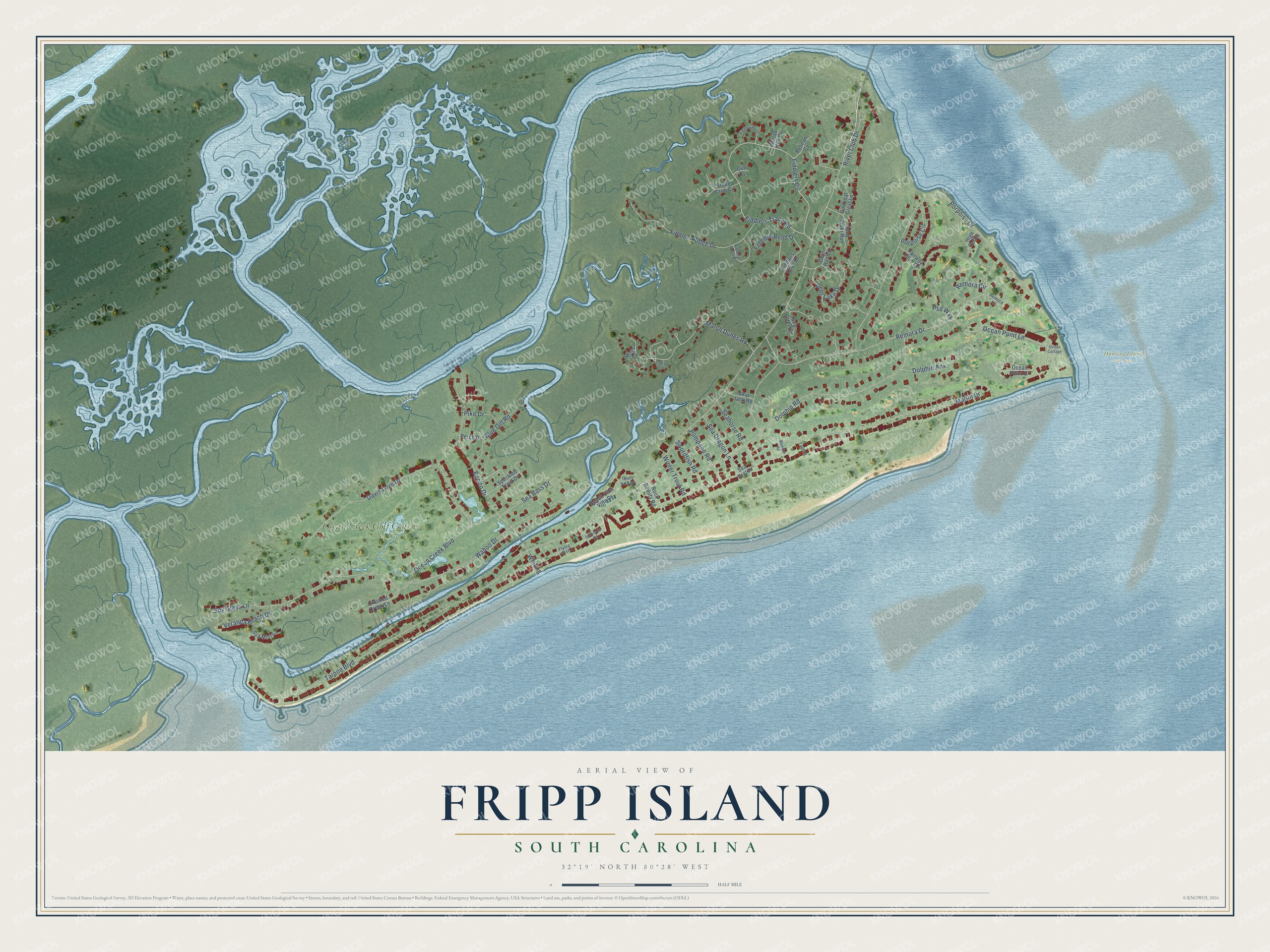
This beautifully detailed map of Fripp Island, South Carolina was created in 2026 using aerial imagery combined with modern topographical, census, street and landmark data. It's a modern aerial view of Fripp Island in Beaufort County, South Carolina, that combines modern data with a vintage aesthetic. The roads feature printed names, and if you look closely you can find your exact house accurately shown in its correct location.
Explore an aerial view of Fripp Island, South Carolina
On this map you'll find Hunting Island State Park, Ocean Creek Golf Course, Tarpon Boulevard, Ocean Point Lane, Seahorse Road, Fiddlers Trace Road, Fiddlers Cv, Dolphin Road, Porpoise Drive, Marlin Drive, Ocean Creek Boulevard, Remora Drive, and more. Each red shape is a building, so zoom in on the preview and look for yours.
Fripp Island is a community in Beaufort County. The Census Bureau counted 963 people here in 2020. Fripp Island sits about 7 miles southwest of Harbor Island, 13 miles east of Port Royal and 16 miles southwest of Edisto Beach. The map prints the town name in its title panel, with the coordinates below it.
Take a closer look at the Fripp Island map
Names on this map
These names are printed on this map.
Places: Hunting Island State Park and Ocean Creek Golf Course.
Streets and roads: Tarpon Boulevard, Ocean Point Lane, Seahorse Road, Fiddlers Trace Road, Fiddlers Cv, Dolphin Road, Porpoise Drive, Marlin Drive, Ocean Creek Boulevard, Remora Drive, Davis Love Drive, Wahoo Drive.
More street names, A to Z
Beach Club Villa Drive, Bluefish Road, Blue Gill Road, Bonito Drive, Cardinal Crest Lane, Crooked Creek Lane, Deer Lake Drive, Deer Run Lane, Dolphin Anx, Fairway Club Drive, Fiddlers Bend Drive, Fiddlers Cove Drive, Fiddlers Point, Fiddlers Ridge Drive, Fidler's Cove Court, Flying Fish, Gull Cv, High Dunes, Marsh Dunes Road, Marsh Hen Cv, Moss Cv, Ocean Cottage, Ocean Point Drive, Pelican Cv, Perch Drive, Pike Drive, Pompano Road, Porpoise Circle, Psd Way, Remora Circle, Remora Lane, River Club Drive, Rock Beauty Road, Sabal Court, Sand Piper Run, Sea Bass Drive, Sea Dragon Lane, Sea Draton, Sea Mist Lane, Sea Otter Lane, Silverside Road, Skip Jack Road, Speckled Trout Drive, Spy Glass Lane, Stone Crab Cv, Swordfish Road, Tautog, Tennis Villa Circle, Veranda Beach Drive, Whiting, Winter Trout Road.
See it on a wall
The Fripp Island map as a framed print. Swipe for more.


Created by KNOWOL in 2026. The buildings are small red shapes, the roads carry their printed names, and shaded relief shows the shape of the land. The title panel reads "AERIAL VIEW OF FRIPP ISLAND, SOUTH CAROLINA" with 32°19' NORTH 80°28' WEST.
Hang it in the hallway, the office or the cabin, or give it to someone who left Fripp Island and still calls it home. Open the preview and look for a street you know. See sizes and frames for the Fripp Island map.