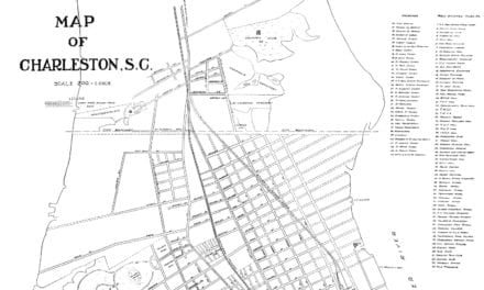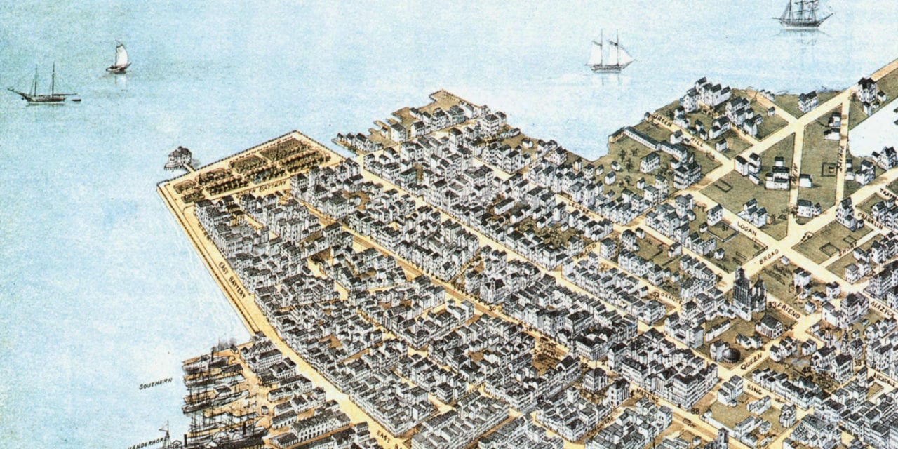
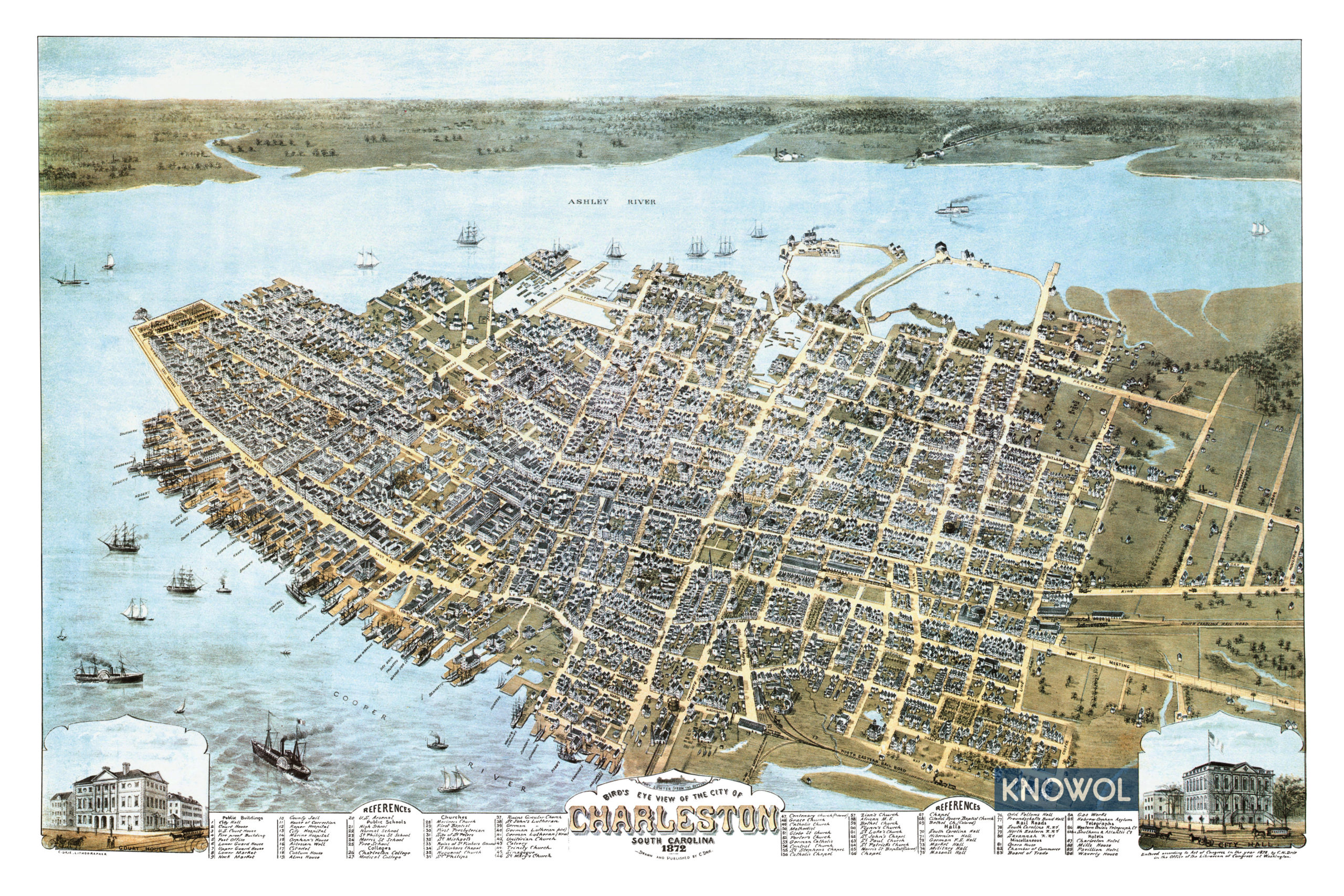
This historic map of Charleston, South Carolina was created in 1872 by C.N. Drie, a prominent 19th century map maker. The map shows a bird’s eye view of the city as it used to be, including street names and old landmarks.
Landmarks on the map include the U.S. Arsenal, Citadel, Artesian Well, Marine Hospital, Alms House, South Carolina Hall, Hibernian Hall, German Hall, Market Hall, Masonic Hall, Charleston Opera House, Hebrew Orphan Asylum, South Carolina Railroad, Charleston Hotel, and more.
This historic map of Charleston was restored by KNOWOL. Reproductions of the restored map are available here.
Bird’s Eye View of Charleston, South Carolina in 1872
This old map of Charleston makes an attractive addition to your office, library, or den and can even be used to teach children the geography and history of the area. When you’re done exploring, click here to get your copy.