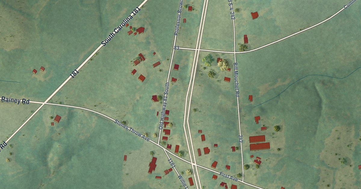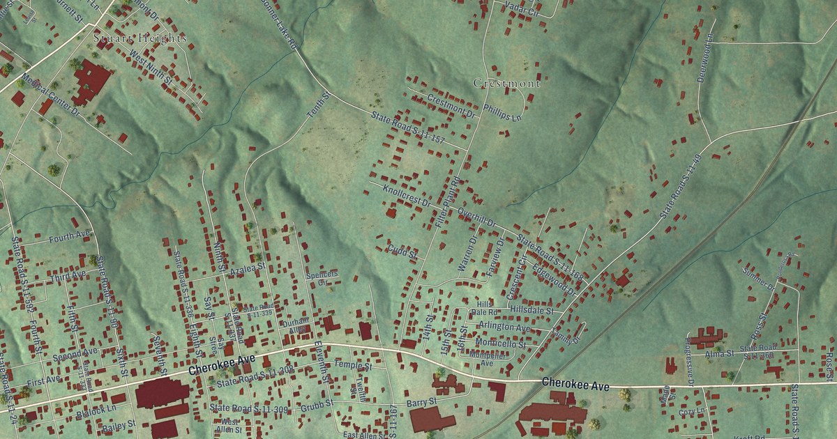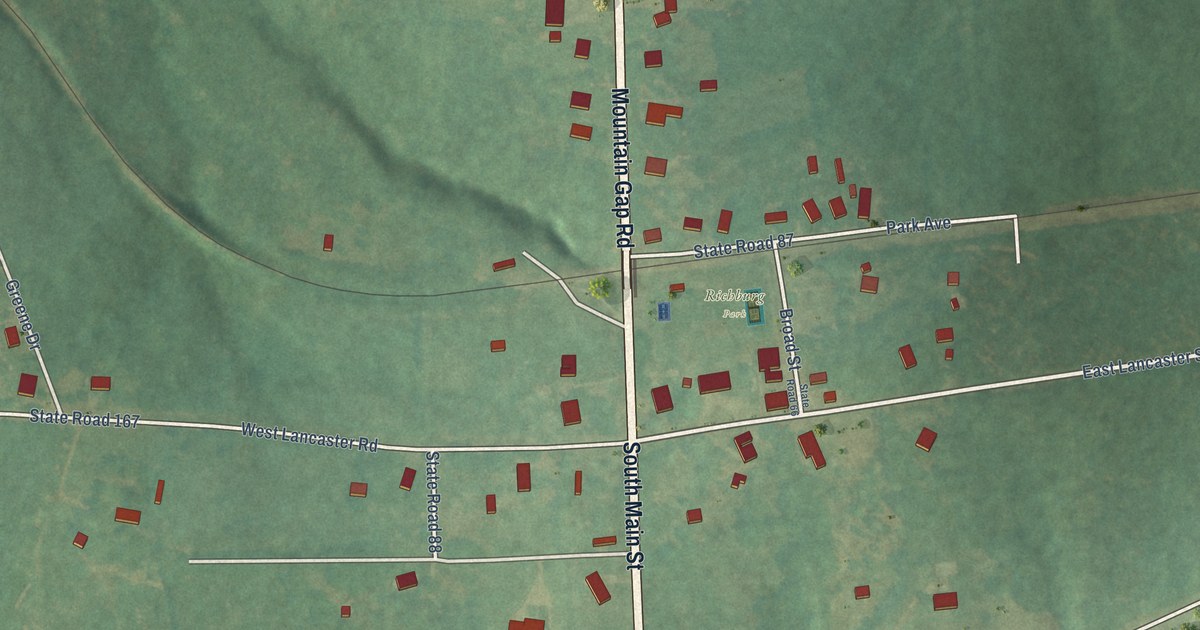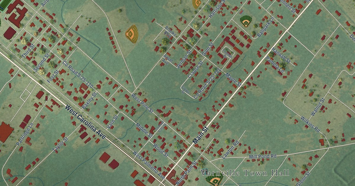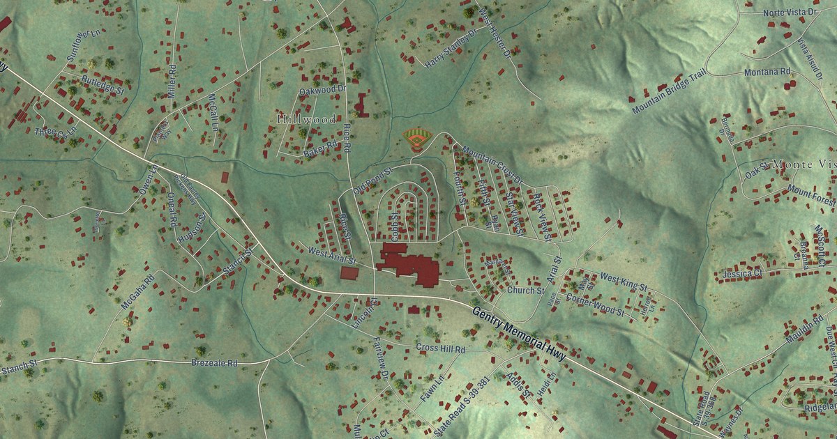
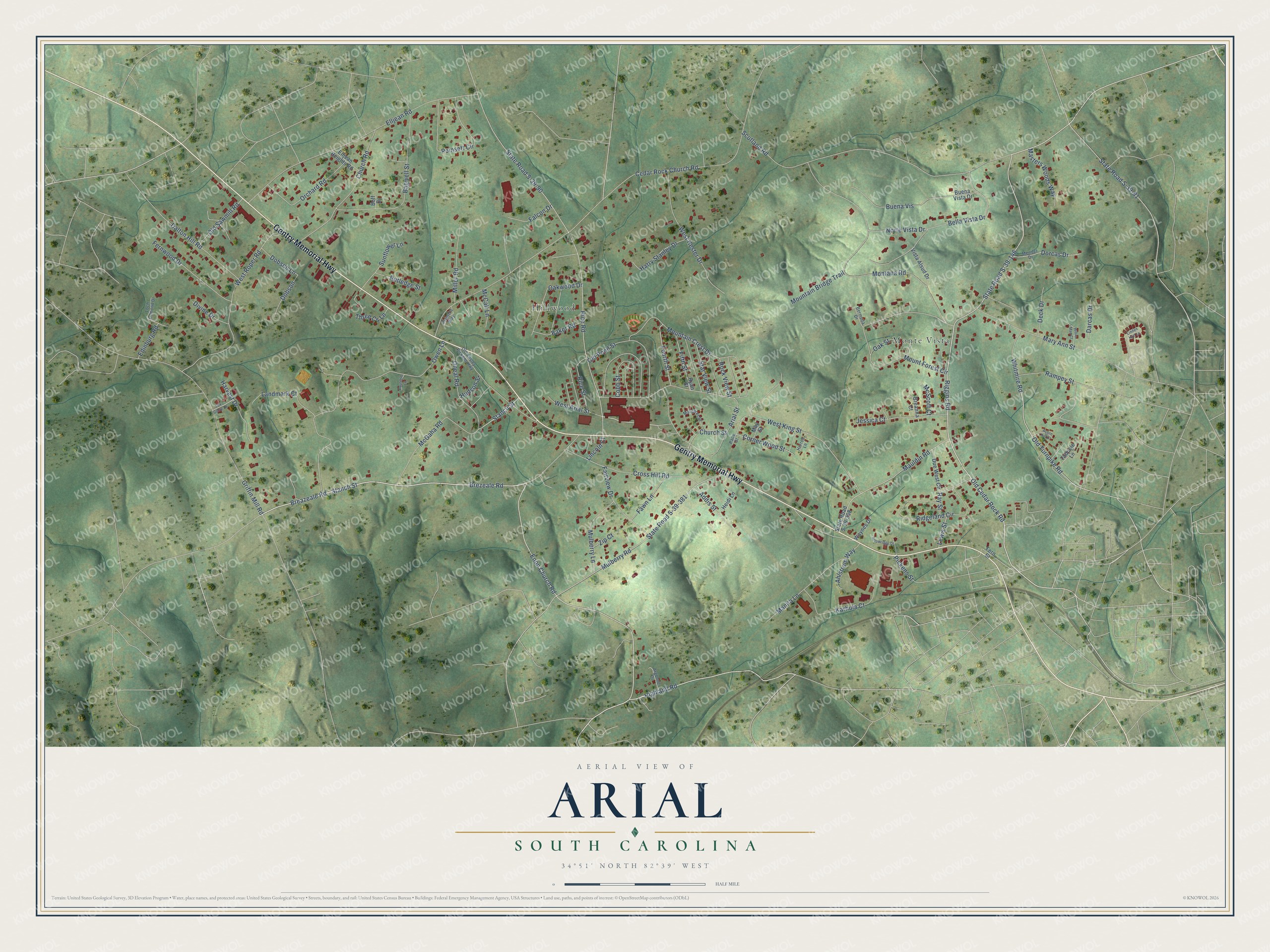
This beautifully detailed map of Arial, South Carolina was created in 2026 using aerial imagery combined with modern topographical, census, street and landmark data. It's a modern aerial view of Arial in Pickens County, South Carolina, that combines modern data with a vintage aesthetic. The roads feature printed names, and if you look closely you can find your exact house accurately shown in its correct location.
Explore an aerial view of Arial, South Carolina
On this map you'll find Hillwood, Monte Vista, Gentry Memorial Highway, Brezeale Road, Stanch Street, Enon Church Road, Riggins Road, Stancil Street, State Road S-39-146, Old Turnpike Road, Old Cedar Rock Road, Cedar Rock Church Road, and more. Each red shape is a building, so zoom in on the preview and look for yours.
Arial has a story worth telling. In March 1928, Textile World reported that ground had been broken at Arial for a new two-story mill to make print cloth. E. S. McKissick, president of the Alice Manufacturing Company at Easley, was building it on land he had just bought two miles from Easley. That's from the Textile World trade journal.
Arial is a community in Pickens County. The Census Bureau counted 2,729 people here in 2020. Arial sits about 4 miles northwest of Easley, 5 miles southeast of Pickens and 5 miles northeast of Liberty. The map prints the town name in its title panel, with the coordinates below it.
Take a closer look at the Arial map
Names on this map
These names are printed on this map.
Places: Hillwood and Monte Vista.
Streets and roads: Gentry Memorial Highway, Brezeale Road, Stanch Street, Enon Church Road, Riggins Road, Stancil Street, State Road S-39-146, Old Turnpike Road, Old Cedar Rock Road, Cedar Rock Church Road, Rice Road, State Road S-39-90.
More street names, A to Z
Acorn Hill Court, Addis Street, Ahlstrom Way, Argonne Drive, Arial Street, Arrowridge Drive, Bagwell Street, Baker Road, Bella Vista Drive, Bermuda Drive, Boff Drive, Breanna Court, Breazeale Road, Buena Vis, Buena Vista Drive, Church Road, Church Street, Cobb Street, Corner Wood Street, Cross Hill Road, Dalton Hill Road, Darcas Drive, Deck Drive, Divine Drive, Dobson, Dobson Lane, Dorcas Drive, Due West Circle, Edinburg Road, Elljean Heights Road, Elljean Road, Fairview Drive, Falcon Drive, Fawn Lane, Fern Street, Fernwood Drive, Fifth Street, Fourth Street, Fox Glove Drive, Griffin Mill Road, Harry Stanley Drive, Harvest Drive, Heidi Lane, Herron Lane, Highland Road, Hudson Street, Jessica Court, Karhula Court, Landmark Court, Lewis Street, Lincoln Court, Linden Hall Lane, Loch Lomond Drive, Manita Lane, Margaret Street, Mary Ann Street, Masters Woods Way, Mauldin Road, May Street, McCall Lane, McGaha Road, McScott Court, Mendel Drive, Miller Road, Montana Road, Mountain Bridge Trail, Mountain Crest Drive, Mount Forest Circle, Mulberry Lane, Mulberry Road, Norte Vista Drive, Oak Street, Oakwood Drive, Old Easley Pickens Highway, Old Pond Street, Old Sawmill Road, Oneal Road, Orchard Road, Owen Lane, Pace Street, Paulette Lane, Pickens Street, Planters Way, Poinsett Circle, Rampey Street, Ray Street, Rice Street, Ridgeland Circle, Rock View Street, Rutledge Street, Ryan Street, Scotland Road, Star View Street, State Road S-39-81, State Road S-39-368, State Road S-39-381, Sunflower Lane, Tadpole Lane, Three Cs Lane, Vista Alsud Drive, Waynes Drive, West Arial Street, West Hester Drive, West King Street, West Roper Road, Whitmire Road, Willie Mae Court, Zip Court.
See it on a wall
The Arial map as a framed print. Swipe for more.


Created by KNOWOL in 2026. The buildings are small red shapes, the roads carry their printed names, and shaded relief shows the shape of the land. The title panel reads "AERIAL VIEW OF ARIAL, SOUTH CAROLINA" with 34°51' NORTH 82°39' WEST.
It looks right in a kitchen, an office or a den, and it's a gift for anyone who grew up in Arial or moved away. Open the preview and find your street. See sizes and frames for the Arial map.