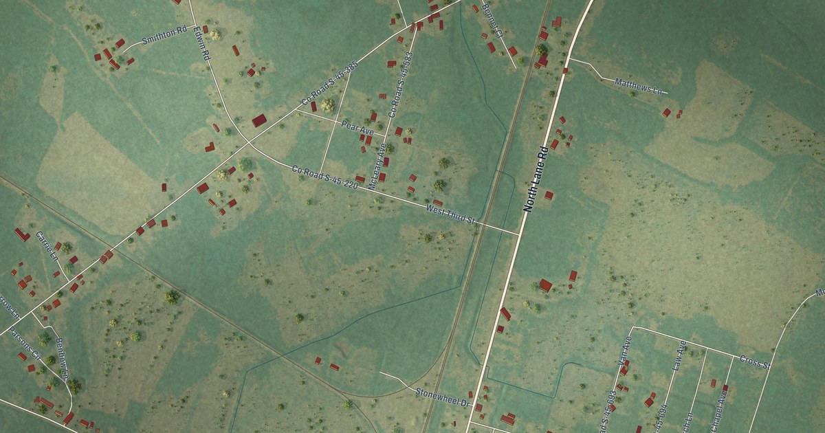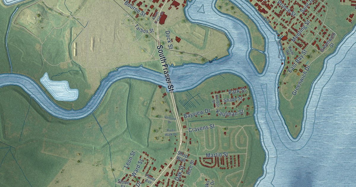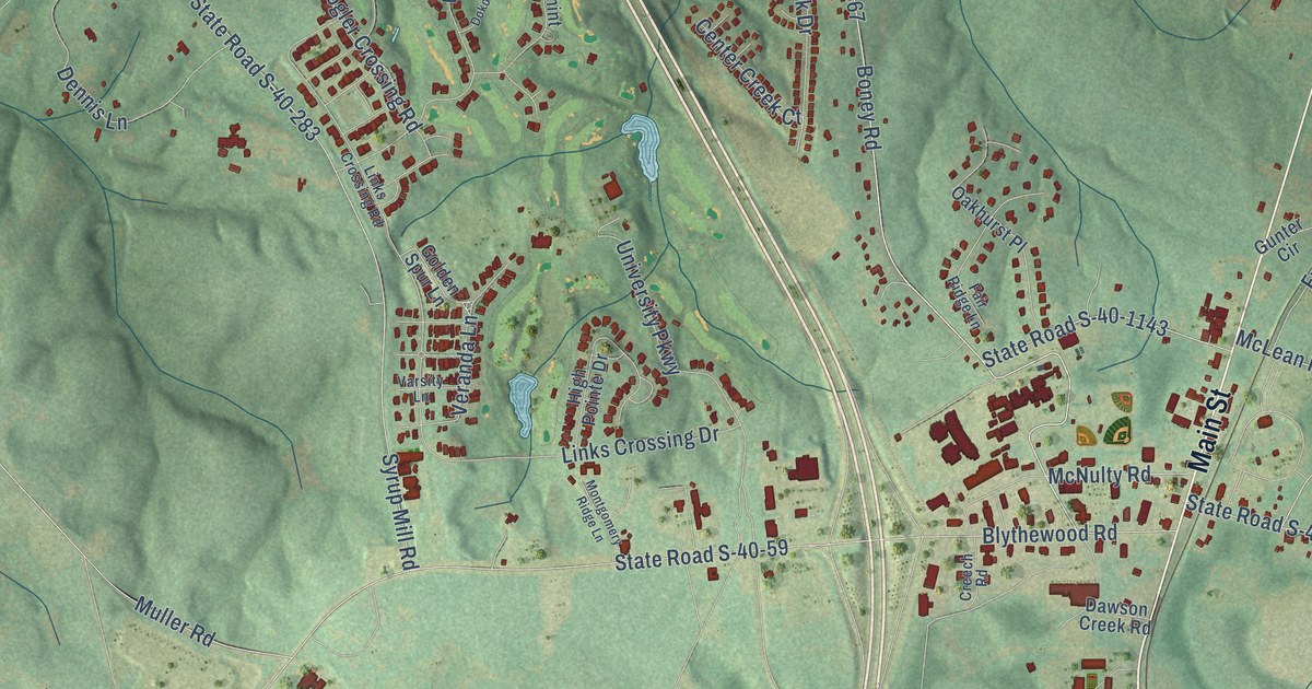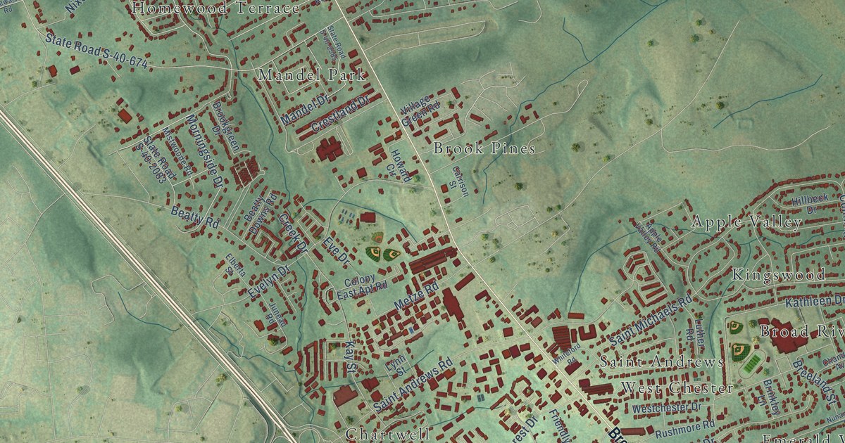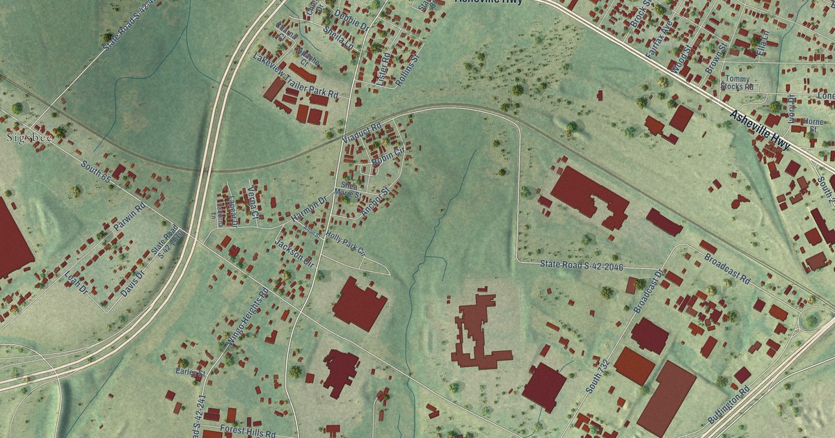
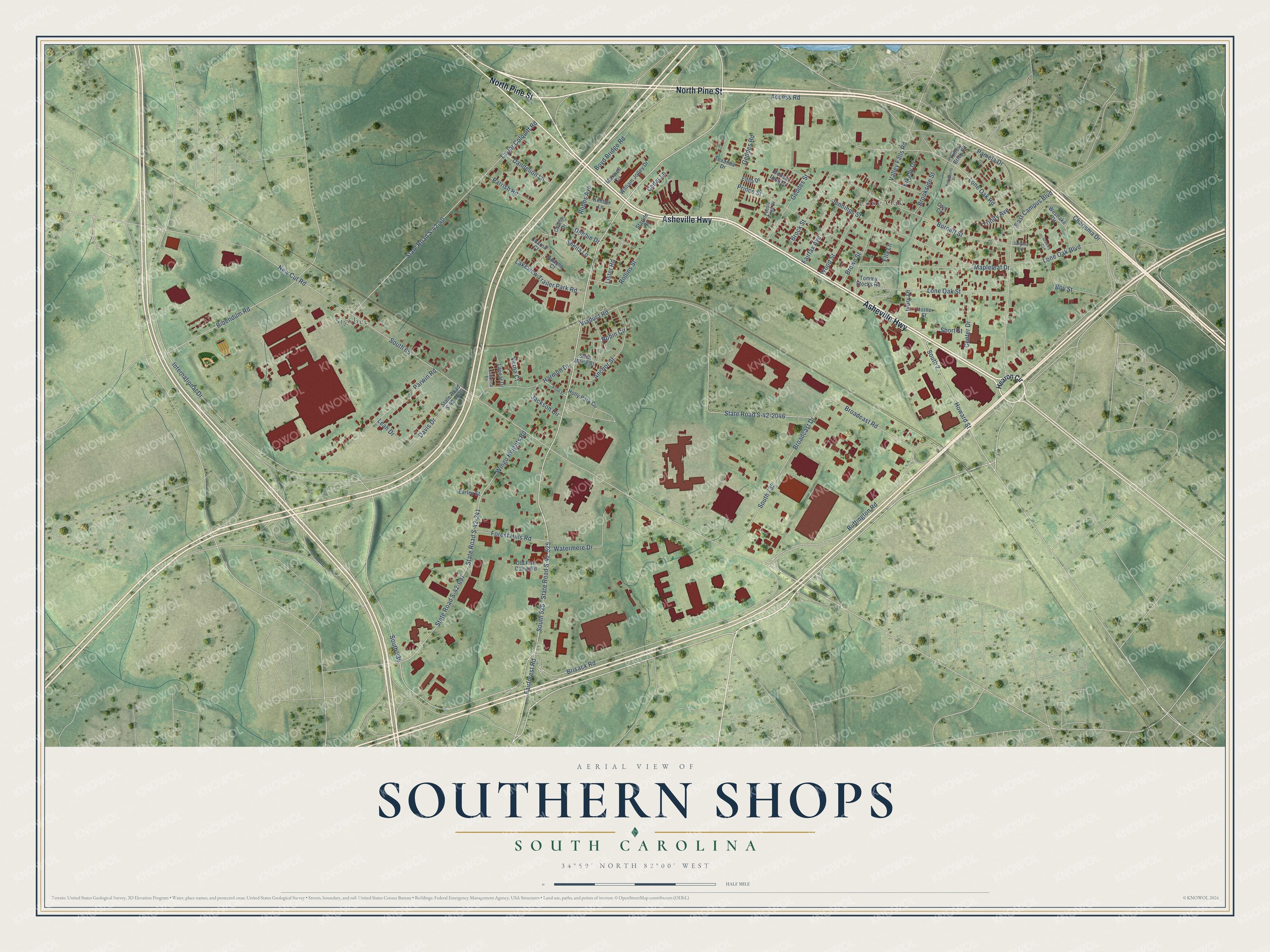
This beautifully detailed map of Southern Shops, South Carolina was created in 2026 using aerial imagery combined with modern topographical, census, street and landmark data. It's a modern aerial view of Southern Shops in Spartanburg County, South Carolina, that combines modern data with a vintage aesthetic. The roads feature printed names, and if you look closely you can find your exact house accurately shown in its correct location.
Explore an aerial view of Southern Shops, South Carolina
On this map you'll find Lone Oak, Sigsbee, North Pine Street, Asheville Highway, South 525, Lone Oak Road, South 839, International Drive, Brisack Road, Buffington Road, Howard Street, South 2, and more. Each red shape is a building, so zoom in on the preview and look for yours.
Southern Shops is a community in Spartanburg County. The Census Bureau counted 3,663 people here in 2020. Southern Shops sits about 2 miles west of Hilltop, 2 miles northwest of Saxon and 2 miles southwest of Valley Falls. The map prints the town name in its title panel, with the coordinates below it.
Take a closer look at the Southern Shops map
Names on this map
These names are printed on this map.
Places: Lone Oak and Sigsbee.
Streets and roads: North Pine Street, Asheville Highway, South 525, Lone Oak Road, South 839, International Drive, Brisack Road, Buffington Road, Howard Street, South 2, Wingo Heights Road, South 65.
More street names, A to Z
Access Road, Alton Street, Anchor Street, Apache Court, Bibendum Road, Boyd Bridge Road, Boy Street, Broadcast Drive, Broadcast Road, Brock Street, Brookside Street, Brown Street, Burnett Street, Cain Circle, Cedar Lane, Center Drive, Charisma Drive, Charna Court, Chiefs Drive, Connie Lynn Drive, Dandelion Lane, Davis Drive, Debbie Drive, Earley Street, East Campus Boulevard, Edna Drive, Ella Lane, Fairfax Avenue, Fairforest Road, Forest Hills Road, Geddes Road, Geddes Street, Gravely Court, Harmon Drive, Hearon Circle, Holly Park Circle, Horne Street, Ivory Drive, Jackson Circle, Jennings Street, Kenilworth Drive, Kikelly Drive, Kimber Lane, Ladonna Lane, Lakeview Trailer Park Road, Lapear Drive, Leah Drive, Lister Road, Lone Oak Boulevard, Lone Oak Street, Mapleleaf Drive, Maxwell Circle, New Cut Road, Old Fish Camp Road, Pamela Drive, Parrish Road, Parwin Road, Pebble Ridge Drive, Prince Street, Robbs Avenue, Robin Circle, Rollins Street, Safeway Avenue, Shea Marie Street, Sheila Lane, Short Street, South 732, Starlite Court, State Road S-42-40, State Road S-42-241, State Road S-42-525, State Road S-42-697, State Road S-42-2046, State Road S-42-2810, Taylor Colquitt Road, Texanna Drive, Tommy Stocks Road, Trinity Avenue, Valley Falls Road, Verna Court, Viaduct Road, Watermere Drive, Westlake Drive, William Jolley Drive, Wood Street, Yellow Brick Road.
See it on a wall
The Southern Shops map as a framed print. Swipe for more.


Created by KNOWOL in 2026. The buildings are small red shapes, the roads carry their printed names, and shaded relief shows the shape of the land. The title panel reads "AERIAL VIEW OF SOUTHERN SHOPS, SOUTH CAROLINA" with 34°59' NORTH 82°00' WEST.
It looks right in a kitchen, an office or a den, and it's a gift for anyone who grew up in Southern Shops or moved away. Open the preview and find your street. See sizes and frames for the Southern Shops map.